Explore Top Applications of UAVs in 2026
Individuals asking about the applications of UAVs are often asking the wrong question. They ask what drones can do, not what it takes to run drone work reliably, legally, and profitably once a job moves beyond a one-off flight.
That gap matters. A drone can capture stunning footage, map a construction site, inspect a tower, or support a search team. But the aircraft is only one part of the job. True value comes from repeatable mission planning, pilot readiness, airspace checks, maintenance control, client documentation, and records that hold up when a regulator, insurer, or enterprise customer asks for proof.
That is why the strongest UAV programs do not treat flying as the whole service. They treat flying as one step in an operational chain.
The market direction reflects that. In the Americas, the UAV market was valued at USD 33,169.9 million in 2024 and is projected to reach USD 79,041.2 million by 2033, with the U.S. holding an 86% regional share in 2024, according to Grand View Research’s Americas UAV market report. Growth is tied to military, commercial, and public safety use, which tells you something important. The serious demand is no longer speculative. It is embedded in core operations.
That same reality is pushing operators to think beyond aircraft specs. Payloads are getting more important, public safety fleets are expanding, and commercial users need systems that keep flights organized and compliant at scale. If you are working in adjacent manufacturing and prototyping workflows, UAV 3D Printing is another useful angle on how drone programs mature from hobby-grade setups into professional toolchains.
Below are the applications of UAVs that consistently deliver practical business value. Each of these also has its own operational demands. That is where a management platform such as Dronedesk becomes less of a nice extra and more of a working requirement.
1. Aerial Photography and Videography
Aerial media was one of the first commercial drone services to go mainstream, and it is still one of the most accessible entries into professional UAV work. The barrier to getting paid is lower than in survey or inspection. The barrier to staying profitable is not.
Real estate developers, tourism teams, wedding filmmakers, sports broadcasters, and production crews all want the same thing. Clean, stable, repeatable shots that fit a brief and arrive on time. The pilots who build durable businesses are usually the ones who standardize the job, not the ones who improvise every flight.
What works in the field
Golden hour helps, but consistency matters more than chasing perfect light. If a client needs repeat visits across multiple locations, fixed shot lists and predefined orbits save more time than any camera upgrade.
For recurring commercial shoots, I have seen the biggest improvements come from operational discipline:
- Template flight plans: Build repeatable shot patterns for rooftops, façades, access roads, and establishing shots.
- Permission tracking: Keep location approvals, landowner permissions, and shoot notes tied to the job record.
- Portfolio-ready logs: Store aircraft, pilot, date, and site details with final deliverables.
If you run media work as a business, drone videography services become much easier to scale when planning, airspace review, and job records live in one system.
Where teams get caught out
The failure point in aerial media is usually not flying. It is logistics. Pilots lose margin driving between sites, redoing missed shots, or chasing paperwork after the fact. Urban filming also creates airspace, privacy, and bystander management issues that many new operators underestimate.
The best media pilots do not just fly well. They show up with a plan, a client-ready risk posture, and a clear process for getting the same result twice.
For solo operators, Dronedesk-style job management is useful because it keeps client details, site notes, and flight records in one place. For small crews, it helps coordinate aircraft, batteries, and pilot assignments across several shoots in a day. That operational layer is what turns aerial content from creative freelancing into a dependable service line.
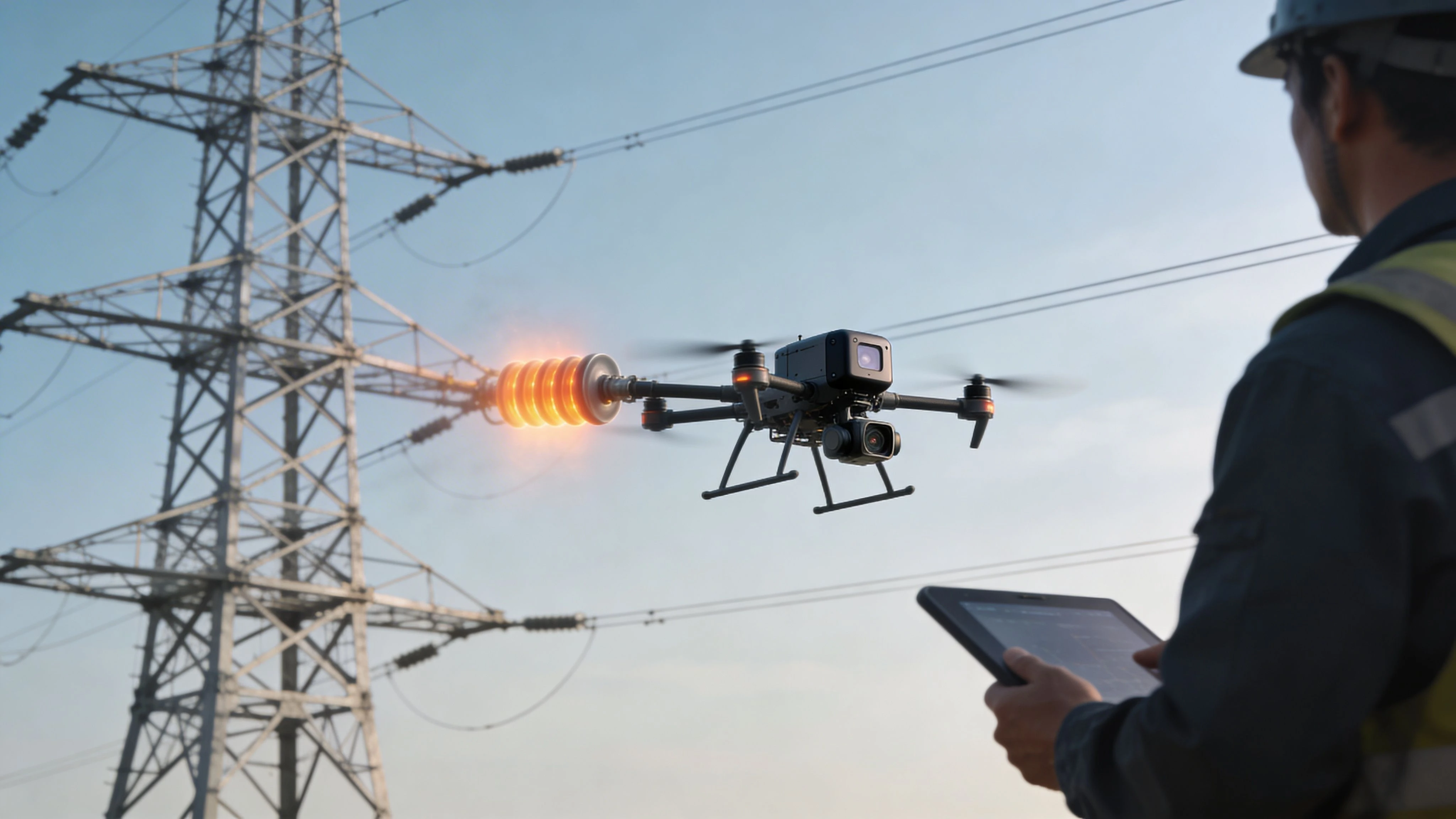
2. Infrastructure and Asset Inspection
Inspection work is where drones stop being a content tool and become an operational instrument. Utilities, telecom operators, solar operators, wind teams, and industrial site managers use UAVs because sending people onto towers, roofs, blades, or live assets is slow, expensive, and often risky.
The type of drone matters less than the inspection workflow. A good inspection program starts with asset history, previous defect records, and clear capture requirements. Are you checking insulators, thermal anomalies, corrosion, blade damage, loose fittings, vegetation encroachment, or panel hotspots? If that is not defined before takeoff, the flight tends to produce lots of imagery and not much decision value.
Why inspection has become a core use case
The broader market data supports what operators already see on the ground. The global UAV market is valued at USD 41.27 billion in 2025 and projected to reach USD 160.44 billion by 2034, with critical growth driven by infrastructure, emergency services, agriculture, and healthcare, according to Fortune Business Insights on the global UAV market.
That matters for inspection teams because enterprise buyers are no longer experimenting casually. They are building programs around recurring data collection.
What separates useful inspections from expensive photo flights
Inspection teams need structure:
- Asset-specific checklists: A wind turbine mission does not need the same capture sequence as a telecom mast or substation.
- Weather discipline: Wind, glare, heat shimmer, and low contrast can ruin data quality even when the aircraft is technically safe to fly.
- Reporting standards: Engineers need timestamped, geotagged findings, not just folders full of images.
Thermal work adds another layer. It often needs tighter operating procedures, better sensor understanding, and stronger interpretation skills than standard RGB capture.
What does not work is treating every site as a one-off. Once you inspect multiple assets across multiple clients, you need fleet status, maintenance scheduling, pilot records, and recurring job templates. Dronedesk fits this use case because it gives operators one place to manage sites, aircraft, teams, and compliance records. That becomes especially important when inspections are routine and evidence needs to stand up months later.
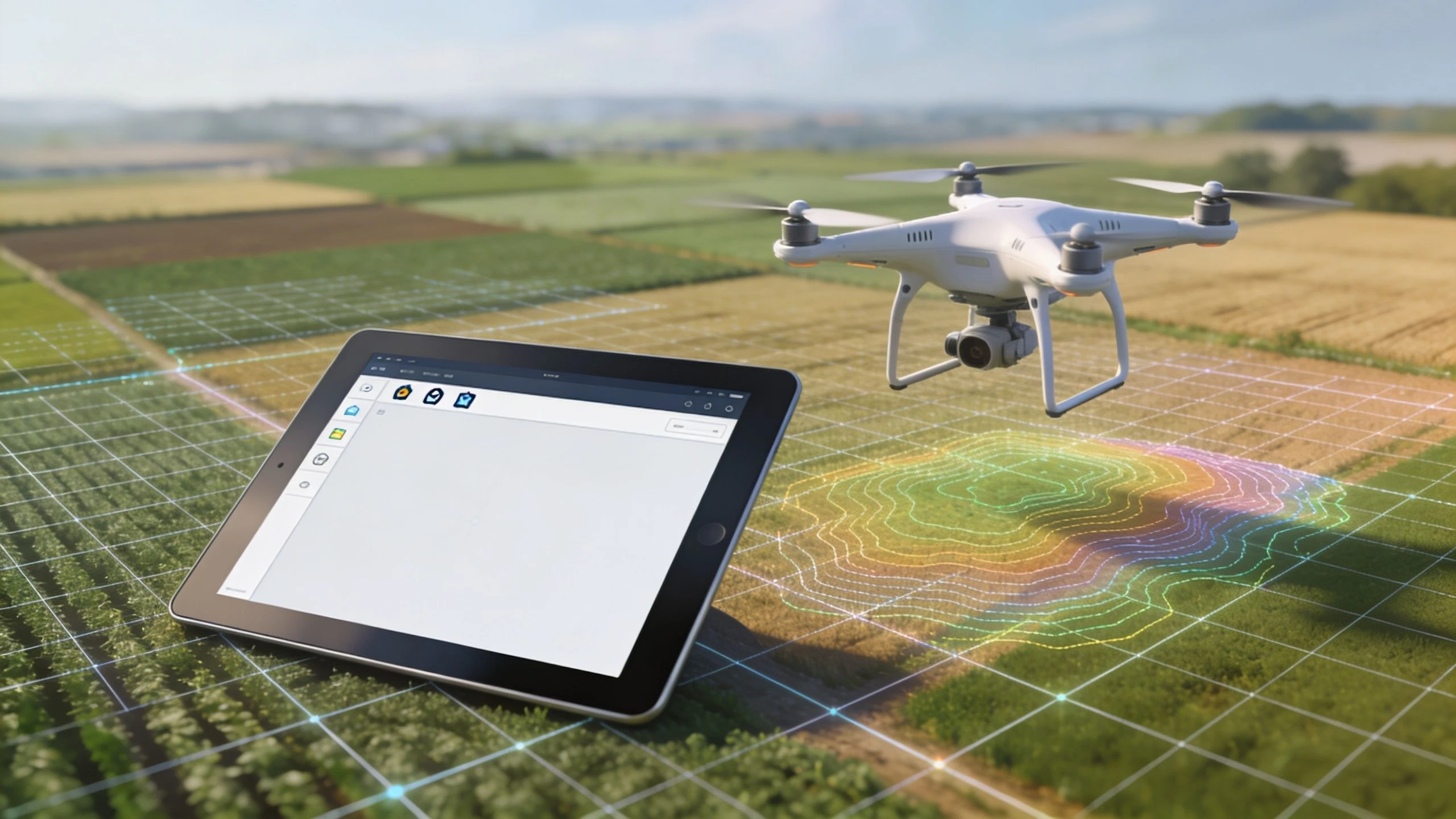
3. Land Surveying and Mapping
Surveying is one of the strongest applications of UAVs because clients are not buying pretty images. They are buying usable geospatial outputs. Orthomosaics, elevation data, contour products, cut-and-fill analysis, stockpile volumes, and 3D models can change how a project is measured and managed.
The gap between “drone mapping” and actual surveying is still widely misunderstood. A basic grid mission is easy. Delivering data that surveyors, engineers, and project managers trust is harder.
A case that shows the difference
On a solar park construction project in Spain, Servitopo used Microdrones’ mdLiDAR1000 system with a Livox MID-360 sensor over a 50-hectare site. The drone captured point clouds at 200 points per square meter. Before the drone workflow, ground surveys took 2 weeks with a team of 10 surveyors and produced 5 to 10 cm vertical accuracy in difficult terrain. The drone survey was completed in 3 days with a single operator-pilot duo and delivered 2 cm vertical accuracy, with a full 3D model integrated with BIM. The project recorded an 85% reduction in survey time and 60% cost savings, from €45,000 to €18,000, according to Microdrones case studies.
That is not a generic “drones save time” claim. It is a reminder that mapping value appears when data quality, sensor choice, and downstream workflow all line up.
Operational reality for survey teams
A strong mapping operation usually depends on a few habits:
- Mission consistency: Altitude, overlap, speed, and sensor settings need to be repeatable.
- Control and documentation: RTK or PPK settings, base station setup, and coordinate reference decisions must be recorded.
- Fast post-flight review: If you miss coverage, you want to know before demobilizing.
Teams expanding into surveying should also understand when not to promise survey-grade outputs. Some jobs need licensed survey oversight, stricter QA, or ground control. Overselling accuracy is one of the fastest ways to lose credibility.
For operators moving from simple mapping into professional survey work, drone operations transforming land surveying is a useful example of how the workflow matures beyond basic flight planning.
A platform like Dronedesk helps because mapping missions create a lot of operational detail. Site files, airspace checks, pilot assignments, equipment records, and recurring corridor or grid missions all need to stay organized. Without that structure, the drone may fly well and the survey business still becomes messy.
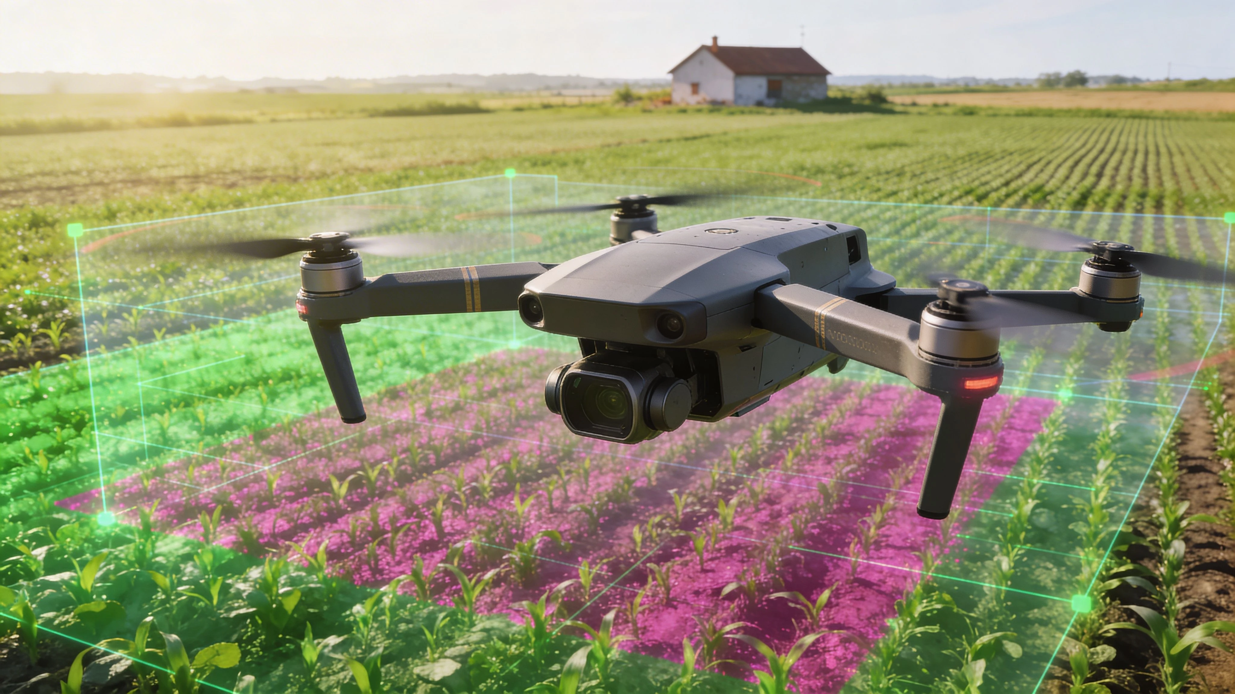
4. Agricultural Monitoring and Precision Farming
Agriculture has been one of the most durable commercial use cases for UAVs because the value is tied to field decisions, not novelty. Farmers and agronomists use drones to understand crop stress, drainage issues, pest pressure, stand variability, irrigation performance, and treatment priorities.
The quality of the result depends less on flying once and more on building a monitoring rhythm across the season.
Where drones help most on farms
Multispectral imaging is useful when the farm has a plan for acting on the data. If no one is going to compare zones, scout anomalies, or adjust inputs, the output becomes interesting but not operational.
The verified market data points to why agriculture keeps attracting investment. Globally, UAVs are being used for soil scanning for nitrogen content, electrical conductivity, crop health, pest and weed detection, pesticide spraying, and even fish population monitoring, according to the same Fortune Business Insights market report cited earlier. That source also notes that aerial application treats 127 million acres of U.S. cropland annually, representing 28% of commercial cropland.
Those figures matter because they show agriculture is not a fringe application. It is already integrated into large-scale field operations.
What makes ag drone programs useful
The best farm programs usually follow a simple operational logic:
- Establish a baseline early: Early-season flights make later stress changes easier to interpret.
- Fly under comparable conditions: Similar light and timing improve image comparison.
- Connect imagery to action: Use drone data to guide scouting, not replace it.
A common mistake is treating every vegetation index output as equally meaningful. In practice, agronomic interpretation depends on crop type, growth stage, local conditions, and what happened on the ground after the previous flight.
In agriculture, the drone is not the decision-maker. It is the fast, repeatable observer that helps the farm team inspect more acres with better timing. Operational software plays a critical role here.
Dronedesk can help schedule recurring flights, keep field histories organized, and store mission records alongside notes on weather, inputs, and client communication. For solo operators serving multiple farms, that reduces admin drift. For ag service teams, it makes recurring monitoring far easier to deliver consistently across many fields and many clients.
5. Real Estate and Property Marketing
Real estate is often treated as a simpler version of aerial videography, but the commercial logic is different. In property marketing, the job is not just to create attractive footage. It is to communicate context fast. Access roads, lot lines, views, roof condition, surrounding amenities, and the relationship between buildings all matter.
That is why drones remain effective in this segment. Ground photography can make a property look polished. Aerial work explains the property.
The practical value
Residential agents use UAVs to make listings stand out. Developers use them to show site progress and neighborhood context. Commercial brokers use them to help buyers understand ingress, parking, nearby transport links, and adjacent parcels.
Good property content is rarely overproduced. It is clear, honest, and framed for the buyer. Overly dramatic flight moves can reduce trust if they hide the actual layout or distort scale.
A practical package often includes:
- High oblique stills: Good for showing the structure and land together.
- Straight-down context shots: Useful for lots, acreage, and access.
- Short, stable reveal clips: Better for listings than long cinematic sequences.
What operators should manage carefully
Property work often involves tight schedules, changing weather, and agents who want quick turnaround. The operational problem is volume. Once you are handling many listings, you need a system for booking, site notes, approvals, deliverables, and flight logs tied to each property.
Privacy and local restrictions also matter more than many people expect. Neighboring homes, roads, and built-up areas can complicate simple listing shoots. New operators sometimes assume low-risk visuals mean low compliance risk. That is not always true.
Dronedesk is useful here because it lets operators manage multiple property jobs in one place, with clear records of who flew, where, and when. It also helps track repeat developer work and recurring site updates. In this part of the applications of UAVs market, clean administration often wins more repeat business than fancy editing.
6. Search and Rescue Operations
Search and rescue is one of the clearest examples of drones creating operational value under pressure. A key advantage is not that a UAV replaces ground teams. It is that the UAV gives responders faster eyes on terrain, structures, flood zones, and likely search corridors.
That distinction matters. Good rescue teams do not deploy drones because they are impressive. They deploy them because every minute saved on reconnaissance sharpens the next ground decision.
Evidence from disaster response
Since 2022, UNDP-trained teams in six central provinces of Vietnam have used DJI Matrice 300 RTK aircraft with a Zenmuse P1 45MP camera for flood damage mapping. Manual ground teams previously needed 7 to 10 days to assess flood extent and infrastructure damage using GPS and cloud-limited satellite imagery. With drones, assessments dropped to 4 to 6 hours per site. The system produced 5 cm GSD orthomosaics, identified 25% more affected households, and supported recovery prioritization for 40 km of roads. Aid distribution improved by 30% faster, reducing economic losses by $2.5M during the 2023 monsoon season, according to the University of Texas Arlington resource on UAV applications in international disaster management.
That is the kind of result that matters in public safety. Faster situational awareness changes what responders can do next.
What rescue teams need operationally
The challenge is readiness. A rescue drone sitting in a case with dead batteries, outdated firmware, or unclear permissions is not an emergency tool.
Strong programs usually include:
- Pre-built deployment kits: Charged batteries, thermal payloads, lighting, and transport cases ready to move.
- Agency coordination: Police, fire, volunteer SAR, and emergency management should know who owns what role.
- After-action records: Flights, findings, and handoff notes need to be stored for review and future training.
For agencies and contractors supporting emergency response, drone operations transforming emergency services is a relevant view of how these workflows mature.
Dronedesk helps because it centralizes mission planning, logging, team management, and compliance records. In search work, that means less scrambling and better documentation. Those are not minor benefits when operations are time-critical.
7. Environmental Monitoring and Conservation
Environmental work rarely gets the same attention as inspection or media, but it is one of the most practical long-term applications of UAVs. Conservation groups, researchers, land managers, and public agencies use drones to monitor habitats, shorelines, wetlands, forests, glaciers, and wildlife activity with more flexibility than traditional fieldwork alone.
The advantage is not just access. It is repeatability.
Why drones fit conservation work well
Many environmental programs depend on surveying the same place over time. A drone can collect consistent visual records, terrain models, and sensor data across seasons or after specific events such as flooding, erosion, storm damage, or fire.
That makes UAVs useful for tasks like:
- Habitat mapping
- Wildlife counts in hard-to-reach areas
- Coastal and riverbank change detection
- Wetland and vegetation monitoring
The trade-off is disturbance. Badly planned flights can stress wildlife or contaminate long-term datasets if methods change too much between surveys.
What professionals handle differently
Environmental operators usually get the best results when they standardize route, altitude, timing, and sensor settings across repeat missions. They also archive raw data carefully, because conservation work often has value well beyond the initial job.
One under-discussed challenge is scaling beyond single-aircraft fieldwork. A 2024 study on angle-aware coverage control for drone networks highlighted the growing need to coordinate multi-UAV operations in complex missions, while practical integration for non-expert teams remains underdeveloped. The same verified background notes productivity losses can rise sharply in uncoordinated responses, and that small teams managing 5 to 50 drones still lack straightforward software guidance for real-time fleet coordination, based on the Taylor & Francis paper on angle-aware coverage control.
That challenge applies directly to environmental monitoring. Large habitat surveys, repeat corridor mapping, and broad conservation projects quickly become team operations, not just pilot operations.
In conservation work, the hidden problem is rarely flying the mission once. It is reproducing the mission cleanly, season after season, with records that future teams can still use.
Dronedesk is well suited here because it supports chronological flight logging, team coordination, and mission records that make repeat surveys easier to manage. For researchers and field teams, those records often matter as much as the imagery.
8. Construction Site Management and Progress Monitoring
Construction is one of the best business cases for drone operations because projects generate repeated need. The site changes every week. Stakeholders need updates. Survey, safety, planning, and commercial teams all want different views of the same evolving ground.
A drone program becomes valuable when it turns that constant change into a routine record.
The business case is stronger than many teams realize
Construction teams use UAVs for site mapping, progress tracking, equipment monitoring, and safer inspections. A PwC survey cited by Fortune Business Insights found that UAVs can boost productivity by up to 85% and cut costs by 35% in construction workflows. That same source links the benefit to high-resolution, LiDAR, and thermal sensor use in practical site operations.
Those are big gains, but they do not happen from occasional ad hoc flights. They happen when flights are scheduled, consistent, and tied to project decisions.
What works on active projects
Weekly or bi-weekly missions tend to produce the most useful progress data. Fly the same route, at the same altitude, with the same camera logic, and project managers can compare like with like.
Useful outputs usually include:
- Progress overviews for stakeholders
- Earthwork and stockpile checks
- Site logistics visibility
- Documentation for disputes, insurance, or contractor coordination
What does not work is sending a pilot out with no agreed deliverable. Construction teams often say they want “drone updates,” but that can mean different things to the PM, surveyor, developer, and client representative.
A management layer such as Dronedesk helps because construction flying creates recurring admin. Jobs repeat, crews rotate, assets change location, and records need to remain clean over the full project life. Keeping flight logs, compliance files, team assignments, and site-specific procedures together is what allows a construction drone program to scale without becoming chaotic.
9. Public Safety and Law Enforcement
Public safety teams use drones for scene assessment, accident reconstruction, tactical overwatch, missing person support, crowd monitoring, and evidence capture. In practical terms, UAVs give agencies reach without immediately putting officers, firefighters, or responders into the same level of exposure.
That benefit is real, but this is also one of the most policy-sensitive applications on the list.
Where UAVs are proving useful
Police and public safety units often gain the most value from drones in situations where vantage point changes the whole decision. A traffic collision scene can be documented faster from the air. A perimeter search can be coordinated with fewer blind spots. A fire or hazardous scene can be assessed before personnel move in.
NASA’s 2024 report on UAS for medical first response highlights how drones as first responders can deploy ahead of ground units for search and rescue, firefighting, and medical response support. In simulations, AI-enabled object detection, semantic segmentation, and hotspot identification improved response by 50%, according to the NASA technical memorandum on UAS for medical first response.
That simulation result should be treated carefully. It points to potential, not automatic field performance. Urban operations still face privacy concerns, communications interference, and airspace coordination hurdles.
What agencies must get right
Public safety UAV programs fail when policy lags behind deployment. Agencies need clear rules on:
- Who can launch and under what authority
- What gets recorded and retained
- How evidence is stored and disclosed
- How the public is informed about use
Chain of custody also matters. If imagery may become evidence, the agency needs documented handling from capture to archive.
Dronedesk can support this kind of program by keeping flight logs, pilot records, aircraft status, and mission details organized in one operational system. That does not solve the policy questions, but it does help agencies maintain a cleaner compliance and reporting trail. For law enforcement and public safety teams, that administrative discipline is part of operational legitimacy, not just back-office neatness.
9 UAV Applications: Side-by-Side Comparison
| Service | Implementation Complexity 🔄 | Resource Requirements ⚡ | Expected Outcomes ⭐ | Results / Impact 📊 | Key Advantages 💡 |
|---|---|---|---|---|---|
| Aerial Photography and Videography | Medium – requires skilled pilots and flight planning | Moderate – professional camera rigs, gimbals, batteries | High ⭐⭐⭐⭐ – cinematic, publishable footage | High demand; lower cost vs manned aircraft; fast deployment | Quick setup, repeatable automated shots for consistent deliverables |
| Infrastructure and Asset Inspection | High – specialized sensors and inspection protocols | High – thermal/LiDAR cameras, trained analysts, processing | Very High ⭐⭐⭐⭐⭐ – accurate anomaly detection | 50–80% cost savings vs traditional methods; ~70% faster inspections | Safer inspections with detailed documentation and geotagging |
| Land Surveying and Mapping | High – RTK/PPK workflows and precise photogrammetry | High – RTK systems, LiDAR, heavy post-processing compute | Very High ⭐⭐⭐⭐⭐ – centimeter-level accuracy | Rapid coverage (100+ acres/flight); 60–80% field time reduction | Precise 3D models and easy GIS/CAD integration for engineering use |
| Agricultural Monitoring and Precision Farming | Medium – multispectral analysis and repeatable schedules | Moderate – multispectral sensors, analytics subscriptions | High ⭐⭐⭐⭐ – early stress detection, yield insights | 20–30% input reductions; $50–100/acre annual savings typical | Scalable monitoring; enables data-driven variable-rate applications |
| Real Estate and Property Marketing | Low–Medium – straightforward shoots and editing workflows | Low–Moderate – consumer/prosumer drones, post-production | High ⭐⭐⭐⭐ – increased buyer engagement and listing appeal | Faster sales (≈68% quicker); 5–10% price premium reported | Quick turnaround and strong marketing differentiation |
| Search and Rescue Operations | High – rapid deployment, coordination with responders | Moderate–High – thermal cameras, trained operators, logistics | High ⭐⭐⭐⭐ – effective victim detection, especially at night | Covers large areas quickly; reported 60–70% success where deployed | Reduces responder risk; cost-effective alternative to helicopters |
| Environmental Monitoring and Conservation | Medium – standardized long-term monitoring protocols | Moderate – multispectral/LiDAR sensors, permitting, processing | High ⭐⭐⭐⭐ – non-invasive ecosystem data over time | Supports conservation decisions and SDG reporting; growing funding | Efficient large-area surveys; enables long-term trend analysis |
| Construction Site Management and Progress Monitoring | Medium – scheduled flights and consistent data capture | Moderate – repeatable flight plans, processing for 3D models | High ⭐⭐⭐⭐ – better oversight, fewer reworks | Speeds projects (5–10% faster); improved stakeholder communication | Time-series visuals, volumetrics and dispute documentation |
| Public Safety and Law Enforcement | High – legal/regulatory frameworks and evidence protocols | Moderate – high-res/thermal cameras, training, policy controls | High ⭐⭐⭐⭐ – improved situational awareness and evidence | Rapid adoption; cost savings vs aerial platforms; transparency risks | Safer scene assessment and objective documentation when policies in place |
Integrating UAVs into Your Workflow The Path to Operational Excellence
The applications of UAVs are broad, but the pattern behind successful programs is surprisingly consistent. The drone itself is rarely the limiting factor. The limiting factor is operational maturity.
A pilot can capture strong imagery with a consumer aircraft. That does not mean the business is ready to support repeat site visits, multiple pilots, recurring compliance checks, fleet maintenance, client approvals, risk assessments, and defensible reporting. Those are the issues that determine whether a drone service remains small and reactive or becomes a dependable part of a company’s workflow.
That distinction matters more as adoption grows. The Americas market data already shows the scale of commercial and public sector demand, and the global market projections point in the same direction. UAV use is expanding in agriculture, infrastructure, healthcare, public safety, and construction because organizations need faster observation, better data, and safer ways to perform difficult work. But once those flights become part of a business process, every weak spot in planning and administration becomes more visible. Many operators encounter friction at this stage.
That setup can survive a few jobs. It does not hold up well under fleet growth, enterprise client demands, or audits.
A professional UAV workflow needs a system for a few basic things:
- Pre-flight planning: airspace review, site hazards, weather, and mission briefings
- Pilot compliance: records, certifications, currency, and role assignment
- Fleet control: aircraft status, batteries, maintenance, and payload readiness
- Operational logging: flight records, incident notes, and repeatable documentation
- Client and site management: permissions, contacts, recurring jobs, and deliverables
When those elements are centralized, the whole drone program improves. Jobs are easier to schedule. Teams spend less time hunting for documents. Repeat missions become more consistent. Enterprise clients gain confidence because the operator can show process, not just footage.
That is also why a platform like Dronedesk fits naturally into professional UAV operations. It is relevant because it addresses the non-flying work that surrounds every flight, including planning, logging, team management, fleet management, and reporting. For solo pilots, that means less admin overhead and cleaner records. For small and medium teams, it means easier coordination across aircraft, staff, and jobs. For larger operations, it supports the standardization that enterprise drone programs usually need.
There is also a training element to all of this. Many operators focus heavily on flying skill and not enough on operational discipline. Both matter. If you are building a commercial program in a regulated environment, the knowledge behind certification still matters just as much as stick time. For U.S.-based operators, the FAA Part 107 exam remains one of the clearest entry points into understanding that compliance foundation.
The most important takeaway is simple. Treat your drone operation like a real operational function, not an accessory to another service. That means defined workflows, documented procedures, and software that keeps jobs, aircraft, people, and records connected. When you do that, drones stop being isolated tools and start becoming reliable business infrastructure.
If you want to run safer, cleaner, and more scalable drone operations, take a look at Dronedesk. It gives professional operators one place to manage planning, compliance, teams, fleet records, and flight logging so UAV work is easier to run as a real business.
 Top 10 Free Drone Mapping Software for 2026 →
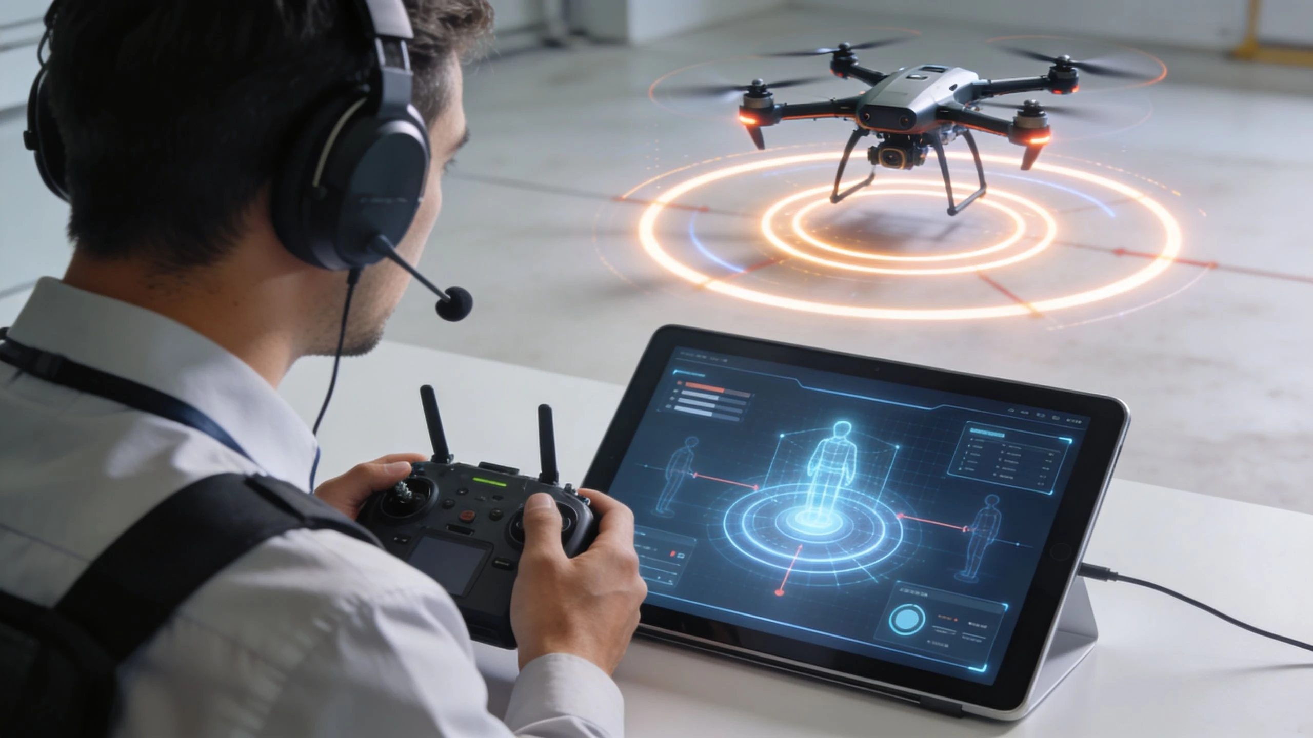 Recurrent Training for Pilots: Master Drone Operations →
 Crash Data Group: Drone Pilot Incident Guide →
 The Commercial Drone Alliance: Your Pilot's Guide →
 Air Data Computer: The Drone Pilot's Essential Guide →
 Reliable Jet Maintenance: Drone Fleet Guide →
 Best Software for Drone Operations in 2026 →
 Mastering Drone Services Pricing: 2026 Guide →
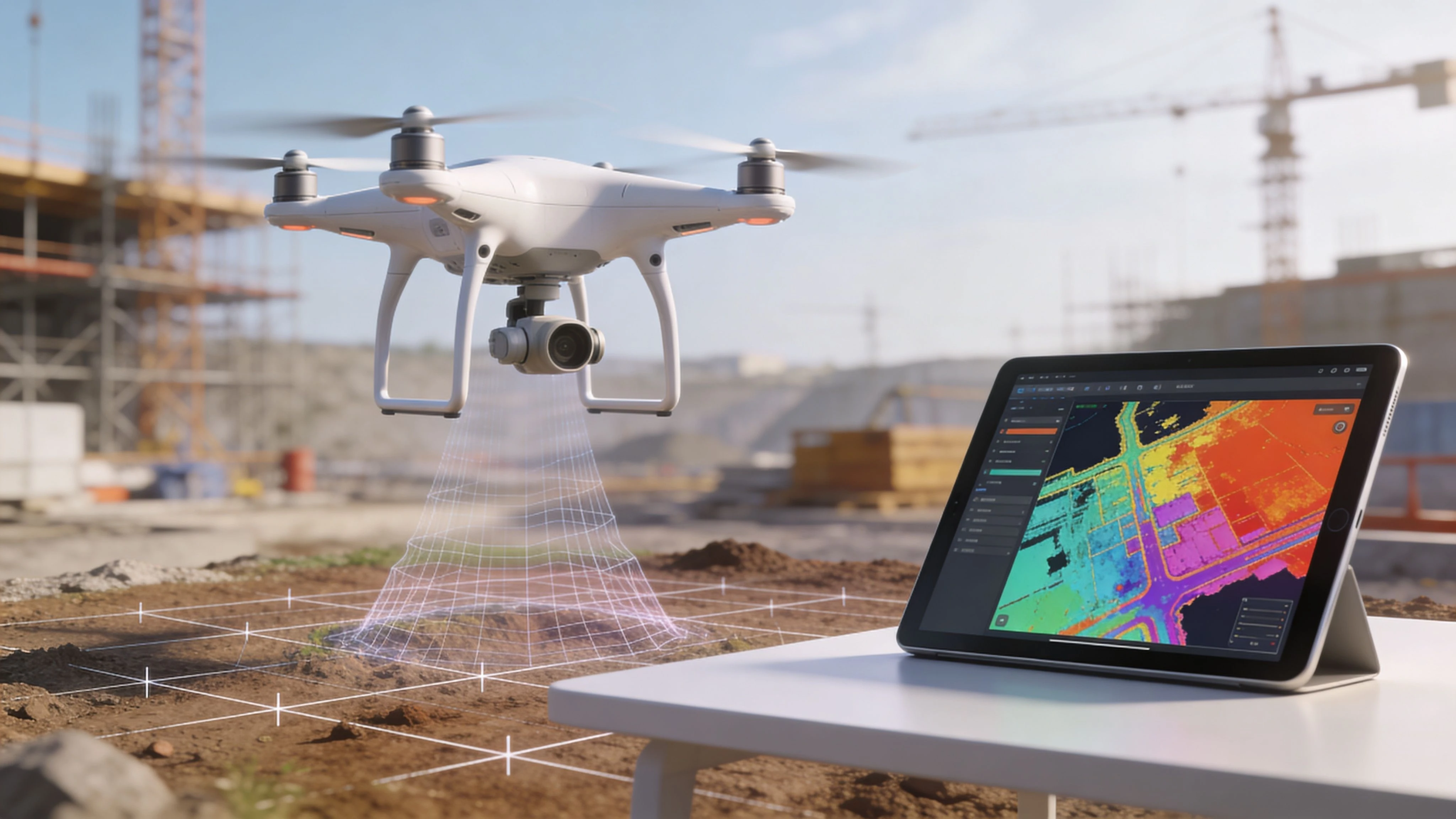 Drone Deploy App: Master Features & Alternatives →
 DJI Phantom 3 Adv: 2026 Guide & Pro Workflow →