Air Data Computer: The Drone Pilot's Essential Guide
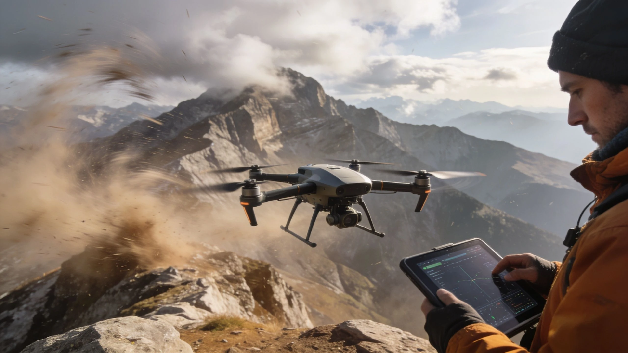
You’re on site. The drone is assembled, the batteries are warm, and the mission looks straightforward on the map. Then the environment reveals its challenges. Wind spills over a ridge line, the temperature drops, and the aircraft starts working harder than you expected.
That’s the moment many pilots learn an uncomfortable lesson. GPS tells you where you are. It doesn’t tell you what the air is doing to your aircraft. For professional operations, that missing layer matters. It affects control feel, stability, performance margins, image consistency, and the quality of the data you deliver to clients.
An air data computer is the system that turns the atmosphere from a hidden variable into usable flight information. In crewed aviation, that role has been central for decades. In professional drone work, it’s becoming just as important.
Why Your Drone Needs More Than Just GPS
A mapping pilot launching in flat farmland can often get away with thinking in terms of route, battery, and satellite lock. A pilot working a quarry, a mountain road, or a coastal inspection can’t. The aircraft may still know its position precisely, but position alone won’t tell it how much lift it can generate, how fast it’s moving through the air, or whether the changing temperature is pushing performance away from the plan.
That’s where the air data computer earns its place. It takes pressure and temperature inputs and computes the flight values your autopilot and your own judgement need, such as airspeed and altitude referenced to the surrounding atmosphere. Without that layer, a drone can look stable in telemetry while subtly drifting into a less efficient, less predictable part of its flight envelope.
A long aviation lineage
This isn’t new technology borrowed casually from manned aircraft. The first air data computer was developed in the early 1950s, centralizing calculations such as airspeed and altitude, and early digital systems in the 1960s reached mean time between failures of over 1000 hours, which was five times the required reliability for flight operations according to the air data computer history summary.
That history matters because it shows what the system was built to do. It was designed to reduce ambiguity.
Why professional operators care
For drone pilots, the practical value usually shows up in three places:
- Control quality: The flight controller can make better decisions when it knows what the airframe is experiencing, not just where it sits over the ground.
- Mission consistency: Survey, inspection, and repeatable media work all benefit when the aircraft responds consistently despite changes in weather and elevation.
- Safety margin: When conditions shift mid-flight, air data gives you earlier, clearer clues than GPS alone.
Practical rule: GPS is for navigation. Air data is for understanding aircraft performance.
From Raw Data to True Flight Intelligence
An air data computer works like a sensory nervous system for the aircraft. The sensors feel the environment. The computer interprets it. The autopilot receives something useful instead of a pile of raw readings.
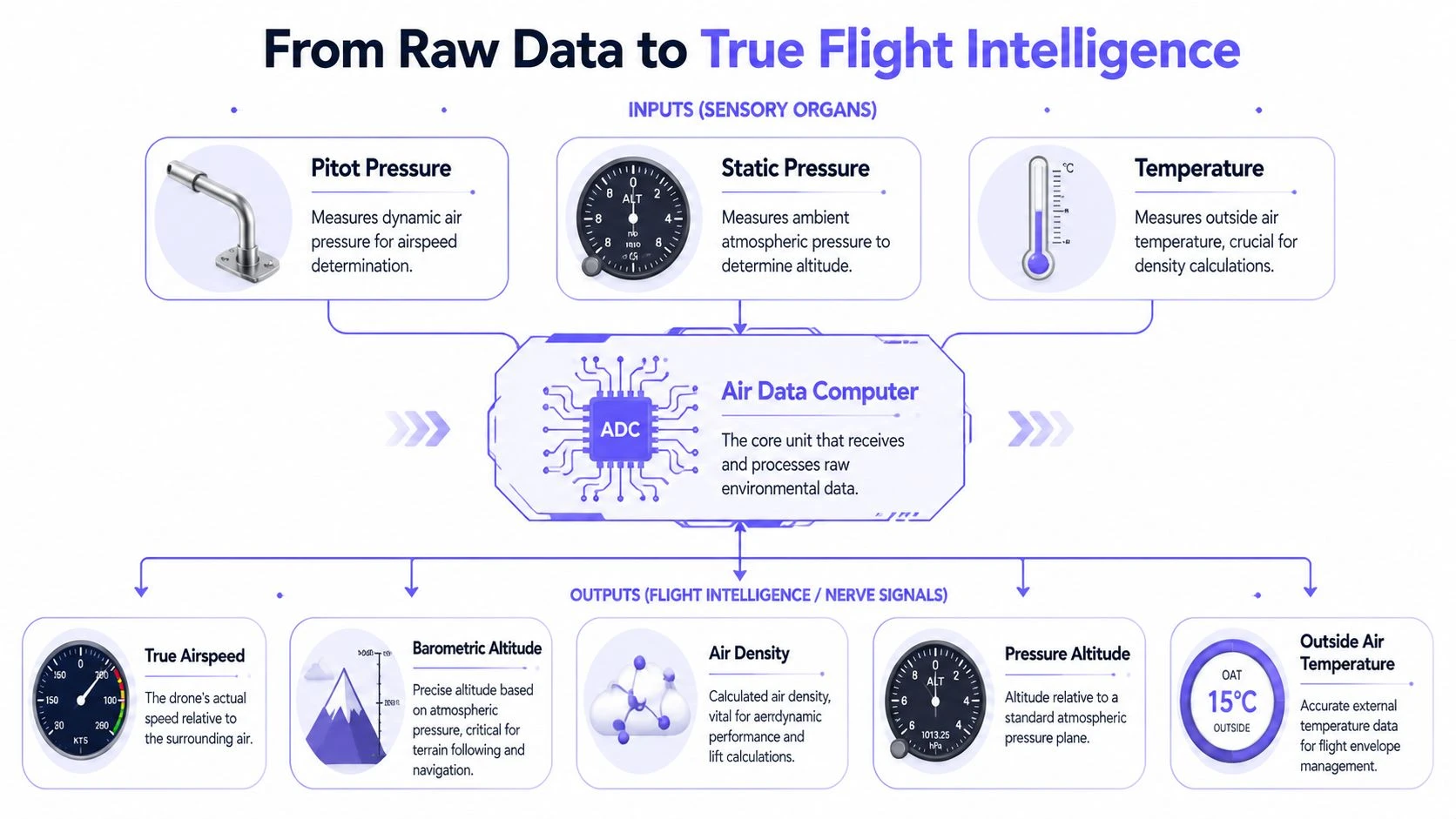
The three main inputs
Most air data systems begin with a small set of physical measurements.
| Input | What it measures | Why it matters to a drone |
|---|---|---|
| Pitot pressure | Pressure created by the aircraft moving through the air | Helps determine airspeed |
| Static pressure | Ambient atmospheric pressure | Supports altitude-related calculations |
| Temperature | Outside air temperature | Affects air density and performance |
Those inputs are simple in principle, but the useful part comes from combining them correctly. A pitot tube on its own doesn’t give you operational awareness. A temperature probe on its own doesn’t help your autopilot much either. The air data computer is the piece that fuses them into something the aircraft can act on.
What the ADC actually computes
The outputs are where pilots usually stop thinking of the ADC as “just another sensor.”
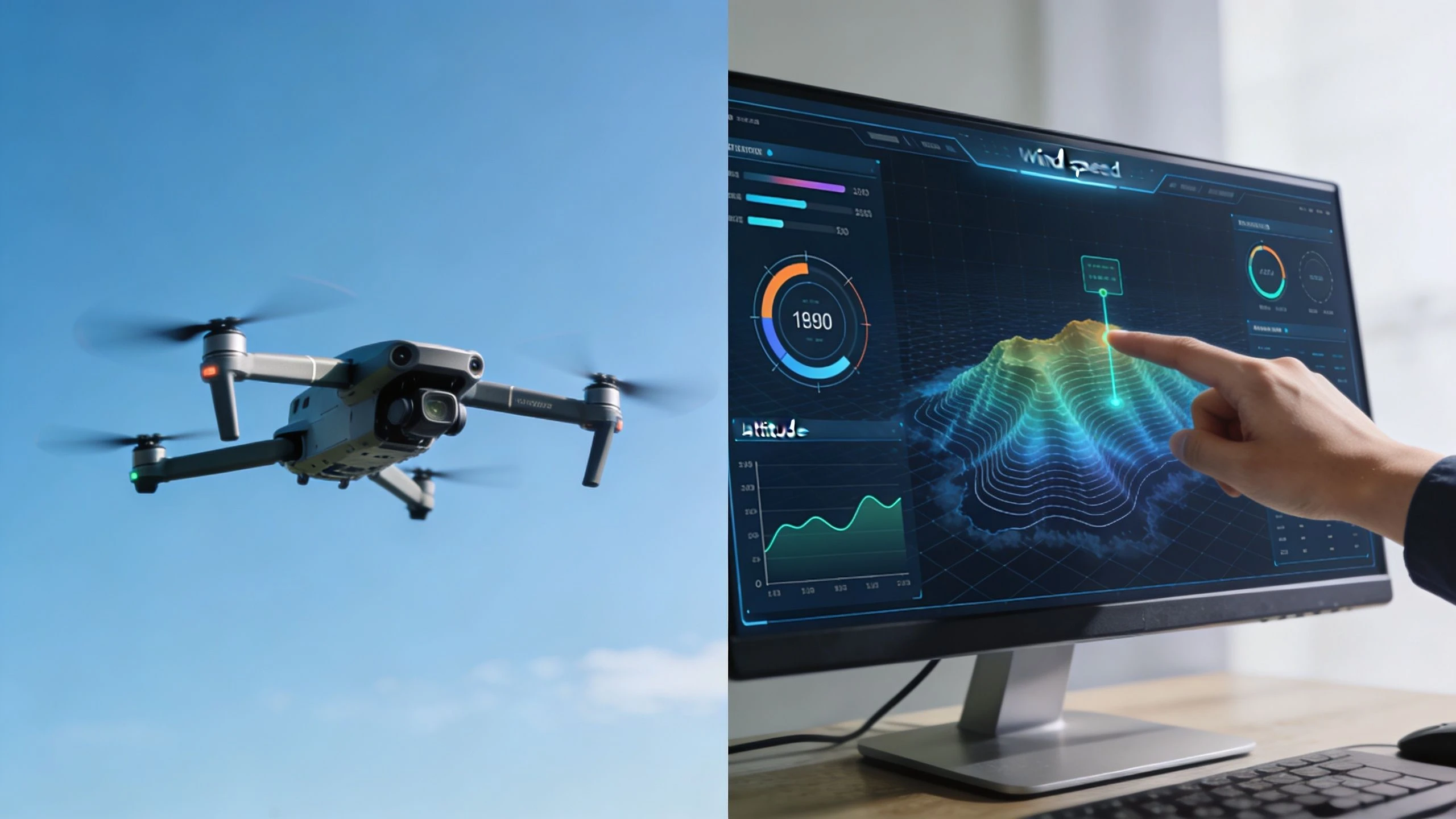
A modern UAV-focused unit such as the Inertial Labs device is built for low size, weight, and power, weighing 130 grams and using 0.35W, while also computing True Angle of Attack, air density, and wind speed. Its data can correct for up to 15% of true airspeed errors in uncompensated systems, according to the Inertial Labs ADC datasheet.
That one fact explains why air data matters so much in the field. If your aircraft only “thinks” in ground speed and basic altitude, it can misread what the atmosphere is doing to performance.
A drone flying into a headwind can show low ground progress while still moving efficiently through the air. The same drone turning downwind can look fast on the map while nearing a riskier aerodynamic state than the pilot realizes.
IAS, TAS, and the confusion pilots often have
Many pilots understand speed in terms of what they see on the map. That’s useful for mission timing, but it’s incomplete.
- Indicated airspeed is the speed suggested by the pressure system.
- True airspeed is the aircraft’s actual speed relative to the surrounding air.
- Ground speed is how fast the aircraft moves over the Earth.
These are not interchangeable. If you inspect a structure near strong wind gradients, ground speed can change sharply with little warning about aerodynamic margin. An air data computer helps separate navigation speed from actual flight condition.
Why density matters more than many pilots expect
Air density changes with temperature and pressure. When density changes, the aircraft’s aerodynamic behavior changes too. Lift, thrust response, and climb behavior all shift.
That’s one reason professional operators who care about repeatable results also care about disciplined logging and sensor fusion. If you want a deeper view of how aircraft and mission data come together, this guide to flight data acquisition for drone operations is a useful companion.
ADC Applications in Professional Drone Operations
The easiest way to understand the air data computer is to watch what it changes in real jobs. Not theory. Field work.
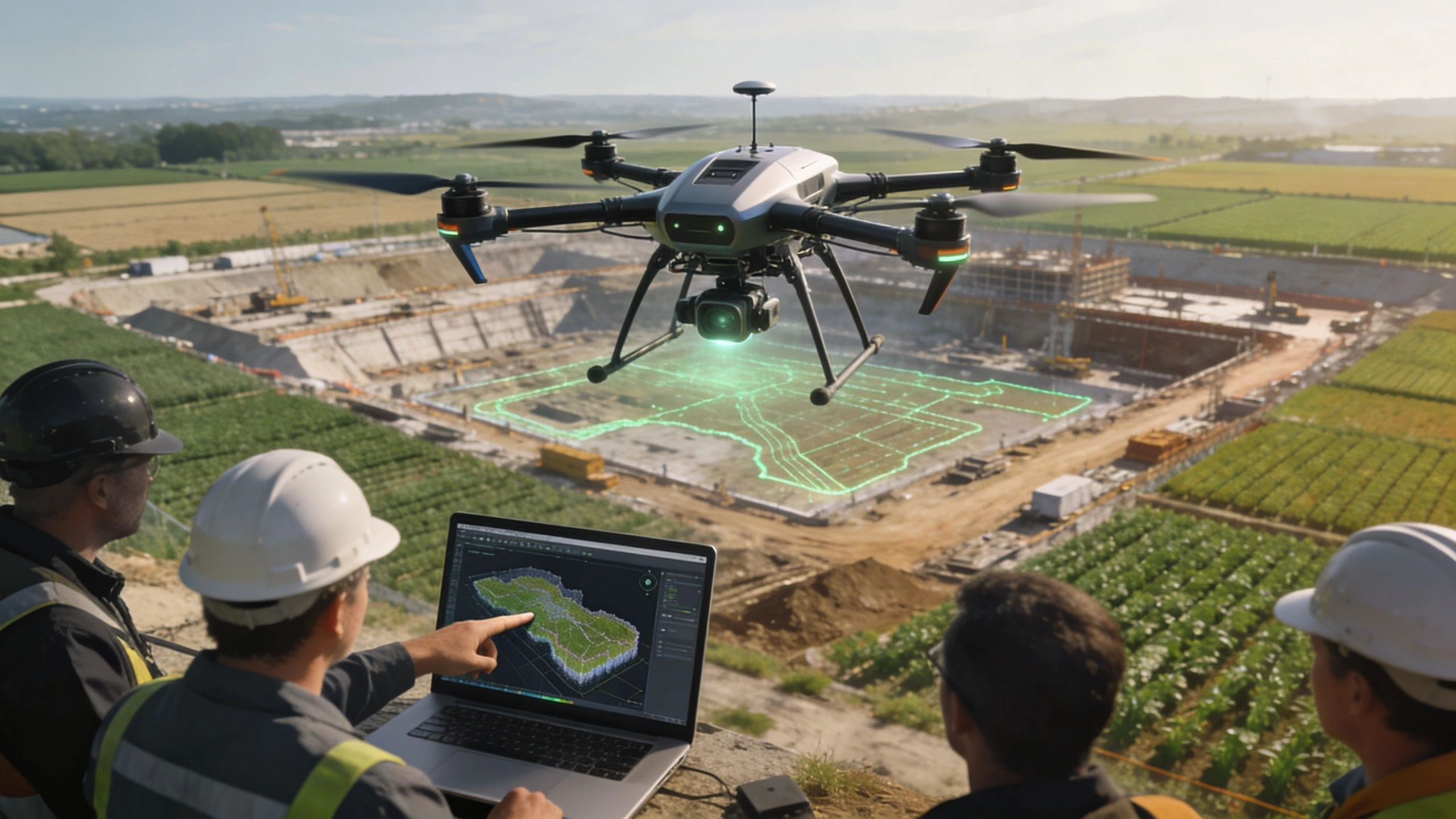
Survey and mapping missions
A survey team flies the same stockpile route in the morning and again later in the day. The GPS path matches. The wind and temperature don’t. If the aircraft only follows position and groundspeed logic, image capture may still complete, but overlap consistency and platform efficiency can drift because the drone is moving through a different airmass than before.
With air data in the loop, the aircraft can hold a more meaningful aerodynamic picture of the mission. That helps when you need more consistent photo spacing, steadier attitude behavior, and cleaner repeatability across changing conditions.
Inspection work near assets
Inspection pilots often work where airflow is messy. Turbines, rooftops, bridge structures, towers, and transmission corridors all create local effects that don’t show up cleanly in simple pre-flight assumptions.
In those environments, airspeed and wind awareness support tighter control decisions. The aircraft can distinguish between “I’m not moving over the ground” and “I’m loading the airframe heavily.” For pilots doing building and roof assessments, this broader operational context sits alongside planning discipline, client communication, and safe stand-off distances. That’s also why resources on safer, more efficient property assessments are useful. They help connect aircraft capability with actual field practice.
Early warning value
In crewed aviation, air data isn’t just about performance. It also supports hazard detection. An analysis of 46 engine power-loss events in storms found that total air temperature anomalies processed by the ADC appeared in 76% of cases, often about 5 minutes before the incident, according to this air data computer market overview.
A professional drone operator shouldn’t read that as “my aircraft has the same risk profile as a transport aircraft.” The lesson is different. It shows that air data can reveal an abnormal atmospheric condition before the visible outcome becomes obvious.
When telemetry starts looking strange, treat it as operational information, not nuisance noise.
BVLOS and autonomous operations
The farther the aircraft gets from you, the less you can rely on visual cues and intuition. That’s why ADC capability matters so much for advanced operations. Beyond visual line of sight work depends on the aircraft understanding its environment continuously and correcting for changing conditions without the pilot having to infer everything from a map display.
For a simple media sortie, a missing layer of atmospheric understanding may be an annoyance. For a long corridor inspection or remote asset patrol, it can become a mission-planning weakness.
Integrating ADC Data Into Your Digital Workflow
A good air data computer doesn’t create value just by existing onboard. It creates value when its outputs become part of how the aircraft flies, how the mission gets logged, and how the team reviews performance afterward.
The flight controller needs a single trusted picture
Modern autopilots work best when they receive one coherent interpretation of atmospheric conditions. The air data computer acts as that interpreter. Instead of handing the controller isolated pressure and temperature values, it provides derived values the control laws can use directly.
That matters because raw measurements can be technically correct but operationally incomplete. A controller that understands barometric altitude, airspeed-related behavior, and atmospheric change can hold steadier performance than one leaning mostly on inertial and satellite inputs.
Why altitude quality matters for shared airspace
This becomes even more important as drone operations move toward denser airspace coordination. In commercial aviation, RVSM standards require altitude accuracy within ±65 ft at 40,000 ft, and high-end ADCs achieve that with Static Source Error Correction, or SSEC, according to Honeywell’s air data computer overview.
Professional drone pilots don’t need to copy the airliner environment to learn from it. The takeaway is straightforward. Trusted altitude data is a deconfliction tool. In future U-space and UTM-style environments, machine-to-machine safety will depend on altitude data that is corrected, consistent, and defensible.
What this changes on the ground
Once air data becomes part of your records, post-flight review gets much more useful. You’re no longer limited to a route trace and battery percentage. You can examine whether the aircraft worked harder than expected in one sector, whether a climb was aerodynamically expensive, or whether unusual wind conditions explain a variation in output quality.
That has direct consequences for:
- Flight planning: Historical performance becomes more relevant when you compare missions flown in similar atmospheric conditions.
- Compliance records: Your logs become more than proof of location. They become evidence of how the aircraft was operated.
- Team training: Pilots can review decision points using aerodynamic context, not just screenshots from a map.
Turning data streams into operational decisions
The challenge isn’t collecting more numbers. It’s deciding which ones become part of routine workflow.
A useful rule is to ask three questions after each professional mission:
- Did the aircraft’s atmospheric environment match the pre-flight assumption?
- Did the air data suggest unusual workload or degraded efficiency at any point?
- Should that information change the next mission plan on the same site?
If your operation is maturing from ad hoc telemetry checks into a more structured data practice, this article on data integration best practices for drone teams is worth reading.
Better workflow doesn’t come from more dashboards. It comes from using the right data to make the next flight less uncertain.
Choosing and Maintaining Your Air Data System
Most ADC content is heavy on specifications and light on field reality. That leaves many solo operators and small teams to figure out practical reliability on their own. NASA-linked background material reflects that gap, noting that field operators need more useful guidance on failure modes and diagnostics in everyday operations, as described in this discussion of practical ADC maintenance needs.
What to look for when choosing a system
Selection starts with mission type. A fixed-wing survey platform operating in variable terrain needs a different air data setup from a multirotor doing short urban inspections. Even so, a few questions apply to both:
- Can the system integrate cleanly with your autopilot? Good data that never gets used properly isn’t helping you.
- Is the hardware appropriate for your aircraft’s payload and power limits? SWaP still matters in real operations.
- Can you access and review the outputs in a way your team understands? If the data stays buried in engineering menus, it won’t improve decisions.
- Does the installation position make sense aerodynamically? Probe placement can matter as much as the sensor itself.
Common field checks before launch
Pilots often look at batteries, props, and firmware, then forget the air data path. That’s a mistake. Pressure-based systems are only as good as the path between the air and the sensor.
Run these checks before flight:
- Inspect openings: Look for dirt, insects, moisture, tape residue, and transport damage around pitot or static ports.
- Check mounting security: A slightly shifted probe can create misleading readings even when the hardware still powers up normally.
- Compare telemetry sanity: If weather and site conditions look calm but the aircraft reports odd values on the ground, stop and investigate.
- Review recent handling: Hard cases, rushed loading, and field repairs can all create subtle line or connector issues.
Failure clues pilots should take seriously
You don’t need a lab to notice that something is wrong. You do need a habit of comparing readings against reality.
| Symptom | What it may suggest | Operational risk |
|---|---|---|
| Airspeed looks wrong for the maneuver | Pitot blockage, plumbing issue, or bad sensor interpretation | Poor control logic and misleading performance awareness |
| Altitude behavior seems inconsistent | Static pressure problem or installation issue | Unreliable hold performance and compliance concerns |
| Telemetry changes abruptly after takeoff | Loose connection, moisture, vibration, or damaged probe | Reduced confidence in the whole sensor chain |
For teams building stronger validation habits around software and avionics behavior, disciplined test thinking matters too. A good cross-discipline reference is this technical leader's guide to SQA, especially if your operation customizes workflows, integrations, or automated checks around flight data.
Don’t troubleshoot the number first. Troubleshoot the sensing path, the installation, and whether the reading matches the aircraft’s actual behavior.
The Future of Flight is Data Driven
The air data computer started as a way to centralize flight calculations in the early jet age. For professional drone work, it now serves a broader purpose. It helps the aircraft understand the atmosphere it flies through and helps the operator understand the mission afterward.
That changes how you think about the aircraft. It’s no longer just a camera with propellers and a map position. It’s an aerodynamic system making constant tradeoffs between lift, drag, energy, and control authority. The air data computer is what makes those tradeoffs visible.
Where the role grows next
The direction is clear even without guessing at hard numbers. Air data systems are getting smaller, more integrated, and more useful to autonomy stacks. As operators push into longer routes, denser airspace, and more automated mission logic, atmospheric awareness becomes less of a premium feature and more of a baseline requirement.
That shift also connects naturally with machine-assisted operations. AI systems can only make good operational suggestions if the input data reflects real aircraft conditions. If that topic is on your radar, Dronedesk’s perspective on AI in drone operations is a useful next read.
The practical takeaway
The professional advantage isn’t just owning better hardware. It’s understanding what the hardware is telling you and turning that into repeatable decisions.
Pilots who use air data well tend to fly with fewer assumptions. They spot mismatches between plan and reality earlier. They build cleaner logs. They produce more defensible results. In a market where clients expect reliability and regulators expect discipline, that matters.
Dronedesk helps professional operators turn flight activity into a structured, auditable workflow. If you want better planning, logging, team coordination, and compliance support around your drone operations, take a look at Dronedesk.
 Drone Regulations Checklist for Commercial Flights →
 Drone Flying Laws: A Practical Guide for Operators →
 CAA UAV Regulations Explained for UK Operators →
 UK SORA Explained for Drone Operators →
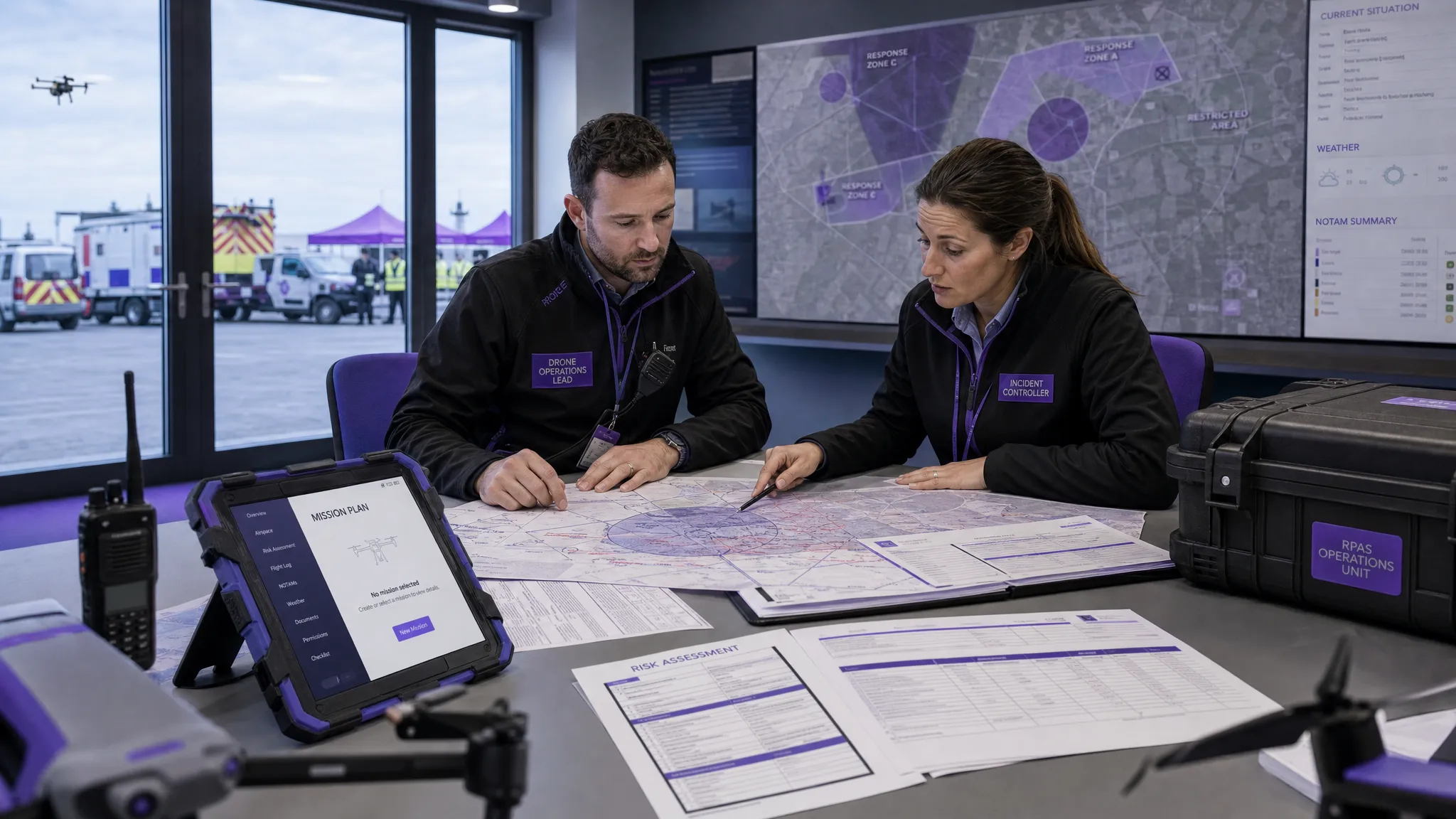 AUS Drone Laws Explained for Commercial Operators →
 Drone Flying Rules Explained for Business Use →
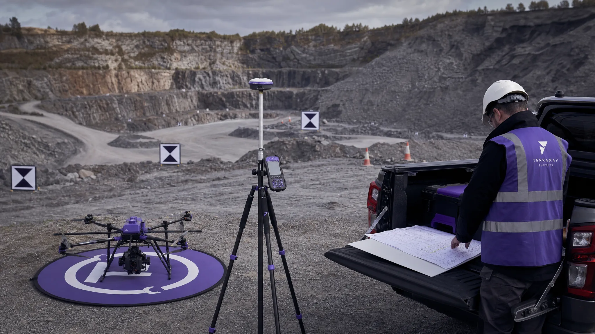 How to Choose an Aerial Survey Drone for Accurate Data →
 What Makes a Great Drone Operator in 2026? →
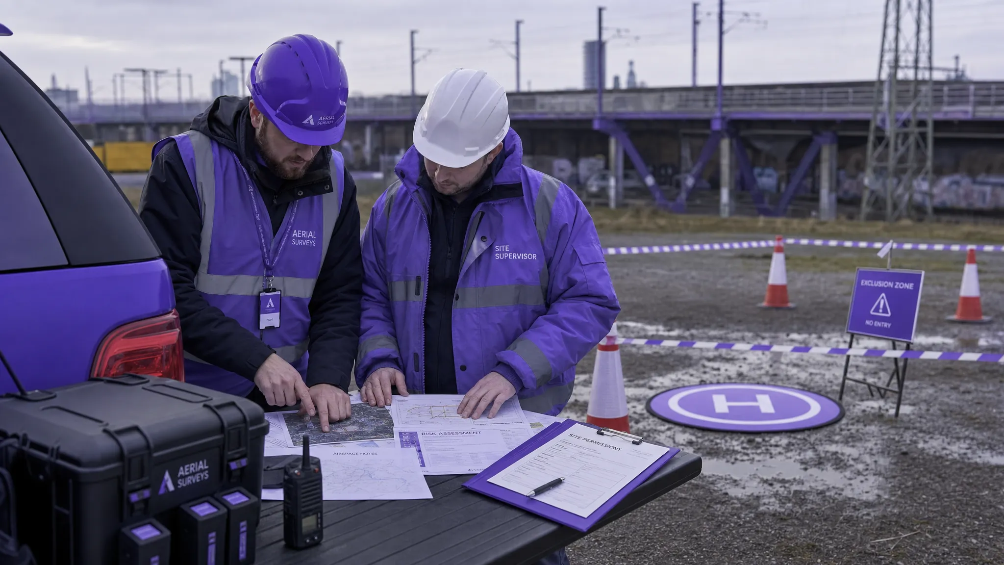 Drone Rules Every Commercial Operator Should Know →
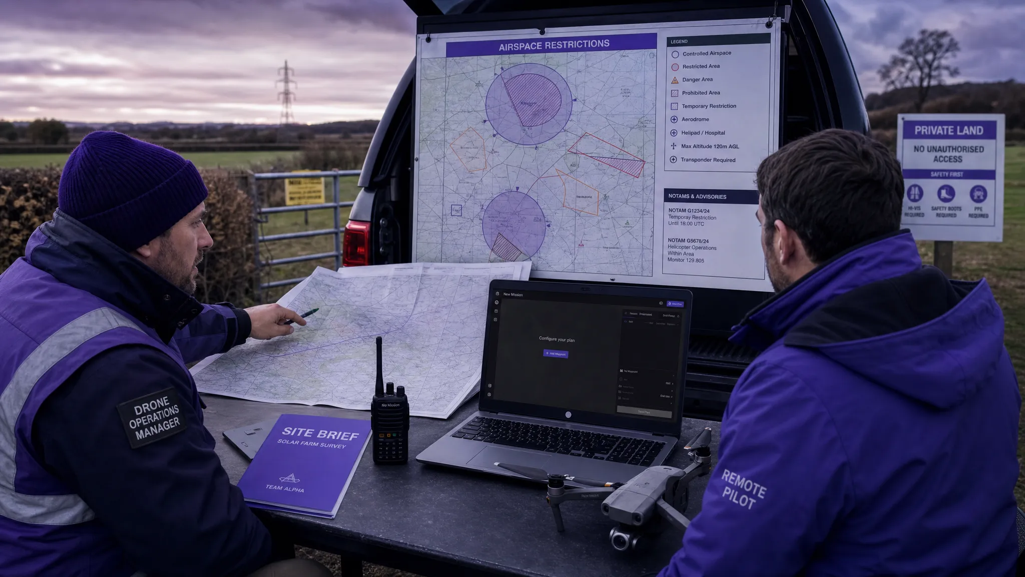 How to Use a Drone Flight Restrictions Map Safely →