Drone Operations Transforming Land Surveying - Key Applications 2025
Taking Off: How Drones Redefined Land Surveying
Drone operations are transforming land surveying, offering faster, safer, and more efficient data acquisition. This listicle explores eight key ways drones are revolutionizing the field. Discover how photogrammetry, LiDAR, RTK, multi-spectral imaging, automated flight planning, PPK, GCP optimization, and volumetric analysis are impacting drone operations transforming land surveying. Learn about the benefits and challenges of each technique, whether you're a seasoned professional or new to drone surveying.
1. Photogrammetry-Based Surveying
Photogrammetry-based surveying is revolutionizing the land surveying industry, offering a faster, more efficient, and cost-effective alternative to traditional methods. This comprehensive methodology uses overlapping aerial photographs captured by drones to create detailed 3D models, maps, and precise measurements of terrain. Drone operations transforming land surveying are largely driven by the advancements and accessibility of this technique. Essentially, it involves capturing hundreds of high-resolution images from various angles and altitudes, then using specialized software to process these images into accurate surveying products like orthomosaics, digital elevation models (DEMs), and point clouds. Learn more about Photogrammetry-Based Surveying
The power of photogrammetry lies in its ability to transform 2D images into a rich 3D representation of the surveyed area. This is achieved through the principle of stereoscopic vision, where the software analyzes the overlapping portions of the images to determine the three-dimensional coordinates of each point on the ground. This process generates highly detailed and accurate data, allowing surveyors to perform a wide range of tasks, from volume calculations and topographic mapping to creating contour lines and generating cross-sections.
This approach boasts several key features contributing to its effectiveness. These include high-resolution imagery capture with substantial overlap ratios (typically 60-80%), integration of Ground Control Points (GCPs) for enhanced accuracy, automated flight path planning and execution, real-time image quality assessment, and the capability for both multi-spectral and RGB imaging. When properly executed, photogrammetry can achieve centimeter-level accuracy, rivaling traditional surveying methods.
The benefits of photogrammetry-based surveying are numerous. It is significantly more cost-effective and allows for rapid data collection over large areas compared to traditional methods, which often require labor-intensive fieldwork. It provides crucial visual context alongside accurate measurements, making it easier to interpret and analyze the data. Furthermore, it's a non-invasive method, ensuring safety when surveying hazardous or difficult-to-access terrain. The highly detailed outputs are suitable for various applications, from construction and mining to agriculture and disaster response.
However, there are also limitations to consider. Operations are weather dependent, and significant post-processing time is required to stitch together the images and generate the 3D models. The resulting file sizes can be quite large, requiring substantial storage capacity. Accuracy can decrease without proper GCP placement, and the technique's effectiveness is limited in densely vegetated areas where the ground is obscured.
Several companies have successfully implemented photogrammetry-based surveying with impressive results. Kespry, for instance, has demonstrated how mining companies can reduce survey time from weeks to hours by using drones for volume calculations. DroneDeploy has streamlined agricultural field mapping for precision farming, enabling farmers to optimize crop management. Propeller Aero facilitates construction site monitoring and earthwork calculations, while Pix4D has played a vital role in disaster response mapping in earthquake-affected areas.
To achieve optimal results with photogrammetry-based surveying, consider these practical tips: maintain a consistent flight altitude for a uniform Ground Sampling Distance (GSD), ensure sufficient image overlap (75-85% forward, 60-75% side), deploy GCPs strategically across the survey area, conduct flights during optimal lighting conditions (avoiding harsh shadows), and validate results with known reference measurements.
The infographic below visualizes the recommended overlap percentages and achievable horizontal accuracy when employing photogrammetry-based surveying.

This data chart clearly indicates the importance of maintaining proper overlap percentages (75-85% forward and 60-75% side) to achieve high accuracy (1-3 cm). This level of detail is crucial for various surveying applications, enabling precise measurements and detailed 3D models.
Pioneers like Pix4D, a Swiss photogrammetry software company, DroneDeploy, a cloud-based mapping platform, Agisoft Metashape, professional photogrammetry software, and Kespry, an industrial drone analytics company, have played a crucial role in popularizing and advancing this transformative technology. Photogrammetry-based surveying stands as a testament to how drone operations are transforming land surveying, offering unprecedented efficiency, accuracy, and accessibility in capturing and analyzing geospatial data.
2. LiDAR-Equipped Drone Surveying
LiDAR-equipped drone surveying represents a significant advancement in land surveying, offering unprecedented speed, accuracy, and detail. This cutting-edge methodology leverages Light Detection and Ranging (LiDAR) technology, where a sensor mounted on a drone emits rapid pulses of laser light towards the ground. By precisely measuring the time it takes for each pulse to return to the sensor, the system calculates the distance to the target. Millions of these individual measurements create a dense "point cloud," a highly accurate 3D representation of the surveyed area. This point cloud data provides precise elevation information, creating a detailed digital terrain model (DTM) or digital surface model (DSM), depending on the processing applied. Drone operations transforming land surveying are significantly impacted by this ability to quickly generate accurate 3D models, especially in challenging environments.

LiDAR's unique strength lies in its ability to penetrate vegetation. Unlike traditional photogrammetry, which struggles to see through dense foliage, LiDAR pulses can reach the ground even in heavily forested areas. This capability makes LiDAR-equipped drone surveying invaluable for forestry management, allowing for accurate measurements of tree height, canopy density, and biomass volume. Furthermore, this penetration capability enables the creation of accurate ground models even in areas obscured by vegetation, significantly improving the accuracy of topographic surveys and infrastructure mapping projects.
The integration of Real-Time Kinematic (RTK) GPS and Inertial Measurement Units (IMU) with LiDAR systems further enhances accuracy. RTK GPS provides centimeter-level positioning data for the drone, while the IMU precisely tracks its orientation and movement. This combination ensures the precise georeferencing of every point in the cloud, resulting in highly accurate and reliable 3D models. Many systems also utilize multiple return pulse analysis. This means the sensor can record multiple returns from a single laser pulse, allowing for a better understanding of the vertical structure of the surveyed area, such as distinguishing between the ground, understory vegetation, and canopy. Often, LiDAR systems are integrated with RGB cameras, allowing the point cloud data to be colorized, providing a more visually rich and informative final product.
LiDAR-equipped drone surveying finds applications in various fields. YellowScan, a specialized drone LiDAR manufacturer, showcases its effectiveness in forestry applications, precisely measuring tree height and biomass. Riegl, an Austrian LiDAR technology leader, uses its VUX-1LR sensor for corridor mapping, providing highly accurate data for power line and pipeline inspections. Phoenix LiDAR Systems offers turnkey drone LiDAR solutions for archaeological site documentation, creating detailed 3D models of ancient ruins and landscapes. Velodyne Lidar’s Puck sensors are used for mining volume calculations, enabling accurate assessment of material stockpiles and quarry progress. These examples highlight the versatility and impact of LiDAR drone surveying across various sectors.
While LiDAR offers exceptional capabilities, it's important to consider its limitations. The higher equipment cost is a significant factor compared to other drone surveying methods. The weight of the LiDAR sensor also impacts flight time, often limiting missions to shorter durations. Specialized operator training is necessary to effectively operate the equipment and process the complex data. Furthermore, LiDAR performance can be affected by weather conditions like rain, fog, and snow.
To optimize LiDAR drone surveying operations, consider these tips:
- Optimize Flight Speed: Balance coverage area with desired point density. Slower flights generate denser point clouds but reduce the area covered per flight.
- Sensor Calibration: Calibrate the LiDAR sensor and IMU before each mission to ensure optimal accuracy.
- Flight Line Overlap: Plan overlapping flight lines to guarantee complete coverage and facilitate data processing.
- Atmospheric Conditions: Consider atmospheric conditions like humidity and air pressure as these can affect laser performance.
- Accuracy Validation: Validate point cloud accuracy using known elevation benchmarks or ground control points (GCPs).
LiDAR-equipped drone surveying has earned its place as a transformative technology in land surveying. Its ability to rapidly acquire highly accurate and detailed 3D data, even in challenging environments, makes it an invaluable tool for professionals across various industries. While the higher costs and technical requirements should be considered, the benefits of superior accuracy, vegetation penetration, and rapid data acquisition often outweigh the drawbacks, particularly for projects demanding the highest level of detail and precision.
3. Real-Time Kinematic (RTK) Precision Surveying
Real-Time Kinematic (RTK) precision surveying represents a significant advancement in land surveying, transforming traditional workflows and enabling drone operations to achieve centimeter-level accuracy. This high-precision methodology utilizes RTK-enabled drones equipped with integrated GNSS receivers to capture precise positional data in real-time. By leveraging a connection to a base station or a network of reference stations (NTRIP), the drone receives instant coordinate corrections during flight, effectively eliminating the need for extensive ground control point (GCP) deployment. This capability revolutionizes efficiency in precision surveying applications, drastically reducing fieldwork time and delivering immediate, survey-grade results.

RTK works by utilizing carrier-phase measurements from GNSS satellites. Both the base station and the drone receiver collect these measurements. The base station, with its known fixed location, compares its received signals with the known satellite positions and calculates corrections for atmospheric errors and other signal discrepancies. These corrections are then transmitted in real-time to the drone's receiver, which applies them to its own GNSS data. This process allows the drone to determine its position with centimeter-level accuracy. This real-time correction eliminates the need for extensive post-processing, providing immediate access to highly accurate data.
The advantages of RTK in drone operations transforming land surveying are numerous. The immediate availability of survey-grade accuracy results significantly accelerates project timelines. The reduced requirement for ground control points translates to substantial time savings in field operations, particularly in challenging or inaccessible terrains. RTK ensures consistent accuracy across the entire survey area, minimizing errors and improving data reliability. Furthermore, the elimination of post-processing positioning corrections streamlines workflows and simplifies data management.
Several successful implementations of RTK drone surveying highlight its effectiveness. The DJI Phantom 4 RTK has been widely adopted for construction site surveying, consistently achieving 1cm accuracy. For large-scale mapping projects, the senseFly eBee X RTK provides efficient and precise data acquisition. The Trimble UX5 HP is favored for cadastral surveying applications, while the WingtraOne GEN II excels in mining operations and stockpile measurements. These examples demonstrate the versatility and power of RTK technology in diverse surveying scenarios.
While RTK offers substantial benefits, it’s crucial to be aware of its limitations. A reliable communication link to the base station or NTRIP network is essential for accurate real-time corrections. The equipment and operational costs associated with RTK systems can be higher than traditional surveying methods. The effective range of operation is limited by the distance from the RTK base station, and signal interference can pose challenges in certain environments. Furthermore, successful RTK implementation requires technical expertise for proper setup and operation.
To maximize the effectiveness of RTK drone surveying, consider these tips: establish the base station on a known survey monument to ensure accurate referencing. Maintain a clear line-of-sight communication between the base station and the drone throughout the flight. Monitor satellite visibility and Geometric Dilution of Precision (GDOP) values to ensure optimal signal quality. Continuously validate the RTK solution status during the flight to detect any potential issues. Whenever possible, use redundant communication methods to minimize the risk of data loss due to signal interruptions.
RTK precision surveying deserves its prominent place in the list of drone operations transforming land surveying due to its ability to deliver highly accurate data efficiently and cost-effectively in many scenarios. It empowers surveyors, engineers, and other professionals with a powerful tool for data acquisition, enabling informed decision-making and improved project outcomes. By understanding the features, benefits, limitations, and best practices associated with RTK, drone operators can leverage this technology to its fullest potential and unlock new possibilities in the world of land surveying. Companies like DJI, Trimble, senseFly, and WingtraOne have been instrumental in popularizing and advancing RTK technology within the drone industry, making it increasingly accessible and powerful for various applications.
4. Multi-Spectral and Hyperspectral Imaging
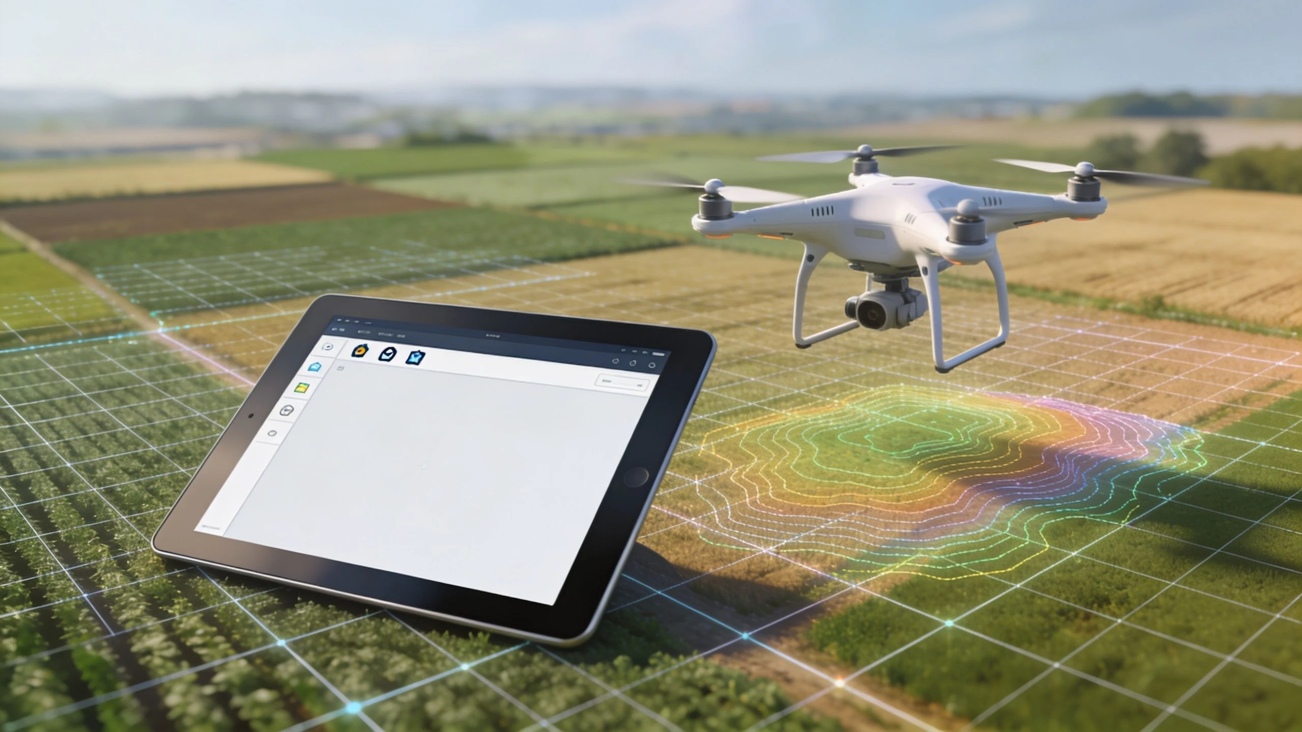
Drone operations are transforming land surveying, and one of the most significant advancements driving this change is the integration of multi-spectral and hyperspectral imaging. These cutting-edge technologies capture data across a wider range of the electromagnetic spectrum than traditional RGB cameras, enabling surveyors to gather significantly more information about the surveyed area. This makes drone operations not just faster and more efficient but also capable of delivering richer, more insightful data for various applications, cementing its place as a transformative force in modern land surveying.
Multi-spectral imaging typically captures data in a select number of discrete spectral bands (e.g., red, green, blue, near-infrared, red-edge), while hyperspectral imaging captures hundreds of contiguous, narrow bands across a wider portion of the spectrum. This finer spectral resolution provides an incredibly detailed spectral signature for every pixel in the image, allowing for precise identification and differentiation of materials based on their unique spectral reflectance properties. Think of it like upgrading from a standard definition television to an ultra-high-definition one – the level of detail and clarity is dramatically enhanced.
This capability opens doors to a whole new world of surveying possibilities, extending far beyond simple topographic mapping. For example, in agriculture, multi-spectral imaging allows farmers to calculate vegetation indices like Normalized Difference Vegetation Index (NDVI) and Normalized Difference Red Edge (NDRE). These indices provide insights into plant health, stress levels, and nutrient deficiencies, enabling targeted interventions for improved crop management and yield prediction. Hyperspectral imaging takes this even further, allowing for early detection of diseases and pests even before visible symptoms appear.
In environmental monitoring, these advanced imaging techniques can be used to assess water quality, identify different types of vegetation, and map soil composition. This information is crucial for understanding ecosystem health, tracking pollution, and managing natural resources. In infrastructure inspection, thermal infrared imaging, often included in multi-spectral sensors, allows for the detection of heat anomalies that can indicate structural weaknesses or equipment malfunctions in buildings, bridges, and power lines. This detailed information helps streamline maintenance efforts and prevent costly failures.
The implementation of multi-spectral and hyperspectral imaging in drone operations is revolutionizing various industries. Companies like MicaSense, with their RedEdge series of multi-spectral sensors, have pioneered precision agriculture monitoring. Parrot's Sequoia sensor has found success in vineyard health assessment, while Sentera's PHX system is used for crop scouting and field analysis. FLIR, a leader in thermal imaging technology, provides thermal cameras integrated with drones for infrastructure inspection and environmental monitoring. These examples highlight the diverse applications and the growing impact of these technologies in the field.
While the benefits are significant, incorporating multi-spectral and hyperspectral imaging into drone operations comes with challenges. The equipment costs for quality sensors are higher than traditional RGB cameras. Furthermore, the large data volumes generated require significant storage capacity and processing power. Data analysis also necessitates specialized knowledge and sophisticated software to extract meaningful insights. Optimal results are often weather-dependent, and radiometric calibration using reference panels is essential for accurate measurements.
To maximize the effectiveness of multi-spectral and hyperspectral imaging for drone operations transforming land surveying, consider the following tips:
- Calibrate sensors: Use calibrated reflectance panels before each flight to ensure accurate data collection.
- Optimal flight conditions: Conduct flights during clear skies and optimal solar conditions to minimize atmospheric interference.
- Plan for sun angle: Consider the sun's angle and position to avoid shadows and optimize illumination.
- Ground truthing: Validate spectral data with ground truth measurements to ensure accuracy and reliability.
- Appropriate indices: Use vegetation indices appropriate for the specific application and target vegetation.
Despite these challenges, the wealth of information obtained through multi-spectral and hyperspectral imaging far outweighs the complexities. By understanding the nuances of these technologies and implementing best practices, drone operators can unlock a new level of precision and insight in land surveying, ultimately leading to more informed decision-making and more efficient operations across diverse sectors.
5. Automated Flight Planning and Mission Execution
Drone operations are transforming land surveying, and one of the most impactful advancements is automated flight planning and mission execution. This systematic approach utilizes sophisticated software to meticulously plan flight paths, optimize coverage patterns, and execute missions with minimal human intervention, significantly enhancing the efficiency and accuracy of land surveying. This automation empowers drone operators to focus on data analysis and interpretation rather than manual flight control, ultimately delivering high-quality, repeatable results. This makes it a crucial component of modern drone surveying workflows, deserving of its place on this list of transformative technologies.
In essence, automated flight planning software allows users to define the survey area and desired parameters, such as ground sampling distance (GSD) and overlap. The software then automatically generates waypoints, optimizes the flight path for efficient coverage, and uploads the mission to the drone. Once initiated, the drone autonomously flies the pre-programmed mission, capturing data according to the specified settings. This reduces operator workload and the potential for human error, ensuring consistent data acquisition across multiple flights and projects. Furthermore, it enables scalable operations across various sites, regardless of terrain complexity, making it an invaluable tool for solo drone operators, small to medium drone teams, and large enterprise drone operations managers alike.
Automated flight planning software comes packed with a suite of powerful features designed to streamline and enhance surveying operations. Key features include:
- Automated waypoint generation and optimization: Define the survey area and the software automatically calculates the most efficient flight path and waypoint placement.
- Obstacle avoidance and terrain following: Using digital terrain models (DTMs) and sensor data, the drone can safely navigate complex terrain and avoid obstacles, ensuring data integrity and drone safety.
- Battery management and automatic return-to-home: Intelligent battery monitoring triggers automatic return-to-home procedures when battery levels reach a critical threshold, preventing crashes due to power loss.
- Real-time flight monitoring and telemetry: Operators can monitor critical flight parameters and data acquisition progress in real time, allowing for immediate intervention if necessary.
- Weather condition assessment and flight recommendations: Some advanced software integrates weather data to offer flight recommendations based on current and forecasted conditions.
- Integration with regulatory airspace databases: Ensuring compliance with airspace regulations is crucial. Some software packages integrate with airspace databases, providing real-time updates and alerts to prevent unauthorized flights.
The benefits of implementing automated flight planning are numerous and far-reaching:
- Consistent and repeatable survey results: Automated missions eliminate variability introduced by manual flight, resulting in highly consistent data quality.
- Reduced operator workload and human error: Freeing up operators from manual flight control allows them to focus on other critical tasks, such as data analysis and project management.
- Optimized flight efficiency and battery usage: Automated flight paths minimize flight time and maximize battery life, allowing for larger survey areas to be covered in a single flight.
- Enhanced safety through automated monitoring and obstacle avoidance: Automated features significantly enhance safety, reducing the risk of accidents caused by human error or unforeseen obstacles.
- Scalable operations across multiple sites: Automated missions can be easily replicated and deployed across numerous sites, streamlining large-scale mapping projects.
However, while powerful, automated flight planning does come with its limitations:
- Initial software setup complexity: Familiarizing oneself with the software and configuring initial settings can require a learning curve.
- Dependence on accurate digital terrain models: Terrain following relies on accurate DTMs; inaccuracies in the model can lead to flight safety issues.
- Limited adaptability to unexpected field conditions: While some software offers obstacle avoidance, unforeseen obstacles or rapid changes in weather conditions may require manual intervention.
- Requires backup manual control capabilities: Maintaining manual override capability is crucial in case of emergencies or unforeseen circumstances.
- Software licensing and update costs: Professional-grade flight planning software can incur significant licensing and update costs.
Examples of successful implementation include DroneDeploy's automated mapping missions for construction monitoring, Pix4Dcapture flight planning for archaeological surveys, Litchi waypoint missions for infrastructure inspection, and UgCS professional flight planning for large-scale mapping projects. These platforms demonstrate the versatility and power of automated flight planning across diverse industries.
Learn more about Automated Flight Planning and Mission Execution as AI continues to shape the future of drone operations.
For those looking to leverage the power of automated flight planning, here are some actionable tips:
- Verify flight plans with current airspace restrictions: Always double-check flight plans against current airspace regulations and obtain necessary permissions before flying.
- Test automated missions in safe areas before deployment: Conduct thorough testing in safe, open areas to ensure proper software functionality and flight path accuracy.
- Maintain manual override capability at all times: Be prepared to take manual control of the drone in case of emergencies or unexpected situations.
- Regular software updates for optimal performance: Keep your flight planning software updated to access the latest features, performance improvements, and bug fixes.
- Plan contingency procedures for communication loss: Develop procedures to manage communication loss scenarios, such as automatic return-to-home or emergency landing protocols.
By understanding the capabilities, limitations, and best practices of automated flight planning and mission execution, drone operators can leverage this powerful technology to significantly enhance the efficiency, safety, and accuracy of their land surveying operations.
6. Post-Processing Kinematic (PPK) Surveying
Post-Processing Kinematic (PPK) surveying represents a significant advancement in drone operations transforming land surveying, offering a powerful and flexible alternative to traditional surveying methods and even surpassing the capabilities of Real-Time Kinematic (RTK) in certain scenarios. This technique leverages the power of Global Navigation Satellite Systems (GNSS) to achieve centimeter-level accuracy, making it ideal for demanding surveying applications. Unlike RTK, which requires a constant real-time connection between the drone and a base station, PPK collects raw GNSS data during the flight and processes it afterwards using data from a base station to correct for positional errors. This post-processing approach unlocks a range of benefits, particularly in challenging environments.
PPK works by recording raw GNSS data from both the drone's receiver and a stationary base station receiver during the drone's flight. The base station, placed at a known surveyed location or with precisely known coordinates, logs its position throughout the mission. After the flight, specialized software combines the raw data from both receivers, using the precise base station data to calculate and correct for positional errors in the drone's data. This process considers factors like satellite clock drift, atmospheric interference, and multipath errors, resulting in a highly accurate georeferenced dataset. The sophisticated algorithms employed in PPK processing can model and mitigate these errors more effectively than real-time corrections, potentially leading to higher accuracy, especially in challenging environments.
The benefits of PPK are numerous, especially for drone operations transforming land surveying. Its primary advantage is the elimination of the need for a constant real-time data link between the drone and the base station. This significantly extends the operational range of the drone, allowing for surveys in remote areas or environments with obstructed line-of-sight, where maintaining a stable connection for RTK would be problematic. Furthermore, PPK often demonstrates better performance in areas with weak or intermittent GNSS signals, such as urban canyons or dense forests. This resilience to signal interruptions contributes to greater data reliability. From a cost perspective, PPK systems can be more affordable than their RTK counterparts, making them an attractive option for smaller surveying teams or those just beginning to integrate drone technology into their workflows.
Several examples illustrate the successful implementation of PPK in various drone surveying projects. Reach RS2 receivers are popular choices for integrating PPK capabilities into custom drone platforms. senseFly, a leading manufacturer of professional mapping drones, integrates PPK workflows into their eBee X series, enabling high-accuracy mapping for corridor mapping and other applications. WingtraOne, known for its vertical take-off and landing (VTOL) surveying drones, leverages PPK workflows for large-area mapping projects. For those looking for open-source solutions, RTKLIB provides a powerful and flexible platform for processing raw GNSS data and implementing custom PPK solutions.
While PPK offers many advantages, some considerations are essential. Unlike RTK, which provides real-time corrections, PPK requires post-processing time before results are available. This delay might not be suitable for time-sensitive applications. Setting up and managing the base station requires careful planning and execution, including ensuring accurate clock synchronization between the drone and base station receivers. Data management is also crucial, as loss of base station data can compromise the entire mission. Finally, while user-friendly PPK software is available, some level of expertise is needed to effectively process and validate the data.
To ensure successful PPK surveying operations, follow these actionable tips: First, ensure precise synchronization of the drone and base station clocks. This is critical for accurate post-processing calculations. Log raw GNSS data at appropriate intervals, balancing data volume with accuracy requirements. Whenever possible, position the base station on known survey points to improve the overall accuracy of the survey. Monitor satellite availability throughout the mission duration to ensure sufficient satellite coverage for reliable positioning. Finally, validate PPK solutions before finalizing the processing to ensure data integrity and accuracy.
PPK surveying is reshaping the landscape of land surveying, offering a compelling combination of accuracy, flexibility, and cost-effectiveness. By understanding the principles, benefits, and practical considerations of PPK, drone operators can unlock the full potential of this technology and leverage its power for a wide range of surveying applications, from large-scale mapping projects to detailed site surveys, ultimately contributing to more efficient and accurate land surveying practices.
7. Ground Control Point (GCP) Integration and Optimization
Ground Control Point (GCP) integration and optimization is a cornerstone of achieving survey-grade accuracy in drone operations transforming land surveying. This fundamental surveying methodology leverages strategically placed and precisely surveyed ground reference points to enhance the reliability and absolute accuracy of drone-based surveys. By incorporating GCPs, drone operations can bridge the gap between basic aerial imagery and highly precise geospatial data, making it an indispensable technique for professionals seeking reliable measurements and detailed 3D models. This approach is critical for drone operations seeking to truly transform land surveying, offering a cost-effective way to achieve high accuracy.
The process involves careful planning of GCP locations across the survey area, precise surveying of these points using methods like total stations or Real-Time Kinematic (RTK) GPS, and their subsequent integration into photogrammetric processing software. These precisely located points act as anchors, tying the drone's imagery to real-world coordinates. The software then uses these anchors during the bundle adjustment process, a complex algorithm that refines the camera positions and orientations, significantly improving the overall accuracy of the generated point cloud, orthomosaic, and digital terrain model.
The benefits of incorporating GCPs into drone operations for land surveying are substantial. Firstly, they significantly improve the absolute accuracy of the survey, often achieving centimeter-level precision. This level of accuracy is essential for applications requiring precise measurements, such as volumetric calculations, topographic surveys, and engineering design. Secondly, GCPs provide an independent means of validating the accuracy of the drone survey, ensuring the data's reliability. This independent validation is invaluable for quality control and builds confidence in the results. Thirdly, the method is cost-effective compared to other high-accuracy drone surveying techniques, like using RTK-enabled drones, making it accessible to a wider range of users. Finally, the scalability of GCP implementation allows its application to projects of varying sizes, from small construction sites to large-scale topographic surveys. Whether you're a solo drone operator mapping a small plot of land or an enterprise team surveying a vast infrastructure project, GCPs offer a flexible and powerful solution for enhancing accuracy. This adaptability makes GCP integration a transformative element in modern land surveying with drone operations.
However, there are some drawbacks to consider. The primary disadvantage is the requirement for ground access to place the GCPs, which can be challenging in inaccessible or hazardous terrain. Placing and surveying GCPs also adds time to the overall field operation, potentially impacting project timelines. Weather conditions can also affect the visibility of targets, and there’s always the risk of vandalism or accidental movement of targets, particularly in dynamic environments like construction sites. Finally, the manual identification of GCPs in photogrammetric processing software requires careful attention and can be time-consuming, although some automated solutions exist.
Despite these challenges, the benefits of GCP integration generally outweigh the drawbacks, particularly when high accuracy is paramount. Successfully implementing GCP workflows often relies on strategic planning and execution. For optimal results, distribute GCPs evenly across the survey area and, when possible, position them at varying elevations to capture the terrain’s complexity. Using high-contrast, weatherproof targets enhances their visibility in the drone imagery and minimizes the risk of misidentification. Surveying GCPs with higher precision than the required output accuracy ensures that the control points don't become a limiting factor. Finally, reserving some surveyed points as independent checkpoints allows for rigorous quality control and validation of the final survey data.
Several companies have popularized and streamlined GCP workflows, further contributing to the transformation of drone operations in land surveying. Propeller Aero, with its AeroPoints smart GCP system, offers a convenient and automated solution for GCP placement and measurement. PhotoModeler provides specialized targets optimized for high-contrast identification in photogrammetric software. Pix4D and Agisoft, with their respective software platforms, offer seamless GCP integration workflows, facilitating the processing and adjustment of drone data. Even simple, custom-surveyed monuments or temporary spray-painted targets can be highly effective for specific project needs, demonstrating the versatility of GCP integration. These advancements make high-accuracy drone surveying increasingly accessible and are pushing the boundaries of what's possible in fields like construction, agriculture, and environmental monitoring.
Examples of successful GCP integration include using AeroPoints for automated GCP placement on large construction sites, deploying PhotoModeler targets for high-contrast identification in complex terrain mapping, and utilizing custom surveyed monuments for long-term monitoring projects, such as tracking glacial movement or coastal erosion. Even in rapidly changing environments like construction sites, temporary spray-painted targets provide a cost-effective solution for enhancing accuracy in drone surveys. These diverse applications showcase the versatility and impact of GCP integration in transforming land surveying through drone operations.
8. Volumetric Analysis and Stockpile Management
Drone operations are transforming land surveying, and one of the most impactful applications is volumetric analysis and stockpile management. This specialized surveying methodology focuses on the accurate measurement and monitoring of material volumes, proving invaluable for industries like mining, construction, and aggregates. Instead of relying on time-consuming and potentially inaccurate manual surveys, drones equipped with high-resolution cameras capture aerial imagery which is then processed to create precise 3D models. This data is crucial for operational and financial decision-making, offering real-time insights into inventory levels and material movement.
This approach combines high-resolution 3D modeling with sophisticated software algorithms to calculate precise volumes, track inventory changes over time, and provide detailed reporting. The drone captures overlapping images of the stockpile or excavation site. Photogrammetry software then stitches these images together to create a highly detailed 3D surface model. From this model, automated volume calculations are performed, providing accurate measurements of the material. This process offers a significant advantage over traditional methods, which often involve manual measurements and estimations, leading to potential inaccuracies and inefficiencies.
The benefits of drone-based volumetric analysis are numerous. Rapid and accurate volume measurements are paramount, saving considerable time and resources compared to traditional surveying techniques. This efficiency translates to significant cost savings, reducing labor costs and minimizing downtime. Enhanced safety is another major advantage, as using drones minimizes the need for personnel on potentially hazardous stockpile sites or active construction zones. Moreover, the detailed documentation and change tracking provided by drone surveys offer valuable data for project management and regulatory compliance. Finally, integration with existing inventory management systems allows for seamless data flow, further optimizing operations and streamlining workflows. Learn more about Volumetric Analysis and Stockpile Management to see which drones are best suited for these tasks.
Successful implementation of drone-based volumetric analysis can be seen across various industries. Kespry, a leading provider of industrial drone analytics, has demonstrated that their mining stockpile management solutions can reduce survey time by up to 90%. DroneDeploy's earthwork calculations have become a staple in the construction industry, enabling accurate cut/fill analysis and optimizing earthmoving operations. Propeller Aero focuses on quarry and landfill volume monitoring, offering valuable insights into material depletion and airspace capacity. Similarly, 3D Robotics provides aggregate inventory management systems, enabling businesses to precisely track stock levels and optimize logistics. These examples demonstrate the tangible benefits of integrating drone technology into existing workflows.
However, it’s essential to be aware of the limitations and challenges. Accuracy is dependent on surface conditions, with optimal results achieved on smooth, stable surfaces. Loose or flowing materials can present challenges for accurate modeling. Weather conditions also play a significant role, as strong winds or heavy rain can impede drone operations and affect data quality. Ongoing monitoring is necessary for effective inventory management, and specialized software applications, while powerful, can involve initial investment costs.
For those looking to implement drone-based volumetric analysis, several key tips can ensure successful outcomes. Establish clear base planes for volume calculations to ensure consistent and accurate measurements. Conduct regular surveys for accurate change detection and track material movement effectively. Consider the material's angle of repose in calculations to account for natural settling and avoid underestimations. It's always good practice to validate the drone-derived results with known volume measurements, particularly during initial implementation, to ensure accuracy and build confidence in the system. Finally, account for equipment and debris in stockpile areas to avoid including these in volume calculations.
Volumetric analysis and stockpile management through drone operations represents a significant advancement in land surveying. By providing accurate, rapid, and safe data acquisition, this technology is transforming how industries manage resources and make informed decisions. While there are challenges to consider, the benefits in terms of cost savings, efficiency gains, and improved safety make it a compelling solution for a wide range of applications. Drone operations are indeed transforming land surveying, and volumetric analysis is at the forefront of this revolution.
Drone Surveying Strategies: Key Feature Comparison
| Strategy | 🔄 Implementation Complexity | 🛠️ Resource Requirements | 📊 Expected Outcomes | 💡 Ideal Use Cases | ⭐ Key Advantages |
|---|---|---|---|---|---|
| Photogrammetry-Based Surveying | Moderate: Flight planning, extensive post-processing | Medium: High-res cameras, GCPs, storage | High-detail 3D models, maps; 1-3cm accuracy | Large-area mapping, construction, agriculture | Cost-effective, detailed, non-invasive |
| LiDAR-Equipped Drone Surveying | High: Specialized sensors, data processing | High: LiDAR sensors, trained operators | Very accurate point clouds; 2-5cm absolute accuracy | Forestry, infrastructure, topographic mapping | Superior accuracy, canopy penetration |
| Real-Time Kinematic (RTK) Surveying | High: RTK setup, communication links needed | High: RTK-enabled drones and base stations | Instant survey-grade data; 1-2cm accuracy | Precision construction, cadastral, mining | Immediate accuracy, reduces ground control points |
| Multi-Spectral and Hyperspectral Imaging | High: Complex sensors and data analysis | High: Multi-/hyperspectral sensors | Detailed environmental and crop health data | Agriculture, environmental monitoring | Early vegetation stress detection, broad analysis |
| Automated Flight Planning | Moderate: Software setup and mission config | Medium: Flight planning software, drones | Consistent, repeatable surveys | Large-scale mapping, inspections | Reduces operator error, optimizes efficiency |
| Post-Processing Kinematic (PPK) | Moderate-High: Base station & post-processing | Medium-High: GNSS base station, processing software | Centimeter-level accuracy; delayed results | Long-range surveying, signal-challenged areas | Flexible operations, no real-time link required |
| Ground Control Point (GCP) Integration | Moderate: Field placement and surveying | Low-Medium: GCP targets, RTK/total stations | Significant accuracy improvements | Surveys needing absolute accuracy validation | Cost-effective accuracy boost |
| Volumetric Analysis & Stockpile Management | Moderate: 3D modeling and volume algorithms | Medium: Survey drones, volume software | Accurate volume measurements (1-2%) | Mining, construction, inventory management | Rapid volume calculations, enhanced safety |
Streamlining Surveying: Dronedesk and the Future of Drone Operations
From photogrammetry and LiDAR to RTK and PPK, the advancements in drone technology covered in this article are revolutionizing land surveying. Mastering these techniques, including multi-spectral imaging, automated flight planning, and GCP optimization, empowers surveyors to collect highly accurate data faster and more efficiently than ever before. These efficiencies translate into significant cost savings, improved safety, and the ability to take on more complex projects, ultimately transforming how we understand and interact with our environment. The increased precision offered by drone-based surveying methods also opens up new possibilities for data analysis. For example, accurate volumetric analysis and stockpile management, discussed earlier, become crucial for industries ranging from construction and mining to agriculture and environmental monitoring. Furthermore, the detailed data acquired can be integrated with other geospatial information systems for comprehensive analysis and informed decision-making. Incidentally, for those interested in delving deeper into medical image processing and 3D visualization with Python, libraries like pycad-medic offer powerful tools for handling various medical image formats, conversions, and generating 3D visualizations. This type of advanced image processing is also relevant to the post-processing of drone survey data, highlighting the interconnectedness of these technological advancements.
As drone operations in land surveying become increasingly sophisticated, robust management platforms are essential. Dronedesk is designed to streamline the entire workflow, from flight planning and data acquisition to post-processing and analysis, enabling professionals to leverage the full power of drone technology for efficient and accurate land surveying. Ready to experience the future of land surveying? Explore the possibilities with Dronedesk today and unlock the full potential of your drone operations.
 Top 10 Free Drone Mapping Software for 2026 →
 Recurrent Training for Pilots: Master Drone Operations →
 Crash Data Group: Drone Pilot Incident Guide →
 The Commercial Drone Alliance: Your Pilot's Guide →
 Air Data Computer: The Drone Pilot's Essential Guide →
 Reliable Jet Maintenance: Drone Fleet Guide →
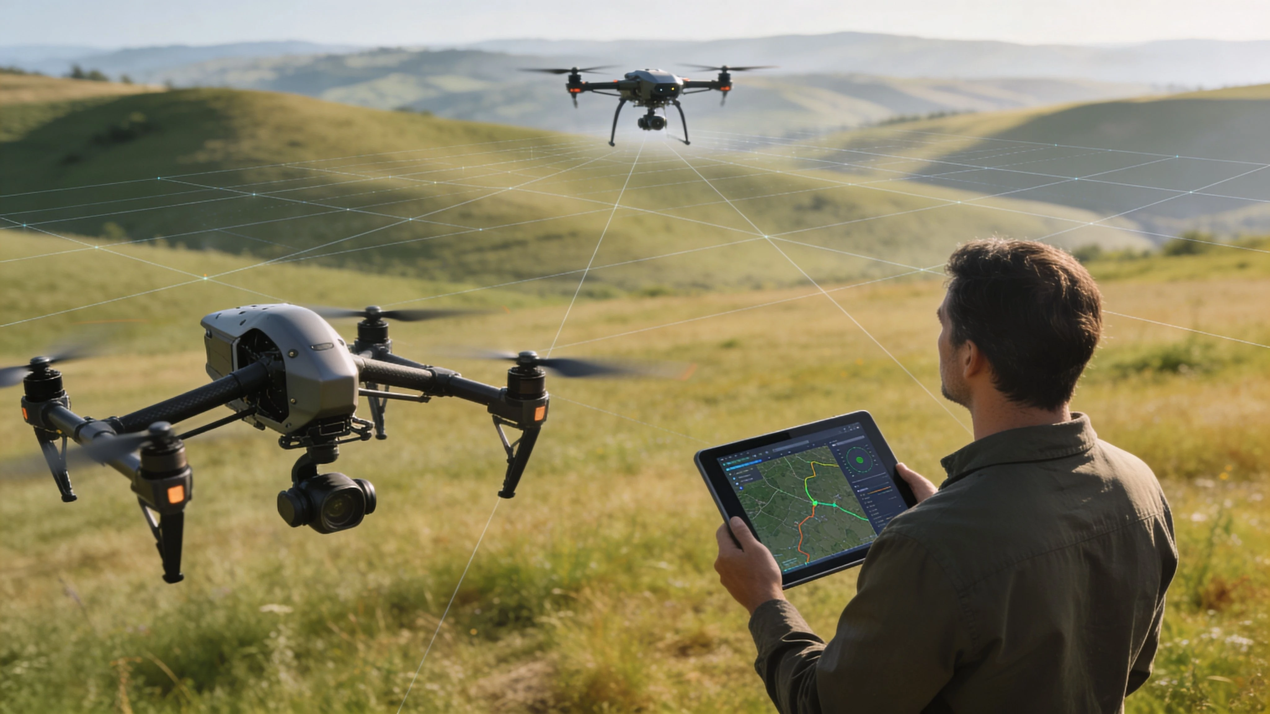 Best Software for Drone Operations in 2026 →
 Mastering Drone Services Pricing: 2026 Guide →
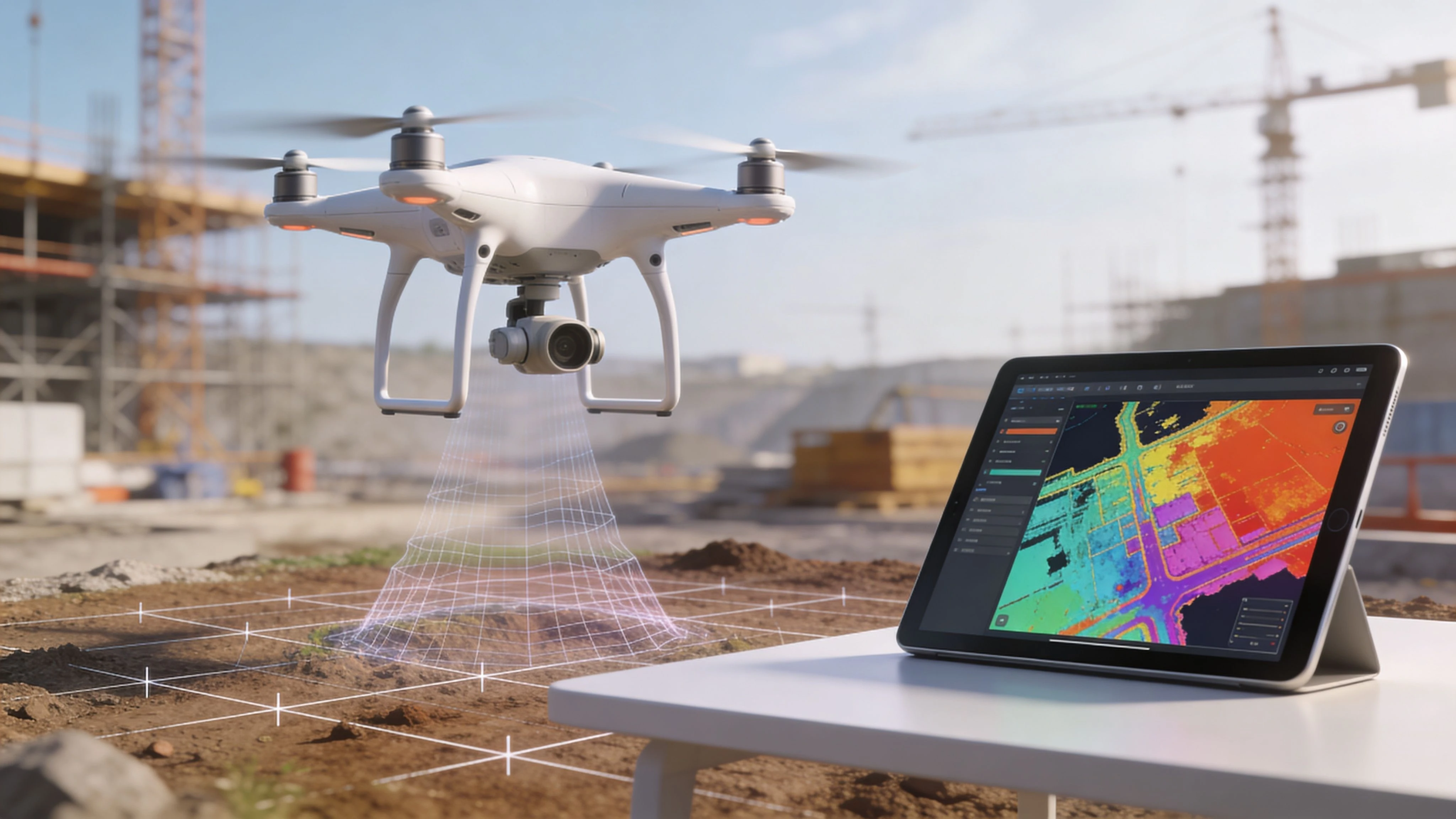 Drone Deploy App: Master Features & Alternatives →
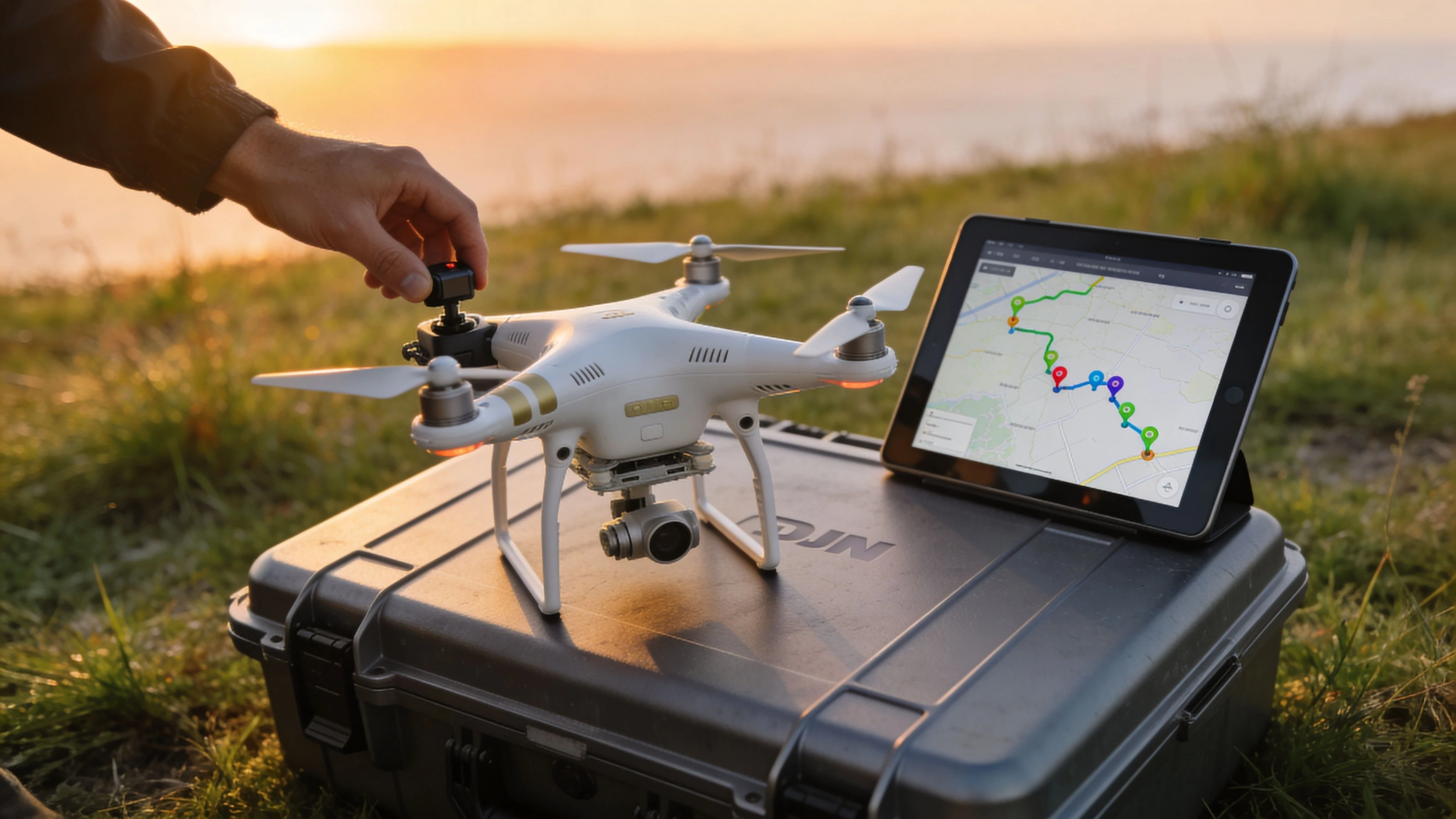 DJI Phantom 3 Adv: 2026 Guide & Pro Workflow →