Jun 23rd 2026
How to Choose an Aerial Survey Drone for Accurate Data
Choose an aerial survey drone with confidence. Learn how sensors, RTK/PPK, GCPs and flight planning affect survey accuracy.
Choose an aerial survey drone with confidence. Learn how sensors, RTK/PPK, GCPs and flight planning affect survey accuracy.
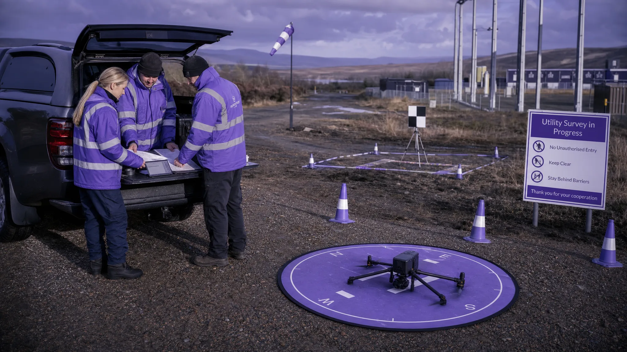
Plan a safer UAV survey with practical steps for site checks, risk assessment, flight planning, crew briefings and post-flight records.
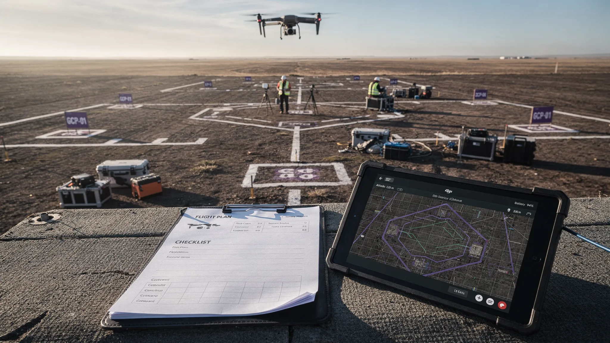
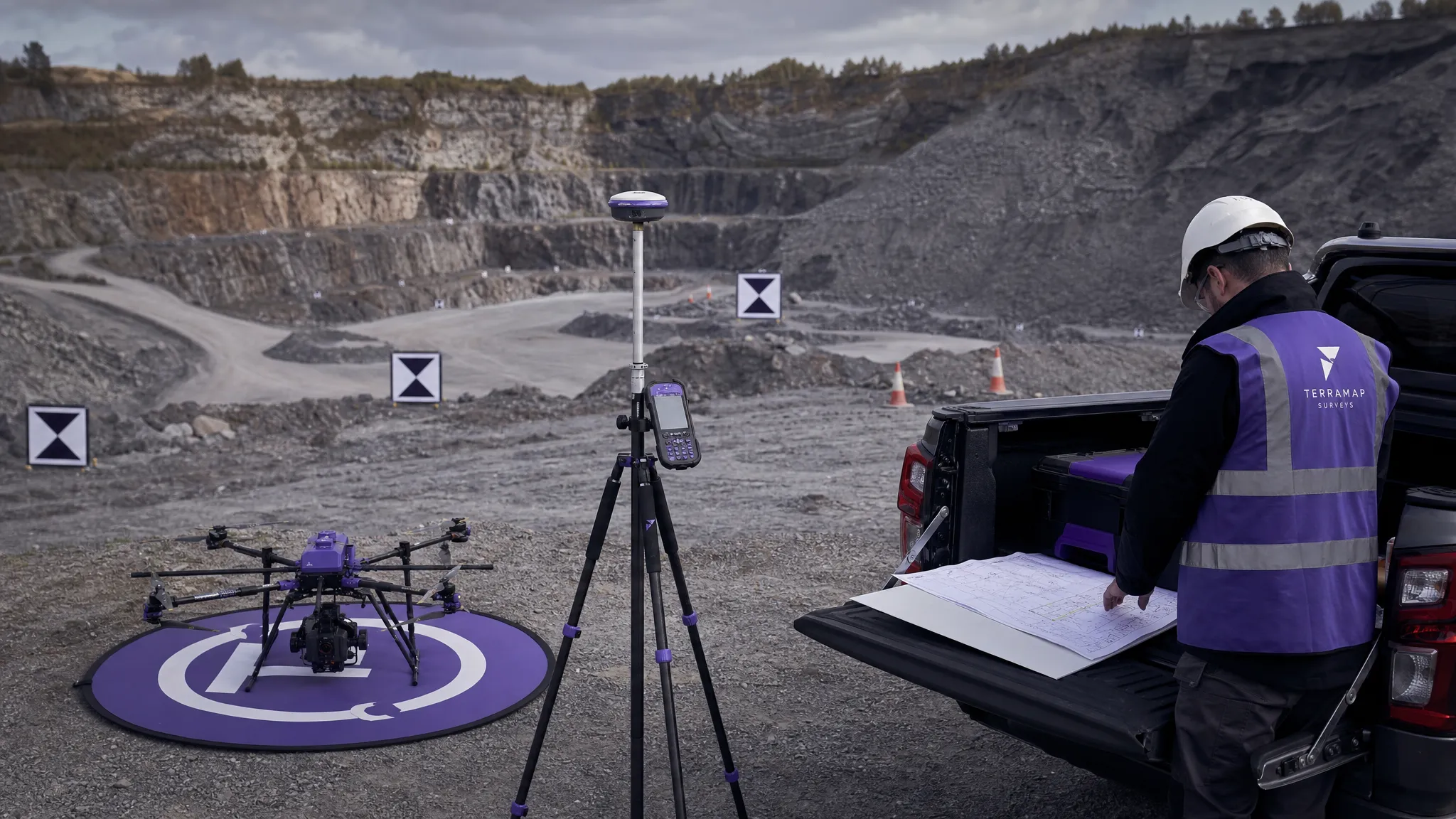
Improve drone mapping and surveying results with practical workflow tips for planning, field capture, accuracy checks, QA and compliance.
See how survey firms use drone survey software to standardise planning, manage teams and fleets, reduce admin and scale safer operations.
UK drone survey price ranges for commercial projects, with cost factors, quote tips and examples for mapping, roofs, utilities and sites.
UAV mapping explained for commercial drone operators: workflows, outputs, accuracy, compliance and how to run profitable mapping jobs.
Unlock the power of DJI GS Pro for surveying and mapping. Our 2026 guide covers features, setup, Dronedesk integration, and modern alternatives.
Discover how a UAV mapping drone can transform your projects. This guide covers sensors, workflows, and best practices for capturing high-accuracy aerial data.
Discover how to master UAV for mapping with our guide. Learn expert strategies for drone selection, data capture, and processing for high-accuracy results.