How to Choose an Aerial Survey Drone for Accurate Data
Choosing an aerial survey drone is not really about buying the aircraft with the longest flight time or the highest advertised camera resolution. If the goal is accurate data, the right choice depends on the whole survey workflow: the deliverable, the sensor, georeferencing method, flight planning discipline, site constraints, pilot capability and processing software.
For survey companies, utilities and emergency services, that distinction matters. A drone that performs brilliantly for rapid visual inspection may be the wrong tool for topographic mapping. A platform that captures excellent imagery over open farmland may struggle around substations, steep terrain or urban obstructions. The best aerial survey drone is the one that repeatedly produces data that meets the accuracy specification, within the operating conditions you actually face.
This guide breaks down the main decision points so you can choose with confidence and avoid paying for features that do not improve the final dataset.
Start with the required survey outcome
Before comparing aircraft, define the output. Are you producing an orthomosaic, a digital surface model, a point cloud, a stockpile volume report, a roof condition record or evidence for an incident response? Each deliverable places different demands on the drone and payload.
Accuracy also needs to be defined clearly. Many procurement discussions blur three separate concepts: image resolution, relative accuracy and absolute positional accuracy. Image resolution is often expressed as ground sample distance, or GSD, which describes how much ground each pixel represents. Relative accuracy describes how well features align within the dataset. Absolute accuracy describes how close the data is to real-world coordinates.
A beautiful 1 cm GSD orthomosaic is not automatically a centimetre-accurate survey product. To meet a formal accuracy specification, you need appropriate georeferencing, ground control or independent checkpoints, good camera geometry and a repeatable processing workflow. The ASPRS Positional Accuracy Standards for Digital Geospatial Data are a useful reference point for understanding how geospatial accuracy should be tested and reported.
| Survey outcome | What matters most | Drone selection implication |
|---|---|---|
| Orthomosaic mapping | Sharp nadir imagery, consistent overlap, stable exposure | RGB camera with suitable sensor size, mechanical or global shutter preferred |
| Topographic survey | Elevation quality, georeferencing, checkpoints | RTK/PPK capability, reliable terrain following, strong processing workflow |
| Stockpile volumes | Repeatability, surface model quality, safe site access | Stable multirotor or fixed-wing platform, consistent flight parameters |
| Utility corridor survey | Coverage, endurance, obstacle awareness, payload flexibility | Longer endurance aircraft or VTOL, RGB and possibly LiDAR depending on vegetation |
| Emergency response mapping | Speed, portability, robust workflow | Quick deployment, dependable batteries, simple flight planning and logging |
Your accuracy requirement should drive every later decision. If a client only needs a visual progress record, an expensive survey-grade setup may be unnecessary. If the client requires defensible centimetre-level outputs, a basic camera drone without proper control workflow may be a false economy.
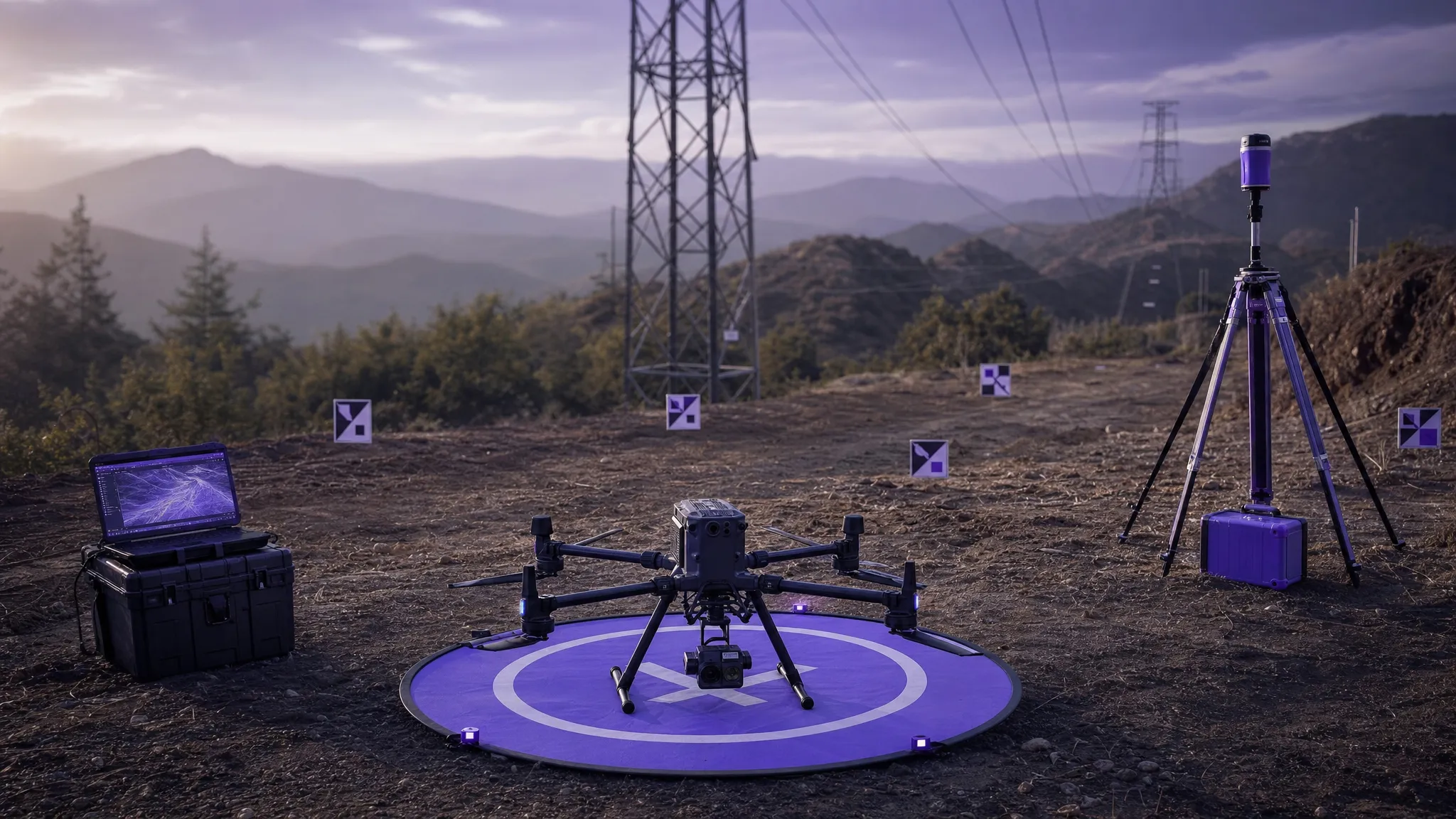
Choose the right airframe for the terrain and coverage
The three main airframe categories for aerial survey work are multirotor, fixed-wing and VTOL fixed-wing. Each can produce accurate data, but each suits different operating patterns.
Multirotors are the most flexible choice for many commercial operators. They can take off from confined spaces, fly slowly, hold position and capture detailed imagery around structures. They are well suited to construction sites, assets, quarries, rooftops, emergency scenes and smaller survey areas. Their main limitation is endurance, particularly in windy conditions or when carrying heavier payloads.
Fixed-wing drones cover larger areas more efficiently because they generate lift through forward motion. They are useful for agriculture, environmental mapping and wide-area surveys where take-off and landing space is available. However, they are less practical in confined or obstacle-rich environments, and some require more planning for launch and recovery.
VTOL fixed-wing drones combine vertical take-off and landing with efficient forward flight. They can be attractive for utility corridors, rural mapping and large sites with limited landing space. The trade-off is usually higher cost, greater operational complexity and more components to maintain.
| Airframe type | Strengths | Watch-outs |
|---|---|---|
| Multirotor | Precise positioning, easy deployment, ideal for confined sites | Shorter endurance, less efficient for very large areas |
| Fixed-wing | Efficient coverage, long flight times, strong for open terrain | Needs launch and recovery space, less flexible around obstacles |
| VTOL fixed-wing | Large-area coverage without runway-style landing | Higher cost and complexity, more training and maintenance |
For most operators, the best approach is not to ask which airframe is most advanced. Ask which one can fly the required pattern safely, maintain the right altitude and overlap, and capture consistent data in the environments you serve most often.
Match the sensor to the data product
The sensor is often more important than the drone itself. A reliable aircraft carrying the wrong sensor will not deliver the dataset you need.
For photogrammetry, look beyond megapixels. Sensor size, lens quality, shutter type, focus reliability and exposure control all influence data quality. A larger sensor can improve low-light performance and image detail. A mechanical shutter or global shutter is preferable for mapping because rolling shutter distortion can reduce geometric accuracy, especially at higher speeds.
For terrain under vegetation, powerline corridors or complex industrial sites, LiDAR may be more appropriate than photogrammetry. LiDAR can capture dense 3D point clouds and may penetrate gaps in vegetation better than imagery-based methods. However, it adds cost, payload weight, calibration requirements and processing complexity. It is not automatically “more accurate” unless it is correctly specified, mounted, calibrated and controlled.
Thermal and multispectral payloads are valuable for specific use cases, such as solar farm inspection, vegetation health monitoring or search and rescue support. They should be chosen for a defined operational need, not as a general substitute for survey-grade RGB or LiDAR data.
When evaluating payloads, ask vendors for sample datasets from conditions similar to your own work. A clean demo dataset captured on a calm day over a flat test site is useful, but it does not prove performance over reflective roofs, woodland edges, coastal sites, substations or steep slopes.
Understand RTK, PPK, GCPs and checkpoints
Georeferencing is where many survey drone buying decisions go wrong. RTK and PPK are powerful, but they do not remove the need for survey discipline.
RTK, or real-time kinematic positioning, corrects GNSS positions during flight using a base station or network correction service. It can improve camera position accuracy and reduce the number of ground control points required. PPK, or post-processed kinematic positioning, applies corrections after the flight. It can be more resilient where live data links are unreliable, such as remote sites or areas with poor mobile coverage.
Ground control points, or GCPs, are surveyed points visible in the imagery and used to constrain the model. Checkpoints are independent surveyed points used to test the final accuracy. A common mistake is to use all surveyed points as GCPs and leave no independent checks. That can make a dataset look controlled without proving the final accuracy.
For defensible survey outputs, plan your georeferencing strategy before you buy the drone. If you work on regulated infrastructure, engineering projects or legal evidence, you may still need GCPs and checkpoints even with RTK or PPK. If your work is rapid situational awareness, onboard GNSS may be sufficient, but that should be a deliberate choice tied to the deliverable.
Evaluate flight performance in real survey conditions
Manufacturer specifications are useful, but they are often based on ideal conditions. Survey operations rarely happen in ideal conditions.
Endurance affects more than productivity. If a drone cannot complete a mapping block with sufficient battery reserve, you may need more flight lines, more battery swaps and more chances for lighting or wind conditions to change. Wind tolerance matters because inconsistent pitch, roll and groundspeed can affect image overlap and blur. Payload capacity matters because a drone that flies well with a standard camera may behave differently with LiDAR, an oblique camera or additional accessories.
Terrain following is particularly important for accurate GSD over uneven ground. Flying at a constant altitude above take-off point can create large resolution changes across slopes or quarries. A platform and mission planner that support terrain-aware flight can help maintain more consistent imagery, provided the underlying terrain data is suitable and the flight remains safe.
Also consider operational resilience. Can the aircraft be serviced quickly? Are batteries readily available? Is the manufacturer likely to support the model for several years? Can pilots in your team be trained consistently? These questions matter for any professional operation, but they become critical for utilities and emergency services where deployment reliability may be more important than headline specifications.
Do not separate the drone from the workflow
Accurate data is produced by a system, not a single aircraft. The best aerial survey drone still needs disciplined planning, documented checks, suitable airspace review, pilot competence and consistent post-flight processing.
Pre-flight planning should define altitude, overlap, flight speed, camera angle, exposure strategy, take-off and landing areas, emergency procedures, ground control layout and data handover requirements. For photogrammetry, insufficient overlap or inconsistent lighting can undermine the dataset before processing begins. For LiDAR, poor calibration or weak GNSS conditions can introduce errors that are expensive to fix later.
This is where operations management becomes part of data quality. Dronedesk’s published drone operations management features include flight planning, airspace intelligence, proximity intelligence, configurable checklists, risk assessments, flight logging, fleet management, team management, client management and data reporting. Those capabilities are relevant because they help operators manage the repeatable operational steps that sit around the survey flight itself.
For processing, the right software depends on your deliverables, sensor type and client reporting requirements. If you are comparing processing platforms as well as aircraft, Dronedesk’s drone mapping software guide gives a broader view of the software options used for photogrammetry, mapping and 3D outputs.
Factor in compliance and operational evidence
For UK operators, aircraft choice also interacts with regulatory and safety requirements. The Civil Aviation Authority provides current guidance for drone operators through its drones and model aircraft section. Depending on your aircraft, operating category, location and task, you may need specific permissions, procedures or operational authorisations.
From a survey buyer’s perspective, compliance is not just about being allowed to fly. It is also about being able to evidence that the job was planned and conducted properly. That includes the airspace review, site assessment, risk assessment, pilot assignment, aircraft status, battery records, checklists, incident notes and flight logs.
This matters when data is challenged. If a client questions the result, the deliverable is easier to defend when you can show how the flight was planned, what equipment was used, which checks were completed and how the site risks were managed. If your internal process needs strengthening, this guide on building a drone flight risk assessment that works is a useful next step.
Compare total cost of ownership, not just purchase price
The cheapest drone that can technically capture the imagery may not be the cheapest way to produce accurate survey data. Total cost of ownership includes the aircraft, payloads, batteries, chargers, GNSS equipment, base station or correction subscriptions, ground targets, cases, maintenance, insurance, training, software and replacement parts.
Downtime should also be part of the calculation. If a drone is central to client delivery, lack of spare batteries or slow repair turnaround can cost more than the initial saving. For teams running multiple aircraft, fleet consistency can also reduce training overhead and simplify maintenance.
A practical budget should include the full workflow from enquiry to final data delivery. For example, a survey-grade camera may reduce rework by producing sharper imagery. RTK or PPK may reduce field time on some sites, though not eliminate the need for checkpoints. Better planning tools may reduce missed steps and improve consistency between pilots. The right investment is the one that improves the reliability of the final output, not the one that looks best in a spec comparison.
Use a decision matrix before you buy
A simple decision matrix can stop the process becoming emotional or brand-led. Weight the criteria according to your work, then score each aircraft and payload combination against real operating needs.
| Criterion | Why it affects accuracy or delivery | Questions to ask |
|---|---|---|
| Required deliverables | Determines sensor, flight pattern and processing workflow | What outputs must be accepted by the client? |
| Georeferencing | Drives absolute accuracy and repeatability | Is RTK, PPK, GCP support or checkpoint validation required? |
| Sensor quality | Influences image sharpness, geometry and usable data | Is the camera or LiDAR suitable for the target accuracy? |
| Site environment | Affects safety, coverage and data consistency | Will it operate around trees, metal structures, slopes or wind? |
| Endurance and coverage | Determines whether missions can be completed cleanly | Can it capture the site with safe reserves and consistent conditions? |
| Workflow integration | Reduces missed steps and improves evidence | Can planning, checks, logging and reporting be handled consistently? |
| Support and lifecycle | Protects long-term operational reliability | Are repairs, batteries and firmware support dependable? |
This matrix is especially useful for mixed-use teams. A utility company may need corridor mapping, asset inspection and emergency response from the same fleet. A survey company may need one aircraft for high-accuracy topographic work and another for rapid visual progress capture. Trying to make one drone perfect for every scenario often leads to compromise.
A practical procurement process
Once you have defined the requirement, treat procurement as a validation exercise rather than a brochure comparison.
- Define the required deliverables, accuracy standard and acceptance criteria before speaking to vendors.
- Shortlist aircraft and sensors that match the site sizes, terrain and operating environments you actually work in.
- Ask for sample datasets, including raw imagery or point clouds where possible, not just polished outputs.
- Run a field trial on a representative site with your own control points and processing workflow.
- Compare results using independent checkpoints, not only the software’s internal quality report.
- Review operational requirements, including training, maintenance, batteries, insurance and regulatory implications.
- Document a standard operating workflow so pilots can repeat the same quality process across future jobs.
The field trial is the most important step. It can reveal issues that specifications hide: motion blur, weak GNSS performance, poor wind handling, awkward battery logistics, slow deployment or processing bottlenecks. If the drone will be used by a team, include more than one pilot in the trial so you can assess how easy it is to operate consistently.
Frequently Asked Questions
What is the best aerial survey drone for accurate data? There is no single best choice for every operator. The best aerial survey drone is the one that matches your deliverable, accuracy requirement, site conditions and workflow. For small and complex sites, a multirotor may be ideal. For large open areas, fixed-wing or VTOL may be more efficient.
Do I need RTK or PPK for drone surveying? RTK or PPK is strongly recommended when absolute accuracy and repeatability matter, but it is not a complete quality guarantee. You may still need well-distributed ground control points and independent checkpoints, depending on the client specification and survey standard.
Is LiDAR better than photogrammetry for aerial surveys? LiDAR is better for some tasks, especially where vegetation, complex structures or direct 3D measurement are important. Photogrammetry is often more cost-effective for orthomosaics, surface models and visual mapping. The right choice depends on the terrain, deliverable and accuracy requirement.
How much overlap should I use for drone mapping? Many photogrammetry missions use high forward and side overlap, often adjusted for terrain, subject texture and camera quality. Higher overlap can improve reconstruction, but it also increases flight time and processing load. Always follow the requirements of your processing software and test settings for your survey type.
Can a consumer drone produce survey-grade results? In some limited cases, yes, particularly for visual records or lower-accuracy mapping. For formal survey-grade outputs, you need to validate the complete workflow, including camera quality, georeferencing, control points, checkpoints and processing. The aircraft label alone does not determine whether the result is survey-grade.
Bring accuracy into your whole operation
Choosing the right drone is only one part of producing reliable survey data. The operational process around each flight is what makes results repeatable, auditable and easier to defend.
If your team needs a simpler way to manage survey jobs, airspace checks, risk assessments, checklists, fleet records, team activity and flight logs, Dronedesk brings those operational tasks together in one drone operations management platform. Use it to support the disciplined workflows that help accurate data happen consistently, not just occasionally.
 FAA Part 107 Drone License Explained for Beginners →
 How to Review a DJI Drone Flight Log Step by Step →
 Drone Registration Law Explained for Commercial Pilots →
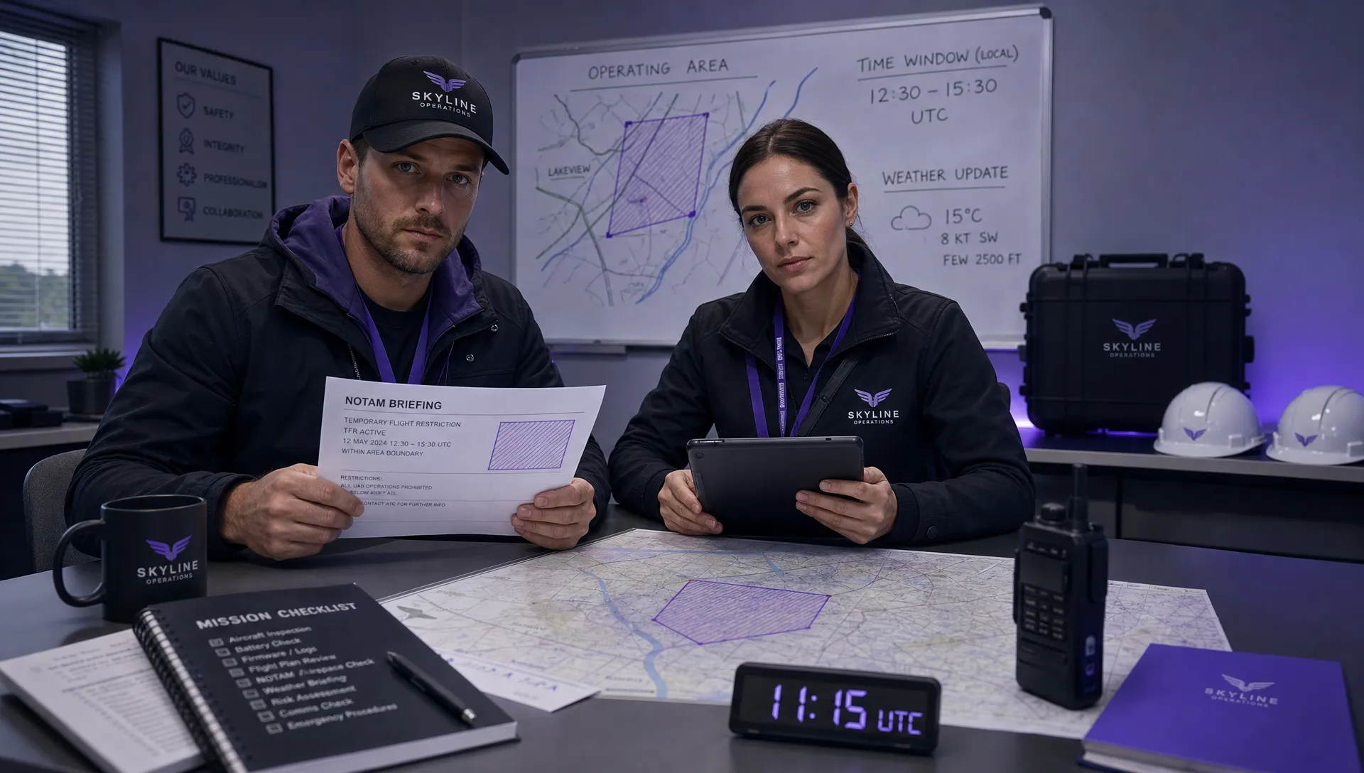 How to Check a Drone NOTAM Before Every Mission →
 BVLOS Drone Meaning and Why It Matters →
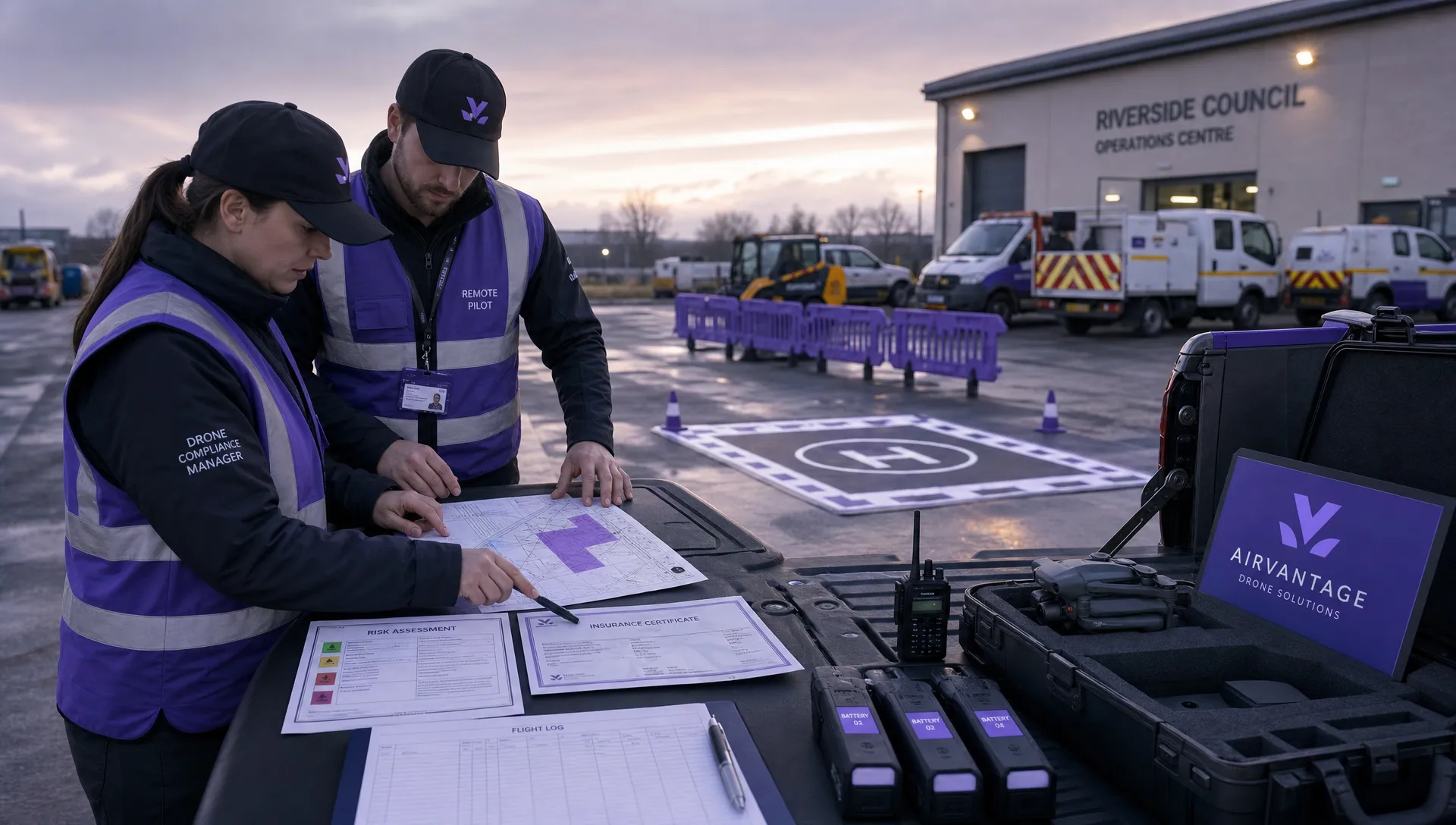 Drone Operation Regulations Explained for Businesses →
 How to Pass Your Drone Pilot License Test →
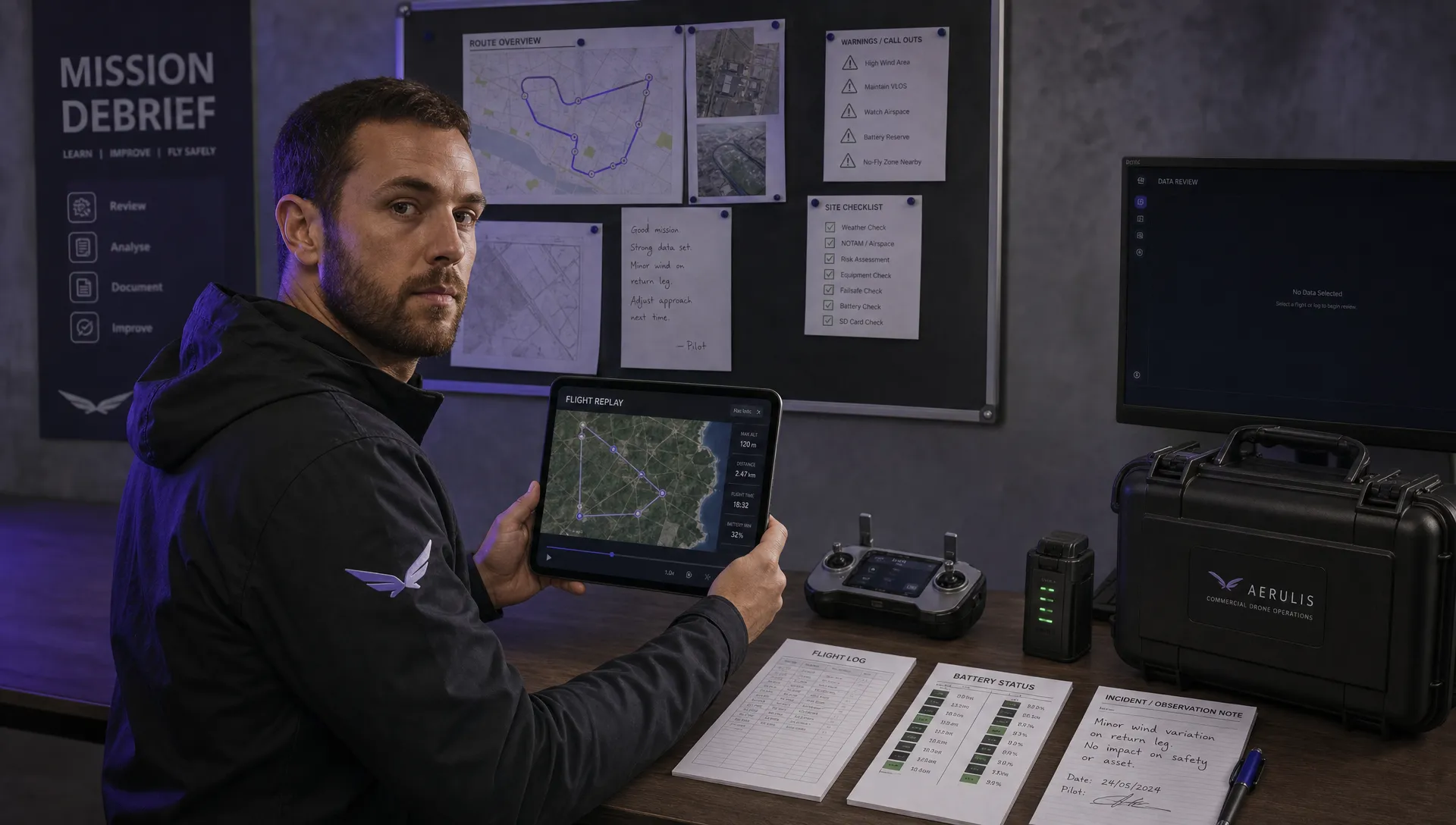 How to Review a DJI Flight Record After a Mission →
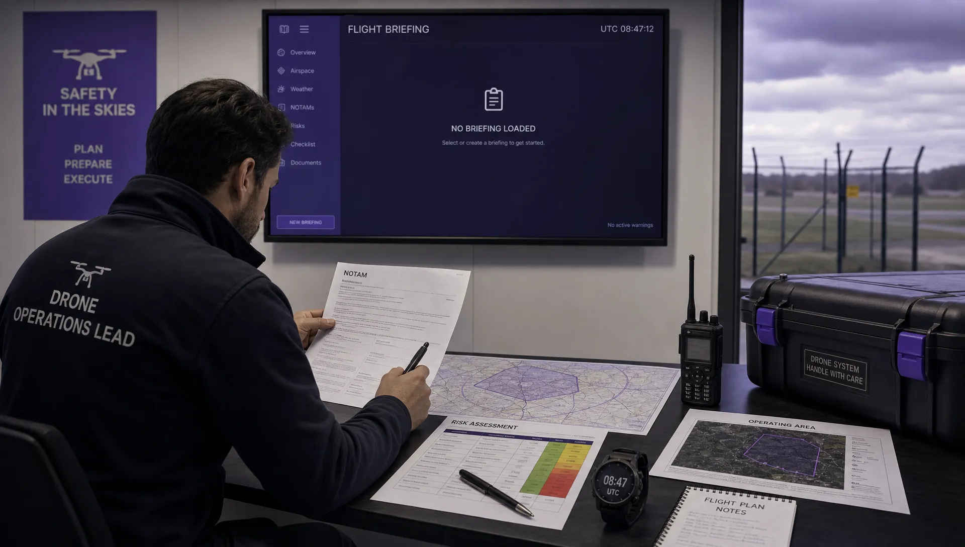 How to Check a Drone NOTAM Before You Fly →
 Part 108: What Drone Operators Should Expect →