Drone Survey Price Guide for UK Commercial Projects
If you are budgeting a commercial drone project, the first question is usually simple: what should a drone survey cost? The honest answer is that the drone survey price depends less on the drone itself and more on the risk, accuracy, data processing and deliverables required.
For many UK commercial projects, a basic visual inspection may cost a few hundred pounds. A survey-grade mapping job with ground control, CAD outputs and detailed reporting can run into several thousand pounds. This guide breaks down the typical ranges, what is usually included, and how both clients and drone operators can price projects more confidently.
All figures below are indicative UK commercial ranges for 2026 and are usually quoted excluding VAT.
Quick answer: typical UK drone survey prices in 2026
For straightforward commercial work, many UK drone survey prices fall between £300 and £1,500. More complex surveys, such as topographical mapping, quarry volumetrics, utilities inspections or LiDAR capture, can range from £1,500 to £10,000+, depending on scope.
| Project type | Typical UK price range | Common deliverables |
|---|---|---|
| Commercial roof inspection | £300 to £950 | High-resolution images, defect report, annotated photos |
| Construction progress survey | £250 to £800 per visit | Photos, video, orthomosaic, site comparison imagery |
| Small site mapping survey | £700 to £2,500 | Orthomosaic, point cloud, basic measurements |
| Topographical drone survey | £1,500 to £6,000+ | Survey-grade outputs, contours, CAD/GIS files, ground control |
| Stockpile or quarry volumetric survey | £700 to £3,500 | Volume calculations, surface models, reports |
| Solar farm or thermal inspection | £800 to £4,000+ | Thermal imagery, anomaly report, asset references |
| Utility or infrastructure inspection | £1,000 to £5,000+ | Asset imagery, inspection report, geotagged defects |
| LiDAR drone survey | £2,500 to £10,000+ | Dense point cloud, terrain model, classified data |
These are not fixed tariffs. A small, low-risk rural site may sit at the lower end. A city-centre survey near controlled airspace, with multiple stakeholders and formal reporting requirements, will cost more even if the flight time is short.
Why the price is not just “a drone for an hour”
A commercial drone survey quote covers far more than the time spent flying. In many projects, the drone flight is one of the shortest parts of the job. Planning, permissions, safety documentation, data management and post-processing often take longer.
A professional provider is usually pricing the complete outcome: safe data capture, compliant operations, accurate deliverables and usable information for your project team.
The UK Civil Aviation Authority sets the regulatory framework for drone operations, and operators must understand where their work sits within the relevant category of operation. You can find the CAA’s current guidance on its drone and model aircraft pages. For commercial projects, the operator may also need to consider airspace restrictions, landowner permissions, nearby people, infrastructure, emergency sites, railways, roads and other hazards.
What is usually included in a commercial drone survey price?
A strong quote should make it clear what is included. If two drone survey prices look very different, the reason is often hidden in the deliverables or the amount of preparation included.
| Cost component | What it covers | Why it matters |
|---|---|---|
| Scoping and consultation | Understanding the site, objective and deliverables | Prevents underpricing and avoids the wrong data being captured |
| Flight planning | Airspace checks, take-off points, battery planning, emergency procedures | Supports safe and efficient operations |
| Risk assessment and method statement | Site hazards, mitigations, operating limits and crew responsibilities | Often required by commercial clients and principal contractors |
| Pilot and crew time | Remote pilot, observers, surveyor or spotters where needed | Complex sites may need more than one person |
| Equipment | Drone, batteries, sensors, RTK kit, ground control equipment | Survey-grade work needs more than a basic camera drone |
| Insurance and compliance | Aviation insurance, records, authorisations and operational documentation | Reduces client and operator risk |
| Data processing | Photogrammetry, thermal analysis, point clouds, CAD/GIS exports | Often the largest hidden cost in mapping projects |
| Reporting | Defect notes, measurements, annotations, asset references and recommendations | Turns imagery into a usable commercial deliverable |
| Travel and logistics | Mileage, parking, access, accommodation and site inductions | Can be significant for remote or multi-site work |
For clients, this table helps you compare quotes fairly. For operators, it is a useful reminder not to charge only for flight time.
The main factors that affect drone survey price
1. The deliverable you need
The biggest driver of price is the final output. A set of roof photos is very different from a survey-grade topographical model.
A visual inspection might need carefully captured, geotagged images and a short report. A mapping project may need ground control points, repeatable flight paths, specialist processing software, quality checks and CAD-ready outputs. A utility inspection may require asset IDs, defect categories and structured data that can be imported into the client’s asset management system.
If the deliverable needs to stand up to engineering, design or legal scrutiny, the price should reflect that extra responsibility.
2. Site size and complexity
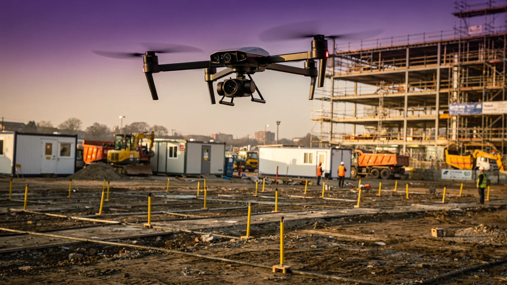
A larger site usually takes longer to fly and process, but size is not the only issue. A small site in a congested area can be more expensive than a larger rural site because of operational risk.
Urban locations, active construction sites, highways, rail assets, ports, quarries and energy infrastructure all increase planning requirements. Industrial estates, container yards and modular storage sites can look straightforward, but they often involve vehicle movements, reflective metal surfaces, access restrictions and multiple asset types. Container depots are a good example: the assets may be standardised, as shown by suppliers of premium shipping containers for sale, but the survey cost still depends on access, reporting depth and the number of units or structures being inspected.
3. Accuracy requirements
A drone can produce impressive imagery without producing survey-grade data. If the client needs accurate measurements, contours, stockpile volumes or design information, the operator may need RTK/PPK drones, ground control points, checkpoints and survey expertise.
Accuracy requirements can add cost through:
- Surveyor time for ground control and validation
- Specialist GNSS equipment
- More careful flight planning and overlap settings
- Processing, checking and rework allowance
- Professional liability considerations
A useful question for clients is: “What decision will this data support?” If the answer involves design, payment, contractual quantities or engineering work, the survey specification should be clear before the quote is agreed.
4. Sensor type
The camera or sensor can change the price significantly. Standard RGB imagery is usually the most affordable. Thermal, multispectral and LiDAR payloads increase both equipment cost and interpretation time.
| Sensor type | Typical use | Pricing impact |
|---|---|---|
| RGB camera | Roofs, sites, mapping, visual inspections | Lowest cost and most widely available |
| RTK/PPK RGB | Mapping, stockpiles, construction measurement | Higher cost due to accuracy workflow |
| Thermal | Solar farms, heat loss, electrical assets, search operations | Higher cost due to sensor and analysis |
| Multispectral | Agriculture, vegetation, environmental monitoring | Higher cost due to specialist processing |
| LiDAR | Vegetation penetration, terrain, complex infrastructure | Highest cost due to equipment and data handling |
5. Permissions, access and stakeholder management
Some surveys require coordination with landowners, site managers, local authorities, air traffic services, security teams or neighbouring businesses. These tasks take time and may need to be completed days or weeks before the flight.
For example, a roof inspection on a closed private warehouse may be simple. A roof inspection in a town centre, near a railway line and above a busy pedestrian area, requires more careful planning. If road closures, exclusion zones, security escorts or out-of-hours work are required, the price will rise.
6. Post-processing and reporting depth
Processing is where many drone survey quotes diverge. Some clients only need a folder of images. Others need a structured report, measurements, annotations, defect grading, CAD files or a point cloud.
A low-cost quote may include capture only. A higher quote may include processing, QA, data hosting, report writing and revisions. Neither is automatically wrong, but they are not the same service.
Common pricing models for drone survey work
Different project types suit different pricing models. A professional operator should choose the model that best matches the risk and deliverable.
| Pricing model | Best for | Pros | Watch-outs |
|---|---|---|---|
| Fixed project fee | Defined scopes, inspections, mapping jobs | Clear for the client, easier to approve | Scope must be tightly defined |
| Day rate | Uncertain sites, utility patrols, multi-asset inspections | Flexible when scope may change | Client may not know final cost upfront |
| Per hectare | Mapping, agriculture, land surveys | Simple for larger land areas | Can underprice complex sites |
| Per asset | Roofs, towers, pylons, solar strings, stockpiles | Useful for repeatable inspections | Asset condition and access can vary |
| Retainer or programme pricing | Monthly construction progress, utilities, estates | Predictable cost and repeatable workflow | Needs agreed cancellation and weather terms |
For recurring commercial clients, programme pricing can be effective. A construction company may want the same site flown monthly. A utility company may need a fixed inspection schedule. A facilities manager may want multiple roofs inspected across an estate. Once planning templates, access arrangements and reporting formats are agreed, each follow-up visit can be more predictable.
Example budgets for UK commercial projects
The following examples show how project scope changes the likely budget. They are not quotes, but they reflect the type of thinking behind a professional estimate.
| Scenario | Likely budget range | What drives the cost |
|---|---|---|
| Warehouse roof inspection outside a congested area | £450 to £950 | Short flight, high-resolution imagery, defect notes, basic report |
| Monthly construction progress capture | £300 to £700 per visit | Repeatable route, simple deliverables, reduced setup after first visit |
| 10-hectare development site mapping | £1,500 to £4,000 | Ground control, orthomosaic, point cloud, contours, CAD/GIS export |
| Quarry stockpile measurement | £900 to £3,500 | Site safety, volume calculations, repeatability, reporting |
| Solar farm thermal inspection | £1,500 to £5,000+ | Thermal sensor, correct weather conditions, asset referencing, analysis |
| Linear utility inspection | £1,500 to £6,000+ per phase | Access, observers, corridor length, asset tagging, stakeholder coordination |
| LiDAR survey of vegetated land | £3,000 to £10,000+ | Specialist payload, data processing, classification, survey expertise |
The most reliable way to control cost is to define the deliverable early. “We need a drone survey” is too vague. “We need a georeferenced orthomosaic, point cloud and 0.5 metre contours for a 12-hectare site in DWG format” is much easier to price.
How clients can compare drone survey quotes fairly
The cheapest drone survey price is not always the best value. A quote that misses processing, reporting or site risk may become expensive later when you need extra work, a re-flight or a corrected deliverable.
Before choosing a supplier, check whether the quote clearly states:
- The exact deliverables and file formats
- Whether prices include processing, reporting and revisions
- The expected accuracy and how it will be validated
- The operating assumptions, including access, weather and site hours
- The insurance level and relevant operational permissions
- Who owns or can use the captured data
- What happens if weather, permissions or access prevent the flight
You should also ask to see relevant examples. A provider who specialises in marketing video may not be the right fit for survey-grade mapping. Equally, a survey specialist may be over-specified for a simple visual progress update.
How drone operators should build a profitable survey quote
For drone operators, pricing too low is one of the fastest ways to create operational stress. Commercial survey work requires proper planning, documentation, competent delivery and enough margin to sustain the business.
A practical pricing formula is:
Project price = direct labour + equipment cost + planning/admin + processing + travel + software + overhead + risk allowance + profit margin
Direct labour should include pre-flight calls, planning, site attendance, post-flight data handling and client communication. Equipment cost should reflect depreciation, maintenance, batteries, sensor wear and backup kit. Software costs should include mapping tools, data storage, accounting, CRM and operations management systems.
Risk allowance matters. A project with uncertain access, complex airspace, tight weather windows or multiple stakeholders needs contingency. If you do not price for uncertainty, you are effectively donating that risk to the client.
Where drone surveys can reduce project costs
Drone surveys can be highly cost-effective when they reduce the need for scaffolding, rope access, shutdowns, repeated site visits or manual measurements in hazardous areas. They can also provide faster visual context for decision-makers, especially across large sites.
However, drones do not remove every cost. Some projects still need ground survey, physical inspection, intrusive testing or engineer sign-off. A drone survey is often best seen as a data capture and inspection method that complements other professional services.
The strongest value cases usually involve one or more of the following:
- Hard-to-access roofs, façades, towers or plant
- Large sites where manual measurement would take too long
- Dangerous or operationally sensitive environments
- Repeat monitoring where consistency is valuable
- Asset portfolios that need standardised reporting
The more expensive the alternative access method, the easier it is to justify a professional drone survey price.
Using Dronedesk to keep survey operations consistent
Pricing is easier when your operation is organised. If every job requires rebuilding the same paperwork, searching for client details, checking asset records manually and stitching together flight logs afterwards, your admin costs will creep into every quote.
Dronedesk is an all-in-one web platform for drone operators that brings key operational tools into one place, including client management, fleet management, team management, airspace intelligence, proximity intelligence, flight planning, flight logging, data reporting, configurable checklists and risk assessments.
For survey companies and in-house drone teams, that kind of operational structure can support more consistent quoting because the repeatable parts of the workflow are easier to manage. It also helps ensure that planning records, checklists, risk assessments and flight logs are not scattered across spreadsheets, email threads and folders.
Practical ways to reduce your drone survey price without cutting corners
Clients often ask how to reduce the cost of a survey. The answer is not to ask the operator to “just fly quickly”. It is to reduce uncertainty and make the job easier to plan.
Good ways to control cost include providing a clear site boundary, confirming access arrangements, sharing previous drawings, identifying known hazards, agreeing deliverables before the flight and grouping nearby sites into one visit where possible.
Weather flexibility also helps. If the operator has a wider window to complete the work, they can plan more efficiently. Tight deadlines, weekend work, night work and short-notice mobilisation usually increase cost.
Operators can reduce unnecessary cost by using templates for recurring work, standardising deliverables, maintaining accurate equipment records and reviewing job profitability after completion. If a certain type of job always takes longer than expected, the pricing model needs to change.
Frequently asked questions
How much does a drone survey cost in the UK? A basic commercial drone survey often costs between £300 and £1,500, while survey-grade mapping, thermal inspections, utility work or LiDAR projects can range from £1,500 to £10,000+ depending on scope, risk and deliverables.
Is a drone survey cheaper than a traditional survey? Sometimes. Drone surveys can reduce access costs and speed up data capture, especially for roofs, large sites and hazardous areas. However, ground control, engineering validation or traditional survey methods may still be needed for certain outputs.
Does the drone survey price include data processing? Not always. Some quotes include capture only, while others include photogrammetry, reports, CAD files, point clouds or defect analysis. Always confirm exactly what is included before comparing prices.
Do UK commercial drone surveys need CAA permission? It depends on the operation, location, aircraft and risk profile. Some work may be possible within the Open Category, while higher-risk commercial work may require Specific Category operations under an appropriate authorisation. A competent operator should explain the basis for the operation.
What information should I provide to get an accurate quote? Provide the site address, boundary, objective, deliverables, required accuracy, access details, preferred dates, known hazards and any file formats you need. The more precise the brief, the more accurate the quote.
Why do two drone survey quotes differ so much? They may include different deliverables, accuracy levels, processing time, insurance, crew size or compliance work. A low quote may exclude reporting or assume simple access, while a higher quote may include a complete survey workflow.
Bring consistency to your drone survey pricing
Whether you are buying drone survey services or delivering them, a good price starts with a clear scope. Define the deliverable, understand the site risk, allow for processing and make sure the quote reflects the full commercial outcome rather than just the flight.
For drone operators, survey companies and in-house teams that want to manage planning, risk assessments, checklists, flight logs, assets and reporting in one place, Dronedesk provides a practical operational foundation for commercial drone work. Explore the platform and see how it can support a more organised, professional survey workflow.
 FAA Part 107 Drone License Explained for Beginners →
 How to Review a DJI Drone Flight Log Step by Step →
 Drone Registration Law Explained for Commercial Pilots →
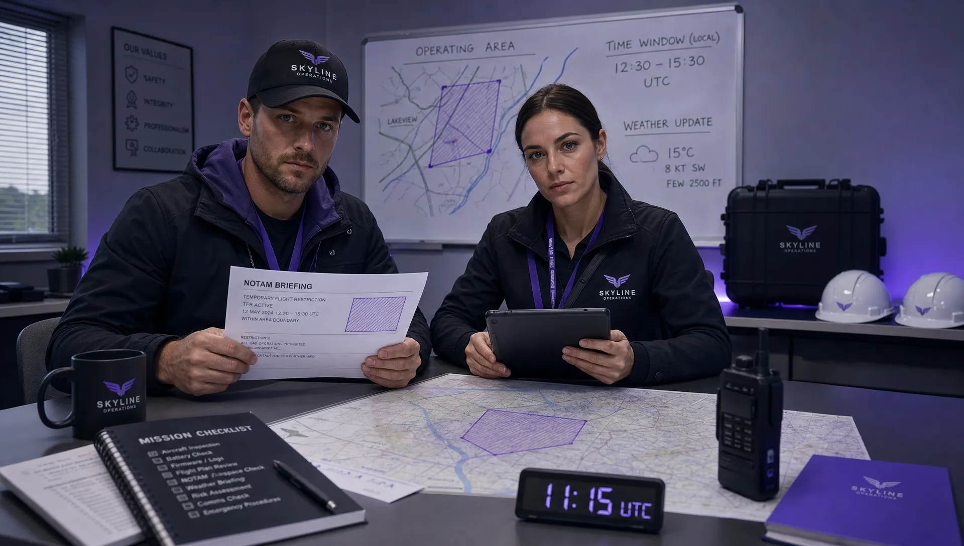 How to Check a Drone NOTAM Before Every Mission →
 BVLOS Drone Meaning and Why It Matters →
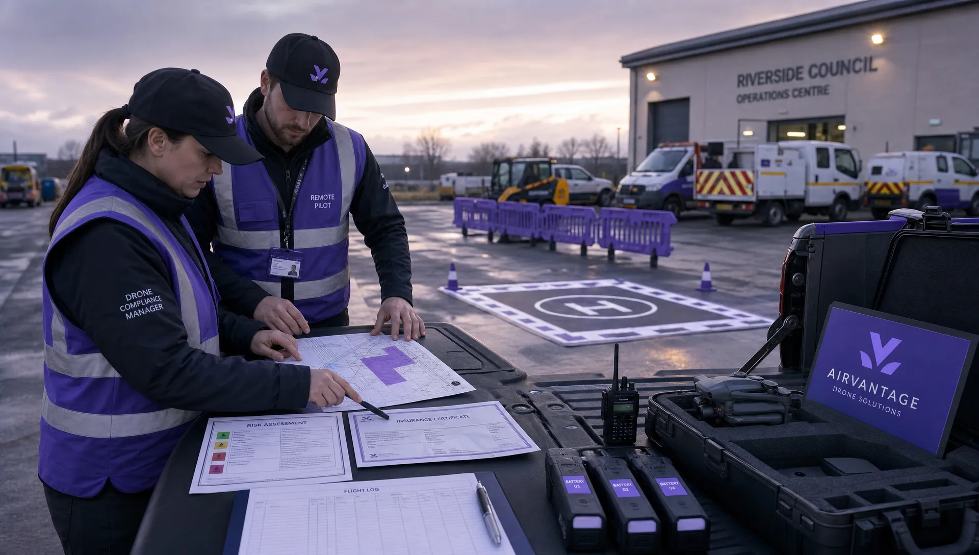 Drone Operation Regulations Explained for Businesses →
 How to Pass Your Drone Pilot License Test →
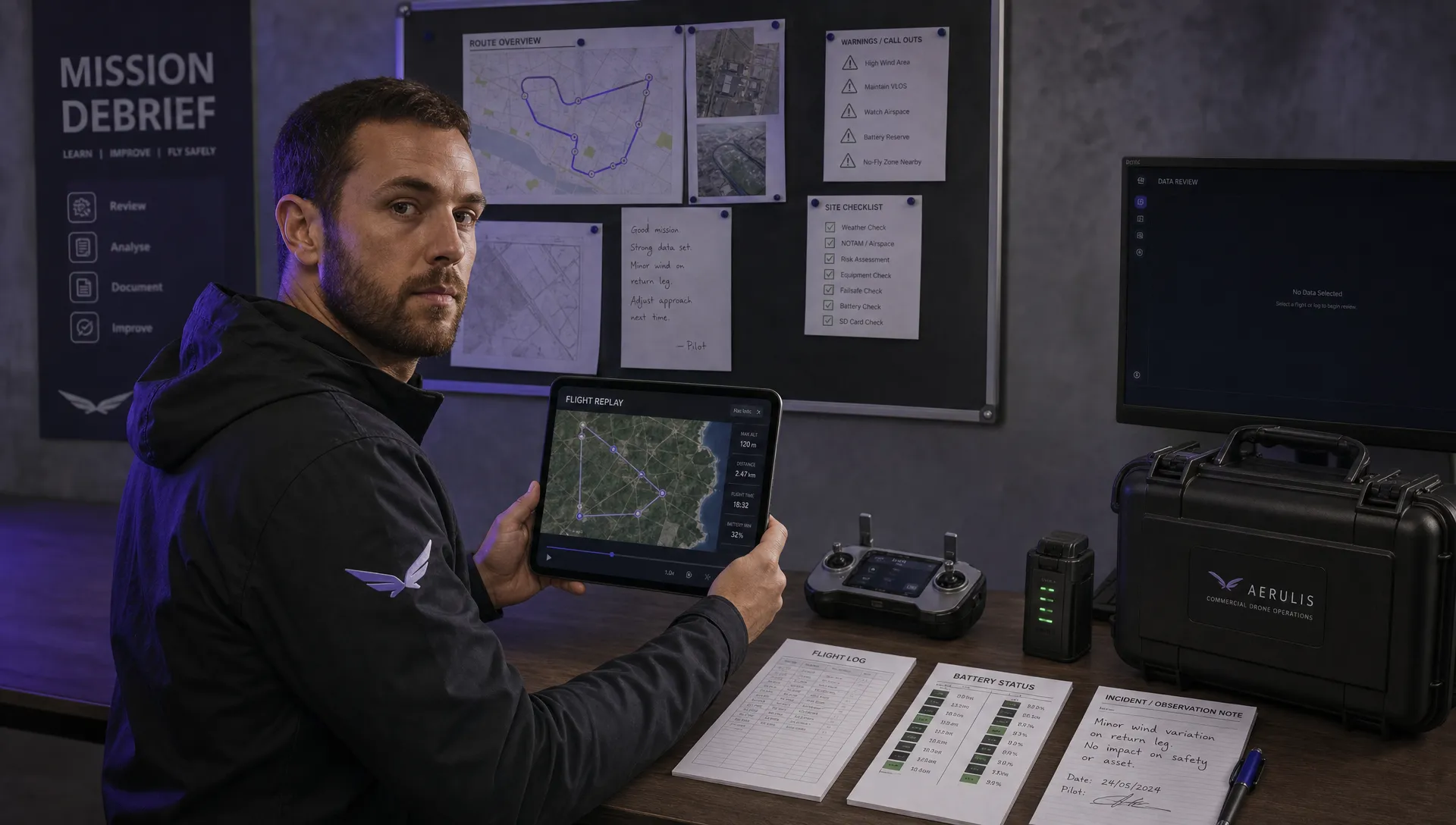 How to Review a DJI Flight Record After a Mission →
 How to Check a Drone NOTAM Before You Fly →
 Part 108: What Drone Operators Should Expect →