
Drone Mapping and Surveying Workflow Tips for Better Results
Better drone mapping and surveying results rarely come from one magic setting. They come from a repeatable workflow that protects accuracy, reduces re-flights and keeps every decision traceable from the client brief to the final deliverable.
That matters whether you are capturing a quarry stockpile, a roof inspection model, a utility corridor, an emergency incident map or a construction progress orthomosaic. The drone is only one part of the job. The quality of the output depends just as much on the brief, control strategy, flight planning, field discipline, processing QA and record keeping.
The workflow tips below are designed for commercial drone operators and survey teams that want more consistent results without adding unnecessary admin.
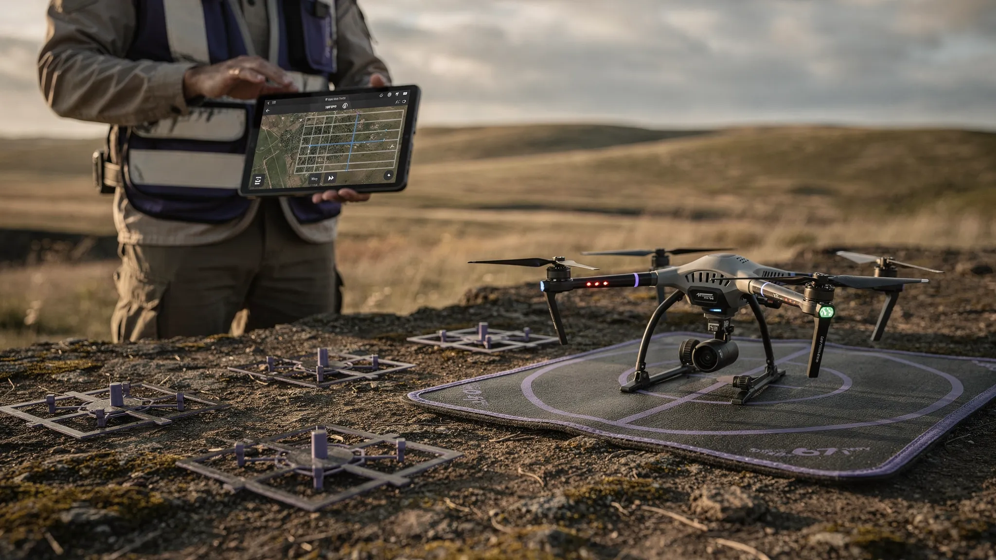
Start with the survey question, not the flight plan
A common mistake in drone mapping and surveying is opening the flight planning app before the deliverable is properly defined. A beautiful orthomosaic can still be the wrong output if the client actually needs cut and fill volumes, asset condition evidence, a point cloud for CAD, or a repeatable progress comparison.
Before you plan altitude, overlap or camera angle, clarify the decision the data needs to support. This is where survey quality starts. If the client wants a visual map for context, the workflow can be lighter. If the output will support engineering, measurement, safety or commercial decisions, the method needs more control, stronger QA and better documentation.
Useful questions to confirm at the brief stage include:
- What deliverable is required: orthomosaic, DSM, DTM, point cloud, 3D mesh, contours, volume report or inspection imagery?
- What level of accuracy or repeatability is needed, and who will validate it?
- Which coordinate reference system, units and vertical datum should be used?
- Are ground control points, checkpoints, RTK or PPK required?
- What site constraints could affect flying, access, lighting, GNSS reception or safety?
- What format does the client need for GIS, CAD or asset management systems?
- Will the data be compared against previous or future surveys?
Where outputs may be used for legal boundaries, engineering design or safety-critical decisions, involve an appropriately qualified survey professional. Drone data can be highly valuable, but the workflow must match the level of reliance placed on the result.
| Mapping objective | Typical output | Workflow priority |
|---|---|---|
| Construction progress | Orthomosaic, 3D model, comparison imagery | Repeatable flight paths, consistent timing and clean client records |
| Stockpile or earthworks measurement | Point cloud, DSM, volume report | Strong control strategy, clear surface boundaries and checkpoint validation |
| Utility inspection and corridor mapping | Georeferenced imagery, corridor map, asset photos | Access planning, obstacle awareness, linear mission design and evidence logging |
| Emergency response mapping | Rapid orthomosaic, situational map, annotated imagery | Speed, safe airspace checks, standardised field procedure and clear handover |
| Topographic survey support | Point cloud, DTM, contours | Ground control, vegetation strategy, qualified QA and datum consistency |
Build the operational picture before you arrive on site
A good mapping flight is planned around the real site, not an idealised rectangle on a screen. Airspace, land ownership, public access, terrain, nearby infrastructure and temporary hazards can all disrupt the neatest flight grid.
For UK operators, the CAA drone guidance is the starting point for understanding regulatory responsibilities. On top of that, survey teams should check local airspace restrictions, flight restriction zones, NOTAMs where relevant, landowner requirements, site inductions, emergency procedures and any client-specific permit-to-work process.
Operational planning should also account for mapping-specific risks. Tall cranes, pylons, trees, reflective roofs, water, moving vehicles and magnetic interference can affect both safety and data quality. A route that is safe for a visual inspection may not be suitable for automated mapping if it loses line of sight behind structures or places the aircraft close to obstacles during turns.
This is where an operations platform can help keep the job organised. Dronedesk supports the operational layer of drone work with client management, fleet management, team management, airspace intelligence, proximity intelligence, flight planning, flight logging, data reporting, configurable checklists and risk assessments, as described on the Dronedesk features page. It is not a photogrammetry engine, but it helps keep the planning, compliance and field records connected to the job.
Choose your accuracy strategy early
Accuracy is not something to fix at the end of processing. It needs to be designed into the survey from the start.
For some visual mapping tasks, drone GNSS metadata may be enough. For measurement-grade work, teams usually need a stronger method such as RTK, PPK, ground control points and independent checkpoints. The right choice depends on the required accuracy, site access, budget, surface type, canopy cover, vertical accuracy needs and whether the survey must be repeatable over time.
Ground control points help anchor the model to known coordinates. Checkpoints, used independently from processing control, help verify the accuracy of the final output. RTK and PPK can improve image geotagging and reduce reliance on dense ground control, but they do not remove the need for sensible QA. Poor camera calibration, weak geometry, rolling terrain, bad control distribution or processing errors can still create issues.
| Accuracy method | Best used for | Watch-out |
|---|---|---|
| Drone GNSS only | Visual mapping, basic site context, non-measurement outputs | Absolute accuracy may not be suitable for survey-grade deliverables |
| RTK or PPK image geotagging | Repeatable mapping, larger sites, reduced ground control burden | Still needs validation, especially for critical deliverables |
| Ground control points | High-accuracy outputs, complex sites, client assurance | Poor distribution or misidentified markers can weaken the model |
| Independent checkpoints | Accuracy reporting and QA | They must not be used as control points in processing |
Control planning should happen before field mobilisation. Decide how many markers are needed, where they can be placed safely, how they will be surveyed, how they will appear in imagery, and how they will be protected from vehicles, pedestrians or weather.
Plan flight parameters around the final deliverable
Flight settings should be chosen to support the output, not copied from the last job. Altitude affects ground sample distance. Overlap affects model strength. Camera angle affects vertical surfaces. Speed affects motion blur. Lighting affects texture and matching. Terrain changes affect consistency across the site.
For standard nadir mapping, operators often start with high front and side overlap, then adjust based on terrain, surface texture, required accuracy and processing software recommendations. For 3D models, façades, infrastructure and complex structures, a crosshatch pattern or oblique imagery may be needed. For long corridors, route design must consider turnarounds, battery swaps, line of sight, changing terrain and emergency landing options.
The key is to avoid treating every survey as a flat lawn. A quarry, a substation, a flood scene, a solar farm and a housing development all demand different capture choices.
| Project type | Capture tips | Common issue to avoid |
|---|---|---|
| Flat site orthomosaic | Consistent altitude, nadir camera, strong overlap, even lighting | Shadows and low-texture surfaces reducing tie points |
| Stockpile volumes | Good control around working areas, clear boundary imagery, safe standoff from machinery | Missing pile edges or capturing during active material movement |
| 3D asset model | Add oblique passes, vary perspectives, maintain safe distance | Relying only on nadir imagery for vertical detail |
| Corridor survey | Segment the route, plan battery changes, account for terrain and obstacles | Inconsistent overlap on turns or elevation changes |
| Emergency mapping | Use pre-defined mission patterns where possible, prioritise safe launch and rapid coverage | Capturing more data than needed while delaying handover |
Lighting deserves special attention. Harsh shadows, glare, low sun and variable cloud cover can all reduce processing quality. For repeat surveys, try to fly at similar times of day and under similar conditions where practical. Consistency can be more important than perfection when the client needs reliable change detection.
Standardise field capture with checklists
On site, your job is to protect the plan from reality. Wind changes, access routes are blocked, markers get moved, machinery starts operating, or a client asks for an extra area at the last minute. A standardised field workflow keeps the team calm and reduces the chance of missing something important.
A mapping checklist should cover both flight safety and data quality. Pre-flight aircraft checks are essential, but survey teams should also confirm control visibility, camera settings, storage capacity, battery strategy and the planned naming convention for files and jobs.
High-value field checks include:
- Confirm the survey boundary, launch area, emergency landing options and exclusion zones.
- Verify ground control and checkpoint positions before flying the main mission.
- Inspect lens cleanliness, camera focus, exposure settings, SD card space and image format.
- Check weather, sun position, airspace status and site activity before launch.
- Fly a short test pass when conditions are uncertain, then review sharpness and exposure.
- Review image coverage, control visibility and obvious gaps before leaving the site.
- Record any deviations from the plan while they are fresh.
This final point is often overlooked. A dataset may process successfully, but if nobody records why a flight line was skipped or why a control point was excluded, the office team may waste time investigating later.
Keep an evidence trail for every job
Survey deliverables are easier to defend when the operational record is complete. That does not mean creating paperwork for its own sake. It means keeping enough evidence to show what was planned, who flew, what equipment was used, what conditions were present and what changed on site.
At a minimum, drone mapping records should connect the client brief, flight plan, risk assessment, pilot, aircraft, batteries, control strategy, weather, permissions, field notes, flight logs and processing outputs. For larger teams, utilities and emergency services, this record also supports handovers between field crews, office processors, managers and clients.
Dronedesk can help by centralising the operational side of this record, including planning, risk assessments, checklists, fleet and team information, logs and reporting. The benefit is not that software makes the survey accurate by itself. The benefit is that it helps the team follow the same process and find the evidence later.
For teams running frequent mapping projects, the same principle applies at scale. A standard job template, consistent naming convention and clear field-to-office handover can prevent confusion when multiple pilots are flying similar sites in the same week. You can also see how this applies in practice in Dronedesk’s survey company case study.
Run quality control before processing
The cheapest time to fix a bad dataset is before you leave site. Once the aircraft is packed away and the team has driven home, a missing image row, blurred section or hidden checkpoint can turn into a re-flight.
Before demobilising, review a representative sample of images at full resolution. Check that the survey boundary is fully covered, control markers are visible, exposure is consistent, and no critical areas are obscured by vehicles, people, vegetation, steam, dust or shadows. For RTK or PPK workflows, confirm that the required logs and base station data are present before wiping cards or powering down equipment.
| QC check | Why it matters |
|---|---|
| Image sharpness | Motion blur can weaken alignment and reduce measurement confidence |
| Coverage completeness | Small gaps can make an orthomosaic or model unusable for the intended area |
| Control visibility | Poorly visible GCPs increase processing uncertainty and manual effort |
| Metadata completeness | Missing geotags or GNSS logs can disrupt RTK, PPK or processing workflows |
| Site change notes | Moving stockpiles, vehicles or temporary works can affect interpretation |
| Battery and flight logs | Complete logs support maintenance records and operational traceability |
This field QC does not need to take long, but it should be deliberate. Build it into the job plan rather than treating it as an optional extra.
Treat processing as a survey step, not a black box
Photogrammetry software is powerful, but it still needs informed decisions. Processing settings, coordinate systems, camera calibration choices, control point marking and point cloud cleaning can all affect the result.
A strong processing workflow should include a clear folder structure, unedited source imagery, control and checkpoint files, processing reports, exported deliverables and a short QA note. The QA note should explain the method, assumptions, control used, checkpoint results if applicable, and any limitations. For example, dense vegetation, reflective water, inaccessible areas or moving machinery should be identified rather than hidden.
If your team is comparing photogrammetry platforms, Dronedesk’s drone mapping software guide is a useful companion resource. The key distinction is that mapping software creates and analyses outputs such as orthomosaics, point clouds and models, while operations software manages the job workflow around those outputs.
Some teams now use AI tools to draft first-pass client summaries or turn field notes into clearer report language. That can be useful, but the technical claims must always come from the survey evidence, not from generated text. If your organisation is developing an AI policy for client-facing documentation, resources such as AI content detection and humanisation tools can help teams understand how generated text may be reviewed, while final sign-off should remain with the responsible professional.
Close the loop after delivery
The best drone mapping teams improve after every project. A short post-job review can reveal repeat issues such as weak control placement, battery bottlenecks, avoidable access delays, inconsistent file naming or processing rework.
This does not need to become a formal meeting for every small job. A simple review note in the job record can be enough. What worked? What caused friction? Were any images missing? Did the client ask for a different format? Did the checklist need updating? Should the same flight plan be reused, cloned or changed next time?
For recurring survey sites, closing the loop is especially valuable. Construction sites, quarries, utilities and environmental monitoring projects all benefit from repeatability. The more consistent your workflow, the easier it is to compare outputs over time and explain changes with confidence.
Use operations software where it genuinely fits
Drone mapping and surveying often involves several specialist tools. You may use one system for flight automation, another for photogrammetry, another for CAD or GIS, and another for client reporting. The risk is that operational information gets scattered across spreadsheets, inboxes, paper forms and pilot devices.
Dronedesk fits around the operational workflow rather than replacing your processing stack. It helps drone operators manage jobs, clients, aircraft, pilots, planning, risk assessments, checklists, logs and reporting in one place. For survey companies, utility teams and emergency services, that central record can make the difference between a one-off flight and a repeatable programme.
The most important principle is simple: keep the workflow visible. Everyone involved should know what was requested, what was planned, what was flown, what changed, where the data is stored, and what evidence supports the final deliverable.
Frequently Asked Questions
What is the best workflow for drone mapping and surveying? The best workflow starts with a clear brief, then defines the deliverable, accuracy requirements, control strategy, flight plan, field checklist, quality control process, processing method and final handover. The right details depend on whether the job is visual mapping, measurement, inspection, emergency response or survey support.
Do I need ground control points if my drone has RTK? Not always, but RTK does not remove the need for validation. For measurement-grade work, many teams still use checkpoints to independently assess accuracy. Ground control may also be needed where GNSS quality, terrain, client requirements or deliverable standards demand additional assurance.
How much image overlap should I use for mapping flights? It depends on the site and deliverable. Flat orthomosaics typically need strong front and side overlap, while 3D models, complex structures and low-texture surfaces often need more overlap and additional oblique imagery. Follow your processing software guidance, then adjust based on site conditions and QA results.
What causes most failed drone survey datasets? Common causes include unclear deliverables, poor control placement, incomplete coverage, motion blur, inconsistent exposure, missing metadata, weak overlap, bad weather decisions and a lack of field QA before leaving site. Most of these are workflow problems rather than aircraft problems.
Can Dronedesk process drone maps or point clouds? No. Dronedesk is not a photogrammetry processing tool. It supports drone operations management, including planning, risk assessments, checklists, fleet and team management, flight logging and reporting. Use it alongside specialist mapping, GIS or CAD software.
Make every mapping flight easier to repeat
Better results come from a workflow your team can repeat under pressure. If your mapping operation is growing, spreadsheets and scattered documents can make that harder than it needs to be.
Dronedesk helps drone operators manage the operational side of surveying work, from client and fleet records to planning, risk assessments, checklists, logs and reporting. If you want a cleaner, more consistent way to run drone mapping jobs, explore Dronedesk and build a workflow that supports better data from take-off to handover.
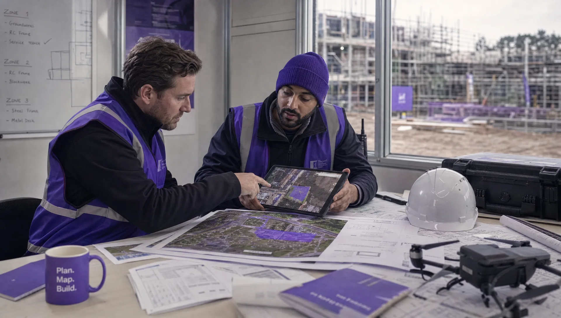 How to Start a Drone Mapping Business With a Clear Workflow →
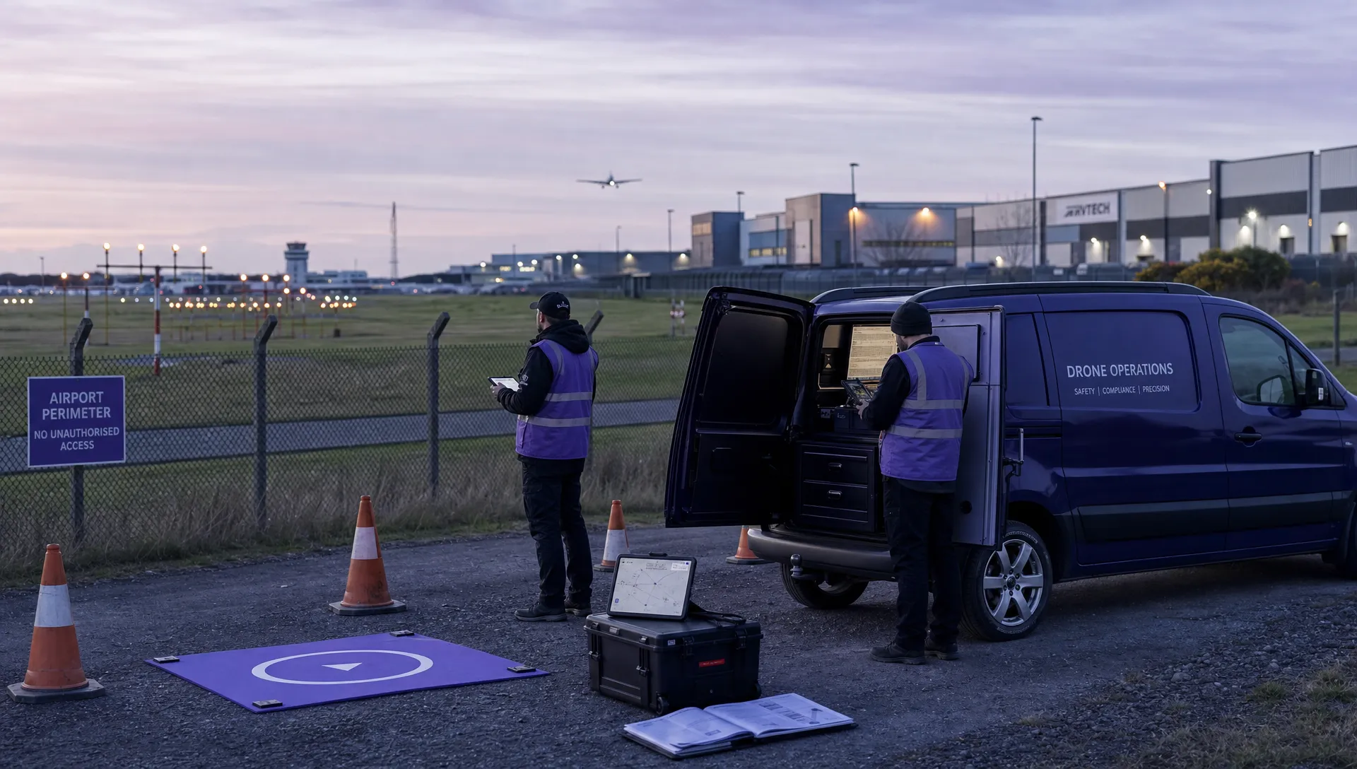 Class C Airspace Drone Rules for Commercial Flights →
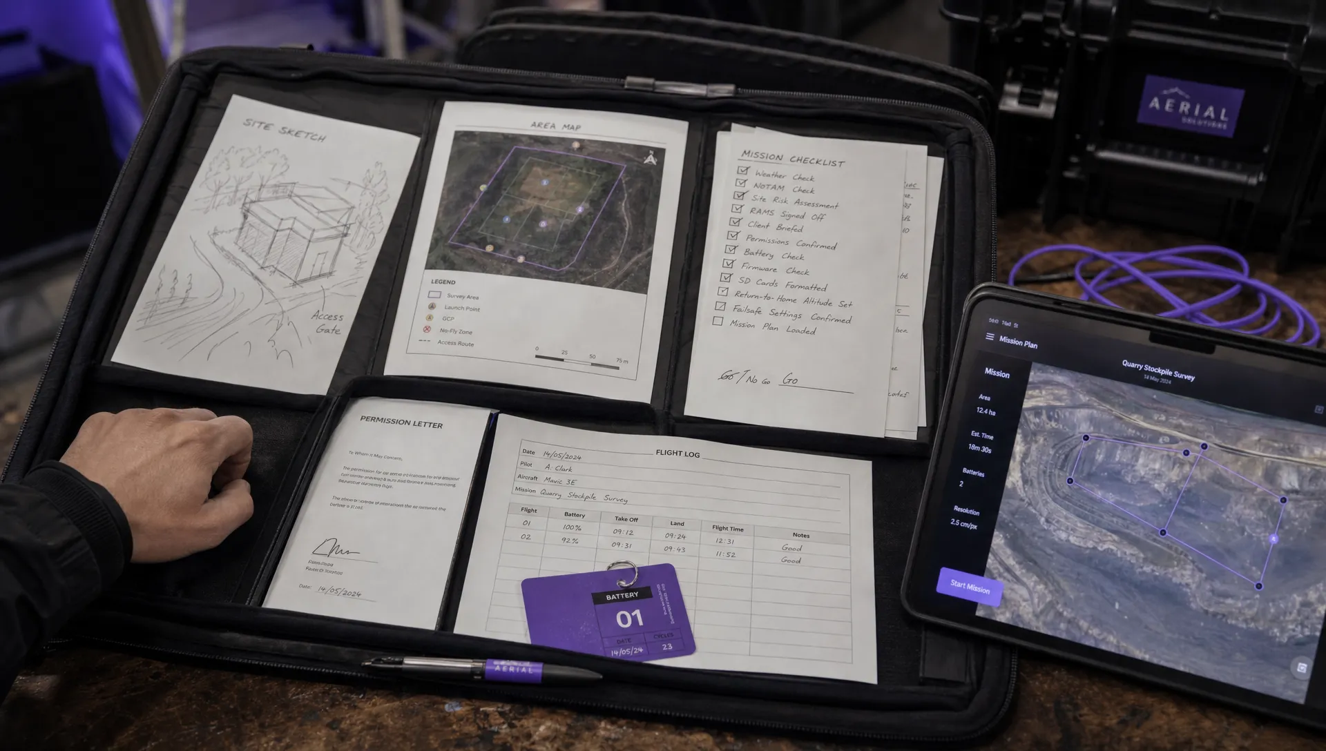 How to Create a Drone Job Pack for Every Mission →
 FAA Small UAS Rule: Key Requirements for Operators →
 How to Build a Drone Pilot Flight Log That Is Audit Ready →
 FAA Drone Licence Requirements for Commercial Pilots →
 FAA BVLOS Waivers Granted: What Successful Cases Show →
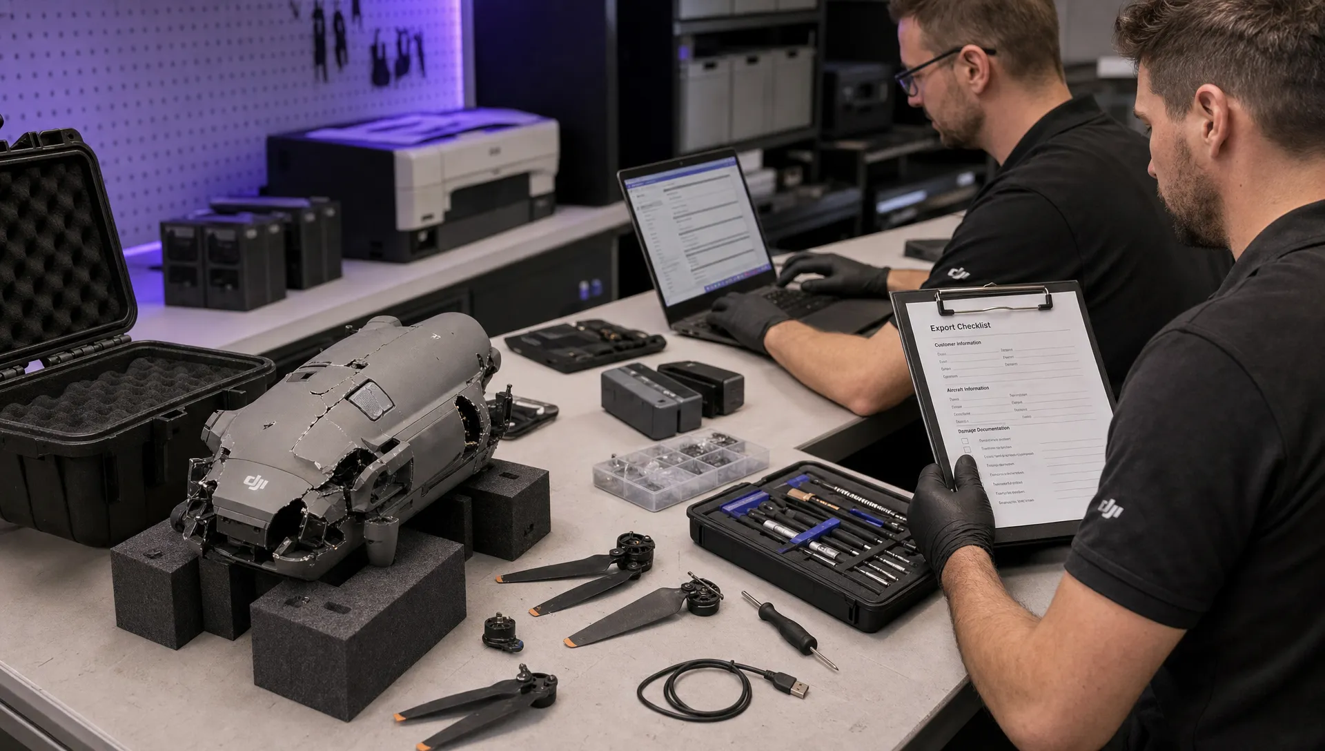 How to Export DJI Flight Logs for Incident Reviews →
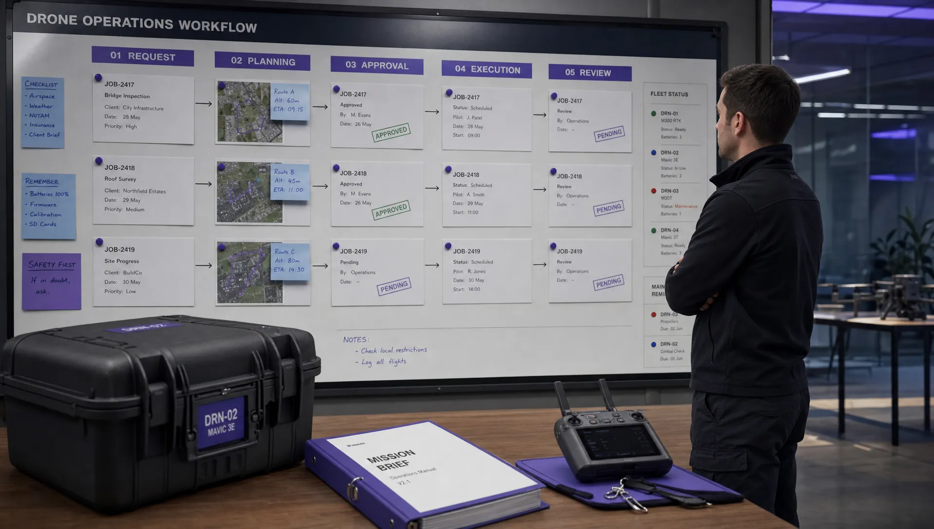 Drone Safety and Legal Duties for Business Operations →
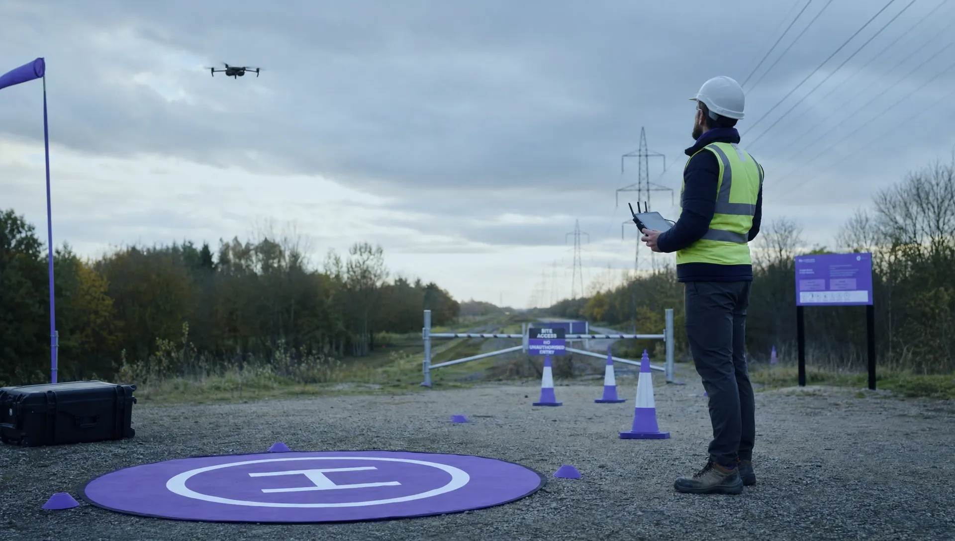 EASA Drone Regulations: Open, Specific and Certified Categories →