Jun 1st 2026
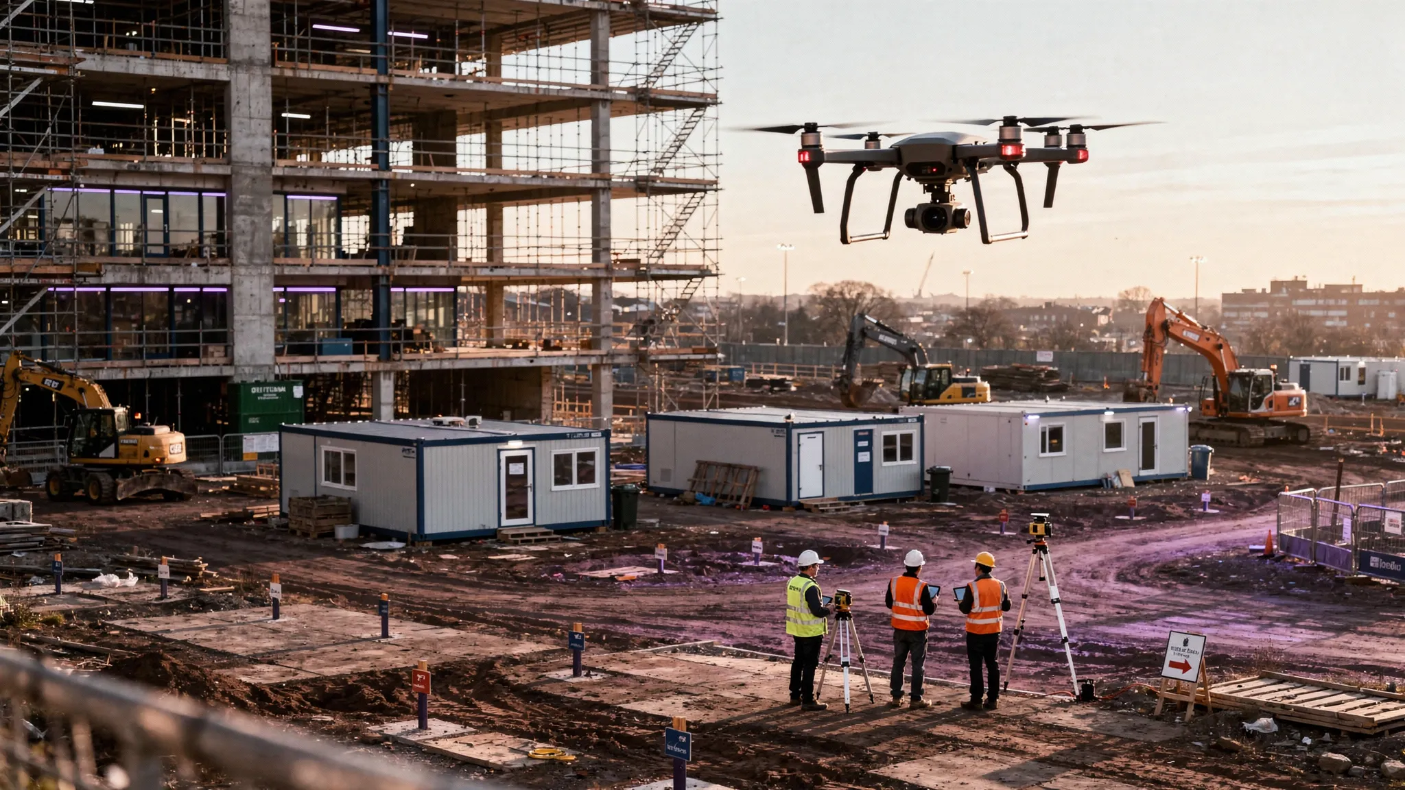
Drone Inspections: How to Plan Safer, Faster Site Visits
Plan safer, faster drone inspections with practical site visit workflows for risk assessment, airspace checks, data capture and flight logging.
Plan safer, faster drone inspections with practical site visit workflows for risk assessment, airspace checks, data capture and flight logging.
UK drone survey price ranges for commercial projects, with cost factors, quote tips and examples for mapping, roofs, utilities and sites.
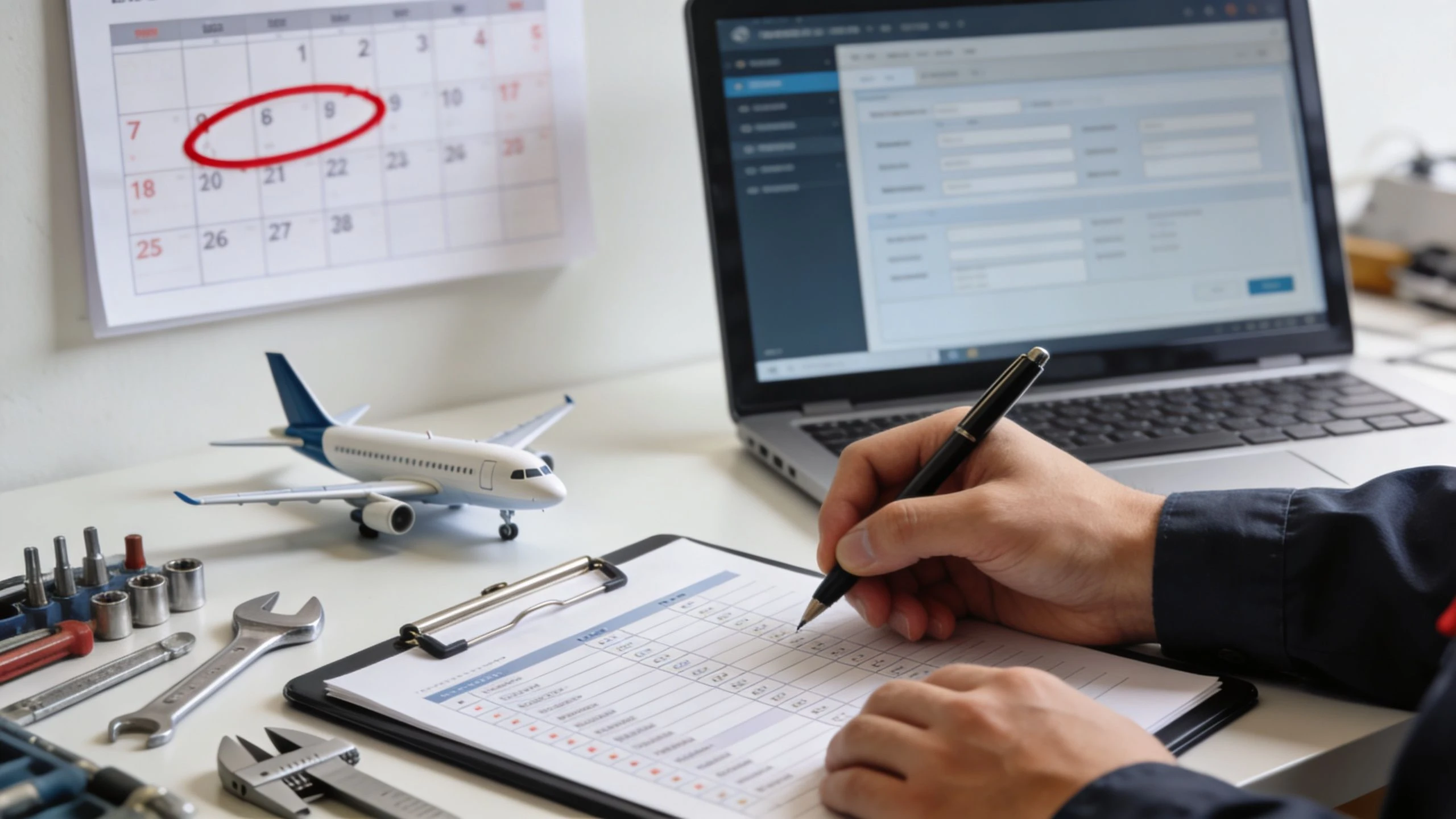
Faa inspection authorization renewal - Confidently renew your 2026 FAA inspection authorization. Our guide details eligibility, activities, IACRA forms, &
Our 2026 guide on drone services pricing covers cost drivers, pricing models, and rates for photography, mapping, and inspections. Price with confidence.
Discover the complete list of dronedeploy supported drones for 2026 and choose the ideal aircraft for mapping and inspections.
Discover how to master UAV for mapping with our guide. Learn expert strategies for drone selection, data capture, and processing for high-accuracy results.
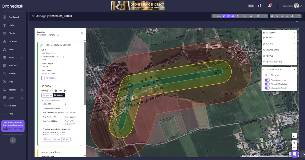
The rebuilt Dronedesk site plan turns complex SORA and BVLOS drone flight planning into a minutes-long process with integrated population data, automated risk calculations, and one-click regulatory reports.
Explore the top 10 commercial applications for drones in 2026. This guide covers industries from inspection to agriculture, detailing ROI and workflows.
Master professional drone data collection. This guide covers mission planning, flawless data capture, and processing for high-value client deliverables.
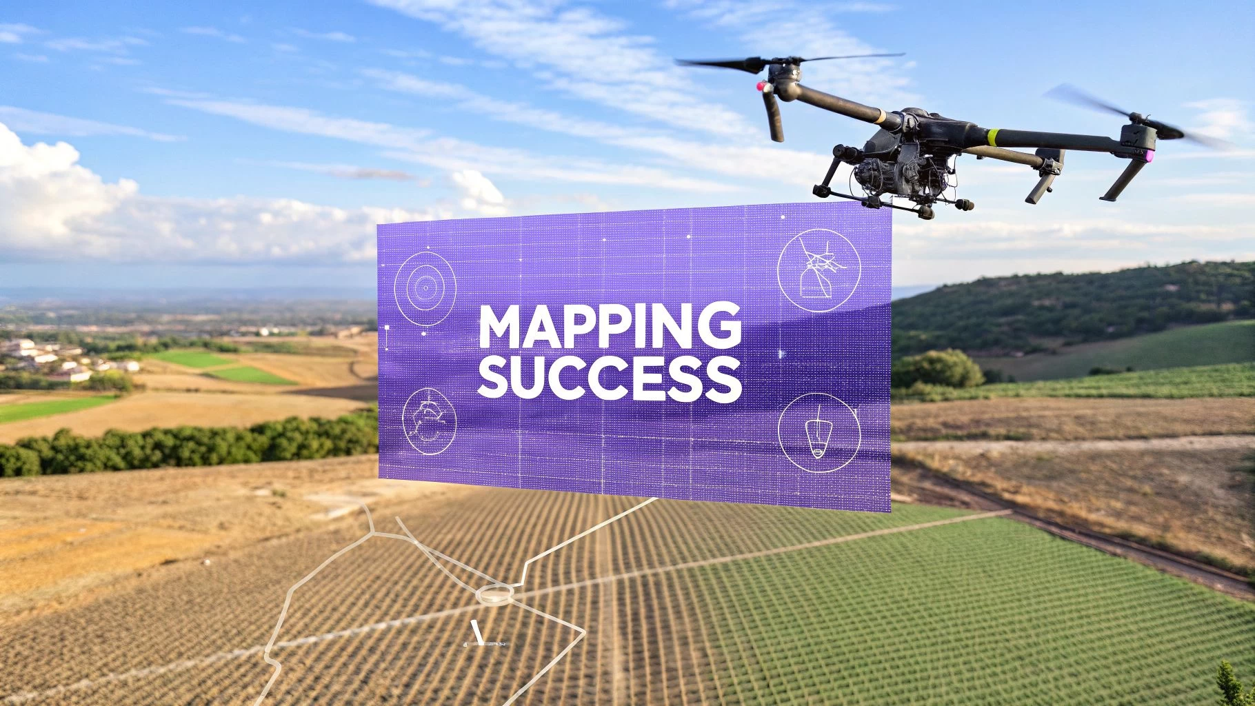
Discover how drone mapping services turn aerial data into actionable insights for construction and surveying. Start leveraging precise maps today.