Drones in the fire service - Transforming Emergency Response
Drones are now the incident commander's indispensable 'eye in the sky', delivering real-time aerial intelligence that was, frankly, impossible to get just a few years ago. This technology completely changes the game for situational awareness, letting teams make faster, safer, and smarter decisions when chaos is breaking out on the ground.
The New Front Line in Firefighting
Think about directing a complex firefighting operation from the street. You’re trying to piece together a mental map from frantic radio calls, with thick smoke blocking most of your view. For decades, that was the best we could do.
Now, imagine launching a drone and seeing a live, bird's-eye view of the entire scene streamed directly to your tablet. This isn't some futuristic fantasy; it’s rapidly becoming the new standard for fire departments everywhere.

This shift is just as significant as the move from horse-drawn engines to motorized trucks. A drone, or Unmanned Aerial Vehicle (UAV), acts as a powerful force multiplier. It turns a chaotic, unpredictable environment into a manageable operation fed by clear, actionable data. It's like giving a quarterback the ability to see the entire field before making a game-winning throw.
From Gadget to Foundational Tool
It wasn’t long ago that drones were seen as a niche gadget, maybe a novelty. Today, they've become a foundational tool for emergency response. In the US alone, more than 900 state and local emergency service agencies now use drones, and a huge chunk of those are dedicated to fire and EMS. Their ability to get up in the air in minutes and go where people can't makes them essential.
This technology provides immediate, life-saving answers to the questions every commander is asking:
- Where is this fire heading?
- Are there hidden hotspots we can't see from the ground?
- What’s the safest way in and out for my crews?
- Is anyone trapped or needing immediate help?
By delivering this crucial intelligence, drones have moved beyond being a "nice-to-have" accessory. They are now a core part of modern firefighting strategy, directly helping to save lives, protect property, and most importantly, keep firefighters safe from unseen dangers.
Here’s a quick breakdown of how these capabilities translate into direct operational benefits.
Core Drone Capabilities for Fire Service Operations
| Drone Capability | Primary Application | Operational Benefit |
|---|---|---|
| Situational Awareness | Live video feed of the incident scene | Provides a complete overview for better command decisions. |
| Thermal/IR Imaging | Identifying hotspots, locating victims | Sees through smoke to guide interior crews and find trapped individuals. |
| 3D Mapping/Modeling | Pre-incident planning and post-incident analysis | Creates accurate models of structures for training and investigation. |
| Hazardous Materials Monitoring | Detecting chemical plumes and leaks | Allows for remote assessment of HazMat scenes, keeping personnel safe. |
| Search and Rescue (SAR) | Locating missing persons in large areas | Covers vast terrain quickly, day or night, to find people faster. |
| Overwatch | Monitoring crew positions and safety | Tracks firefighter locations to ensure accountability and prevent injuries. |
These core functions are just the beginning. The benefits extend far beyond the fireground. Departments are now using UAVs for pre-planning building inspections, post-incident damage assessments, and creating ultra-realistic training scenarios.
This guide will walk you through the specific applications, operational workflows, and best practices for adding this powerful technology to your department’s arsenal. Understanding these fundamentals is the first step toward building a safer, more effective fire service.
How Drones Transform Fireground Operations
On a fireground, information is just as critical as water. The calls an incident commander makes in the first few minutes can write the story for the entire operation. This is where drones come in, acting as a direct extension of the commander’s eyes and ears, completely changing how crews tackle dangerous and unpredictable scenes.
Picture a large commercial building on fire in the middle of the night. From the street, crews see thick smoke billowing from the roof, but they can't tell where it’s coming from. Is the fire contained to one spot, or has it ripped through the entire attic? Sending firefighters onto that roof to cut a ventilation hole is a massive gamble if you don't know what’s burning underneath.
This is the exact moment a drone with a thermal camera changes the game. In less than 60 seconds, a pilot can get the drone in the air and stream a crystal-clear thermal image of the entire roof back to command.
This isn't just a picture; it's battlefield intelligence. The thermal view reveals the hidden skeleton of the fire, showing commanders exactly where it's hottest, where it's spreading, and which parts of the roof are about to give way.
This kind of immediate insight allows for a precise, surgical response instead of one based on guesswork. It’s the difference between knowing and hoping.
Pinpointing Hidden Dangers in Structure Fires
In any building fire, the biggest threats are usually the ones you can’t see. Fire loves to run through hidden spaces—inside walls, above ceilings, and through voids—just waiting to erupt and cut off a crew's escape route. Drones armed with thermal sensors give firefighters a kind of X-ray vision.
By making a quick pass around the building, a drone can:
- Identify Hotspots: Pinpoint the exact source of heat behind a wall, letting interior crews know precisely where to open up and hit the fire.
- Assess Structural Integrity: Spot superheated steel beams or roof trusses that are moments from collapse, giving the commander time to pull everyone out before the roof comes down.
- Track Fire Progression: Watch in real-time as the fire moves through the structure, helping predict its next move and get resources in place ahead of it.
This is a massive advantage in big, sprawling buildings like warehouses or apartment complexes, where the true size of the fire can be easily misjudged from the ground. A quick aerial scan gives a complete picture that would otherwise take multiple crews precious minutes to piece together.
Taming Wildfires with Aerial Intelligence
Wildfires present a whole different beast of a problem. These incidents can chew through thousands of acres of rough, inaccessible terrain, making it impossible for crews on the ground to get the full picture. Drones provide that crucial bird's-eye view needed to build a safe and effective game plan.
For wildfires, drones are used to:
- Map Fire Progression: Quickly map the fire's edge and direction of travel, feeding critical data to teams trying to predict its path and establish containment lines.
- Identify Spot Fires: Easily spot small fires that have jumped ahead of the main fire front, allowing for a rapid attack before they explode into new fronts.
- Locate Safe Access Routes: Scout the terrain to find the safest and fastest routes for crews and heavy equipment to reach the fire line.
This constant flow of intel from the air lets command deploy resources much more effectively, protecting homes and lives while keeping firefighters out of harm's way. The value here isn't just theoretical; it's driving major investment. The global firefighting drone market is climbing fast, from USD 1.31 billion in 2022 to a projected USD 2.76 billion by 2030. Agencies are clearly seeing the ROI.
Specialized Missions Beyond the Flames
The drone's usefulness in the fire service doesn't stop when the fire is out. For hazardous materials (HazMat) calls, a drone with special sensors can fly right into a chemical plume to identify what’s in the air and track its spread—all from a safe distance. This keeps responders out of the hot zone while they gather the data they need.
Then there’s search and rescue. A drone can sweep over acres of dense woods or an unstable collapse zone in minutes, a job that would take ground teams hours. Its thermal camera can pick up a person's heat signature from hundreds of feet in the air, day or night, dramatically cutting down the time it takes to find someone who is lost or hurt. You can find out more about these specialized missions in our guide on how drone operations are transforming emergency services.
Building Your Department's Drone Program
Getting a drone program off the ground takes more than just buying a drone. It demands a solid foundation built on clear procedures, tough training, and the right gear. For any department thinking about this, hammering out a detailed plan is the single most important step. It's what makes a program effective, safe, and built to last.
The first cornerstone is writing your Standard Operating Procedures (SOPs). These aren't just suggestions; they are the official playbook for every single mission. Your SOPs need to cover everything from pre-flight checklists and pilot duties to emergency plans and the chain of command. This ensures every operator is on the same page, acting to a unified, professional standard.
A structured approach is also your best friend when navigating Federal Aviation Administration (FAA) regulations. Departments usually operate under specific rules, often needing a Certificate of Authorization (COA) or following Part 107 guidelines for public safety. Clear SOPs don't just prove you're compliant; they build a culture of safety from day one.
Establishing a Solid Training Foundation
A drone is only as good as the pilot flying it. That's why pilot training and certification are non-negotiable. A proper training program has to go way beyond basic flying skills and throw pilots into the real-world scenarios they'll actually face on the job.
Initial training absolutely must cover:
- FAA Part 107 Certification: This is the baseline license for most public safety drone operations. It covers the rules of the sky, weather, and operational limits.
- Basic Flight Maneuvers: Pilots need to master takeoffs, landings, and flying in different conditions before they even think about complex tasks.
- Payload Operation: You need hands-on time with the actual sensors you'll be using, like thermal and zoom cameras, to learn how to read the data correctly when the pressure is on.
Advanced training then takes that foundation and cranks up the stress. Firefighters should be practicing maneuvers around obstacles, reading thermal signatures in live-fire drills, and coordinating with crews on the ground during mock incidents. For a deeper dive, our comprehensive guide can walk you through creating an effective fire department drone program from scratch.
Selecting the Right Hardware and Payloads
Picking the right drone and payload is like choosing the right tool for the job. There’s no magic bullet here. The best choice is dictated entirely by your department’s specific needs and the environment you work in.
Think of it this way: you wouldn’t take a ladder truck to a brush fire. Similarly, the agile multirotor drone ideal for navigating a tight urban alley is different from the fixed-wing model needed to map a 1,000-acre wildfire.
Let's look at the common types:
- Multirotor Drones: These are the workhorses of the fire service. They can hover in place, making them perfect for getting a detailed look at a building, providing overwatch for the crew, or even dropping small payloads.
- Fixed-Wing Drones: These look and fly like small airplanes, built for endurance and covering a lot of ground. They're the go-to for mapping huge wildfires or for long search and rescue missions over vast areas.
Remember, the drone itself is just the platform; the real power comes from the sensors it carries. A thermal camera is an absolute must-have for seeing through smoke to find people and hotspots. A high-zoom RGB camera is just as critical for getting a close-up visual assessment from a safe distance.
This flowchart shows a typical workflow for getting a drone in the air on the fireground.

This process shows just how quickly a drone can be sent up to gather crucial intelligence, turning an unknown situation into a well-informed, strategic operation.
Of course, getting a program started means finding the money. Exploring opportunities like state grants for fire departments can make all the difference. This growing support shows just how valuable this technology has become. In 2023, North America accounted for about 34% of the global firefighting drone market, which was valued at USD 1.8 billion. The market is projected to grow by 11% every year through 2032, largely because government funding is helping more agencies get their hands on this tech.
Managing Your Fleet and Mission Data
When your drone program grows from a single aircraft to a whole fleet, the complexity blows up. You’re no longer just managing one drone; you're juggling multiple pilots with different certifications, aircraft with their own maintenance schedules, and a mountain of flight data from every single mission. This is exactly where that simple spreadsheet and paper log system you started with begins to fall apart, creating real risks for compliance and just getting the job done efficiently.
The answer is a centralized drone operations management platform. Think of it as the digital command center—or air traffic control tower—for your entire aerial operation. It pulls every moving part—pilots, hardware, flight plans, and data—into one organized, easy-to-access system. This isn't just about making life easier; it's about keeping control and accountability as your program gets bigger.
A platform like Dronedesk automates the tedious but absolutely vital tasks that can bog down a fire service drone team. It handles everything from pre-flight checks and airspace awareness to automated flight logging and tracking battery cycles. In an emergency where every second is critical, this kind of automation is a game-changer.
From Chaos to Coordinated Command
Without a central system, managing your fleet is a constant scramble. Who flew that mission? Has drone #3 had its required monthly inspection? Is our COA documentation up to date? These questions get harder and harder to answer as you fly more. A dedicated management platform brings immediate clarity.
A centralized platform turns your data from a messy pile of log files and reports into a strategic asset. It gives you the clear, actionable insights needed for everything from post-incident reviews to justifying budget requests to expand the program.
This organized approach is what keeps you compliant and operationally ready. It makes sure every pilot is certified, every drone is airworthy, and every flight is properly documented, creating a solid, defensible record of your operations.
Key Functions of a Drone Management Platform
A solid management system takes the administrative weight off your pilots' shoulders, freeing them up to focus on flying. These platforms usually come with a whole suite of integrated tools built for professional outfits.
Core features typically include:
- Automated Flight Logging: Captures critical flight data like duration, location, and pilot info automatically, which means no more manual data entry and fewer mistakes.
- Equipment and Maintenance Tracking: Keeps tabs on the usage and health of every drone, battery, and sensor in your fleet, and sends out automatic alerts when maintenance is due.
- Pilot and Compliance Management: Stores pilot certifications, tracks flight hours, and makes sure all personnel records are current and in line with FAA regulations.
- Airspace and Weather Intelligence: Pulls real-time airspace data (like LAANC authorizations) and detailed weather forecasts right into the mission planning workflow.
- Mission Planning and Reporting: Gives you the tools to create detailed pre-flight plans and generate comprehensive reports for after-action reviews and stakeholder presentations.
The image below gives you a sense of what a Dronedesk dashboard looks like, offering a clear overview of upcoming missions and the status of your fleet.

This level of organization ensures that incident commanders have all the necessary information right at their fingertips, which leads to safer, more effective deployments.
Boosting Efficiency and Ensuring Accountability
The impact on efficiency is pretty much immediate. Some estimates show a dedicated platform can slash the administrative paperwork tied to drone operations by up to 50%. For a busy fire department, that reclaimed time is gold. It means more time for training, equipment prep, and running through scenarios.
This kind of system also builds a powerful layer of accountability. Every action, from a pre-flight checklist to a post-mission report, is logged and tied to a specific pilot and aircraft. This complete operational history is essential for internal reviews, training improvements, and showing your professionalism to municipal leaders or oversight bodies. For any department serious about getting the most out of its aerial assets, learning more about the principles of drone fleet management is a vital next step.
At the end of the day, using a platform like Dronedesk is like having a dedicated flight operations manager and an administrator rolled into one. It ensures that as your use of drones in the fire service grows, your program stays safe, compliant, and incredibly effective. It's what turns a collection of drones into a truly professional, seamlessly integrated part of your emergency response toolkit.
Measuring the Impact of Your Drone Program
So, how do you prove that a new drone program is actually worth the investment in gear, training, and time? It takes more than just cool stories from the field; you need hard data to back it up. Measuring the real-world impact of your drones is fundamental to justifying budgets, showing value to city council or other stakeholders, and making smart decisions about where the program goes next.
The trick is to move past anecdotes and get focused on concrete numbers. Think of it like a patient's chart in the ER—you need vital signs to know what’s going on. For your drone program, these vitals are your Key Performance Indicators (KPIs). These are the specific, measurable data points that prove how your eyes in the sky are improving operations on the ground.
Defining Your Key Performance Indicators
To get an accurate picture of success, you have to track metrics that line up with your department’s core goals. Is the main objective to reduce risk to your crews, speed up the initial scene size-up, or get resources where they need to be more effectively? Your KPIs should answer these questions directly.
Here are a few of the most powerful KPIs for any fire service drone program:
- Time to Initial Scene Size-Up: Start the stopwatch from the moment you arrive on scene to when the incident commander gets a complete aerial overview. A drone can often deliver this critical intel in under 90 seconds—that’s a lifetime ago compared to waiting for ground crews to report back from all sides of a structure.
- Reduction in Personnel Exposure: Keep a log of every time a drone was sent into a "no-go" zone instead of a firefighter. This could be an unstable roof, a HazMat plume, or a collapsed structure. This KPI is a direct measure of how you're using technology to keep your people safer.
- Time to Locate Hotspots or Victims: On a structure fire or a search and rescue call, how long did it take the drone’s thermal camera to pinpoint a hidden pocket of fire or find a missing person? Compare that to how long it might have taken with traditional methods.
This is where you turn a drone program from a perceived "expense" into a proven "investment." Solid data doesn't just show a Return on Investment (ROI) in dollars and cents; it shows it in minutes saved and, ultimately, in lives protected.
From Data to Demonstrable Value
This numbers-first approach is catching on everywhere. Look at China's firefighting drone market—it's exploding, with analysts forecasting a 14.9% compound annual growth rate clear through to 2035. That kind of growth is built on proven benefits like faster response times and major cost savings, with some studies pointing to 40% lower operational costs for incidents where drones are deployed.
Of course, managing all this requires a solid system. A platform like Dronedesk makes this simple by handling airspace intelligence and team coordination, which can cut down administrative busywork by up to 50%. You can dig deeper into this expanding market by reading the full report on the firefighting drone market.
This is where a good drone management platform really earns its keep—it gathers performance data for you automatically. Every flight log, maintenance check, and mission report is captured, building a rich dataset over time.
You can then pull this information into clean, compelling reports. These aren't just for your own records; they are your most powerful tool for annual budget meetings, presentations to city leadership, and internal reviews. They provide the clear, undeniable evidence of your program's success and justify its continued funding and growth.
Before we move on, let's break down some of the most effective KPIs your department can start tracking today.
Key Performance Indicators for a Fire Service Drone Program
The table below outlines some core metrics that fire departments can use to track the success of their drone operations and clearly demonstrate the value they bring to the community and the department.
| Metric Category | Key Performance Indicator (KPI) | How to Measure |
|---|---|---|
| Operational Efficiency | Time-to-Target (e.g., locate victim, hotspot, or point of origin) | Log the time from drone launch to the moment the target is identified via the drone's feed. Compare this to estimated times for traditional ground-based methods. |
| Operational Efficiency | Time-to-Complete Scene Size-Up | Measure the time from arrival on scene to the incident commander confirming a comprehensive 360° aerial view. Track this across different incident types. |
| Firefighter Safety | Reduction in Personnel Hours in IDLH Environments (Immediately Dangerous to Life or Health) | Quantify the number of incidents and the duration where a drone was used for initial entry or assessment in a hazardous area, negating the need for a firefighter to enter. |
| Firefighter Safety | Avoidance of Structural Hazards | Document each instance a drone identified a significant structural hazard (e.g., roof collapse risk, unstable walls) before personnel were committed to that area. |
| Resource Management | Accuracy of Resource Deployment | Post-incident, review whether the initial resource allocation (personnel, apparatus) matched the reality revealed by the drone's overview. Track improvements over time. |
| Program ROI | Cost Avoidance (Personnel Injury, Equipment Damage) | Assign an estimated cost value to incidents where a drone prevented a potential injury or damage to expensive equipment (e.g., an aerial apparatus). |
| Program ROI | Reduction in Scene Time | For comparable incident types, measure the total on-scene time for drone-assisted responses versus non-drone responses. Shorter scene times reduce operational costs. |
| Training & Proficiency | Average Pilot Proficiency Score | Implement regular skills assessments and flight drills, scoring pilots on a standardized scale. Track the average score across the team to ensure readiness. |
By consistently tracking these KPIs, you create a powerful narrative supported by objective facts. This data-driven story is essential for securing the resources needed to not only sustain but also expand the life-saving capabilities of your drone program.
What's Next for Fire Service Drone Technology?
The rapid pace at which fire departments are adopting drones is really just the opening chapter of a much bigger story. What we have now is a powerful eye in the sky, but the next wave of innovation is set to embed these tools even deeper into the DNA of emergency response. We're on a path that moves away from manual deployment and toward fully automated, intelligent systems.
This whole evolution is being driven by ongoing advancements in robotics, which are constantly redrawing the lines of what's possible in the field.
Imagine the tones drop for a structure fire. Before the crew even has their gear on, a drone is already lifting off from a weatherproof housing on the station roof. This is the idea behind drone-in-a-box (DiaB) systems, and they're poised to dramatically cut down response times by getting eyes on scene the second a call comes in. These systems manage everything on their own—launch, landing, and charging—making sure a drone is always ready to go.
Smarter Drones and Autonomous Operations
The next huge leap is all about artificial intelligence (AI) and machine learning. In the near future, fire service drones will do a lot more than just send back a video feed; they'll be actively analyzing that feed in real-time.
AI algorithms will be capable of spotting and flagging hotspots on their own, tracking a fire's spread without a pilot's input, and even picking out a person in a complex search and rescue grid. This frees up pilots and incident commanders to focus on the big picture and strategy instead of just joystick movements. The drone essentially becomes a proactive partner, delivering actionable insights, not just raw data.
The goal is to shift from a "human-in-the-loop" model, where a pilot actively flies the drone, to a "human-on-the-loop" system. Here, the drone flies its mission autonomously, with the human operator supervising and stepping in to make high-level command decisions.
The Power of Drone Swarms
When you're dealing with a large-scale incident like a wildfire or a major hazmat situation, one drone's perspective often isn't enough. The future here lies in drone swarms—think multiple drones working together as a single, coordinated unit.
These swarms will unlock some incredible capabilities:
- Creating a Live 3D View: By positioning themselves at various angles, a swarm could generate a real-time, three-dimensional model of the entire incident, giving commanders unparalleled situational awareness.
- Relaying Communications: In remote areas with spotty radio coverage, some drones in the swarm could function as mobile communication relays, creating a robust, on-the-fly network for ground crews.
- Executing Complex, Parallel Tasks: Imagine one drone providing thermal overwatch while another zooms in for a detailed structural assessment, all happening simultaneously and coordinated by the swarm's central intelligence.
Getting ready for these advancements starts today. By mastering current technology and putting solid operational and management programs in place now, fire departments can build the foundation they need to seamlessly integrate these powerful new tools as they become available. It's about positioning your agency to lead the way in public safety for years to come.
Got Questions? We've Got Answers
When fire service leaders start looking into a drone program, a lot of the same questions pop up. It's a new frontier for many, so let's tackle some of the most common ones head-on and clear up what it really takes to get drones flying for your department.
What Are the Biggest Hurdles and How Much Training is Really Needed?
Believe it or not, the hardest part of starting a drone program usually isn't the technology. The real challenge is building the human framework around it. This means hammering out solid Standard Operating Procedures (SOPs), getting to grips with FAA regulations, and, most importantly, creating a training program that goes beyond the basics. Without that foundation, the fanciest drone in the world is just an expensive paperweight.
Getting a pilot certified starts with passing the FAA's Part 107 exam, which is all about aeronautical knowledge. But that's just the ticket to the dance. Real, mission-ready competence comes from 40-60 hours of hands-on flight time, running through drills that mimic actual emergencies, and mastering specialized tools like thermal cameras. The goal is to make sure your pilots are not just licensed, but truly ready for anything.
The real challenge isn’t just learning to fly; it's learning to think like an incident commander with a bird's-eye view. You want the drone's data to flow seamlessly into decision-making on the fireground, even when everything is hitting the fan.
Are Drones Too Expensive for Smaller Departments? And What About Bad Weather?
There's a persistent myth that drone programs are a luxury only big-city departments can afford. That's simply not true. You can often get a very capable starter package, thermal camera and all, for less than the cost of outfitting a single firefighter in brand-new turnout gear. We see small and volunteer departments successfully tap into local grants, community fundraisers, and capital budgets all the time. This technology is more accessible than you think.
Weather is another valid concern. No one wants to launch an expensive asset into a storm. Most professional public safety drones can handle themselves pretty well in moderate rain and winds blowing 20-30 mph. But just like any aircraft, severe weather—think heavy downpours or gale-force winds—will keep them on the ground. Pilots are trained to be meteorologists on the fly, constantly assessing conditions and always making the safety-first call on whether it's good to go.
Ready to pull your entire drone operation together—from mission planning to compliance reports? Dronedesk is the end-to-end management platform built to help fire departments boost efficiency and safety. Spend less time on paperwork and more time on the mission. Explore what Dronedesk can do for you.
 BVLOS Drone Meaning and Why It Matters →
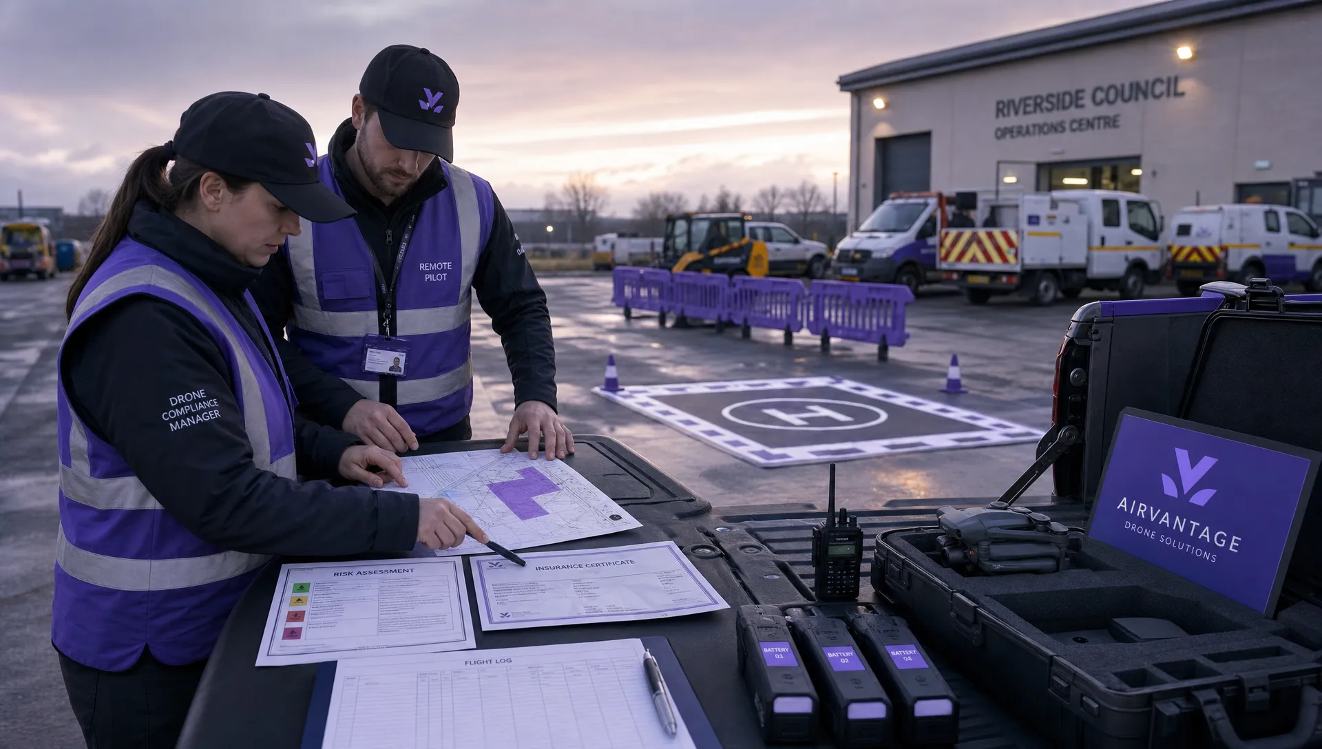 Drone Operation Regulations Explained for Businesses →
 How to Pass Your Drone Pilot License Test →
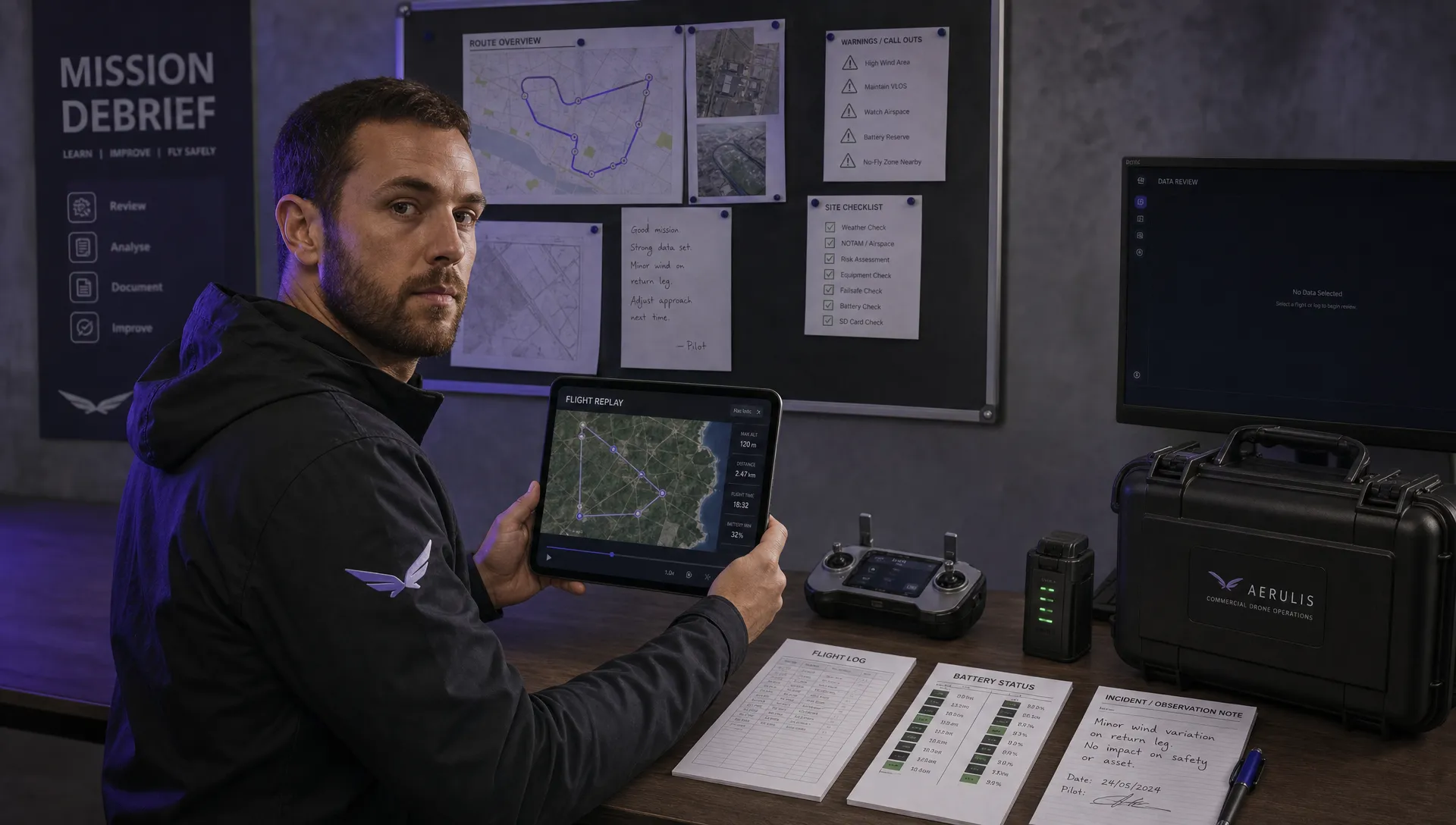 How to Review a DJI Flight Record After a Mission →
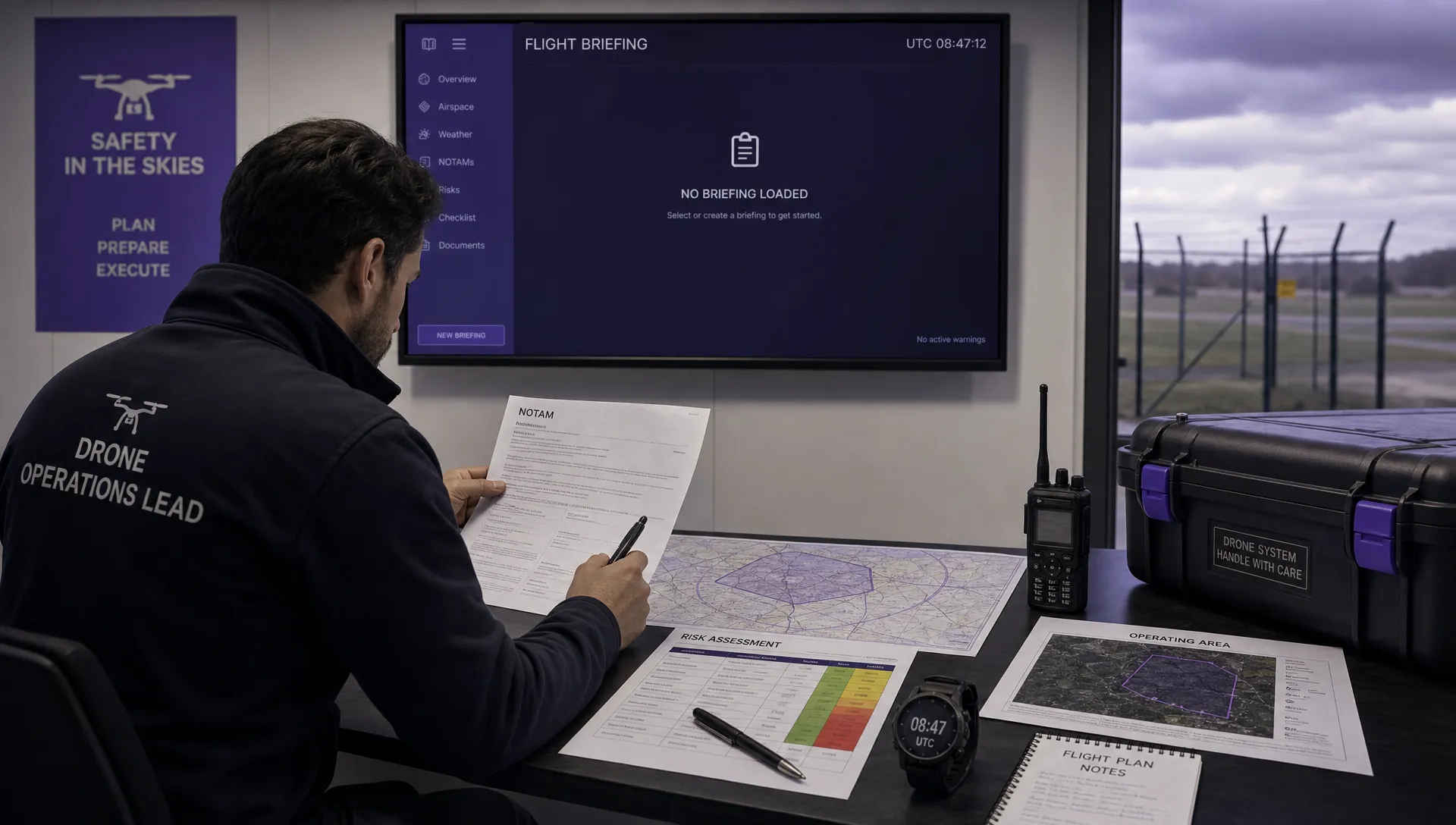 How to Check a Drone NOTAM Before You Fly →
 Part 108: What Drone Operators Should Expect →
 Beyond Visual Line of Sight BVLOS Explained →
 Drone Laws and Regulations Every Team Should Review →
 Current Drone Laws: What Changed in 2026? →
 JARUS SORA Explained in Plain English →