Explore dronedeploy supported drones for 2026
Choosing the right drone for your DroneDeploy workflow is critical for achieving accurate maps, detailed models, and efficient inspections. While DroneDeploy's platform is powerful, its true potential is only unlocked with a compatible aircraft. This guide serves as your definitive resource, detailing the specific DroneDeploy supported drones that professionals rely on every day. We move beyond simple lists, providing a deep-dive analysis of each model's capabilities, limitations, and specific controller or firmware requirements.
Understanding the diverse applications of drones, such as their role in facilitating efficient drones in engineering for modern site assessments, is crucial for selecting the right DroneDeploy-compatible model for your specific projects. This resource will help you match your mission's demands to the ideal machine.
Whether you're a surveyor demanding centimeter-level accuracy with the DJI M350 RTK, an inspector using the thermal data from a DJI M3T or Anzu Raptor T, or a site manager needing quick progress updates with a DJI Air 2S, this resource will help you select the ideal hardware. Our goal is to help you maximize your investment in the DroneDeploy ecosystem and improve your entire operation from flight to final deliverable.
1. DJI Mavic 3 Enterprise (M3E)
The DJI Mavic 3 Enterprise (M3E) represents a significant step forward for portable, high-accuracy mapping. It’s frequently recommended by DroneDeploy as a top-tier option among their supported drones due to its powerful 20MP 4/3” sensor and mechanical shutter. This combination minimizes motion blur, ensuring crisp imagery essential for creating detailed photogrammetric models and orthomosaics. Its compact, foldable design makes it a workhorse for teams needing rapid deployment in the field without sacrificing data quality.
Feature & Compatibility Insights
For survey-grade results, the M3E’s optional RTK module provides centimeter-level accuracy, and DroneDeploy fully supports this for real-time corrections. A critical operational note is that autonomous flight with DroneDeploy requires the DJI RC Pro Enterprise controller; the standard consumer-grade controller is not compatible. While the M3E also features a telephoto camera, DroneDeploy's mapping missions exclusively use the main wide-angle camera. This focus on a single, high-quality sensor simplifies mission planning and processing.
For a deeper dive into integrating DJI aircraft into your operations, exploring the nuances of DJI drone mapping workflows can provide valuable context. The M3E’s blend of portability and precision makes it a standout choice for professionals who need a reliable, efficient tool for frequent site surveys and inspections.
| Feature | Supported by DroneDeploy |
|---|---|
| Photogrammetry | Yes (20MP 4/3" Sensor, Mechanical Shutter) |
| RTK/PPK | Yes (RTK module required; PPK supported) |
| Video Capture | Yes (Manual flight mode) |
| Required Controller | DJI RC Pro Enterprise |
Visit the official product page: https://enterprise.dji.com
2. DJI Mavic 3 Thermal (M3T)
The DJI Mavic 3 Thermal (M3T) builds on the compact Mavic 3 platform by adding a capable 640×512 radiometric thermal sensor. This makes it a primary choice among DroneDeploy supported drones for dual-purpose missions, blending high-quality visual mapping with thermal inspection. It is an ideal tool for public safety, solar farm inspections, and utility monitoring, allowing teams to capture both standard orthomosaics and detailed thermal data in a single flight, fully supported by DroneDeploy's flight and processing engines.

Feature & Compatibility Insights
DroneDeploy fully supports the M3T’s radiometric thermal camera for creating detailed thermal maps. A key operational requirement is the use of the DJI RC Pro Enterprise controller for autonomous flight; standard controllers are not compatible. While the M3T has both a wide and telephoto visual camera, DroneDeploy's automated mapping missions use the 48MP wide-angle camera. For precise geotagging of both thermal and visual data, the optional RTK module is fully compatible. The thermal sensor's resolution is excellent for most inspection work, although it may be a limiting factor for very long-range or highly detailed thermography tasks.
The M3T's ability to consolidate thermal and visual data collection into one efficient platform makes it a valuable asset for teams looking to expand their service offerings without managing multiple aircraft.
| Feature | Supported by DroneDeploy |
|---|---|
| Photogrammetry | Yes (48MP Wide-Angle Camera) |
| Thermal Mapping | Yes (640×512 Radiometric Sensor) |
| RTK/PPK | Yes (RTK module required; PPK supported) |
| Required Controller | DJI RC Pro Enterprise |
Visit the official product page: https://enterprise.dji.com
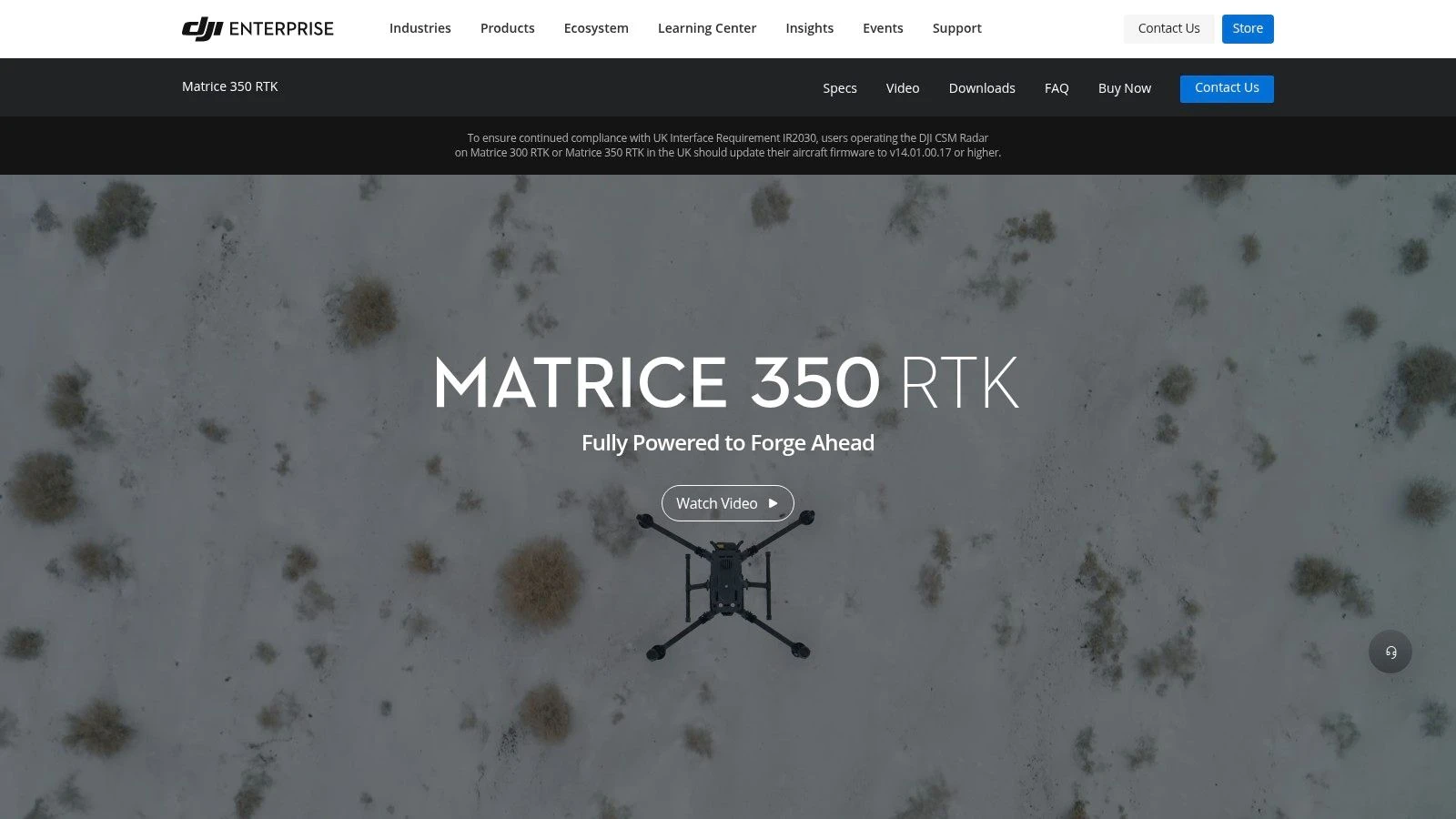
3. DJI Matrice 350 RTK (M350 RTK)
The DJI Matrice 350 RTK (M350 RTK) is DJI's flagship heavy-duty enterprise platform, built for large-scale surveys and demanding inspections. It stands out in the list of DroneDeploy supported drones as a go-to for professionals requiring maximum flight time and payload flexibility. Its IP55 weather rating and hot-swappable batteries make it exceptionally reliable for continuous operations in challenging conditions, a key factor for mission-critical projects.
Feature & Compatibility Insights
DroneDeploy supports autonomous flight missions with the M350 when using the DJI RC Plus controller. The platform's real strength lies in its payload compatibility, including the Zenmuse P1 for photogrammetry and the H20/H20T for thermal and zoom inspections, all controllable within the DroneDeploy flight app. While the initial investment and payload costs are higher, the M350's stability and endurance deliver superior data quality over vast areas, justifying the expense for large-scale operations.
Effective management of such a powerful asset is vital; understanding the fundamentals of commercial drone management helps ensure operational efficiency and ROI. The M350 is the clear choice for teams needing a stable, scalable aerial workhorse.
| Feature | Supported by DroneDeploy |
|---|---|
| Photogrammetry | Yes (with Zenmuse P1 payload) |
| RTK/PPK | Yes (Built-in RTK; PPK supported) |
| Thermal/Zoom | Yes (with Zenmuse H20/H20T payloads) |
| Required Controller | DJI RC Plus |
Visit the official product page: https://enterprise.dji.com/matrice-350-rtk
4. DJI Matrice 300 RTK (M300 RTK)
The DJI Matrice 300 RTK (M300 RTK) is a proven enterprise workhorse known for its extensive payload ecosystem and robust performance. It remains one of the most widely used platforms in US commercial fleets, with mature, well-documented workflows fully supported by DroneDeploy. Its IP45 rating and six-direction obstacle sensing make it a dependable choice for complex missions in challenging conditions. The M300 RTK stands out for its payload flexibility, making it a versatile asset for diverse operations from detailed mapping to thermal inspections.

Feature & Compatibility Insights
DroneDeploy supports autonomous flights with the M300 RTK when paired with specific payloads like the Zenmuse P1 for photogrammetry or the H20/H20T for inspection tasks. A key operational requirement is using the DJI RC Plus controller; older controllers are not compatible for DroneDeploy missions. While its size presents greater logistical and operational complexity compared to smaller, foldable drones, its field-proven reliability is a major advantage. The large user base ensures extensive documentation and community experience are available for troubleshooting and optimizing workflows.
| Feature | Supported by DroneDeploy |
|---|---|
| Photogrammetry | Yes (with Zenmuse P1 payload) |
| RTK/PPK | Yes (Native RTK with supported payloads) |
| Video/Inspection | Yes (Manual flight or with H20/H20T payloads) |
| Required Controller | DJI RC Plus |
Visit the official product page: https://enterprise.dji.com
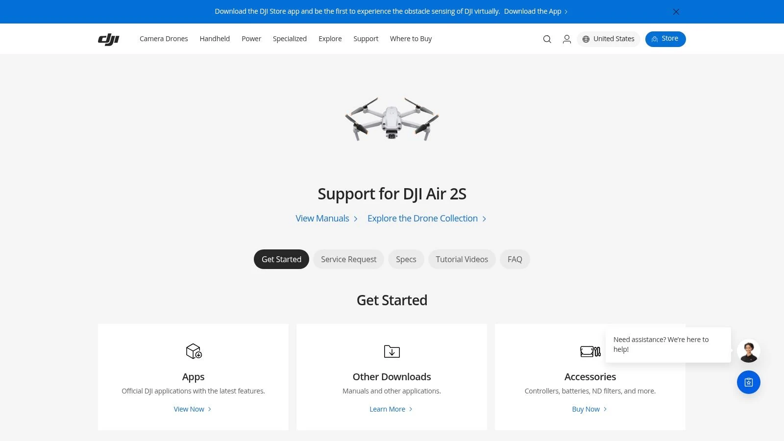
5. DJI Air 2S
The DJI Air 2S stands out as one of the most accessible entry points into aerial mapping with DroneDeploy. Its 20MP 1-inch sensor provides surprisingly robust image quality for its compact size, making it a popular choice for quick, small-scale site mapping and progress monitoring. As one of the consumer-grade DroneDeploy supported drones, it offers an excellent balance between cost, portability, and capability, especially for operators who need a lightweight and rapidly deployable solution.
Feature & Compatibility Insights
A key consideration for the Air 2S is that DroneDeploy's autonomous flight control is exclusive to iOS devices. Android users can upload imagery for processing but cannot execute automated missions. The drone also lacks a mechanical shutter, which can introduce minor rolling shutter distortion if flight conditions are not ideal. However, for many small projects like residential roof inspections or small construction sites, the data quality is more than sufficient. This drone’s low cost and simple operation make it a great backup or training aircraft for larger teams.
The Air 2S is a prime example of how consumer hardware can be integrated into professional workflows, especially when project requirements are straightforward. For insights on managing flight logs and data from consumer-grade drones, learning about drone log book software can help maintain compliance and organization.
| Feature | Supported by DroneDeploy |
|---|---|
| Photogrammetry | Yes (20MP 1" Sensor) |
| RTK/PPK | No |
| Video Capture | Yes (Manual flight mode) |
| Required Controller | Any standard Air 2S controller (iOS device required) |
Visit the official product page: https://www.dji.com/air-2s
6. DJI Phantom 4 Pro V2.0
The DJI Phantom 4 Pro V2.0 remains a trusted workhorse in the world of aerial mapping and a staple among DroneDeploy supported drones. Although a legacy platform, its enduring popularity stems from its reliable 20MP 1-inch sensor and mechanical shutter. This combination produces consistently high-quality, distortion-free imagery, making it an excellent choice for photogrammetry and generating accurate orthomosaics. Its stable flight performance and proven workflows mean survey teams can depend on it for predictable and precise results.
Feature & Compatibility Insights
The Phantom 4 Pro V2.0’s key advantage is its straightforward operation with DroneDeploy using standard iOS or Android mobile devices as controllers. This accessibility and the drone's well-understood performance characteristics make it a go-to for many established drone programs. Unlike newer models that require specific enterprise controllers, the P4P V2.0 offers greater flexibility. While it doesn't have an integrated RTK module like its sibling, the Phantom 4 RTK, its raw image quality is identical, and it delivers solid results for projects where centimeter-level accuracy isn't a firm requirement. Its larger size compared to Mavic-class drones is a consideration for transport.
| Feature | Supported by DroneDeploy |
|---|---|
| Photogrammetry | Yes (20MP 1" Sensor, Mechanical Shutter) |
| RTK/PPK | No (Supported on Phantom 4 RTK model) |
| Video Capture | Yes (Manual flight mode) |
| Controller | Standard DJI controller with mobile device |
Visit the official product page: https://www.dji.com/phantom
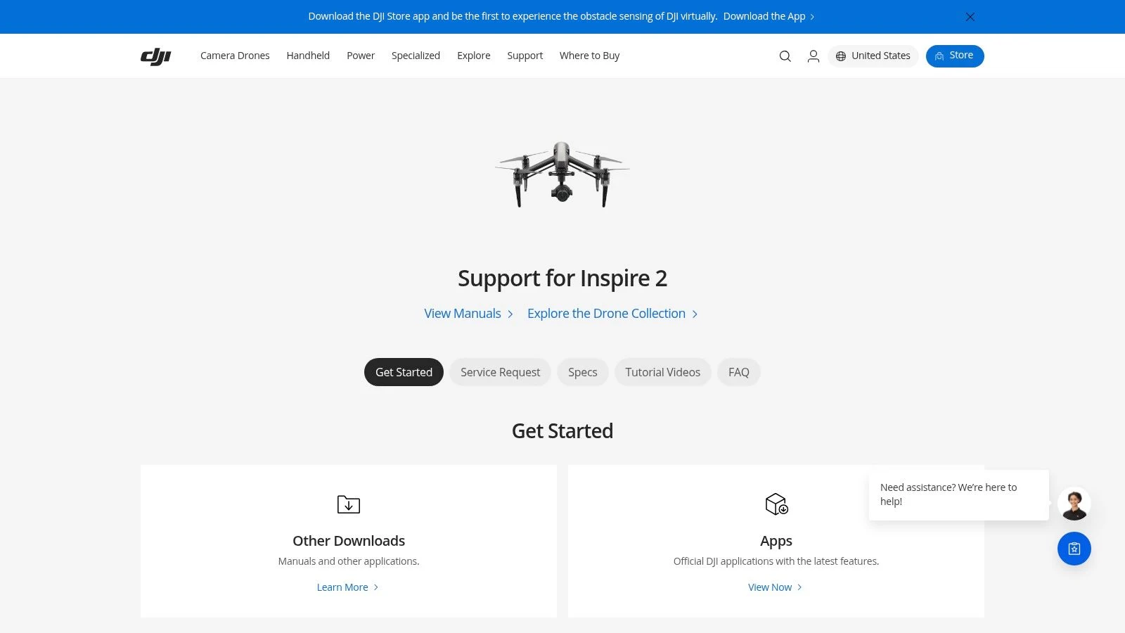
7. DJI Inspire 2 (with X4S/X5S/X7)
The DJI Inspire 2 remains a relevant cinema-grade platform that also holds a unique position among DroneDeploy supported drones. Its primary advantage is the support for interchangeable Zenmuse cameras (X4S, X5S, and X7), allowing operators to use professional-grade lenses for mapping. This makes it a specialized tool for projects where the highest possible imaging quality is non-negotiable, blending cinematic capabilities with functional photogrammetry. While it is a legacy system, its dual-battery design provides reliable performance for completing large mapping missions.
Feature & Compatibility Insights
DroneDeploy’s support for the Inspire 2 is camera-specific, and users must consult official documentation for compatible lens combinations, as not all are validated for mapping. The X4S, with its 1-inch sensor and mechanical shutter, is an excellent choice for crisp orthomosaics. The X5S and X7 offer even higher quality with larger sensors and prime lenses, but mission planning requires careful attention to flight parameters like overlap and altitude. A key operational note is its size and complexity; it requires more setup time than a Mavic-class drone. This makes it best suited for high-value projects rather than rapid, daily surveys.
| Feature | Supported by DroneDeploy |
|---|---|
| Photogrammetry | Yes (With supported X4S, X5S, X7 cameras) |
| RTK/PPK | No (Not natively supported on this platform) |
| Video Capture | Yes (Manual flight mode) |
| Supported Cameras | Zenmuse X4S, X5S, X7 (check lens compatibility) |
Visit the official product page: https://www.dji.com/inspire-2
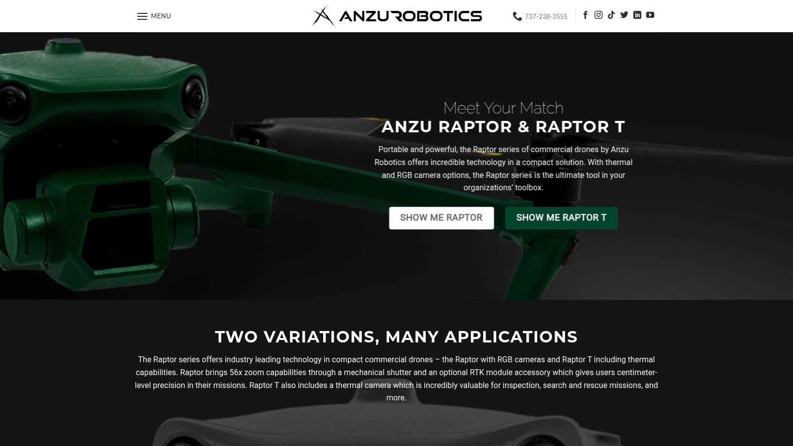
8. Anzu Robotics Raptor
The Anzu Robotics Raptor emerged as a direct alternative for the US market, mirroring the capabilities of the DJI Mavic 3 Enterprise. It’s listed among DroneDeploy supported drones for its familiar, high-accuracy mapping workflow and its positioning as a platform with US-hosted data services. The Raptor features a powerful 20MP sensor with a mechanical shutter, making it a capable tool for creating sharp, detailed orthomosaics and photogrammetric models. Its portable design and integration with the Anzu controller provide a seamless operational experience for field teams.
Feature & Compatibility Insights
DroneDeploy fully supports the Raptor for autonomous mapping flights and data processing. The optional RTK module allows for centimeter-level accuracy, a critical feature for survey-grade projects. One major consideration is the platform's status; Anzu Robotics announced the end-of-life for the Raptor series shortly after its launch. This makes new procurement extremely difficult, as inventory is limited or non-existent. For teams that already own a Raptor, it remains a functional and compliant mapping drone within the DroneDeploy ecosystem, but prospective buyers will need to look elsewhere.
| Feature | Supported by DroneDeploy |
|---|---|
| Photogrammetry | Yes (20MP Sensor, Mechanical Shutter) |
| RTK/PPK | Yes (RTK module required) |
| Video Capture | Yes (Manual flight mode) |
| Required Controller | Anzu Controller |
Visit the official product page: https://www.anzurobotics.com
9. Anzu Robotics Raptor T
The Anzu Robotics Raptor T offers a versatile solution for operators needing both high-resolution RGB and thermal imaging capabilities. Essentially a rebranded, US-supported version of the DJI Mavic 3 Thermal, it’s a notable entry among DroneDeploy supported drones for its dual-payload system. This design is excellent for public safety missions, solar farm inspections, and utility asset management, where identifying thermal anomalies alongside visual context is critical. Its compact, foldable airframe ensures quick deployment for time-sensitive operations.
Feature & Compatibility Insights
DroneDeploy supports the Raptor T for both automated photogrammetry flights using its wide camera and for thermal inspections. A crucial point is that full flight and processing support requires the specific Anzu controller. The drone's 640×512 thermal sensor provides clear data for creating thermal maps within DroneDeploy, and the platform’s Radiometric Thermal Processing can be used to analyze temperature data. While the Raptor T is a capable machine, potential buyers should be aware that its availability is tied to remaining inventory, so new procurement may be limited.
| Feature | Supported by DroneDeploy |
|---|---|
| Photogrammetry | Yes (Wide-angle camera) |
| Thermal Mapping | Yes (640×512 sensor) |
| RTK/PPK | Yes (RTK module optional) |
| Required Controller | Anzu Controller |
Visit the official product page: https://www.anzurobotics.com
10. DJI Mini 4 Pro
The DJI Mini 4 Pro enters the list of DroneDeploy supported drones as an ultra-portable, sub-250g option ideal for specific, low-burden tasks. Its primary advantage is its minimal weight, which can reduce regulatory hurdles in certain regions and makes it incredibly easy to transport. It serves as a valuable tool for quick site checks, simple roof inspections, pilot training, or for teams needing to expand their mapping capability with a low-cost, easily deployable asset.
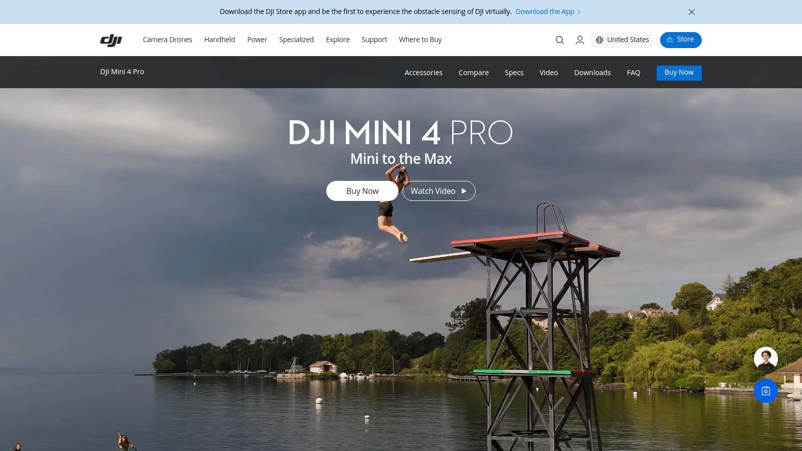
Feature & Compatibility Insights
While the 48MP 1/1.3” sensor captures high-resolution stills, it's crucial to understand the specific requirements for DroneDeploy compatibility. Autonomous flight is only supported when using the DJI RC-N2 controller connected to an Android device. This is a significant limitation for iOS users or those with the integrated-screen DJI RC 2 controller. The Mini 4 Pro lacks an RTK module and a mechanical shutter, making it unsuitable for survey-grade mapping but sufficient for progress monitoring and visual documentation where absolute accuracy is not the main goal.
Its omnidirectional obstacle sensing is a notable safety feature for a drone of this size, providing confidence during automated flights in complex environments.
| Feature | Supported by DroneDeploy |
|---|---|
| Photogrammetry | Yes (48MP 1/1.3" Sensor) |
| RTK/PPK | No |
| Video Capture | Yes (Manual flight mode) |
| Required Controller | DJI RC-N2 with an Android device |
Visit the official product page: https://www.dji.com/mini-4-pro
11. DJI Matrice 3D (for DJI Dock 2 operations)
The DJI Matrice 3D is a purpose-built aircraft designed specifically for automated missions with the DJI Dock 2. Its inclusion among DroneDeploy supported drones marks a shift towards autonomous, fixed-site operations. The platform supports flight execution via the dock, allowing for repeatable data capture workflows essential for construction monitoring, stockpile management, and utility inspections without manual intervention. The drone's design focuses on reliability and efficiency for scheduled, recurring surveys.
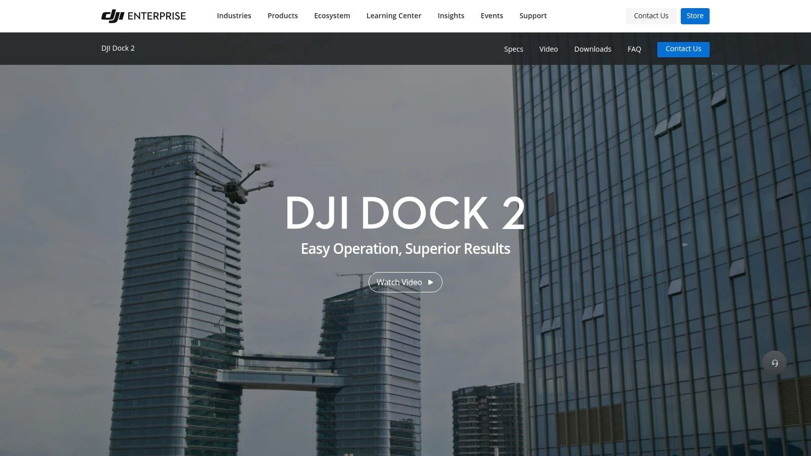
Feature & Compatibility Insights
DroneDeploy's support for the Matrice 3D centers on processing data from missions planned and flown via DJI's FlightHub 2 and executed by the Dock 2. The drone features an integrated RTK module and a dual-camera system, including a 20MP mechanical-shutter wide camera ideal for mapping. A key operational consideration is that this is a closed ecosystem; it requires the DJI Dock 2 infrastructure and is sold through enterprise dealers with project-based pricing. This system is not for manual, ad-hoc flights but for organizations needing to reduce on-site staffing for routine data collection, ensuring high repeatability and safety.
| Feature | Supported by DroneDeploy |
|---|---|
| Photogrammetry | Yes (20MP Wide Camera, Mechanical Shutter) |
| RTK/PPK | Yes (Integrated RTK) |
| Video Capture | Yes (For inspection via DJI software) |
| Required Controller | N/A (Operated via DJI Dock 2) |
Visit the official product page: https://enterprise.dji.com/dock-2
12. DJI Mavic 3 Multispectral (M3M)
The DJI Mavic 3 Multispectral (M3M) is a purpose-built tool for precision agriculture and environmental monitoring, combining a 20MP RGB sensor with a four-band multispectral camera. It’s important to note that while the M3M is listed among DroneDeploy supported drones, this support is for processing-only. This means you cannot use the DroneDeploy app for autonomous flight control. Instead, operators must capture imagery using DJI's native flight app and then upload the dataset to DroneDeploy for analysis and map generation.
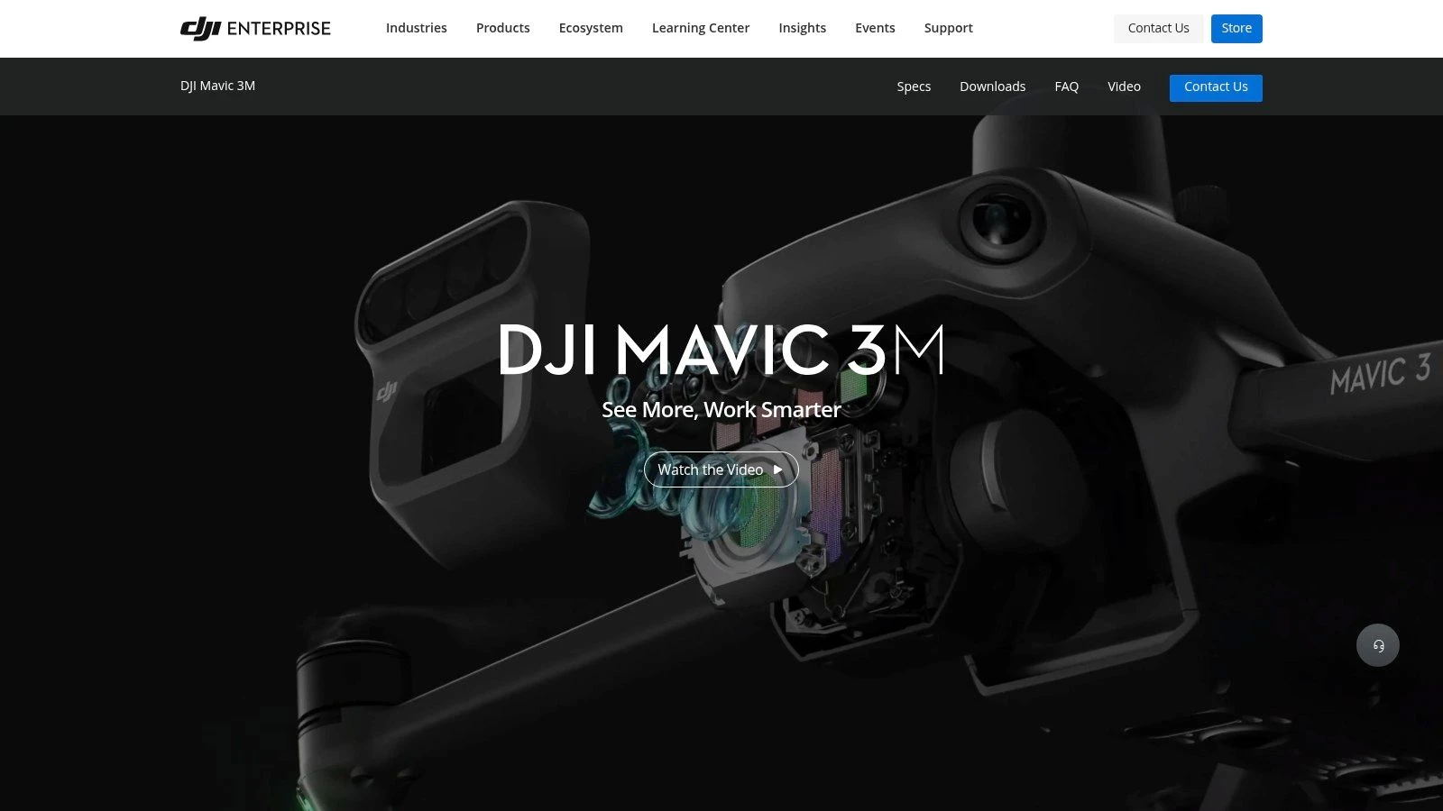
Feature & Compatibility Insights
Despite the lack of flight automation, the M3M remains a valuable asset for DroneDeploy users focused on agricultural workflows. The drone's ability to capture both standard RGB and multispectral data in a single flight streamlines fieldwork significantly. This dual-data collection is perfect for creating detailed plant health maps (like NDVI) alongside high-resolution visual orthomosaics. The onboard RTK module ensures precise geotagging, which is critical for accurate time-series analysis of crop growth or environmental changes.
For those evaluating tools for farm management, the M3M's workflow fits well within the broader ecosystem of modern agriculture drones. The primary operational step is to plan missions in DJI Pilot 2, execute the flight, and then upload the collected JPEGs to DroneDeploy for processing into actionable insights.
| Feature | Supported by DroneDeploy |
|---|---|
| Photogrammetry | Yes (Processing-only from uploaded 20MP RGB images) |
| Multispectral | Yes (Processing-only for NDVI and other indices) |
| RTK/PPK | Yes (Geotagged data is processed) |
| Required Controller | DJI RC Pro Enterprise (for flight with DJI Pilot 2) |
Visit the official product page: https://enterprise.dji.com/mavic-3-m
DroneDeploy Supported Drones — 12-Model Comparison
| Model | Core specs & sensor | Target audience & use case (👥) | Key strengths (★ / 🏆 / ✨) | Tradeoffs & constraints | Price / Value (💰) |
|---|---|---|---|---|---|
| DJI Mavic 3 Enterprise (M3E) | 20MP 4/3” w/ mechanical shutter, RTK/PPK support, portable | 👥 Surveyors, enterprise mapping, rapid deployments | ★★★★ — 🏆 high-accuracy mapping; ✨ mechanical shutter & RTK | Requires RC Pro Enterprise for DroneDeploy; tele cam not for mapping | 💰 Medium–High (enterprise) |
| DJI Mavic 3 Thermal (M3T) | 48MP visible + 640×512 radiometric thermal, RTK option | 👥 Inspections, public safety, utilities | ★★★★ — ✨ combined thermal + mapping; strong dealer support | Thermal limits long-range thermography; RC Pro required | 💰 Medium–High |
| DJI Matrice 350 RTK (M350 RTK) | IP55, hot‑swappable TB65, supports P1/H20/H20T payloads | 👥 Large surveys, complex inspections, enterprise fleets | ★★★★★ — 🏆 enterprise-grade stability & payload flexibility; ✨ O3 Enterprise link | High acquisition & ops cost; payloads add complexity | 💰 High (enterprise) |
| DJI Matrice 300 RTK (M300 RTK) | IP45, six‑direction sensing, P1/H20/H20T compatible | 👥 Enterprise inspection & survey teams with mature workflows | ★★★★ — proven platform; 🏆 wide ecosystem & docs | Bulkier, heavier, higher logistics complexity | 💰 High |
| DJI Air 2S | 20MP 1” sensor, very portable, DroneDeploy autonomous on iOS | 👥 Small sites, quick turnarounds, beginners | ★★★ — ✨ fast deploy & low learning curve | No mechanical shutter (motion blur risk); DroneDeploy iOS-only | 💰 Low |
| DJI Phantom 4 Pro V2.0 | 20MP 1” mechanical shutter, reliable GNSS & stable flight | 👥 Surveyors preferring legacy, consistent photogrammetry | ★★★★ — 🏆 consistent mapping results; strong used-market | Larger kit; aging platform & variable new-stock availability | 💰 Medium (good used value) |
| DJI Inspire 2 (X4S/X5S/X7) | Interchangeable cinema cameras, dual-battery high perf. | 👥 Cinema+mapping pros needing highest image quality | ★★★★★ — 🏆 top imaging; ✨ interchangeable lenses | Large, heavy, complex; legacy platform availability varies | 💰 High (specialized) |
| Anzu Robotics Raptor | 20MP mechanical-shutter, RTK option, Anzu controller, US-hosted services | 👥 US procurement-focused mapping teams | ★★★★ — ✨ familiar M3E workflow with US-hosting option | EOL/availability concerns; limited new stock | 💰 Medium (availability-limited) |
| Anzu Robotics Raptor T | Visible + 640×512 thermal, RTK option, Anzu controller | 👥 Inspections & public safety teams seeking thermal + mapping | ★★★★ — ✨ combined thermal/mapping kit; DroneDeploy support | EOL/limited inventory; procurement may be difficult | 💰 Medium–High (limited) |
| DJI Mini 4 Pro | 48MP 1/1.3”, sub‑250 g, omnidirectional sensing (RC‑N2 on Android) | 👥 Roof inspections, training, ultra‑portable capture | ★★★ — ✨ sub‑250 g portability; low regulatory burden | Not enterprise-grade; specific controller requirement for DroneDeploy | 💰 Low |
| DJI Matrice 3D (for DJI Dock 2) | Integrated RTK, 20MP mech shutter, ~50 min endurance, docked ops | 👥 Fixed‑site repeatable monitoring (construction, utilities) | ★★★★★ — 🏆 automated, high-repeatability missions; ✨ dock automation | Requires dock infrastructure & project-based pricing | 💰 Enterprise / project pricing |
| DJI Mavic 3 Multispectral (M3M) | 20MP RGB + multispectral array, RTK support | 👥 Precision agriculture & environmental monitoring | ★★★★ — ✨ one-flight RGB + multispectral for NDVI analytics | DroneDeploy flight not supported (processing-only); use DJI capture | 💰 Medium–High |
Making Your Final Selection: Building a Future-Proof Drone Fleet
Choosing the right hardware from the extensive list of DroneDeploy supported drones is more than a simple purchase; it’s a strategic investment in your operational capability. As this guide has detailed, the ideal drone is not a one-size-fits-all solution. Your decision must be directly informed by your primary business activities and the specific data products your clients demand.
A surveyor requiring centimeter-level accuracy for topographic maps will find immense value in the DJI Matrice 350 RTK or Mavic 3 Enterprise. Conversely, a team focused on frequent, rapid thermal inspections for roofing or solar panel audits might find the DJI Mavic 3T offers the perfect balance of portability, speed, and data quality. For those exploring automated, repeatable missions, the DJI Matrice 3D with the Dock 2 represents a significant step forward in operational autonomy.
Key Factors for Your Final Decision
Before committing to a platform, step back and evaluate the entire ecosystem surrounding the drone itself. Consider these critical factors:
- Total Cost of Ownership (TCO): Look beyond the sticker price. Factor in the cost of necessary accessories like the RC Pro or smart controllers, additional batteries, specialized payloads (like the M3M's multispectral camera), and potential firmware-mandated upgrades.
- Workflow Integration: How seamlessly does this drone fit into your existing software stack? Assess its compatibility not just with DroneDeploy for flight and processing, but also with management platforms like Dronedesk for project tracking, compliance, and client reporting. A well-integrated system minimizes manual data entry and reduces administrative overhead.
- Operational Environment: Will you be operating in tight, urban spaces where the compact DJI Mini 4 Pro excels, or in vast, open areas where the endurance of a Matrice series drone is essential? Consider factors like wind resistance, temperature operating limits, and any regional restrictions that might favor a non-DJI option like the Anzu Robotics Raptor.
- Lifecycle Management: Building a future-proof fleet also means planning for its eventual retirement or upgrade. To ensure your investment is truly optimized for the long run, understanding IT Asset Disposition (ITAD) is crucial for managing your drone equipment's entire lifecycle, from deployment to eventual retirement.
The ultimate goal is to create a symbiotic relationship between your hardware, your field software, and your operations management system. By carefully aligning the capabilities of your chosen dronedeploy supported drones with the demands of your work, you build a resilient, efficient, and profitable drone program. Use this guide as your blueprint to make an informed choice that will not only meet your current needs but also position your business for future growth and success.
Now that you've selected the right drone, manage your entire operation from client brief to final invoice with Dronedesk. Our platform integrates seamlessly with your workflow, helping you manage flight logs, maintenance schedules, and project data for your DroneDeploy missions. Plan, manage, and deliver your drone projects more efficiently by trying Dronedesk today.
 Drone Regulations Checklist for Commercial Flights →
 Drone Flying Laws: A Practical Guide for Operators →
 CAA UAV Regulations Explained for UK Operators →
 UK SORA Explained for Drone Operators →
 AUS Drone Laws Explained for Commercial Operators →
 Drone Flying Rules Explained for Business Use →
 How to Choose an Aerial Survey Drone for Accurate Data →
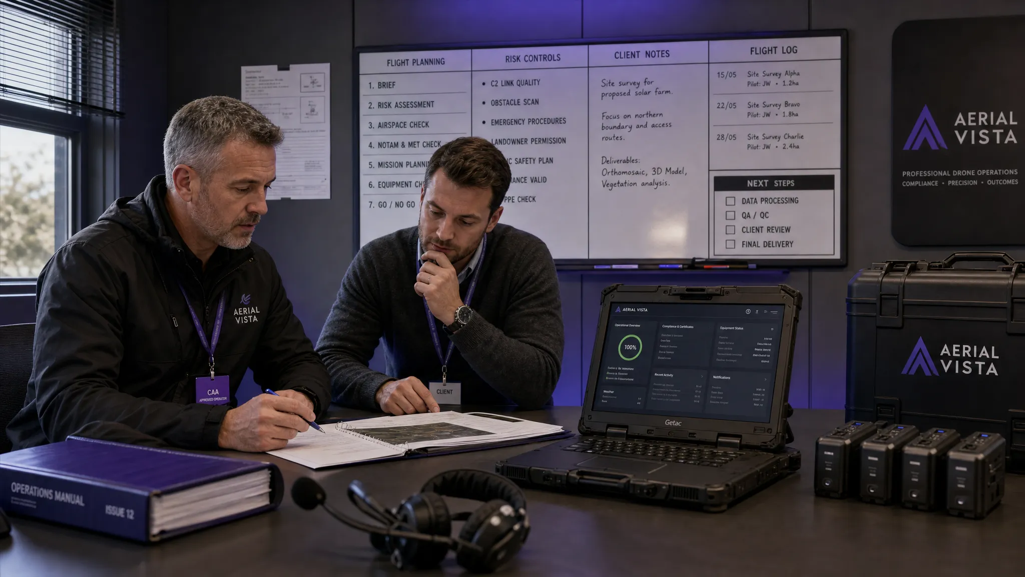 What Makes a Great Drone Operator in 2026? →
 Drone Rules Every Commercial Operator Should Know →
 How to Use a Drone Flight Restrictions Map Safely →