class d airspace drone - A Pilot's Quick Guide
Flying a drone in Class D airspace means you're operating near an airport with an active control tower. Getting direct authorization before you even think about taking off is non-negotiable. It's a controlled environment built for safety, and every single drone pilot—recreational or commercial—has to follow the rules to get legal access.
What Class D Airspace Means for Your Drone

Picture the sky around a smaller, regional airport. It’s not a madhouse like LAX or JFK (those are in much stricter airspace), but it has a steady stream of aircraft coming and going. Class D airspace is simply the system that brings order to this local air traffic, all managed by an on-site air traffic control (ATC) tower.
For a drone pilot, flying into this zone without permission is like merging onto a busy highway with a blindfold on. The whole point of Class D is to keep manned aircraft—like small planes, helicopters, and corporate jets—safely separated from unmanned aircraft like yours. It’s a cornerstone of aviation safety.
Visualizing the Boundaries
The shape of Class D airspace is usually a cylinder. Think of it as an invisible, upside-down layer of a wedding cake sitting right over the airport.
- Width: It typically extends about 4 to 5 nautical miles (that's roughly 4.6 to 5.8 miles) out from the airport's center.
- Height: It generally goes from the ground up to 2,500 feet above the airport’s elevation.
These aren’t hard-and-fast numbers; the dimensions can be tweaked based on local traffic and terrain. This is exactly why you have to check an up-to-date map every single time you fly. To get a better handle on spotting these zones, check out our detailed guide on using a Class D airspace map.
A classic rookie mistake is seeing a small, quiet-looking airport and assuming the rules are more relaxed. If that airport has an operating control tower, it’s surrounded by controlled airspace. Period. Getting authorization is a must for any drone flight.
Why Authorization Is Mandatory
Flying a drone in Class D airspace is surprisingly common. In fact, FAA data reveals that about 26% of all drone flights in the US take place in Class D, making it the third most frequent type for drone operations. The sheer volume of unmanned traffic in these areas highlights why coordination is absolutely essential.
When you request authorization, you’re not just checking a box. You're telling ATC your flight plan—where you’ll be, how high you’ll fly, and for how long. This information allows them to deconflict your flight with manned aircraft, making sure everyone sharing the sky stays safe. It’s more than just a rule; it’s your part in maintaining a cooperative and secure national airspace.
FAA Rules for Drone Flights in Class D: What You Absolutely Need to Know
Flying a drone in Class D airspace is a different ballgame than buzzing over an empty field in the middle of nowhere. You're sharing the sky with actual planes and helicopters, which means the Federal Aviation Administration (FAA) has put some strict, non-negotiable rules in place to keep everyone safe. Getting a handle on these is your first step to flying legally and responsibly.
It doesn’t matter if you’re flying for fun under The Recreational UAS Safety Test (TRUST) or commercially with a Part 107 certificate. When it comes to Class D, the core safety rules apply to everyone. The FAA isn’t interested in why you’re flying, only that you don’t cause a mid-air collision.
The Golden Rule: Authorization is Mandatory
If you remember only one thing about flying a class d airspace drone, make it this: you must get authorization from Air Traffic Control (ATC) before your props ever start spinning. No exceptions. This isn’t just red tape; it's the critical safety link that lets the control tower know exactly where you are, how high you're going, and for how long.
That information is vital for ATC to keep your drone clear of manned aircraft taking off, landing, or just passing through. Skipping this step is a massive violation and the consequences can be severe.
Think of it this way: launching a drone in Class D without permission is like strolling onto an active runway without a word to the ground crew. You instantly become an invisible, unpredictable hazard in a highly coordinated environment.
Core Flight Rules Inside Class D
Even with authorization in hand, you still have to play by the fundamental rules of the air. These are all about maintaining a safe bubble around your drone so you never become a risk to other aircraft.
Here are the key restrictions to live by:
- Altitude is Everything: You can only fly up to the maximum altitude approved in your authorization, and not an inch higher. This ceiling is usually set by the FAA’s UAS Facility Maps (often called grid maps), which spell out pre-approved altitudes for different zones.
- Keep Eyes On It (VLOS): Your drone has to stay within your Visual Line of Sight at all times. That means you (or a spotter) need to be able to physically see it with your own eyes—no binoculars—to track its position and direction.
- Manned Aircraft Always Win: Drones are at the bottom of the food chain. You must always give way to manned aircraft. If you see a plane or helicopter coming your way, your job is to immediately land or steer your drone well out of its path.
The High Cost of Ignoring the Rules
The FAA doesn't mess around with unauthorized flights in controlled airspace. Flying a class d airspace drone without the proper sign-off isn’t a simple slip-up; it’s a federal offense with some pretty hefty repercussions.
Depending on how serious the mistake was, pilots can face a whole menu of penalties.
| Penalty Type | Description | Potential Consequence |
|---|---|---|
| Warning Notices | A formal letter from the FAA for a first-time or minor slip. | Goes on your permanent record as a documented violation. |
| Civil Penalties | Straight-up fines. These can get expensive, fast. | Fines start around $1,500 and can climb to $37,000 for serious commercial screw-ups. |
| Certificate Suspension | For Part 107 pilots, the FAA can pull your Remote Pilot Certificate. | You lose your legal ability to fly drones for any commercial work. |
These rules aren't just about protecting pilots up in the air; they're also for the safety of people and property down below. When you understand and respect your legal duties, you’re doing your part to keep the national airspace safe for everyone.
How to Get LAANC Authorization Step by Step
Not so long ago, getting permission to fly a drone in Class D airspace meant a whole lot of paperwork and even more waiting. Thankfully, those days are mostly behind us, thanks to the Low Altitude Authorization and Notification Capability (LAANC) system. Think of it as your digital handshake with Air Traffic Control (ATC), making near-instant flight approvals the new normal.
Mastering LAANC is a fundamental skill for any pilot flying near towered airports. It's a pretty straightforward system once you get the hang of it, but knowing the exact steps and the information you'll need is the key to a smooth, successful request every single time.
This flow chart really nails down the basic rules for flying in Class D airspace, walking you through the critical sequence of permission, altitude, and line of sight.

As you can see, every legal flight starts with one thing: securing permission from ATC before you even start thinking about your altitude or flight path.
Choose Your LAANC Provider App
First things first, you'll need to pick an FAA-approved LAANC Service Supplier. You don't actually interact with the LAANC system directly; instead, you use a third-party app that plugs into it. These apps act as your official interpreters, speaking the right language to ATC on your behalf.
A few of the most popular and reliable options include:
- Aloft (which you might remember as Kittyhawk): A powerhouse platform used by everyone from solo pilots to large enterprise teams.
- B4UFLY: This is the FAA's own app, which partners with Aloft to provide clear airspace info and LAANC access.
- AirMap: Another well-established name in the game, offering a full suite of airspace intelligence and authorization tools.
The good news is that most of these apps are free for basic LAANC requests. Just download one to your phone or tablet, set up an account, and you're ready to get started.
Submit Your Flight Request Details
Once you’ve got your app fired up, the process for requesting an authorization is pretty much the same no matter which provider you chose. You'll be asked to input some specific details about your planned flight. Getting this right is absolutely crucial for a quick approval.
Here’s what you’ll need to have ready:
- Exact Flight Location: You'll use a map to draw a precise operating area or drop a pin right where you plan to fly.
- Maximum Altitude: This is the highest you intend to fly, measured in feet Above Ground Level (AGL). The app will clearly show you the pre-approved altitude ceiling for that spot based on the FAA's UAS Facility Maps (UASFM).
- Date and Time: Simply select the start date and time for your operation.
- Flight Duration: Let them know how long you'll be in the air, whether it's for just a few minutes or a couple of hours.
After you've entered all that, just confirm your pilot info and hit submit. That’s when the system kicks into gear.
Understanding the Response: Automated vs. Manual Review
This is where the real magic of LAANC kicks in. In most situations, as long as your flight plan falls within the pre-approved limits shown on the grid map, you'll get an automated authorization almost instantly. It usually comes through as a text or an in-app notification. This is the best-case scenario and how the vast majority of LAANC requests get handled.
But sometimes, your request might need a human to take a look.
If you request to fly above the pre-approved altitude ceiling for an area, or if your flight is in a particularly sensitive location, the request gets flagged for "Further Coordination." This means your request is routed directly to the Air Traffic Control tower for a manual review. An ATC manager will personally look at your plan and either approve, deny, or modify it.
This manual process can take anywhere from a few hours to a few days, so it's vital to plan ahead if you know you'll need to fly higher than the automated grid allows. For a deeper look into the nuances of flying near airports, our complete guide on flying a drone near an airport has a ton of extra insights.
To make it even clearer, let's break down the common responses you'll get after submitting a request.
Understanding Your LAANC Request Status
The table below outlines the common LAANC statuses you'll encounter, what they mean for your mission, and exactly what you need to do next.
| Status | What It Means for Your Flight | Your Next Action |
|---|---|---|
| Authorized | Your request is approved exactly as you submitted it. You are cleared to fly. | Proceed with your pre-flight checks and get ready for the mission. |
| Authorized with Mods | ATC has approved your flight but changed a parameter, like your maximum altitude. | Review the changes carefully. You are required to follow the modified clearance. |
| Pending (Further Coord) | Your request is now under manual review by ATC. You are not cleared to fly yet. | Wait for a final decision. Do not take off until you receive explicit approval. |
| Denied | Your request was not approved, likely due to safety or operational conflicts. | Do not fly. You may be able to resubmit with different parameters if appropriate. |
By following these simple steps, you can confidently navigate the LAANC system. It's the best way to ensure every drone flight in Class D airspace is safe, legal, and fully compliant with all FAA regulations.
Mastering Your Pre-Flight Airspace Checklist
 A successful drone flight in Class D airspace starts long before you ever get to the site. The real work begins with a rock-solid pre-flight check—one that goes way beyond just inspecting your batteries and props. Think of this routine as your first and best line of defense against the kind of surprises that can ground a mission or, worse, create a serious safety hazard.
This isn’t just about ticking boxes. It’s an intelligence-gathering mission. Your goal is to build a complete picture of the operational environment, turning unknown variables into known factors you can plan for. No surprises, no last-minute panics.
Using Essential Airspace Tools
Before you even think about flying near a towered airport, you need to get a clear, real-time view of the sky. The FAA’s B4UFLY app is every pilot's first stop. It gives you an instant, location-based snapshot of airspace restrictions and is an absolutely critical first step.
But don't stop there. For a deeper dive, sectional charts are invaluable. While apps are great for a quick look, the charts provide context and detail that can be a lifesaver on more complex missions. They help you pinpoint the exact boundaries of the Class D airspace, understand its vertical limits, and spot potential hazards like nearby obstacles or sensitive areas.
This digital-first approach to airspace intelligence isn't just a US thing, either. Drone regulations for Class D airspace are becoming more aligned globally, with many aviation authorities adopting similar data-driven safety rules. In fact, EASA (the European Union's aviation safety agency) reported that 28% of all drone flights in EU member states took place in Class D airspace, a number that's right in line with what we see in the US.
Verifying Authorizations and Restrictions
Getting your LAANC authorization is a huge step, but verifying it before takeoff is just as important. Always, always double-check that the authorization you received matches the exact time, location, and altitude you planned for. A simple typo in the request could make your clearance completely invalid.
Beyond your LAANC approval, you have to actively check for Temporary Flight Restrictions (TFRs) and Notices to Air Missions (NOTAMs). These are time-sensitive alerts that can pop up with little to no warning and will override your existing authorization.
- TFRs: These are often set up for big public events, VIP movements (like a presidential visit), or emergencies like wildfires. Flying in an active TFR is a major violation, no excuses.
- NOTAMs: These give more routine updates, but they can be just as critical. A NOTAM might warn you about crane operations near your flight path, GPS signal interference tests, or temporary runway closures that mess with local air traffic patterns.
A classic rookie mistake is assuming a LAANC authorization is a golden ticket to fly, no matter what. TFRs and critical NOTAMs can appear just minutes before your flight, which makes a final check right before you launch an absolute must.
Building Your On-Site Safety Briefing
Once you're on location, your checklist isn't done. This is where you connect all your digital research to the physical reality of the flight area. Your on-site assessment is all about confirming that the conditions on the ground match what you planned for and spotting any new, localized hazards.
This final check is a non-negotiable part of any comprehensive mission plan. For a complete breakdown of what should be in your full workflow, from equipment checks to emergency procedures, check out our ultimate drone preflight checklist.
Your on-site safety briefing, even if you’re flying solo, should confirm these four things at a minimum:
- Weather Conditions: Is the wind speed, visibility, and precipitation well within the safe operating limits for your aircraft?
- Local Obstacles: Scan the area with your own eyes for power lines, trees, or temporary structures that weren't visible on any satellite map.
- Site Access and Egress: Do you have a safe launch and landing zone? What about clear escape routes if something goes wrong?
- Communication Plan: Is your phone fully charged? Do you have the contact info for the local ATC tower handy, just in case?
By following this systematic approach, your pre-flight routine transforms from a simple to-do list into a powerful risk-management process. When you master this checklist, you ensure every class d airspace drone operation is built on a foundation of safety, compliance, and total situational awareness.
Putting It All Together: Real-World Class D Scenarios
Knowing the rules is one thing, but seeing how they play out in the real world is where the learning really sticks. Let's walk through a few common situations drone pilots face every day. Think of them as mini case studies that show the difference between a smooth, professional job and one that ends in a stressful phone call from ATC.
These aren't just hypotheticals. They're based on the kind of challenges and opportunities that pop up all the time. By learning from others' wins and mistakes, you'll build the kind of practical judgment that keeps you safe and your clients happy.
Scenario One: The By-the-Book Real Estate Shoot
Sarah, a Part 107 pilot, lands a gig shooting a commercial property. One look at the map tells her it's just two miles from a regional airport, putting her squarely inside its Class D airspace. The UAS Facility Map shows a pre-approved ceiling of 100 feet AGL for that grid.
Her workflow is a masterclass in professionalism:
- Plan Ahead: Two days before the shoot, Sarah opens her LAANC provider app. She draws a precise boundary around the property, requests an altitude of 100 feet, and schedules a two-hour window.
- Instant Green Light: Since her request was within the automated ceiling, she gets an instant LAANC authorization texted to her phone. No waiting, no fuss.
- Final Checks on Site: On the day of the job, right before launching, she does one last check on B4UFLY. She's looking for any last-minute TFRs or surprise NOTAMs. All clear.
- Flawless Execution: Sarah flies the mission, keeping her drone well below the 100-foot limit and within her geofenced area. The job is done safely, legally, and the client is thrilled.
This is exactly how the system is designed to work. Sarah’s proactive approach and final on-site check meant the entire operation was efficient and completely stress-free.
Scenario Two: The TFR Trap
Now let's look at Mark, another pilot with a job in Class D airspace. He starts off on the right foot, securing a LAANC authorization for 200 feet AGL the day before. He feels prepared and good to go.
But Mark makes a critical, and all-too-common, error. On the morning of the flight, he skips his final pre-flight check, figuring his authorization is a golden ticket. He gets to the site, launches, and starts flying.
What he doesn't know is that a VIP movement TFR was issued that morning, blanketing a five-mile radius around the airport. His drone is now flying illegally inside an active, no-fly TFR. A few minutes into the flight, his phone rings. It's ATC, telling him to land immediately. Mark complies, but the violation has already occurred.
This is a classic and costly mistake. A LAANC authorization does not give you a pass on other airspace restrictions. TFRs can pop up with very little notice and they will always trump your pre-approved clearance.
Mark should have checked for TFRs right before his props went up. Seeing the restriction, the only correct move would have been to ground the flight and reschedule with the client. It’s a tough call, but it’s the right one.
Scenario Three: Asking for a Little Extra Altitude
Our final pilot, Chloe, has a challenge. She needs to inspect a 150-foot cell tower, but it's sitting in a Class D grid with an automated LAANC ceiling of only 100 feet. Flying at the grid limit just won't cut it.
Instead of winging it, Chloe plans for a manual review through LAANC.
- Submitting the Request: A full week before the job, she submits her request for 200 feet AGL. Because this is above the grid ceiling, the system automatically flags it for "Further Coordination."
- Giving a Good Reason: In the notes section of her request, she’s crystal clear: "UAS inspection of a 150-foot communications tower. Requesting 200 feet AGL to maintain safe clearance above the structure."
- Patience Pays Off: The request gets forwarded to the airport's Air Traffic Manager for review. Two days later, Chloe gets an "Authorization with Modifications." ATC approved her flight but capped the altitude at 175 feet — still more than enough to get the job done safely.
Chloe's story shows the right way to handle jobs that don't fit neatly inside the automated grids. By giving a clear safety justification and, crucially, submitting the request well in advance, she legally got the clearance she needed.
Your Top Questions About Flying in Class D Airspace
Even after you've got the rules down, flying a drone in Class D airspace for the first time can throw up some curveballs. This is where we tackle the most common questions and sticking points pilots face on the ground. Think of it as your field guide for navigating these controlled zones like a pro.
We’re cutting through the jargon to give you practical answers for the kind of situations you’ll actually run into. A system outage, an accidental slip-up—knowing what to do when things don't go to plan is what makes a pilot truly prepared.
What Happens If LAANC Is Down?
It’s rare, but it happens. The LAANC system might have a temporary outage, or maybe the airport you're working near isn't LAANC-enabled yet. If you hit this wall, don't panic—you’re not out of options, but you'll have to fall back to the old-school manual system.
Your backup is the FAA's DroneZone portal. This is where you submit airspace authorization requests that need a human to review them.
- Plan Way Ahead: Unlike the near-instant LAANC, DroneZone requests are anything but fast. They can take days or even weeks. The FAA’s official advice is to submit requests up to 90 days in advance.
- Be Detailed: You'll need to spell out your entire operation—precise coordinates, altitudes, and a solid safety case for why you need to fly there.
The bottom line is simple: if LAANC is off the table for any reason, so is instant authorization. You have to use the DroneZone process and bake that long lead time into your project schedule. There’s no quick fix.
Do Hobbyists and Commercial Pilots Follow the Same Rules?
When it comes to flying a drone in Class D airspace, one rule is king: everyone needs authorization. It makes no difference whether you're flying for fun under The Recreational UAS Safety Test (TRUST) or for a client with your Part 107 certificate.
The mandate to get ATC permission before you enter Class D applies to every single pilot. Air Traffic Control needs a complete picture of all aircraft in their zone, and they don't care if you're flying recreationally or commercially. Your drone is what matters.
This universal requirement keeps the safety standards consistent for everyone, protecting manned aircraft, other drones, and people on the ground.
How Is Class D Different From Other Airspaces?
It’s easy to get the different airspace classes mixed up. The best way to think about them is by comparing them to roads—from a quiet country lane to a bustling city highway.
Here’s a simple breakdown to keep things straight:
| Airspace Class | The Road Analogy | Key Characteristics |
|---|---|---|
| Class D | A busy town road | Surrounds airports with an active control tower. Controlled, but less complex than B or C. |
| Class C | A major city highway | Wraps around busier airports with a tower and radar control. The rules get stricter here. |
| Class B | A massive interstate hub | Surrounds the nation’s busiest airports (think LAX or JFK). This is the most restrictive airspace. |
| Class G | A quiet country lane | Uncontrolled airspace. This is where you can generally fly up to 400 feet without any authorization. |
Class D airspace is that critical middle ground. It's controlled airspace that demands you get permission (usually via LAANC), but it’s far more accessible for drone pilots than the heavily fortified Class C or B zones.
What if I Accidentally Fly into Class D Airspace?
Mistakes can happen, but it's how you react that defines you as a pilot. If you look at your map and realize you’ve drifted into Class D airspace without authorization, you need to act immediately.
Follow these steps, no hesitation:
- Exit Immediately: Your one and only priority is to get your drone out of the controlled airspace. Fly back out using the most direct and safest route. Stop what you were doing.
- Land the Drone: As soon as you are safely clear of the Class D boundary, bring your aircraft in for a landing.
- Self-Report (Optional but a Very Good Idea): This is a huge step. Filing a report through the FAA’s Aviation Safety Reporting System (ASRS) can make a big difference. It shows you recognize the mistake and are taking ownership of it.
Accidental incursions are a big deal, but a proactive and honest response demonstrates a commitment to safety that regulators tend to look on favorably. The absolute worst thing you can do is ignore it and hope nobody noticed.
Managing airspace is just one piece of the puzzle. For a complete solution that handles client management, flight logging, and compliance all in one place, check out Dronedesk. Streamline your entire workflow and fly with confidence. Learn more at https://dronedesk.io.
 Canadian Drone Regulations Explained for Business Use →
 FAA Part 107 Drone License Explained for Beginners →
 How to Review a DJI Drone Flight Log Step by Step →
 Drone Registration Law Explained for Commercial Pilots →
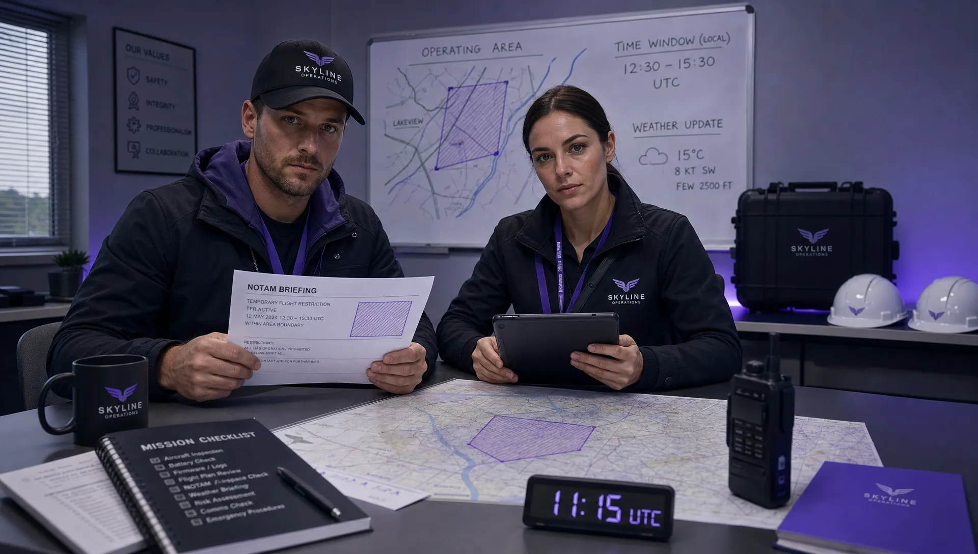 How to Check a Drone NOTAM Before Every Mission →
 BVLOS Drone Meaning and Why It Matters →
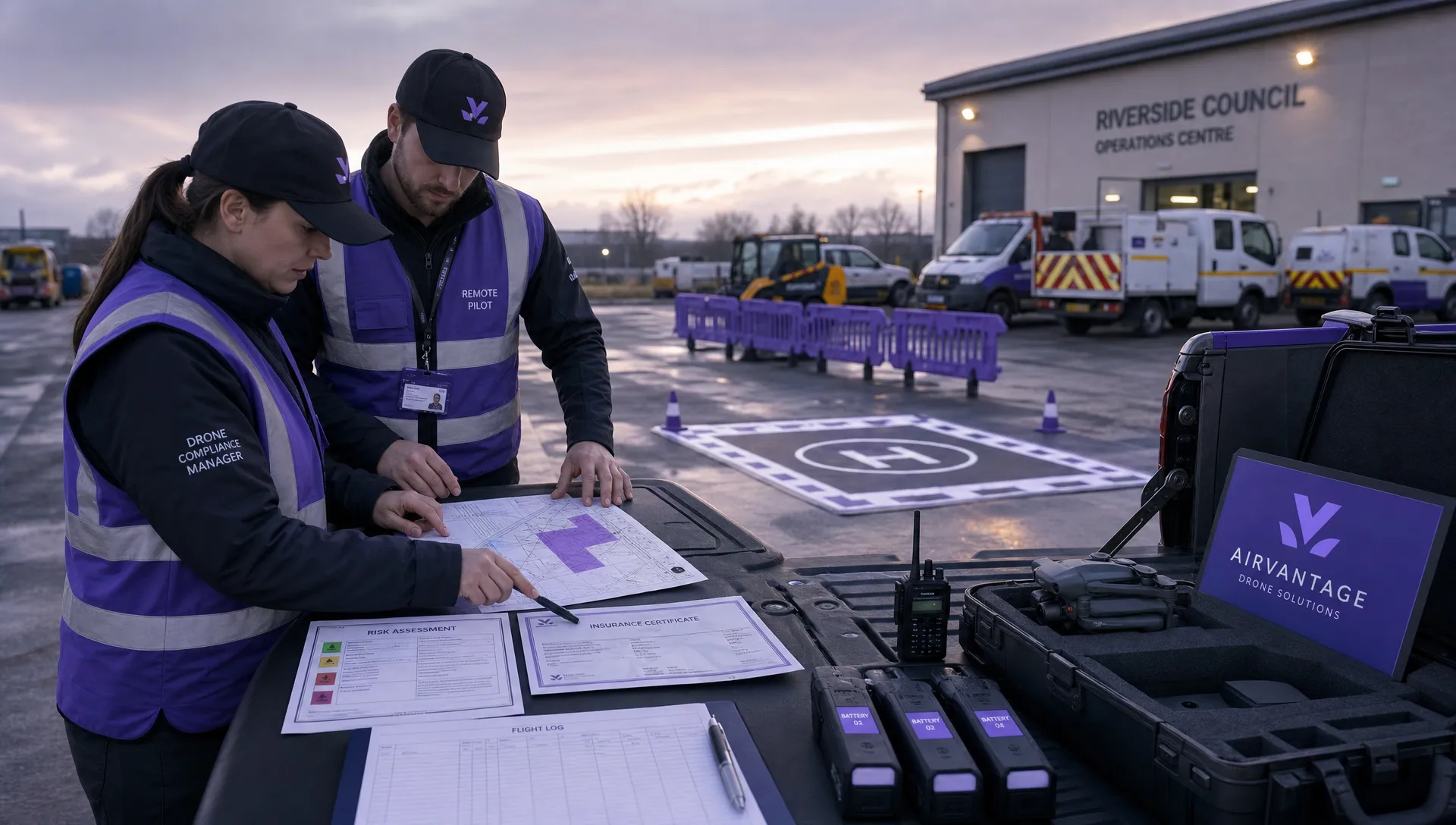 Drone Operation Regulations Explained for Businesses →
 How to Pass Your Drone Pilot License Test →
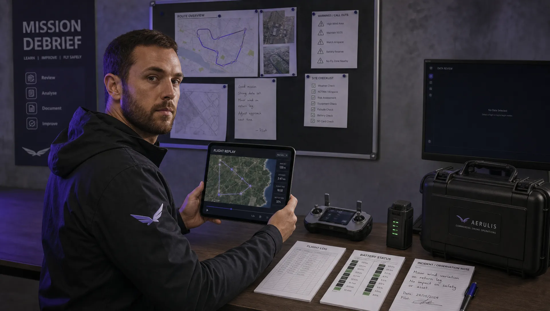 How to Review a DJI Flight Record After a Mission →
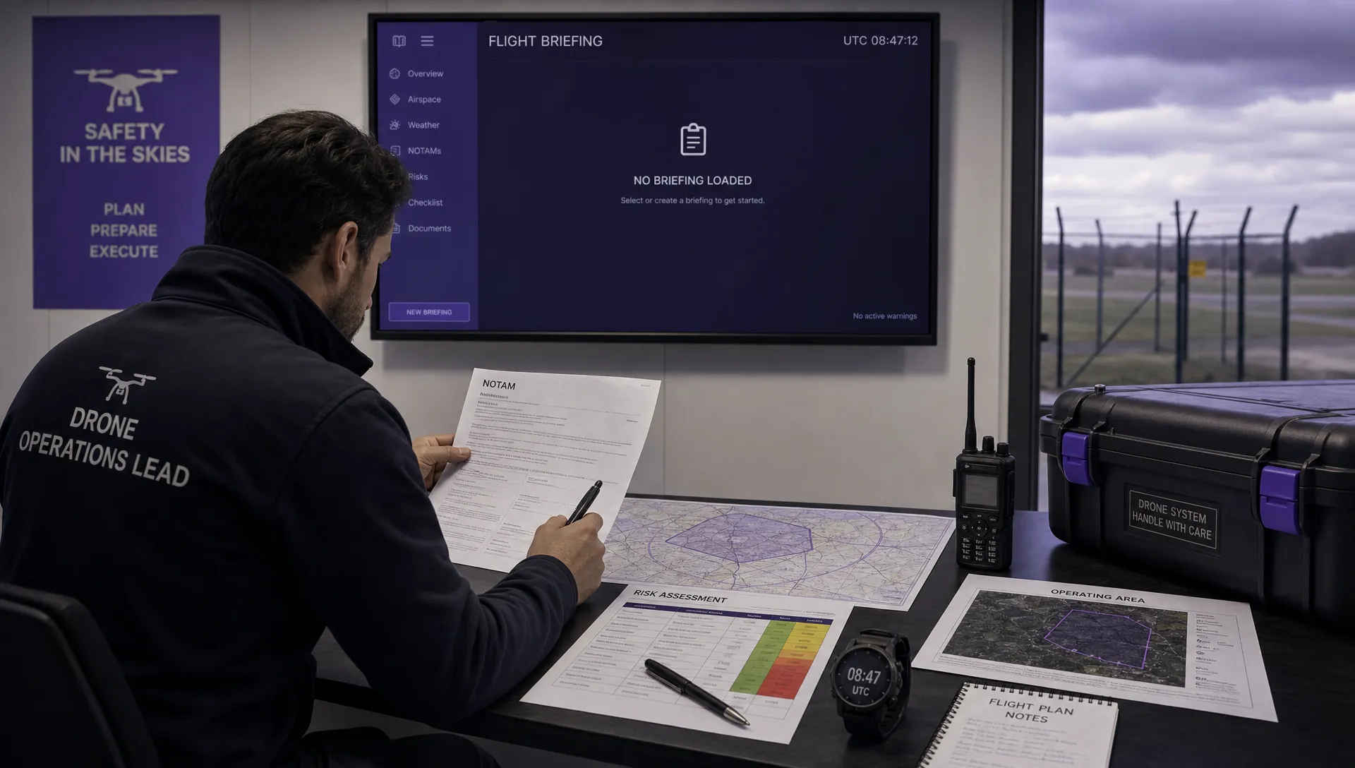 How to Check a Drone NOTAM Before You Fly →