Master airports and drones - Essential Rules, LAANC, and Safety Tips
Flying a drone near an airport isn't just a regulatory headache; it's a serious gamble with potentially catastrophic consequences. Think of the airspace around an airport as a meticulously organized, three-dimensional highway system. A drone showing up unannounced is like a car driving the wrong way down the M1 during rush hour—it threatens a disastrous collision.
These rules aren’t just red tape. They’re essential safeguards put in place to protect human lives.
The High Stakes of Flying Drones Near Airports
While every drone flight demands a commitment to safety, the stakes skyrocket the closer you get to an airport. The air surrounding these hubs is a complex, invisible web of flight paths, altitudes, and procedures, all designed to keep massive aircraft—and the hundreds of people on board—safe during their most vulnerable moments: takeoff and landing.
It’s during these critical phases that pilots have the least amount of time to react to anything unexpected. An unauthorized drone popping up in this environment creates an immediate, high-stakes emergency. And it's not just a matter of a small drone hitting a big plane; it's where that impact happens that can turn a minor incident into a tragedy.
A drone strike could easily lead to:
- Engine Ingestion: If a drone gets sucked into a jet engine, it can cause a catastrophic failure, resulting in a sudden loss of thrust and a major in-flight emergency.
- Control Surface Damage: An impact with a wing, tail, or rudder can cripple a pilot's ability to control the aircraft, especially during the delicate manoeuvres required for landing.
- Cockpit Impact: A drone hitting the cockpit windshield could shatter it, potentially incapacitating the pilots or destroying critical flight instruments.
A Problem of Proximity
The fundamental conflict between airports and drones boils down to proximity. Drones are typically flown at low altitudes for jobs like inspections, photography, or surveying. This is precisely the same airspace manned aircraft occupy during their final approach or initial climb out. This shared low-altitude space is where the real danger lies.
The data is pretty alarming. Over 60% of reported close encounters between drones and aircraft happen within just 200 feet of airports, turning these busy hubs into high-risk zones. It's a stark reminder of how easily a drone operating too close to a flight path can endanger everyone in the air. Research shows single-engine propeller aircraft were involved in nearly 45% of reported incidents, with multi-engine jets making up another 42%. You can explore more drone statistics to see the full scope of the problem.
At its heart, the principle is simple: The rules for flying near airports aren't there to make life difficult. They exist to prevent a single, avoidable mistake from becoming a front-page tragedy, protecting passengers, crew, and people on the ground.
Understanding the Human Element
Beyond the pure mechanics of a collision, there's the human element to consider. An unexpected drone sighting can startle a pilot, forcing them to take sudden evasive action that could be dangerous in itself. That kind of distraction during a critical phase of flight introduces a massive, unpredictable variable into an environment that absolutely depends on precision and predictability.
So, the regulations serve two vital purposes. They protect the physical integrity of aircraft, and more importantly, they protect the lives of everyone involved. This is precisely why getting the right authorization and maintaining constant situational awareness are non-negotiable for any pilot planning to fly a drone near an airport.
Before you even think about powering up your drone near an airport, you need to have a rock-solid understanding of the different types of airspace and the restrictions that come with them.
Quick Guide to Key Airspace Restrictions Near Airports
This table gives you a quick rundown of the main airspace classes and rules you'll encounter around airports. Think of it as your cheat sheet for staying compliant and safe.
| Airspace Class | Typical Airport Type | General Drone Rule | Authorization Required |
|---|---|---|---|
| Class D | Medium-sized airports with an operating control tower. | Not allowed without explicit authorization. | Yes, typically via LAANC or direct ATC coordination. |
| Class E | Smaller airports, often without a control tower. | Varies; often controlled from the surface up around the airport. | Yes, if operating in the controlled surface area of Class E airspace. |
| FRZ | Flight Restriction Zones around major airports. | Strictly forbidden for all unauthorized drone operations. | Extremely rare; requires a specific security waiver. |
| Aerodrome Traffic Zones (ATZ) | A defined area of airspace around an aerodrome. | Flight within an ATZ requires permission from the local ATC. | Yes, direct permission from the aerodrome's ATC unit. |
Remember, this is just a high-level overview. Always, and I mean always, check your specific flight location using reliable airspace intelligence tools before you even leave the house. Services like Dronedesk integrate these checks directly into your planning workflow, so you never have to guess.
Decoding Airspace for Drone Pilots
To fly a drone safely, especially anywhere near an airport, you’ve first got to understand the sky's invisible architecture. Airspace isn't just wide-open space; it's a meticulously structured environment with rules, boundaries, and classifications that dictate where every aircraft—manned and unmanned—can and can't go. For drone pilots, getting a firm grip on these concepts isn't just a good idea, it's non-negotiable.
Picture the sky as a complex, multi-layered city. Some areas are like quiet suburban streets where you have a bit more freedom (uncontrolled airspace), while others are like bustling six-lane motorways patrolled by traffic police (controlled airspace). Airports are the absolute epicentres of this aerial city, surrounded by the most heavily regulated zones.
The Upside-Down Wedding Cake Analogy
One of the best ways to visualise the airspace around major airports is the "upside-down wedding cake" analogy. It’s a classic for a reason. This model perfectly describes how access becomes more and more restrictive the closer you get to an airport, both horizontally and vertically.
Let's slice into the layers:
- Class B Airspace: This is the most restrictive type, wrapping around the nation's busiest airports like Heathrow or LAX. The "cake" here has several tiers, stretching from the ground up to around 10,000 feet. The innermost ring is the tightest, with outer rings having progressively higher altitude floors, which creates that classic tiered shape. Flying here demands explicit clearance from Air Traffic Control (ATC). No exceptions.
- Class C Airspace: You'll find this around busy airports that have operational control towers and radar approach control. The cake is a bit smaller, usually with two layers—a core surface area and an outer shelf that kicks in at a higher altitude.
- Class D Airspace: This is a simple cylinder of airspace, typically extending from the surface up to 2,500 feet around airports with an operating control tower. It's the most basic form of controlled airspace, but you still absolutely need authorisation to enter.
Understanding these invisible boundaries is the very first step toward pulling off a safe and compliant flight. This next image really helps to visualise the hierarchy of risk when you're operating near airport infrastructure.
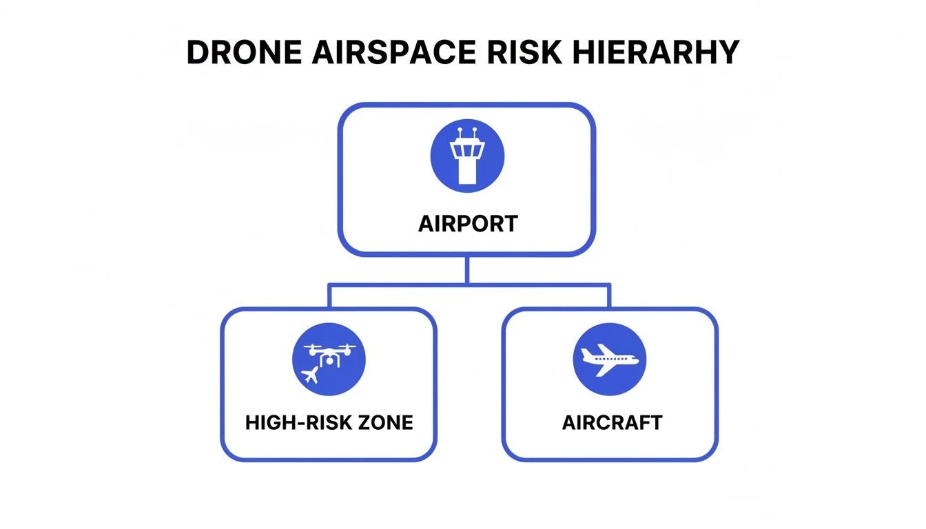
As the diagram makes crystal clear, the airport itself is the heart of the high-risk environment. It's ground zero for traditional aircraft and, consequently, creates hazardous zones where a drone strike could be catastrophic.
From Theory to Practice
Knowing the theory is one thing, but being able to identify these zones in the real world is what actually keeps you safe and legal. You can't just look up and see the lines drawn in the sky. This is exactly where modern drone operation platforms shift from being a simple convenience to an essential tool. They take complex aeronautical charts and translate them into clear, actionable intelligence you can use on the spot.
For a deeper dive into the nitty-gritty of each classification, check out our comprehensive guide to FAA airspace classifications.
The key takeaway here is that controlled airspace isn't a barrier designed to stop you; it's a system built for predictable and safe interactions between everyone using the sky. As a drone pilot, your job is to understand that system and slot into it perfectly.
Tools like Dronedesk build this airspace intelligence directly into the flight planning workflow. This gives pilots an instant, easy-to-read view of any restrictions, no-fly zones, or authorisation requirements for their planned mission area. It takes the guesswork out of the equation, ensuring every single mission is planned with safety and compliance baked in from the start. Without that clarity, you're pretty much flying blind.
How to Get Legal Approval to Fly Near Airports
Knowing the rules of the sky is one thing, but actually getting the green light for a flight is a whole different ball game. So, how do you legally get your drone in the air when you're working in the controlled airspace around an airport? The answer lies in a clever system built to connect drone operators directly with Air Traffic Control (ATC).
This system is called LAANC, which stands for Low Altitude Authorization and Notification Capability. The best way to think of LAANC is as a digital hall pass for the sky. Gone are the days of trying to call an airport tower and hoping for verbal permission. Instead, LAANC delivers near-instant, automated approval for drone flights right where you need them.
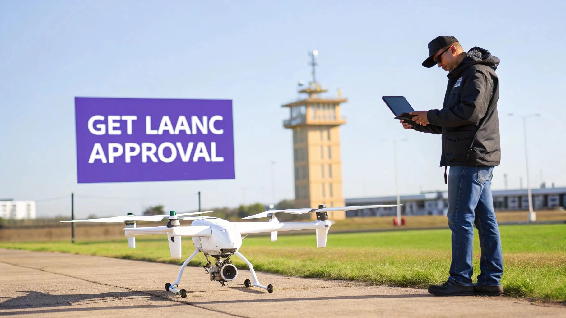
It works by connecting pilots to ATC through approved third-party apps, making communication seamless and approvals incredibly fast—often in just a matter of seconds. For any commercial drone pilot, mastering this process is non-negotiable.
Your Step-by-Step Guide to a LAANC Request
Submitting a LAANC request is pretty straightforward once you get the hang of it. Let’s imagine you’re doing a property survey for a client whose business sits right next to a regional airport, smack in the middle of Class D airspace.
Here’s how it would go down:
- Open a LAANC-Approved App: First up, you'll need an application that’s an FAA-approved UAS Service Supplier. Smart platforms like Dronedesk integrate these tools, keeping your planning and authorization neatly in one place.
- Define Your Flight Area: Next, you’ll draw a precise boundary on the map showing exactly where you plan to operate. The app will immediately display the FAA's UAS Facility Map for that spot, telling you the maximum altitude you can get approved for automatically.
- Enter Mission Details: You'll then punch in the date, start time, and flight duration, along with your Part 107 pilot info and drone registration number. Accuracy here is key.
- Request an Altitude: Based on that grid map, you’ll request an altitude up to the maximum shown—say, 100 feet. If you need to fly higher than the automated ceiling, LAANC isn't your tool. You'll have to go a different route.
- Submit and Await Approval: Once you hit submit, the request zips over to ATC digitally. For most requests that fall within the pre-approved altitude ceilings, you’ll get authorization back almost instantly via text or an in-app notification.
This real-time approval has completely changed the game, making legal flights near airports more accessible than ever before.
When LAANC Is Not Enough
LAANC is a fantastic tool, but it's not a silver bullet. It was designed for routine, low-risk jobs that fit neatly inside pre-defined boxes. There are plenty of situations where a simple LAANC request won’t get the job done, and you’ll need to apply for a more detailed airspace waiver.
You'll almost certainly need an airspace waiver if your mission involves:
- Flying above the pre-approved altitude ceiling shown on the UAS Facility Maps.
- Operating in a "zero-altitude" grid, where LAANC offers no automated approval at all.
- Flying at night in controlled airspace or other operations that require more complex planning.
An airspace waiver is a much more involved process. It requires you to submit a thorough safety case to the FAA, proving that you can manage all the associated risks to a level that meets or exceeds standard regulations.
Don't expect this to be a rubber-stamp approval. The FAA is notoriously strict, and the numbers back it up: 54% of waiver requests are rejected, with only 46% getting granted. This really pushes operators to build rock-solid safety plans.
If you find yourself needing to go this route, our guide on the Part 107 waiver application process is a great resource to walk you through everything that's required.
LAANC vs Airspace Waiver: Which Do You Need?
Picking the right authorization path from the start is critical for staying compliant and avoiding headaches. This table breaks down the key differences to help you quickly figure out which one fits your mission.
| Feature | LAANC Authorization | Airspace Waiver |
|---|---|---|
| Approval Speed | Nearly instantaneous for requests within approved altitude limits. | Can take up to 90 days or even longer for review and approval. |
| Use Case | Routine, short-term flights within pre-defined altitude grids. | Complex operations, flights above LAANC ceilings, or in zero-grid areas. |
| Application Process | Simple in-app submission with basic flight details. | A detailed safety case document submitted directly to the FAA. |
| Best For | A quick property survey at 100 feet near a Class D airport. | A nighttime infrastructure inspection at 300 feet near a Class C airport. |
At the end of the day, both systems are designed with one goal in mind: ensuring drones and crewed aircraft can share the sky safely. And while you're focused on getting flight approvals, don't forget that understanding liability insurance for drone contractors is another crucial piece of the puzzle for staying legal and protecting your business from risk.
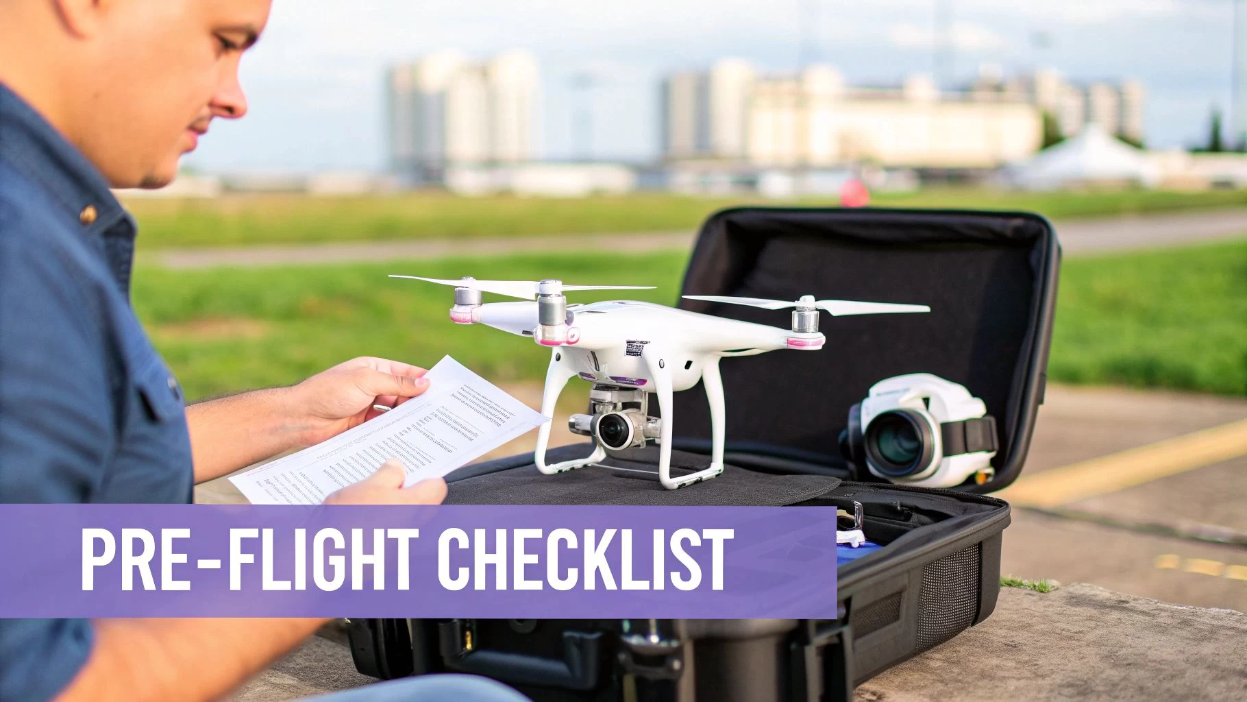
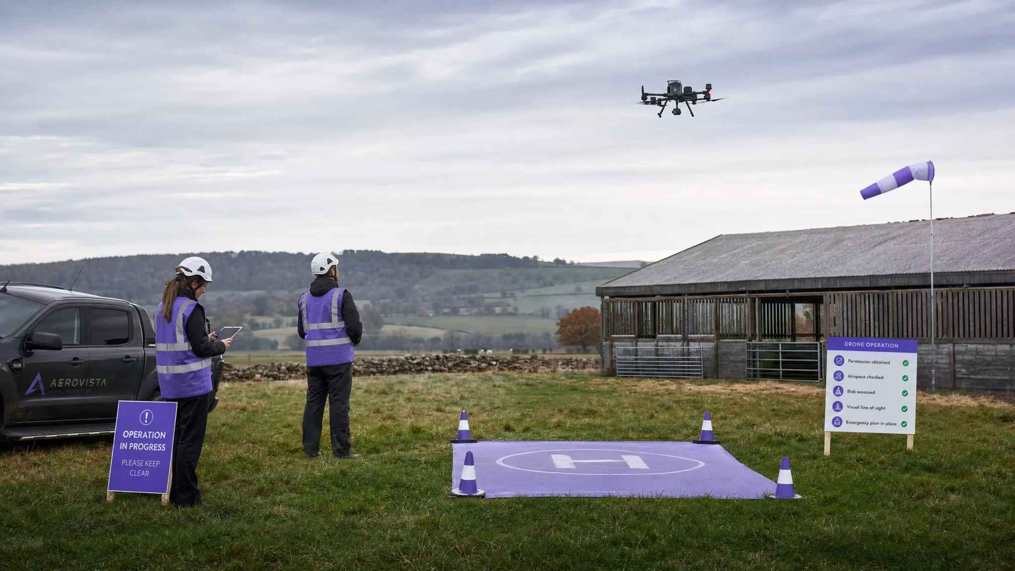
Your Essential Pre-Flight Safety Checklist
Getting that LAANC approval is a huge milestone, but your job isn't done yet. Not by a long shot. A successful mission near an airport comes down to what you do in those crucial moments right before takeoff. This is where a rock-solid pre-flight safety checklist becomes the most important tool in your arsenal, turning a high-stakes operation into one that's controlled, professional, and safe.
Think of it just like a commercial pilot’s final cockpit check. They don’t just cross their fingers and hope for the best; they verify every single system, item by item. For us drone operators in controlled airspace, that same level of diligence isn't just good practice—it's absolutely essential. It’s about creating a repeatable process that systematically stamps out risks before your props even twitch.
Beyond the Basics: What to Check Before Launch
Your standard pre-flight routine—checking batteries, props, and GPS lock—is still the foundation. But when you’re operating next to an airport, that list needs to grow. You have to add checks specifically for the dynamic nature of controlled airspace. These extra steps are designed to catch any last-minute changes that could ground your flight or, far worse, create a real hazard.
Here are a few critical items to bake into your workflow:
- Re-verify LAANC Authorization: Don't just assume the approval you got yesterday is still good to go. Moments before you plan to fly, open your app and confirm your authorization is active and valid for the exact time of your operation.
- Scan for Last-Minute NOTAMs and TFRs: Airspace is a living thing. A Temporary Flight Restriction (TFR) or a Notice to Air Missions (NOTAM) can pop up with almost no warning for anything from a VIP visit to an emergency response. A final scan is non-negotiable.
- Perform a Thorough Site Survey: Get your boots on the ground and walk the area. Identify potential ground-level hazards like power lines, trees, or pedestrian paths that could turn an emergency landing into a disaster. Pinpoint your primary and backup landing zones.
For a full rundown of every single item you should be looking at, our comprehensive drone preflight checklist gives you a step-by-step guide you can tailor to any mission.
Communication and Contingency Planning
One of the most commonly overlooked parts of a pre-flight check is confirming your communication plan. In an emergency, fumbling for a phone number is the last thing you want to be doing.
Before you fly, you must know exactly who to contact at Air Traffic Control (ATC) in the event of a flyaway, lost link, or any other critical failure. Have the airport's ATC phone number saved and immediately accessible.
This isn’t just about worst-case scenarios; it’s about professionalism. Being prepared shows you respect that you’re a guest in shared airspace and are ready to be a responsible partner in keeping it safe. The stakes are simply too high to wing it. Recent data shows that drones were involved in nearly two-thirds of reported near mid-air collisions with commercial airliners at the 30 busiest U.S. airports last year.
Ultimately, a detailed pre-flight checklist does more than just tick boxes. It cultivates a safety-first mindset that is non-negotiable when dealing with airports and drones. It ensures every flight you conduct is not only compliant with the rules but is also executed with the highest degree of professionalism and care—protecting you, your gear, and everyone else in the sky.
Mastering In-Flight Awareness and Emergencies
Once your drone is airborne, all that careful pre-flight planning gives way to the real test: in-flight situational awareness. This is where your skill as a pilot truly shines, especially in the fast-paced airspace near an airport. Successfully navigating this environment means staying one step ahead, actively monitoring your surroundings, and knowing exactly what to do when things go sideways.
Your main job now is constant vigilance. This is way more than just keeping an eye on your drone. It’s a "head-on-a-swivel" approach, where you're continuously scanning the sky for manned aircraft. Never forget, you are a small, temporary guest in a world dominated by fast-moving jets and helicopters.
Proactive Incident Avoidance Techniques
Dodging a dangerous encounter is always, always better than reacting to one. This starts with a solid understanding of how air traffic typically flows around the airport you're operating near. Manned aircraft follow predictable patterns when taking off and landing, and knowing these paths helps you see potential conflicts before they ever develop.
Before you even launch, and while you're in the air, get a clear mental map of these key areas:
- Final Approach Paths: Pinpoint the corridors where planes will be descending to land.
- Departure Corridors: Note the directions aircraft fly immediately after takeoff.
- Helicopter Routes: Be extra mindful of helicopters. They often fly lower and take more direct routes than planes, making them a significant factor to watch for.
The golden rule of in-flight safety is brutally simple: see and avoid. As the drone pilot, the entire responsibility rests on your shoulders to yield the right-of-way to all manned aircraft, no questions asked.
This proactive mindset transforms you from just a drone flyer into an active participant in airspace safety. You’re not just flying your mission; you’re managing your operation within a much larger, shared system.
Executing Emergency Protocols Under Pressure
Even with the best planning in the world, things can go wrong. A sudden GPS signal drop, a critical battery warning, or the unexpected appearance of a low-flying aircraft can throw you into a high-pressure situation in a heartbeat. How you react in those first few seconds is what separates a controlled event from a serious incident.
Your emergency protocols shouldn't be something you have to look up—they need to be second nature.
-
Lost GPS Signal: If your drone loses its GPS lock, it will likely switch to ATTI (Attitude) mode. This is a big deal. It won't hold its position and will start drifting with the wind. You must be ready to take immediate manual control and fly the aircraft back home without any GPS assistance.
-
Critical Battery Failure: Modern drones give you plenty of low-battery warnings. The very first one should be your cue to trigger an immediate return-to-home (RTH). Don't ever push your battery limits, especially in controlled airspace where a forced landing could be catastrophic.
-
Unexpected Manned Aircraft: If you see or hear an aircraft getting close, your first and only move is to get out of the way. Decrease your altitude immediately and fly your drone away from its path. Land if you have to. Your goal is to create as much separation as you can, as fast as you can.
These scenarios are exactly why staying calm and trusting your training is so critical. Panic is the enemy; it leads to terrible decisions. A clear, well-practiced emergency plan allows you to respond decisively, turning a potential crisis into a manageable problem and keeping the skies safe for everyone.
Common Questions About Flying Drones Near Airports
Even when you feel like you've got a handle on airspace rules, flying near airports can still feel a bit nerve-wracking. The relationship between drones and airports is naturally complex, but if we clear up a few of the usual gray areas, you'll have the confidence you need for safe, compliant missions.
Let's jump right into some of the questions I hear all the time.
One of the biggest points of confusion is always about distance. Pilots constantly ask, "How close can I actually fly to an airport?" The thing is, there’s no simple answer, like "five miles." It has nothing to do with a specific distance and everything to do with the airspace classification. The bottom line is you need authorization to fly inside any controlled airspace, regardless of how far you are from the runway.
Clarifying Authorization and Denials
So, what happens if your LAANC request gets denied? This is another big one. A denial isn't a final "no." It usually just means the specific altitude or location you requested isn't safe at that moment. The first thing you should do is resubmit your request with a lower altitude or tweak your flight zone slightly. If you happen to be in what's called a "zero-altitude grid," you won't get that automated approval and will have to go through the more involved airspace waiver process.
The core principle is simple: both recreational and commercial pilots need authorization to fly in controlled airspace. The rules might differ—Part 107 for commercial pilots, TRUST guidelines for hobbyists—but the absolute mandate to stay out of the way of manned aircraft applies to everyone.
This isn't just bureaucratic red tape; it’s a direct response to a frightening number of real-world incidents. States like California are hotspots, accounting for 18% of reported drone incidents. Add in Florida, New York, Texas, and New Jersey, and you're looking at 52% of over 2,000 cases in just one year.
These aren't just numbers on a page. They represent genuine chaos, like the 34 unauthorized drone flights tracked near San Diego airports in early 2024. One of those drones climbed to a terrifying 8,800 feet, right into active jet paths. You can get more details on this growing threat over at SkySafe.io.
Planning flights, getting authorization, and logging everything near airports doesn't have to be a headache. Dronedesk brings all the critical tools—from airspace intelligence and LAANC requests to mission planning and compliance logs—into one straightforward platform. Ditch the manual stress and fly with confidence at https://dronedesk.io.
 British Drone Laws Explained for Commercial Operators →
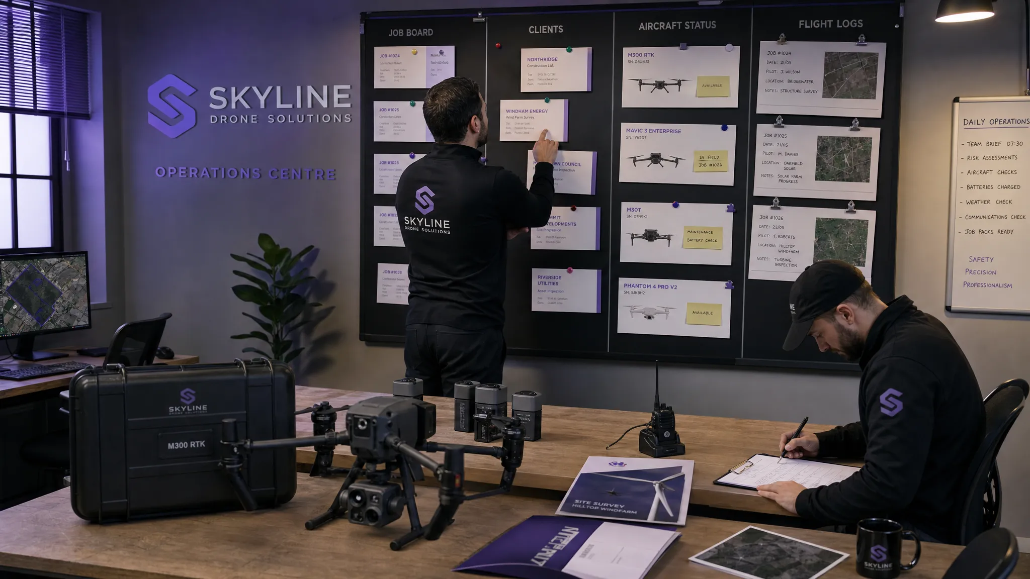 Commercial Drone Services: How to Scale Without Chaos →
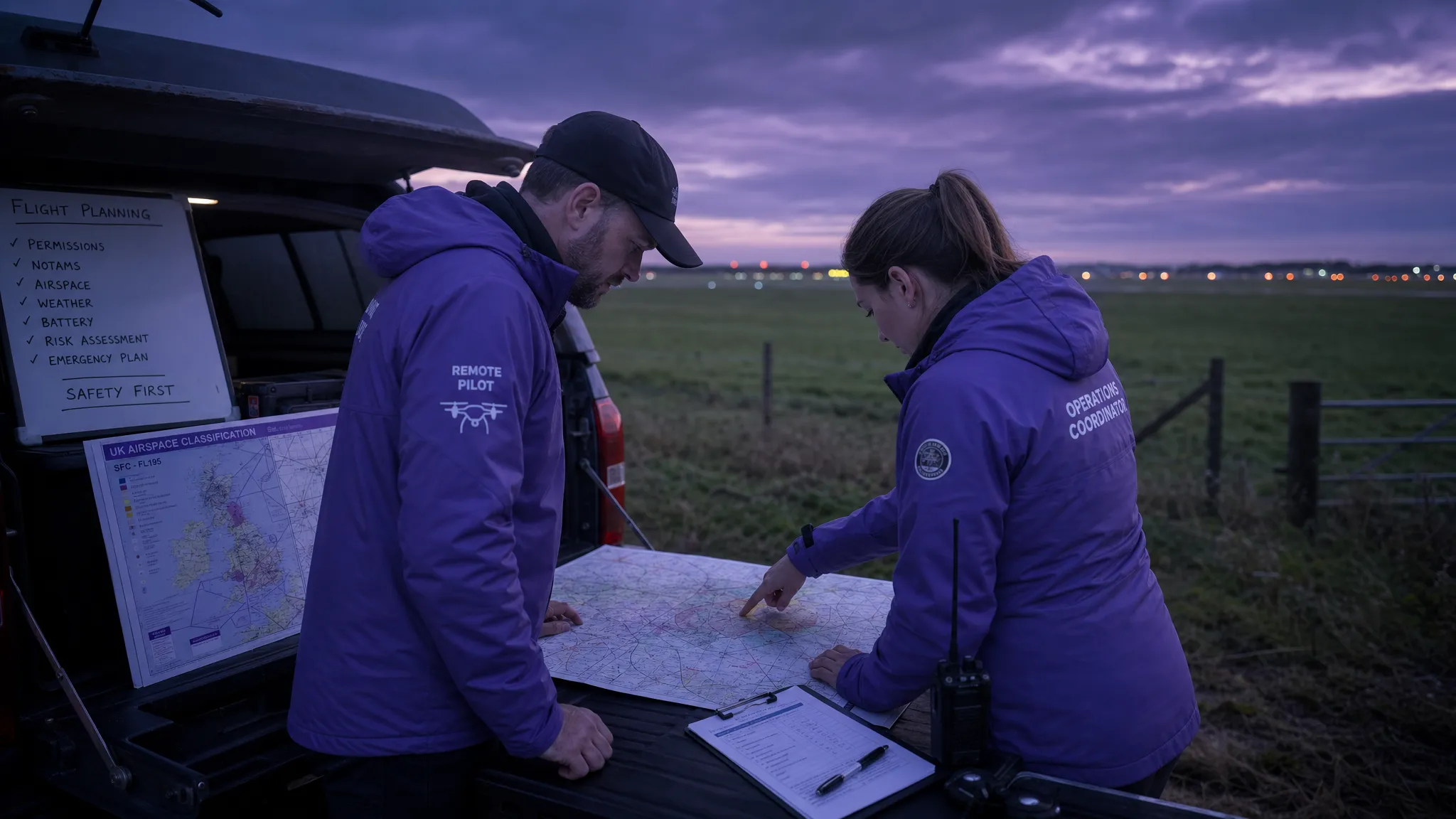 Drone Airspace Map Guide for Safer UK Flight Planning →
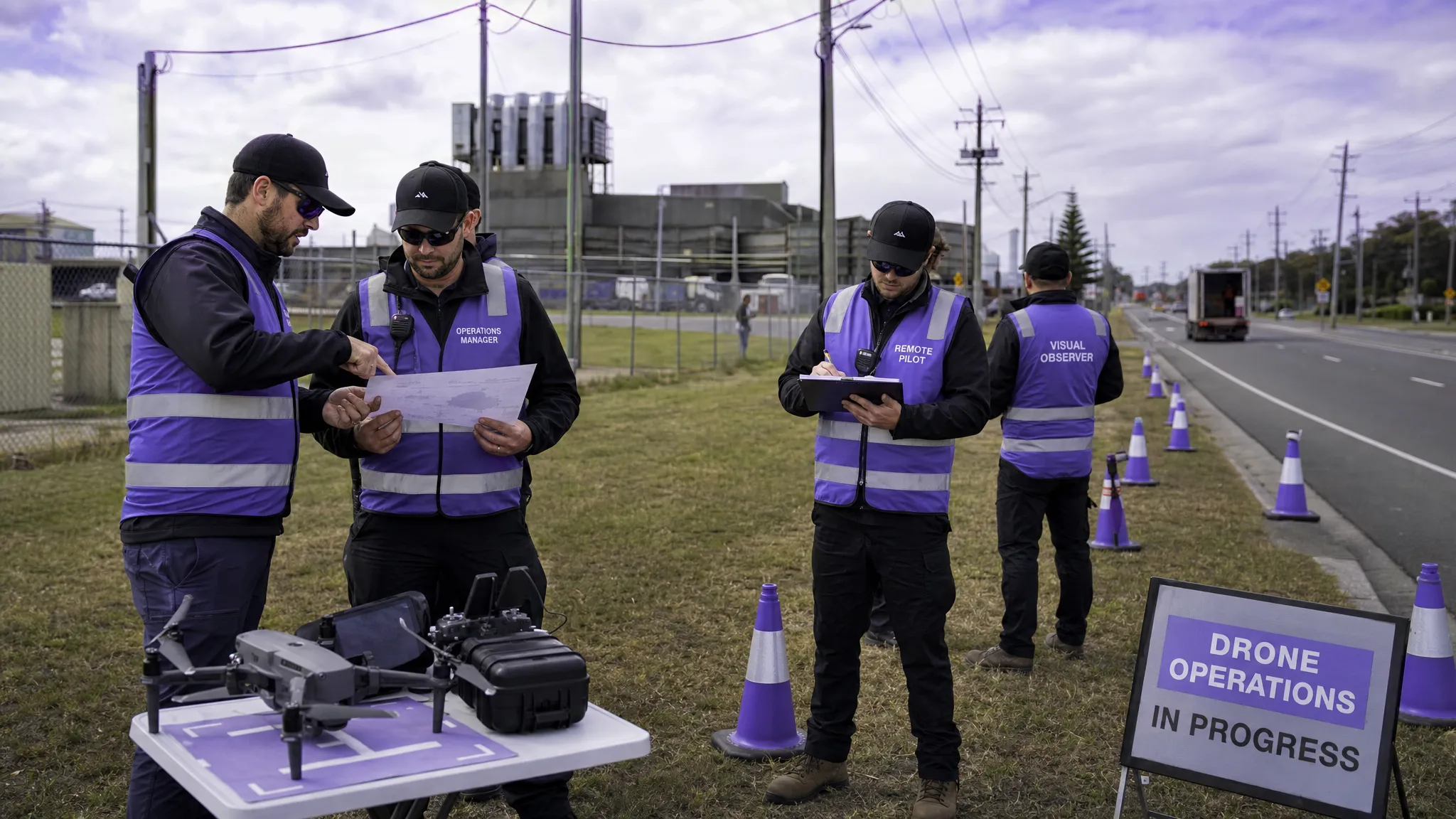 How to Build a Drone Flight Risk Assessment That Works →
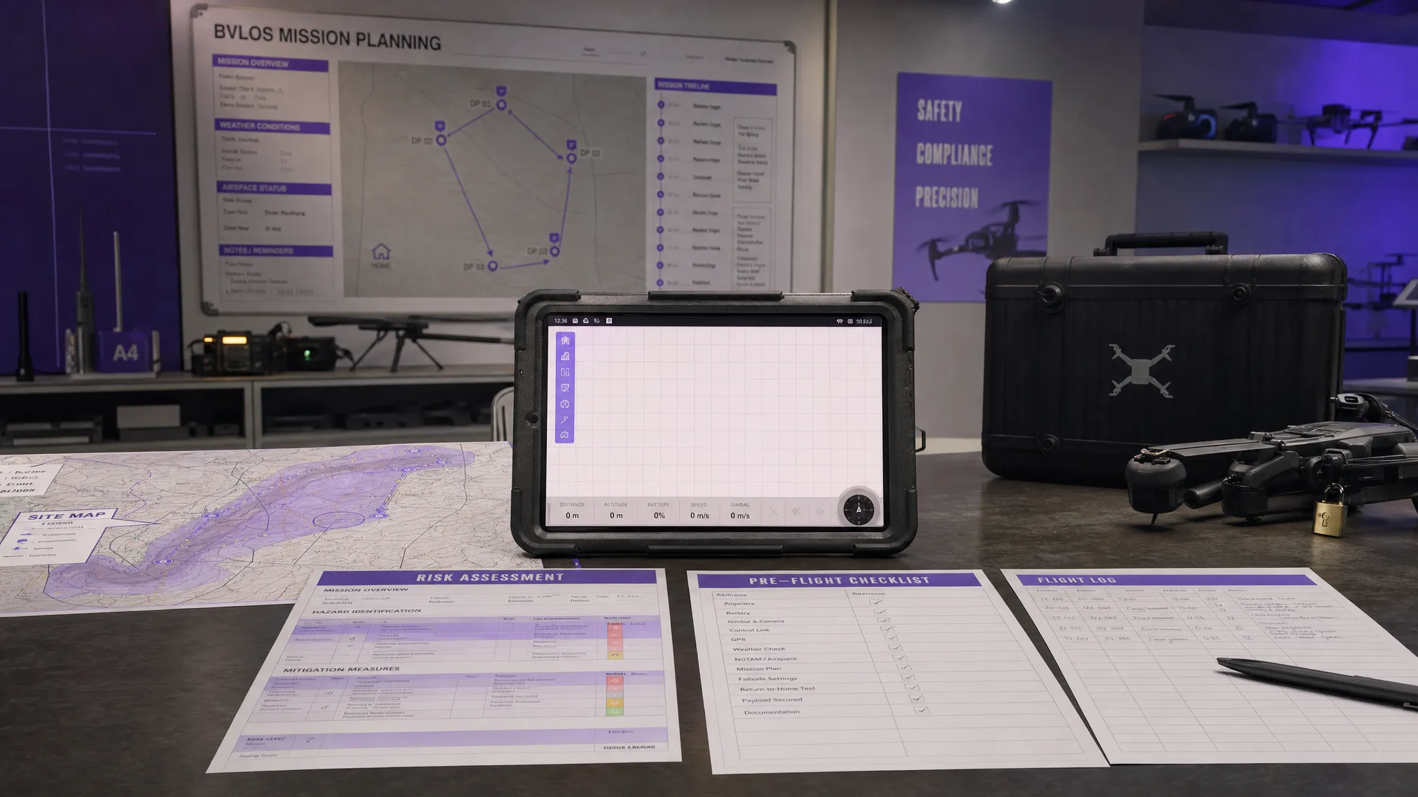 BVLOS Meaning Explained for Commercial Drone Teams →
 Drone Mapping Companies: How to Choose the Right Partner →
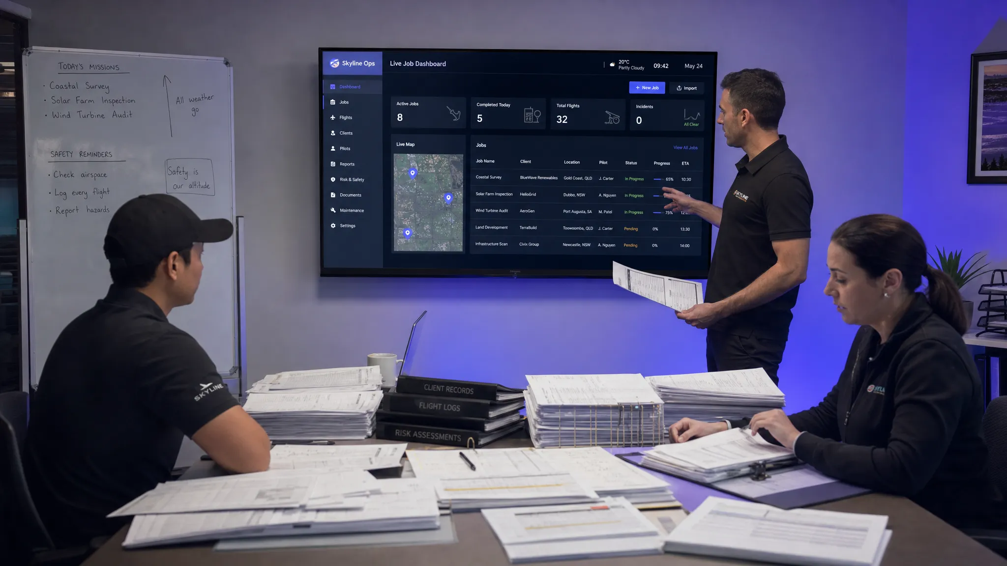 Why Drone Operations Management Software Beats Spreadsheets →
 How to Build a Drone Business Website That Wins Clients →
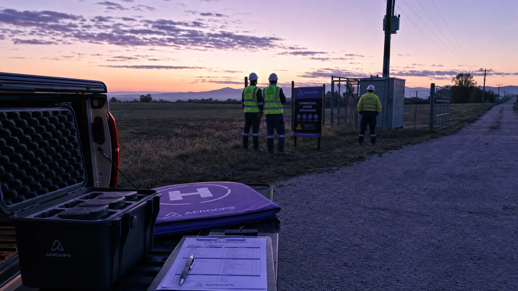 Drone Safety Checklist for Commercial Flights →
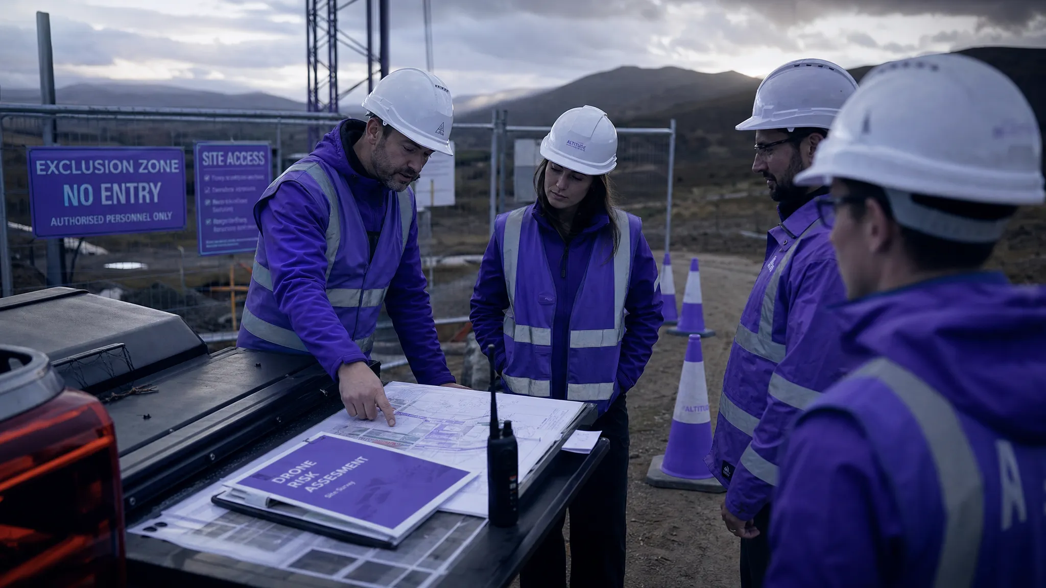 Drone Risk Assessment Template for Commercial Operations →