Restricted Airspace Map - Navigate Safely
Navigating the Complex World of Restricted Airspace

Understanding restricted airspace is crucial for safe and legal flight operations. These designated areas protect sensitive locations and ongoing activities from potential aircraft interference. Access can be limited or entirely prohibited, depending on the specific restrictions.
Common examples include areas around military training exercises, critical infrastructure sites, or major public events.
Why Restricted Airspace Exists
Restricted airspace serves several vital purposes. It is a cornerstone of national security, safeguarding areas essential for a country's defense. It also protects critical infrastructure, like power plants and government facilities.
Restricted airspace can also be implemented temporarily. This could be to manage safety during large gatherings or in response to emergencies like wildfires or natural disasters. This flexible approach helps ensure safety for everyone, both in the air and on the ground.
In the United States, restricted areas are marked with an 'R' followed by a number on en route charts. These areas often contain hazards, such as artillery firing or guided missiles, making them dangerous for non-participating aircraft. The Federal Aviation Administration (FAA) regulates these areas. IFR flights may be permitted under specific conditions. These regulations reflect the continually evolving focus on aviation safety, designed to protect both military and civilian aircraft. You can explore this topic further here.
Understanding Restricted Airspace Maps
A restricted airspace map is a vital tool for pilots. It visually displays restricted zones, offering important information about their location, altitude limits, and activation times. This helps pilots avoid accidentally entering restricted airspace. This ensures compliance with regulations and prevents dangerous situations.
Classifications and Depictions on Maps
Restricted airspace is often classified based on the level of restriction. These classifications are typically shown on maps using different colors and symbols. Some areas might allow transit with prior permission, while others completely prohibit any aircraft. These visual cues are essential for quick assessment during flight planning. This makes pre-flight checks much more efficient and improves situational awareness in flight.
Importance for Drone Operators
The rise in drone usage has added complexity to restricted airspace management. Drone operators, just like traditional pilots, must understand and follow these restrictions. Failure to do so can result in penalties, endanger other aircraft, and compromise secure locations.
Fortunately, several resources and tools exist to help drone operators. These include specialized apps and websites providing up-to-date information on temporary flight restrictions and other essential airspace data. Understanding and respecting these restrictions is crucial for safe and responsible drone operation.
Decoding Restricted Airspace Maps Like a Pro

Understanding restricted airspace is crucial for safe drone operations. Now, let's explore how to interpret the maps that pinpoint these critical zones. Properly reading a restricted airspace map is essential for legal and safe flights. This means understanding the symbols, colors, and notations used. With this knowledge, you can confidently plan your flights and avoid any potential issues.
Key Symbols and Colors
Restricted airspace is often marked with unique visual indicators. In the United States, VFR sectional charts use a blue hatched border along with an "R" followed by a number. This clear marking makes these areas easily identifiable. Color variations can also indicate different restriction levels, providing a quick visual reference.
Altitude and Time Restrictions
Restricted airspace maps show more than just location; they also detail altitude and time restrictions. Altitude limits, typically expressed as MSL (Mean Sea Level) values, are usually displayed near the restricted area. Equally important are time restrictions, which are common for military training areas or other intermittent activities. These times are displayed using standardized formats. Having this information readily available is key to safe and legal flight planning.
Understanding Lateral Boundaries
Knowing how to interpret the lateral boundaries of restricted airspace is essential. These boundaries define the horizontal extent of the restricted zone, often following geographical features or specific coordinates. Understanding these boundaries helps prevent unintentional incursions into restricted airspace. For more in-depth guidance on interpreting these maps, take a look at this helpful resource: How to master restricted airspace maps. Proper interpretation is vital for both pre-flight planning and in-flight decision-making.
Common Misinterpretations and Cross-Referencing
Even experienced pilots can misinterpret restricted airspace maps. A common mistake is assuming a restricted area is always active. However, many restrictions have specific activation times. This is why cross-referencing your map with other sources, like NOTAMs (Notices to Airmen), is so important. For further information, check out this guide: How to master restricted airspace maps. This helps ensure you have the most current and accurate information, avoiding costly violations.
Digital Mapping Platforms
Many modern flight planning apps, like ForeFlight, and digital charting systems offer interactive restricted airspace maps. These platforms provide detailed information about each restricted area, including the controlling agency, contact details, and reasons for the restriction. This readily accessible information simplifies flight planning and improves overall situational awareness.
To help illustrate the different ways restricted airspace is displayed, let's look at the following comparison table. It showcases how various platforms present this crucial information.
Restricted Airspace Map Symbols Across Platforms
| Platform/Provider | Restricted Area Symbol | Altitude Notation | Time Restriction Format | Special Features |
|---|---|---|---|---|
| ForeFlight | Blue hatched border, "R" followed by a number | MSL values displayed adjacent to the area | Specific times or time ranges | Interactive map with detailed information |
| SkyVector | Similar to ForeFlight | MSL values displayed adjacent to the area | Specific times or time ranges | Interactive map with less detailed info |
| FAA Sectional Charts (paper) | Blue hatched border, "R" followed by a number | MSL values next to area | Specific times | Limited interactivity |
This table highlights the importance of understanding the specific symbology used by your chosen platform. While there are some similarities, variations exist and recognizing these differences is critical for safe flight operations.
Global Navigation: Restricted Airspace Across Borders

International flight operations add a new level of complexity to understanding restricted airspace. Pilots transitioning from domestic to international flights often face significant differences in how these restrictions are presented and managed. This section explores navigating this complex landscape.
International Standards and Regional Variations
While general airspace management principles remain fairly consistent, the specific implementation of restricted airspace varies significantly between countries. This can be attributed to different security concerns, geographical features, or even cultural factors.
For example, a country with a history of conflict may have more restricted zones. The International Civil Aviation Organization (ICAO) plays a vital role in setting global airspace management standards. ICAO provides guidelines through Standards and Recommended Practices (SARPs).
However, individual countries may impose additional restrictions based on their unique needs, such as military operations or environmental protection. These restrictions maintain international aviation safety while accommodating national security and environmental concerns. Learn more about international airspace management here.
Accessing Accurate Information in Unfamiliar Territories
One of the biggest challenges for international pilots is accessing accurate, up-to-date information about restricted airspace in unfamiliar territories. Different countries may use different charting systems, notation, and even languages to describe these restrictions. This emphasizes the importance of thorough pre-flight planning and using reliable information sources.
Strategies for Staying Current on Foreign Airspace Changes
Staying informed about changes to foreign airspace regulations is critical. Restricted airspace can change quickly, so pilots need real-time updates. Here are some helpful resources:
- International NOTAMs: These notices provide essential updates on airspace changes, including temporary restrictions.
- Aviation Authorities: Each country’s aviation authority publishes its airspace regulations.
- Flight Planning Software: Many flight planning platforms offer real-time airspace updates and alerts.
Practical Examples and Proven Techniques
Learning from other international pilots’ experiences is invaluable. Examining real-world examples of successful navigation of complex international airspace restrictions offers practical insights and best practices. Understanding common errors can help you avoid potential violations.
Harmonization Efforts and Persistent Differences
Despite efforts to harmonize airspace management practices internationally, key differences remain. Pilots must be aware of these differences and adjust their flight planning accordingly. Understanding these nuances, like language barriers and varying technology levels, is crucial for safe and compliant operations. By recognizing potential challenges, pilots can implement strategies to minimize risk and ensure smooth international flights.
Mastering Dynamic Restricted Airspace Changes

Staying informed about restricted airspace changes is crucial for safe flight operations. This dynamic environment demands constant attention, as restrictions can change rapidly. Pilots and drone operators must be proactive to keep ahead of these changes. Understanding why these changes occur is the first step towards maintaining safety and compliance.
Triggers Behind Restricted Airspace Changes
Several factors can trigger sudden restricted airspace changes. VIP movements, often implemented with little warning, frequently cause temporary flight restrictions. Natural disasters, such as wildfires or earthquakes, can also necessitate immediate airspace closures for safety and emergency response.
Large-scale public events or security incidents can also lead to short-term restrictions. In recent years, global conflicts have also significantly affected restricted airspace. For instance, restrictions have been imposed in areas like the Middle East due to military actions and missile threats.
In January 2020, the U.S. FAA issued an emergency order restricting U.S. operators from flying over Iraq and Iran due to escalating tensions. These situations emphasize the fluctuating nature of restricted airspace and the importance of staying updated. For more on geopolitical impacts, see Safe Airspace.
Real-Time Monitoring Systems
Several systems help pilots and drone operators monitor restricted airspace changes in real-time. These systems differ in features, how often they update, and access methods. Many flight planning apps offer alerts and updates directly to users’ devices. Government aviation agencies often have websites and databases with current restrictions. For more information on this topic, you might find this article helpful: How to Master FAA Facility Maps. Specialized third-party services provide comprehensive tracking and notification options. Evaluating these platforms helps pilots and operators select the right tools for their individual requirements.
To help you research available resources, we've compiled the following table:
Introduction: The table below lists key resources for staying up-to-date on restricted airspace information. This list includes both official government sources and third-party services.
| Resource Name | Type of Information | Update Frequency | Access Method | Best For |
|---|---|---|---|---|
| FAA Website (faa.gov) | TFRs, NOTAMs, other airspace restrictions | Continuous | Website, API | U.S. airspace |
| DroneDesk | Airspace information, maps, planning tools | Real-time & Daily | Website, App | Drone operators |
| Safe Airspace | Geopolitical events impacting airspace | Varies | Website | International flights |
| Flight planning apps (e.g., ForeFlight, Garmin Pilot) | Airspace restrictions, weather, navigation data | Real-time | Mobile app | Pilots |
| Third-party services (e.g., AirMap, Kittyhawk) | Airspace authorization, flight planning, LAANC access | Real-time | Website, App | Drone operators |
Key takeaway: Choosing the correct resources for real-time airspace information is a crucial step in flight planning for both drone operators and traditional pilots.
Incorporating Last-Minute Changes
Even with the best planning, last-minute restricted airspace changes can arise. This is why having solid contingency plans is essential. Pilots should always have backup routes or landing locations in mind. Open communication with air traffic control is vital. Check our guide on FAA facility maps for more info. A flexible flight plan enables adjustments while maintaining safety and compliance. For drone operators, this could mean postponing or changing a planned flight.
Contingency Procedures for Mid-Flight Encounters
Unexpectedly encountering restricted airspace during a flight is a serious scenario. Established procedures guide pilots to maintain compliance while ensuring safety. These typically involve contacting air traffic control immediately. Following their directions is crucial for resolving the situation safely. Pilots should also know emergency transponder codes. These codes communicate the issue to air traffic control and other aircraft quickly. This facilitates coordinated responses and reduces incident risks.
Drone Operations in a World of Restricted Airspace
Understanding restricted airspace maps is crucial for today's drone pilots. Commercial drone operators and regulatory bodies stress the importance of specialized tools and methods for safe and compliant unmanned flights. This requires learning a new set of regulations and how to apply them correctly.
Drone-Specific Maps vs. Traditional Aviation Charts
Drone pilots must distinguish between drone-specific maps and traditional aviation charts. While both offer crucial airspace information, drone maps often include details specific to UAS (Unmanned Aircraft Systems) operations. For instance, they might indicate areas where LAANC (Low-Altitude Authorization and Notification Capability) is available, simplifying airspace authorization. Some drone maps even integrate real-time data, providing dynamic updates on temporary flight restrictions and airspace changes.
These dynamic updates are invaluable for drone pilots, allowing them to adapt their flight plans on the fly and avoid potential conflicts. Traditional aviation charts, while still important, may not provide this level of detail specifically tailored for UAS operations.
Integrating UAS Facility Maps with Existing Restrictions
Combining UAS facility maps with existing airspace restrictions adds another layer of complexity. Drone pilots must navigate both traditional restrictions and drone-specific limitations. This could involve using layered maps in their flight planning software or referencing multiple sources for a complete airspace view. Misunderstanding this integrated picture can lead to airspace infringements and safety risks, particularly near airports or controlled airspace. For a deeper understanding of drone regulations, check out this helpful resource: How to Master Drone Regulations.
The ability to interpret and integrate various data sources is a key skill for any responsible drone pilot. This ensures they operate within the legal boundaries and maintain the safety of other airspace users.
Success Stories and Cautionary Tales
Real-world incidents demonstrate the importance of correctly using a restricted airspace map. There are many examples of drone operators successfully navigating complex restrictions through careful flight planning and proper authorization. However, there are also cautionary tales of airspace violations. These violations can result in penalties ranging from fines and equipment seizure to criminal charges in serious cases. These stories underscore the need for continuous awareness and responsible drone operation.
Learning from both successes and failures in drone operations is a valuable way to improve safety and compliance within the industry. Sharing these experiences helps create a more informed and responsible drone community.
Emerging Technologies in Drone Airspace Management
New technologies are changing drone airspace management. Automated authorization systems like LAANC expedite flight approvals, giving drone operators easier access to controlled airspace. Real-time geofencing, built into many modern drone platforms, adds another layer of safety by automatically preventing drones from entering restricted areas. These innovations contribute to a safer and more efficient drone ecosystem. As technology advances, we can expect even more sophisticated tools and systems for managing drone airspace, further enhancing safety and efficiency.
Strategic Route Planning Around Restricted Zones
Smart drone pilots don't just avoid restricted airspace—they strategically plan their routes around it. Understanding the factors influencing route selection is crucial. These include the location and size of restricted zones, any altitude and time restrictions, and possible alternative routes. Let's explore how skilled pilots create efficient flight paths while respecting airspace boundaries.
When To Request Transit vs. Reroute
A key decision in route planning involves choosing between requesting permission to fly through a restricted zone (transit authorization) or rerouting around it. Requesting authorization offers the most direct route, saving time and battery power. However, this requires advance planning and coordination with the relevant authority, such as submitting a flight plan and following specific communication procedures.
Rerouting, while potentially increasing flight time, offers more flexibility and avoids the administrative process of obtaining authorization. This is often better for shorter flights or when time constraints make obtaining prior authorization impractical. The best choice depends on the type of restriction, flight urgency, and the pilot’s knowledge of the area.
Calculating Buffer Zones
Even when rerouting, maintaining a safe buffer zone around restricted airspace is crucial. This reduces the risk of accidentally entering the restricted zone due to navigational errors or unexpected wind. Pilots usually calculate buffer zones based on the restricted area's size, weather conditions, and the drone's performance. A larger restricted zone or stronger winds will require a larger buffer zone.
For example, a small restricted area might need a buffer of only a few miles, while a larger or more sensitive one might need a buffer of 10 miles or more. This extra margin of safety provides valuable protection against unforeseen deviations.
Altitude Adjustments For Clearance
Managing altitude is another vital part of strategic route planning. Restricted areas often have vertical limits, and pilots must adjust their flight altitude accordingly. This might involve flying above or below the restricted airspace, depending on the specific restrictions and surrounding terrain. Sometimes, a combination of rerouting and altitude adjustments is needed to completely avoid the restricted area.
For example, consider a restricted area from the surface up to 5,000 feet. A pilot could fly above this, at 6,000 feet, if terrain and other airspace regulations allow. If the restricted area only covers a small horizontal area, the pilot might maintain their desired altitude and simply navigate around it.
Step-By-Step Planning Examples
Professional drone pilots typically use a step-by-step process for efficient routes around restricted airspace:
- Identifying Restricted Areas: Use resources like restricted airspace maps, NOTAMs, and other sources to identify all restrictions along the planned route.
- Assessing Restrictions: Determine each restricted zone's specifics, including altitude and time limits.
- Evaluating Options: Decide between requesting transit authorization or rerouting, considering time, battery life, and administrative effort.
- Calculating Buffer Zones: Establish safe buffer zones to accommodate potential deviations.
- Planning Alternative Routes: Design alternative routes that avoid restricted zones while minimizing extra flight time.
- Verifying Clearance: Use navigation tools and charts to confirm sufficient clearance from all restrictions.
Contingency Techniques for Emergencies
Emergencies can create difficult situations. Pilots must adapt if unexpected circumstances arise, like deviating from the planned route to avoid bad weather or requesting emergency entry into a restricted area due to technical problems. In these situations, safety takes priority.
Clear communication with air traffic control is essential during emergencies. Pilots should clearly explain the situation and their actions. Following emergency procedures, along with quick thinking and decisive action, helps mitigate risks and ensure a safe outcome.
Ready to improve your drone operations and navigate restricted airspace confidently? Explore Dronedesk's advanced airspace intelligence features and experience the future of drone management.
 BVLOS Drone Meaning and Why It Matters →
 Drone Operation Regulations Explained for Businesses →
 How to Pass Your Drone Pilot License Test →
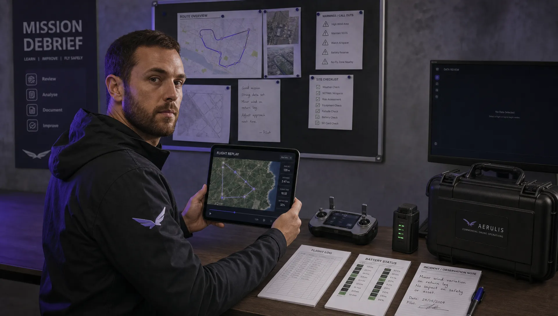 How to Review a DJI Flight Record After a Mission →
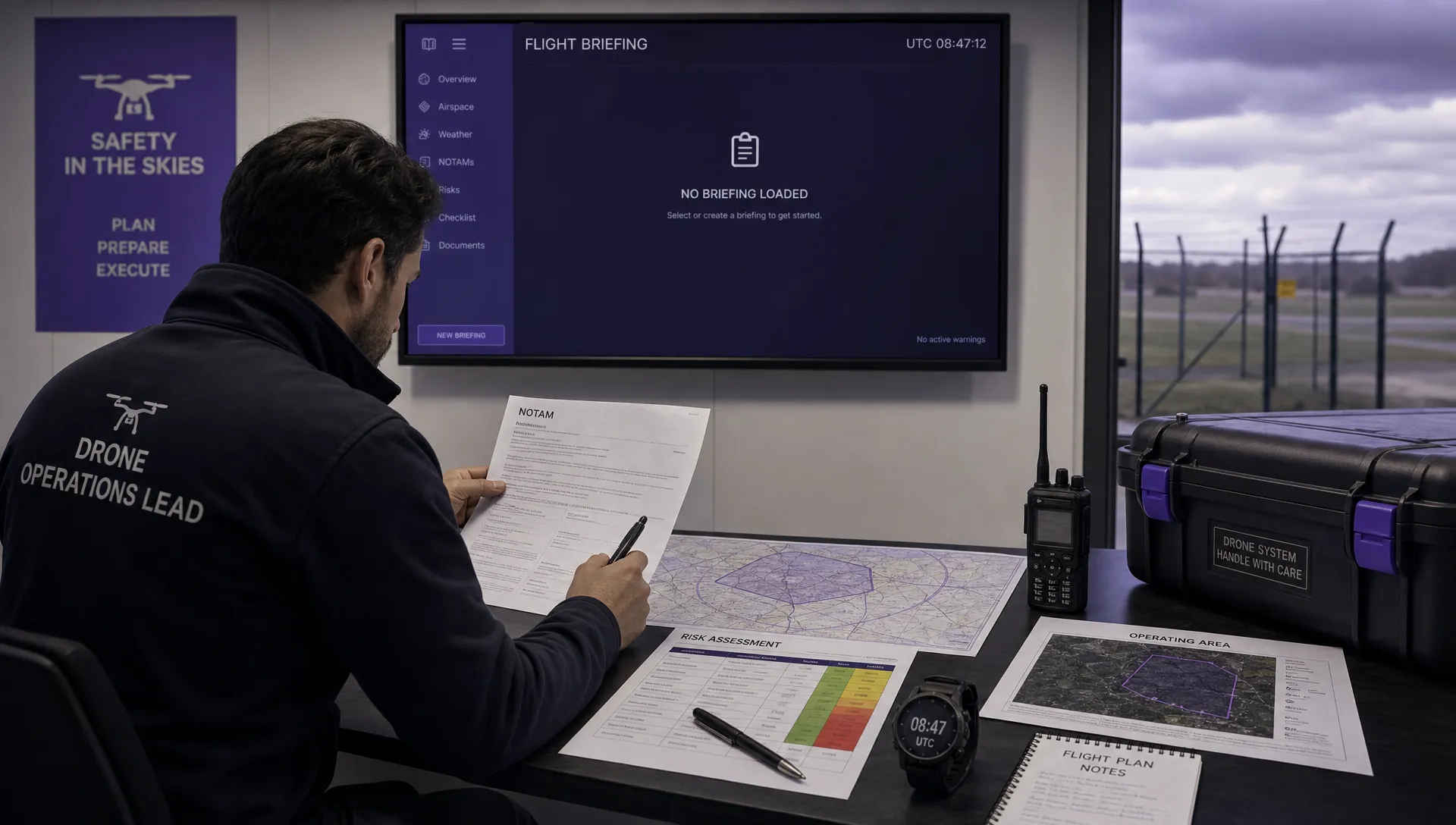 How to Check a Drone NOTAM Before You Fly →
 Part 108: What Drone Operators Should Expect →
 Beyond Visual Line of Sight BVLOS Explained →
 Drone Laws and Regulations Every Team Should Review →
 Current Drone Laws: What Changed in 2026? →
 JARUS SORA Explained in Plain English →