The Ultimate Map of Restricted Airspace - Your Expert Guide to Understanding No-Fly Zones
Understanding the Foundations of Restricted Airspace

Flying an aircraft requires careful attention to airspace restrictions. Whether you're a commercial pilot or private aviator, knowing how to read and interpret restricted airspace maps is essential for safe operations. These restrictions exist for specific reasons and come with different rules that all pilots must follow.
Types of Restricted Airspace
1. Prohibited Airspace:
These are complete "no-fly zones" established around sensitive areas like military bases and government buildings. Flying through prohibited airspace can result in serious legal penalties and security responses.
2. Restricted Airspace:
These zones allow limited access with proper clearance. You'll often find them around military training areas or testing grounds. Pilots need advance permission to enter these spaces.
3. Special Use Airspace:
This category includes warning areas and alert zones where potentially dangerous activities take place. Pilots should carefully review these areas during flight planning to ensure safe passage.
Reasons Behind Airspace Restrictions
There are clear reasons why certain airspaces are off-limits:
- National Security: Keeping sensitive facilities safe from aerial observation or threats
- Safety Concerns: Protecting aircraft from hazardous conditions or activities
- Environmental Protection: Minimizing disruption to wildlife and preserving historical sites
A good example of how geopolitics affects airspace is the Israel-Palestine situation. Due to ongoing tensions, Israeli aircraft cannot enter the airspace of several countries, including Iran and Syria. Learn more about these restrictions on Wikipedia's prohibited airspace page.
Establishing and Enforcing Restricted Zones
Aviation authorities work with military and civilian agencies to create and manage restricted zones. They assess safety needs, security requirements, and potential impacts before setting boundaries.
- Charts and Identification:
- United States: Look for blue hatched borders marked with "R" and numbers on VFR charts
- International Markers: Different countries use their own systems - pilots must study local chart symbols
Real-World Implications
For pilots, these restrictions directly impact daily operations. Flying in complex airspace requires constant attention to changing conditions and rules. For practical guidance on managing airspace communications, check out this guide on finding and using airspace contact information.
Understanding these zones and following their rules helps maintain safety in our shared skies while protecting important ground-based activities.
Critical Global Hotspots and Security Implications

The world of aviation security is in constant motion. Restricted airspace maps change frequently as global events unfold, creating real challenges for flight operations. When conflicts break out or political tensions rise, airlines must quickly adapt their routes - often leading to longer flight times and higher costs. For safe operations, it's essential to understand where these restricted areas are and how they affect flight planning.
Identifying Emerging Hotspots
Staying ahead of aviation restrictions requires careful attention to world events. Pilots and planners must actively monitor multiple information sources, including news updates, security bulletins, and Notices to Airmen (NOTAMs). Tools like Dronedesk help by providing real-time alerts about airspace changes. This proactive approach helps teams spot potential issues before they disrupt flight operations.
Real-World Impact on Aviation
When airspace becomes restricted, the effects ripple through the entire aviation industry. Airlines often need to fly longer routes to avoid restricted zones, burning more fuel and causing delays. For instance, current restrictions in Haiti prevent U.S. aircraft from flying below 10,000 feet MSL due to security concerns. These limitations affect everything from passenger flights to cargo deliveries and research missions. You can learn more about current restrictions at Safe Airspace.
Adapting to Evolving Security Situations
Smart flight planning is key to handling restricted airspace effectively. Major airlines use advanced systems to track airspace changes in real time and maintain backup route options. Private operators can stay informed using planning tools like Dronedesk to check temporary flight restrictions. Having this information helps crews adjust their routes quickly while keeping safety the top priority.
Strategies for Safe Operations in Complex Environments
Flying safely in challenging airspace requires a clear approach:
- Pre-Flight Planning: Research all airspace rules and restrictions thoroughly before departure
- Real-Time Monitoring: Use available tools to track airspace updates during flight
- Communication: Keep clear contact with air traffic control and relevant authorities
- Contingency Plans: Have backup routes ready in case restrictions change mid-flight
Following these key steps, while staying current on airspace restrictions, helps ensure safe and effective flight operations across complex environments.
Mastering Restricted Airspace Navigation Tools

Flying safely in restricted airspace requires mastery of both traditional and modern navigation tools. Pilots need to be skilled at reading aeronautical charts while also making good use of digital platforms that provide real-time updates. This dual approach helps ensure you always know exactly where you can and cannot fly.
Deciphering Aeronautical Charts
Paper charts remain essential for every pilot's toolkit. On VFR sectional charts in the United States, you'll spot restricted areas marked by a blue hatched border with an "R" number label. Each number corresponds to details in the chart legend about vertical limits, controlling agencies, and times of use. Remember that chart symbols can vary between countries, so always study the specific markings used in your flying area.
Using Digital Navigation Tools
Modern flight planning platforms like Dronedesk make complex airspace easier to understand. These tools gather data from multiple sources including NOTAMs and TFRs, displaying everything on one clear map. You can plan routes while seeing all active restrictions, and many platforms will even alert you to airspace changes. For more insights on airspace technology, check out How DJI geofencing interacts with FAA regulations.
Interpreting NOTAMs and TFRs
Before every flight, checking Notices to Airmen (NOTAMs) is crucial. These notices contain vital updates about hazards, navigation changes, and Temporary Flight Restrictions (TFRs). Since TFRs can pop up quickly for events like sports games or emergency response situations, they won't appear on regular charts. That's why reviewing current NOTAMs is a must for avoiding restricted areas.
Maintaining Situational Awareness
Airspace restrictions change often due to weather, security needs, and large public events. Good pilots stay alert by regularly checking multiple information sources and adjusting their plans as needed. Using a mix of paper charts, digital tools, and real-time updates helps build a complete picture of the current airspace situation. This thorough approach lets you fly confidently while keeping safety the top priority.
Optimizing Commercial Operations in Restricted Environments
Commercial airlines face daily challenges navigating airspace restrictions that affect their routes, schedules, and costs. To stay competitive while meeting safety requirements, airlines have developed practical approaches to work within these constraints.
Effective Route Planning
Flight planners rely heavily on detailed airspace maps to chart the most efficient paths. Modern flight management systems allow quick route changes when needed, analyzing current conditions to suggest alternatives that minimize delays. This helps airlines maintain reliable service even when facing unexpected restrictions.
Key planning elements include:
- Real-time monitoring and route adjustments
- Smart systems that balance flight time with fuel use
- Backup routes ready for activation
For example, when facing restrictions in certain regions, airlines successfully reroute through northern corridors without major schedule disruptions.
Managing Fuel Efficiency
Since fuel makes up a major portion of airline costs, smart route planning directly impacts the bottom line. Airlines use advanced navigation tools to find paths that save fuel while respecting airspace limits.
They focus on:
- Picking routes that minimize extra distance
- Making quick adjustments as conditions change
- Tracking fuel use patterns to spot savings
These practical steps help airlines reduce expenses and environmental impact at the same time.
Maintaining Schedule Integrity
Keeping flights on time while working around restricted zones requires careful planning. Leading carriers have refined their approach through years of experience.
Proven strategies include:
- Having multiple backup routes ready
- Keeping all teams updated on changes
- Building extra buffer time into schedules when needed
Airlines turn these challenges into chances to improve their overall efficiency.
Case Studies in Innovation
Real examples show how airlines adapt successfully. Several Asian carriers have saved significant time by carefully tracking geopolitical shifts and planning alternate routes before they're needed.
The key to handling restricted airspace effectively lies in using the right mix of technology and expertise. By making smart use of planning tools and experienced staff insights, airlines can run smoothly while controlling costs and maintaining safety standards. For help managing airspace requirements, tools like Dronedesk offer detailed planning and compliance features.
Advanced Technology in Modern Airspace Management
Advanced tools and systems are making airspace management safer and more efficient. From AI-powered analytics to high-precision radar networks, these capabilities open new possibilities for monitoring and controlling restricted airspace.
AI and Machine Learning Systems
AI systems now process massive amounts of airspace data to spot potential conflicts and improve traffic flow around restricted zones. These tools analyze everything from weather data to real-time flight tracking and social media to identify risks early. For instance, AI can now predict bird migration patterns near airports, giving pilots advance warning. This early warning ability marks a major improvement in keeping aircraft safe.
Next-Generation Radar Capabilities
Modern radar systems provide incredibly detailed tracking of aircraft in and around restricted zones. When combined with AI analysis, these networks can even detect small drones, making sensitive areas much more secure. The systems work well in poor weather too, giving air traffic controllers a clearer picture in all conditions. This real-time awareness lets them respond faster to any issues.
Connected Data Systems
Today's aviation managers combine data from many different sources to understand what's happening in the air. They pull in radar data, satellite tracking, weather sensors, and pilot reports. Tools like Dronedesk bring all this information together in one clear display for pilots and managers. Having everything in one place leads to smarter choices and smoother operations.
What's Coming Next
Some exciting developments are on the horizon for airspace management. Engineers are building digital twin systems - virtual copies of airspace that let managers test new procedures safely. This technology could completely change how we design and run airspace systems. The growing use of drones and urban air vehicles also brings fresh challenges. Software like Dronedesk will be essential for safely bringing these new aircraft into existing flight paths.
Making It Work for Operators
Operators can use these new tools to run safer, more efficient flights. Modern platforms give instant access to airspace restrictions and requirements. Dronedesk includes features built specifically for drone pilots, like detailed restricted zone maps and automatic flight logging. These tools help operators plan better routes and avoid delays. For example, seeing real-time temporary flight restrictions helps pilots quickly adjust their plans to stay safe and legal. This technology puts operators in control as airspace gets busier and more complex.
Preparing for the Future of Airspace Restrictions
The skies are getting more crowded as new types of aircraft join traditional planes and helicopters. This shift brings fresh challenges for managing airspace restriction maps and calls for smarter ways to keep everyone safe in the air.
New Challenges in Airspace Management
Commercial spaceflight is taking off, making airspace coordination more complex than ever before. We're seeing more private companies launching rockets and satellites, while drones and air taxis are becoming common sights in our skies. This means air traffic controllers and regulators need to rethink how they manage increasingly busy airspace.
Safety and security concerns are also changing how we control access to different parts of the sky. With more aircraft types sharing the same space, keeping restricted areas secure requires quick responses and better communication. For example, when a temporary flight restriction pops up around a sensitive area, everyone from commercial pilots to drone operators needs to know about it right away.
How Different Aviation Groups Are Adapting
These changes affect everyone in aviation differently:
- Commercial Airlines now need better tools to plan routes around changing restrictions
- Private Pilots have to stay on top of local rules that might change while they're flying
- Unmanned Aerial Vehicle (UAV) Operators must learn to work alongside traditional aircraft without causing problems
Making the Transition Easier
Here's what aviation professionals can do to handle these changes:
- Use Better Tools: Platforms like Dronedesk help keep track of airspace rules and updates in real time
- Keep Learning: Stay up to date with new rules and technology through regular training
- Plan for Change: Create simple ways to adjust flight plans when restrictions change quickly
Getting ready for these changes isn't just about following rules - it's about flying smarter and safer. That means having good tools to check airspace rules and training teams to handle quick changes. Want to learn more? Check out How to master UK CAA Flight Restriction Zones in Dronedesk.
If you're running drone operations and want to make airspace management easier, take a look at Dronedesk. This tool helps you plan flights safely while staying within the rules. Ready to improve your drone operations? Get started with Dronedesk today!
 BVLOS Drone Meaning and Why It Matters →
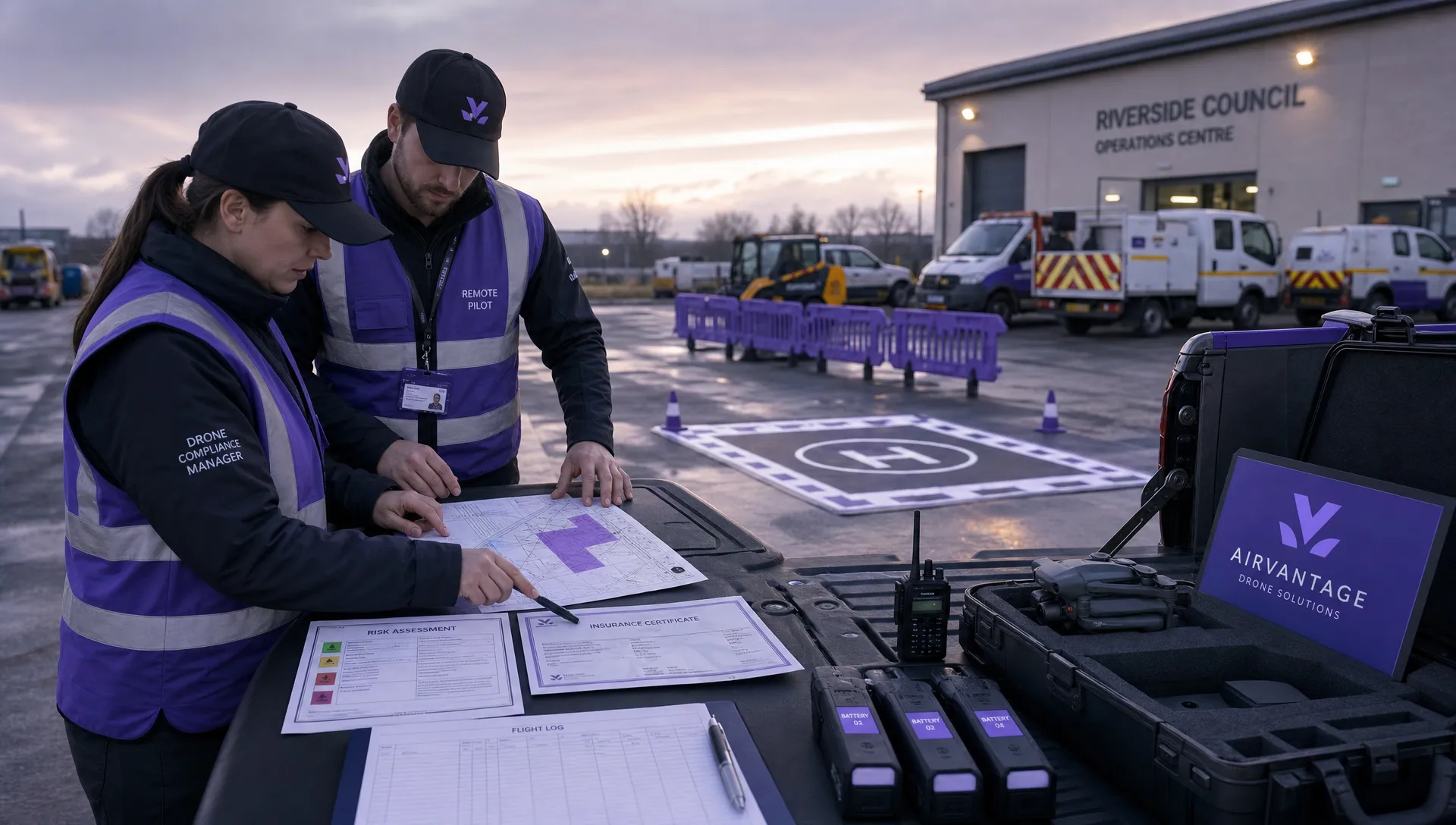 Drone Operation Regulations Explained for Businesses →
 How to Pass Your Drone Pilot License Test →
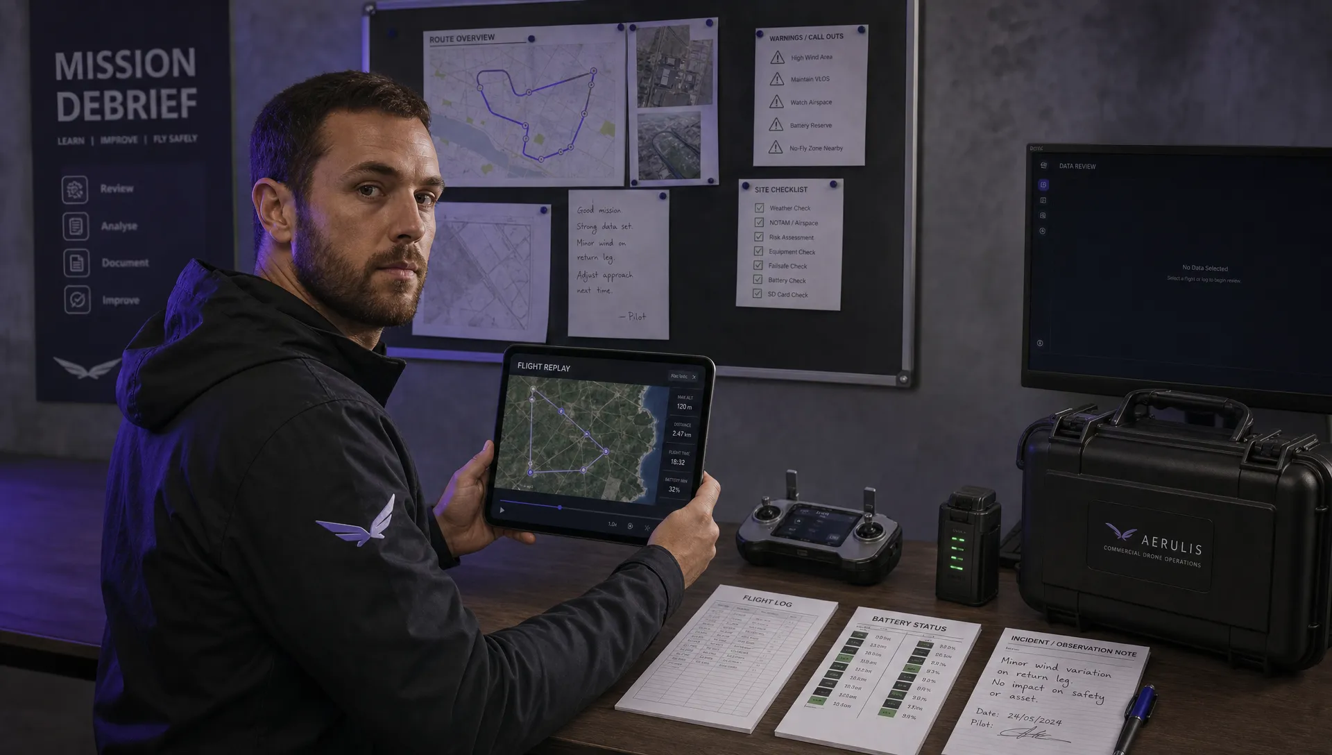 How to Review a DJI Flight Record After a Mission →
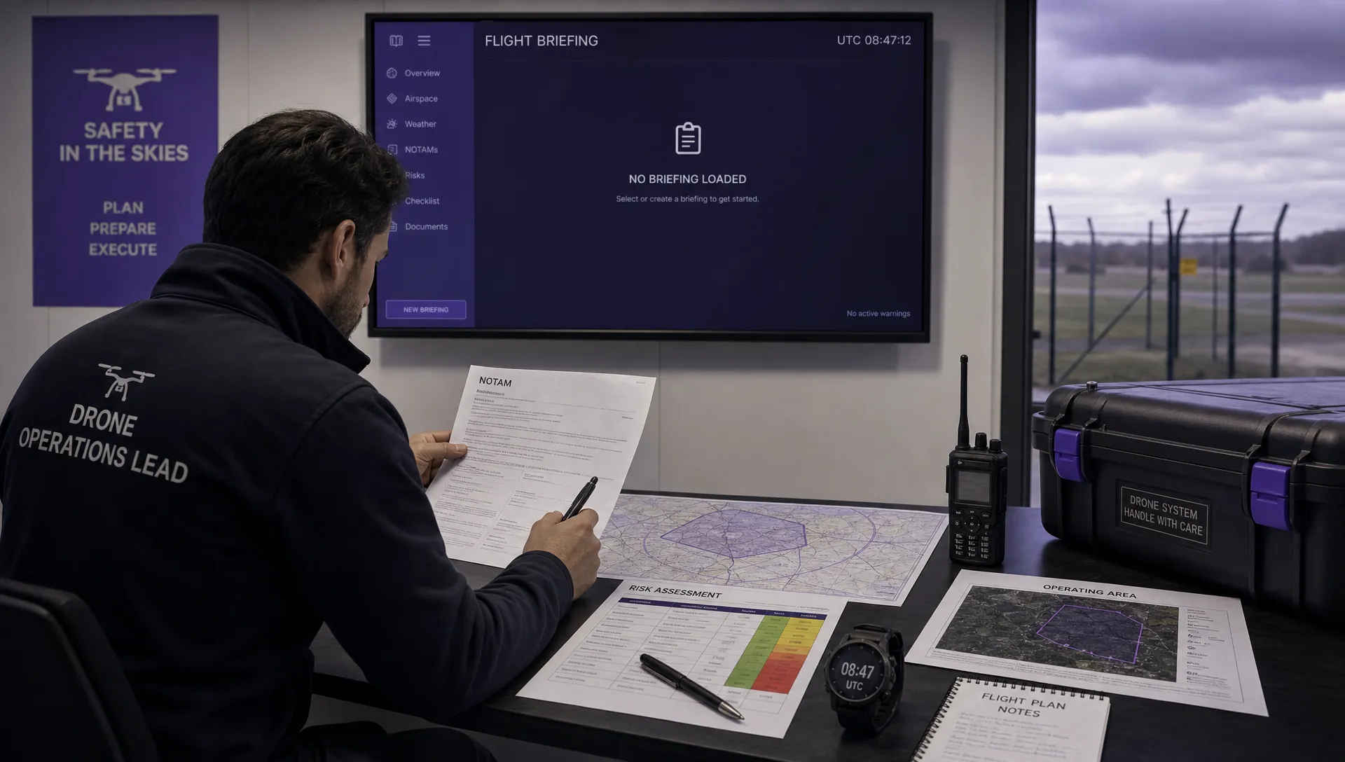 How to Check a Drone NOTAM Before You Fly →
 Part 108: What Drone Operators Should Expect →
 Beyond Visual Line of Sight BVLOS Explained →
 Drone Laws and Regulations Every Team Should Review →
 Current Drone Laws: What Changed in 2026? →
 JARUS SORA Explained in Plain English →