Where Can I Fly My Drone? A Complete Guide
Figuring out where you can legally fly your drone really just boils down to three simple checks: airspace, temporary restrictions, and local ground rules. Firing up an app like B4UFLY gives you a quick, color-coded answer, turning what seems like a complex question into a dead-simple pre-flight step. Think of this as your first line of defense for a safe, legal, and stress-free flight.
Your Quick Guide to Finding Drone Flying Spots
Before you even think about spinning up the props, the most critical part of any successful flight is knowing where you're allowed to fly. It's easy to get caught up in the excitement of capturing that perfect aerial shot, only to be brought back down to earth by a regulation you never knew existed.
The goal isn't to memorize every single rule out there—that's a losing game. Instead, it's about building a solid, repeatable process for checking any location, every single time you fly. It’s a simple safety habit, just like checking your battery levels before takeoff.
This little routine protects you, other aircraft, and people on the ground. A quick check stops you from accidentally wandering into restricted zones, like the airspace near an airport, over a stadium during a big game, or into an area with active emergency operations.
The Three-Step Location Check
Make these three steps a non-negotiable part of your pre-flight workflow. Get this habit dialed in, and you'll have the confidence to fly safely pretty much anywhere.
-
Check Controlled Airspace: Use a drone safety app to see if you're near an airport or other controlled zones. The FAA's own B4UFLY app is perfect for this, giving you real-time maps that clearly show where you might need official authorization to fly.
-
Look for Temporary Flight Restrictions (TFRs): These are pop-up no-fly zones that can appear for all sorts of reasons—major sporting events, presidential visits, or emergencies like wildfires. Because they aren't permanent, your flight app is the only reliable way to spot them.
-
Verify Local Ground Rules: Getting a "clear" on your airspace map doesn't always mean you're good to go. Many state parks, nearly all national parks, and countless city ordinances have their own rules that ban drone takeoffs and landings. A quick search for "[City/Park Name] drone rules" is a crucial final step.
The bottom line is simple: just because you can physically launch your drone doesn't mean you are legally allowed to. A responsible pilot verifies both the sky and the ground rules before every single flight. No exceptions.
This three-part check is your foundation. For instance, a gorgeous open field might look like the perfect spot, but your app could reveal it's directly in the flight path of a local hospital's helipad. In the same way, a stunning coastal cliff could be part of a state park where drones are banned to protect nesting seabirds. Each layer of this check gives you a piece of the puzzle, ensuring every flight is not just fun, but also fully compliant.
Common No-Fly Zones and How to Check Them
To make things even clearer, here's a quick-reference table of common restricted areas and the best ways to check them before you head out.
| Type of No-Fly Zone | Reason for Restriction | Recommended Verification Tool |
|---|---|---|
| Airports | Protecting manned aircraft during takeoff & landing | FAA's B4UFLY or other LAANC-enabled apps |
| National Parks | Wildlife preservation and visitor experience | Official National Park Service (NPS) website |
| Stadiums & Venues | Public safety during large events (TFRs) | B4UFLY for active TFRs and venue websites |
| Military Bases | National security | Clearly marked on all drone flight apps |
| Emergency Scenes | To avoid interference with first responders (TFRs) | B4UFLY for active TFRs; stay clear of any visible emergency activity |
| State & Local Parks | Local regulations, wildlife, or public nuisance rules | Park's official website or a local government ordinance search |
| Critical Infrastructure | Security for power plants, prisons, etc. | Marked on drone flight apps; also use common sense |
Think of this table as your cheat sheet. When in doubt, a few clicks in an app or a quick search online can save you a world of trouble and keep your flying record clean.
Decoding the Sky: A Pilot's Guide to Airspace
To a new drone pilot, the word "airspace" can sound pretty heavy and intimidating. But what if you thought of it less like a scary legal document and more like a set of invisible highways in the sky? This one simple shift in thinking is the key to figuring out where you can legally and safely fly.
Just like the roads on the ground, some areas are quiet country lanes where you have tons of freedom. Others are like six-lane urban freeways, packed with traffic and requiring a whole lot more caution. Learning to read these sky-highways is probably the most critical skill any pilot can have.
The Two Main Types of Airspace
When you strip it all back, every bit of airspace in the United States falls into one of two buckets: controlled and uncontrolled. It’s that simple.
-
Uncontrolled Airspace (Class G): Think of this as your open country road. Class G airspace isn't managed by air traffic control (ATC), which for drone pilots, makes it the easiest place to fly. You generally don’t need any special permission to operate here, as long as you're following all the other standard FAA rules, like staying below 400 feet.
-
Controlled Airspace (Classes B, C, D, E): These are the busy freeways and city streets of the sky. This airspace typically surrounds airports or other sensitive spots and is actively managed by ATC to keep manned aircraft safely separated. Flying here isn’t off-limits, but it absolutely requires permission.
This infographic does a great job of showing the pecking order of checks a pilot needs to run through, with understanding the airspace as the very first step.

As you can see, figuring out the airspace is the foundation. Only after you know the rules of the road can you start looking at things like temporary flight restrictions or local ground rules.
A Closer Look at Controlled Airspace
The moment you open up a drone safety app like B4UFLY, you'll see the map painted with different color-coded shapes. These are the various classes of controlled airspace, and each one has its own specific set of rules.
Class B Airspace: Picture this as the multi-layered, upside-down wedding cake of airspace that sits over the nation's busiest airports—think LAX, JFK, or O'Hare. It’s the most restrictive type, designed to protect a massive volume of commercial jets.
Class C Airspace: This surrounds airports that are busy but not on the same massive scale as Class B. It's the airspace you'd find around a major regional airport. It's still tightly controlled but is generally smaller and less complex.
Class D Airspace: You'll find this airspace around smaller airports that have a control tower but see less traffic than the bigger hubs. It's often shown on maps as a simple cylinder extending up from the ground.
Class E Airspace: This is basically the "everything else" of controlled airspace. It's a bit of a catch-all, sometimes starting right at the surface but often beginning at 700 or 1,200 feet above the ground, filling in the gaps between the other classes to keep aircraft safely managed.
For a much deeper dive into what these classifications mean for your drone flights, you can learn more about drones and airspace in our detailed article.
Getting Your Digital Permission Slip: LAANC
So, how in the world do you get permission to fly in these controlled zones? A few years back, it was a painfully slow process involving manual waiver requests. Today, it’s nearly instant, all thanks to a system called LAANC.
LAANC, which stands for Low Altitude Authorization and Notification Capability, is an automated system that connects drone pilots directly with Air Traffic Control. It lets you request authorization to fly in controlled airspace through a LAANC-enabled app, often getting you an approval in just seconds.
Honestly, this system is a complete game-changer. It takes what used to be a huge roadblock and turns it into a simple, digital handshake between you and ATC.
When you use an app like B4UFLY or Aloft, the map will show you the maximum altitude you can request for any given spot within controlled airspace. You just tap on the map, input your flight details, and the system instantly checks your request against FAA guidelines. If you’re within the pre-approved limits, you get your authorization on the spot. It’s that easy.
Navigating United States Drone Laws

So, you've got a handle on the invisible highways that make up our airspace. The next big piece of the puzzle in figuring out "where can I fly my drone?" is getting to know the national rules of the road. In the United States, that means turning to the Federal Aviation Administration (FAA).
Think of the FAA as the Department of Transportation, but for the sky. They're the ones who lay down the essential safety laws that every single pilot has to follow, whether you're a weekend hobbyist or a full-time professional.
These rules aren't just there to spoil your fun. Their purpose is to create a safe, predictable environment for everyone. Just like traffic laws stop our streets from descending into chaos, FAA regulations prevent mid-air collisions and other accidents. They ensure drones can safely share the skies with planes, helicopters, and, of course, the people on the ground.
The FAA's job is a big one. As of October 2025, the agency had over 855,860 drones registered, which really shows you just how massive the drone world has become. This explosive growth makes it more important than ever for everyone to stick to the safety rules. You can dive deeper into how these trends are shaping regulations over on our guide to the new drone laws.
The Unbreakable Rules of Flight
While the full rulebook can look a bit daunting, a few core principles are the foundation of safe flying in the U.S. If you master these non-negotiables, you're well on your way to being a responsible pilot.
These three rules are the absolute bedrock of FAA compliance for most flights:
-
Stay Below 400 Feet: Your drone has to fly at or below 400 feet above ground level (AGL). This isn't an arbitrary number; it creates a vital buffer zone that keeps your drone well away from most manned aircraft, which usually operate above 500 feet.
-
Maintain Visual Line of Sight (VLOS): This one is simple: you must be able to see your drone with your own eyes, unaided, at all times. Relying on binoculars or just your camera feed doesn't cut it. If you can't see it, you can't be in full control or react to hazards.
-
Never Fly Over People: It's prohibited to fly your drone directly over people who aren't involved in your flight and aren't under some kind of protective cover. It’s a straightforward safety measure to protect people on the ground in case something goes wrong.
Think of these rules as your pilot's oath. The 400-foot ceiling keeps you clear of airplanes, VLOS keeps you in control, and avoiding flights over people protects everyone below. Following these isn't just about avoiding a hefty fine; it’s about contributing to a culture of safety that benefits the entire drone community.
Recreational vs. Commercial Flights
Another key distinction the FAA makes is based on the purpose of your flight. The rules you need to follow can change depending on whether you’re flying just for fun or as part of a business.
Recreational Flying: This is when you're flying purely for personal enjoyment with no commercial gain. If you're snapping photos for your personal album or just zipping around the backyard for the thrill of it, this is you.
Commercial Flying (Part 107): This covers any flight that's tied to a business interest. We're talking real estate photography, agricultural surveys, creating marketing videos for a client—you name it. To fly commercially, you have to pass an FAA aeronautical knowledge test and get a Remote Pilot Certificate, often called a Part 107 license.
For recreational pilots, the main hoop to jump through is passing The Recreational UAS Safety Test (TRUST). It’s a free, online training and test that covers the basic safety principles you need to know.
Understanding this difference is absolutely critical. For example, say you take a stunning landscape photo just for fun (recreational). A month later, a company sees it and offers to buy a print. That act retroactively turns the original flight into a commercial one. A Part 107 certificate would have been required before you ever took off.
When in doubt, playing it safe by following the more stringent Part 107 rules is always your best bet to stay compliant.
Taking Your Drone Abroad: A Global View
Taking your drone on an international trip opens up a whole new world of creative possibilities. But here’s the thing: the moment your passport gets stamped, you need to assume that every drone rule you know and follow back home is out the window. The question "where can I fly my drone?" becomes a lot more complicated once you cross a border.
Every country manages its airspace in its own way, creating a complex and sometimes confusing patchwork of global regulations. Think of it like driving a car in a foreign country. You still know how to use the steering wheel and the pedals, but the road signs, speed limits, and local driving habits can be completely different. Just assuming the rules are the same everywhere is a surefire way to get into trouble.
These differences aren't just random. Drone laws around the world reflect each nation's unique take on balancing new technology with public safety and privacy. The European Union, for instance, has a risk-based system, while other countries might focus more heavily on pilot certification or drone registration. You can get more insight into this on UnmannedAirspace.info's article on the biggest global drone challenge.
The European Union's Risk-Based Approach
If you plan on flying anywhere in the European Union, you'll fall under a single, unified set of rules from the European Union Aviation Safety Agency (EASA). This system is a big departure from the FAA's model, which often separates recreational and commercial pilots.
EASA, instead, categorizes flights based on the level of risk they pose. It's a smart approach that cares more about what you're doing with the drone, not just why you're flying.
-
Open Category: This is for your typical, low-risk flights. Most drones you'd buy off the shelf fit in here. It lets you fly without needing special permission, as long as you stick to the strict guidelines—like keeping the drone in sight and staying clear of people.
-
Specific Category: For medium-risk operations that go beyond the Open category rules. Think flying beyond your visual line of sight (BVLOS) or operating near crowds. These flights demand a specific operational thumbs-up from the national aviation authority.
-
Certified Category: This is the big leagues, reserved for high-risk stuff like transporting people (yes, that's coming) or dangerous goods. The requirements here are just as tough as those for crewed aircraft.
For the average drone pilot traveling through Europe, getting a solid handle on the Open category rules is all you'll need to fly legally and have a great time.
A Quick Look at Global Drone Laws
Once you step outside the US and EU, you'll find a whole spectrum of drone laws. Some countries are surprisingly drone-friendly, while others are incredibly locked down. A bit of homework before you pack your drone is absolutely essential.
Canada, for example, has a solid system that, much like the EU's, is based on risk. They divide flights into 'Basic' and 'Advanced' categories. If you want to do anything advanced, like flying in controlled airspace, you’ll need a more advanced pilot certificate and a drone with the right safety features.
The most important habit for any traveling pilot is to assume nothing. The rules that apply in your backyard are almost certainly different from the rules in your dream vacation spot. Always check local laws before your trip.
On the other end of the spectrum, some countries keep a very tight grip, requiring permits for every single flight or even banning foreign-operated drones entirely. Flying in one of these places without the right paperwork can lead to some serious headaches, including big fines and having your gear confiscated. As the pilot, it's 100% your responsibility to know and follow the local laws of any country you visit.
The goal isn't to become an expert in international aviation law overnight. It’s to build the simple, unshakeable habit of doing your pre-travel research. A quick search for the official civil aviation authority of your destination is the best place to start. That one simple step will tell you everything you need to know about registration, licensing, and local no-fly zones, making sure your global drone adventures are memorable for all the right reasons.
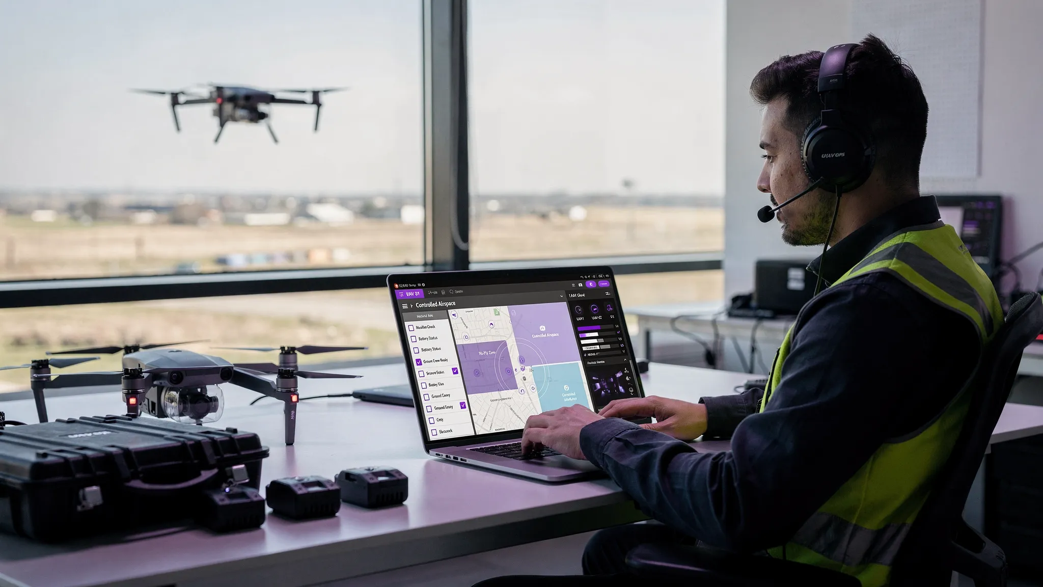
Must-Have Apps for Finding Safe Places to Fly

Knowing the theory behind airspace is one thing, but putting it into practice out in the field is what really counts. Thankfully, you don't have to be a professional cartographer or an aviation lawyer to figure out where you can legally send your drone up. There's a whole suite of powerful apps that do the heavy lifting for you.
Think of these apps as Google Maps, but for the sky. They take all that complicated data from FAA charts and temporary flight restrictions and boil it down into simple, color-coded maps. At a glance, you get a clear "go" or "no-go" for any spot you pick.
Making one of these apps part of your pre-flight check isn't just a good idea—it's an essential step for any responsible pilot. It's the fastest and most reliable way to answer that all-important question: "Can I fly my drone here?"
The Official FAA Tool: B4UFLY
When you want information straight from the source, the FAA’s B4UFLY app is the place to start. It was developed in partnership with Aloft and is the official government tool for helping both recreational and commercial pilots navigate airspace restrictions. Its whole purpose is to give you a clear, authoritative status for any location in the United States.
B4UFLY lays out all the airspace info on an intuitive, interactive map. You can drop a pin anywhere you want or just use your phone’s GPS to see the rules for where you’re standing. The app's status indicator gives you an immediate answer on whether you're cleared for takeoff.
For instance, if you're in uncontrolled (Class G) airspace with no temporary restrictions, the app will give you a big green "Good to Go." But if you’re near an airport, it’ll flag the controlled airspace and give you a direct link to apply for LAANC authorization. For a deeper dive into the best options out there, check out our guide on the best drone airspace apps.
Powerful Alternatives: Aloft and AirMap
While B4UFLY is the official starting point, a couple of other third-party apps pack in more robust features that many professional pilots have come to rely on. Aloft (the company that actually powers B4UFLY) and AirMap are two of the heavy hitters, offering expanded tools for flight planning and compliance.
These platforms often bundle in extra features that are a huge help for commercial operators, such as:
- Advanced Flight Planning: Map out detailed missions with specific altitudes and flight paths.
- Risk Assessment Checklists: Walk through guided safety checks to spot potential hazards before you fly.
- Logbook Integration: Automatically log your flight times and locations to keep your records straight.
- Multi-Layered Maps: Overlay extra info like weather, terrain, and even local ground rules onto the airspace map.
These advanced apps are much more than just airspace checkers; they're complete command centers for your operations. They help you manage the entire flight, from planning and authorization all the way through to logging the flight afterward, making sure you have a complete and compliant record of everything you do.
The single most important feature that B4UFLY, Aloft, and AirMap all share is their integration with LAANC. This is the system that lets you get near-instant permission to fly in controlled airspace. You just tap the area on the map, punch in your flight details like altitude and duration, and hit submit. In most cases, you’ll get an automated authorization back within seconds, either as a text or an in-app notification. It turns a once-painful bureaucratic process into a few quick taps on a screen.
Beyond the Apps: Local Rules and Common Sense
Getting a green "Good to Go" on your flight app is a great feeling, but your pre-flight check isn't quite done. Think of that app as your eyes in the sky—it's brilliant at spotting major restrictions like airports and no-fly zones. What it doesn't know is what’s happening on the ground right under your feet.
This is the last, crucial step. The FAA owns the sky, but state, county, and city governments own the land. This creates a patchwork of local rules that can ground your flight even in perfectly clear airspace. So, answering "where can I fly my drone?" means checking both sky and ground rules.
Digging into Local Ordinances
This is where a lot of pilots get tripped up. You might find a beautiful open field that's smack in the middle of Class G airspace, but if it's a city park with a "no drones" sign hammered into the ground, you're not cleared for takeoff. A little bit of local research is your best friend here.
Common places with their own set of ground rules include:
- State and County Parks: Many states ban drones to protect wildlife and keep the peace for other visitors.
- City Parks and Public Spaces: It’s very common for towns and cities to create their own rules about launching or landing on public property.
- Beaches and Nature Preserves: These spots often have restrictions to avoid disturbing nesting birds or other sensitive ecosystems.
A quick search for "[City Name] drone laws" or "[Park Name] drone policy" is usually all it takes. Skipping this step is one of the quickest ways to get a fine or a stern talking-to from a park ranger or local police officer.
The Unwritten Rules: Being a Good Pilot
Beyond what's written down in a rulebook, there's plain old common sense and respect for the community. This is what separates a truly professional pilot from a reckless one. It's about remembering that your drone can seem noisy, intrusive, or even threatening to people and animals who aren't used to them.
Being a good aerial citizen means more than just following the law; it means flying with an awareness of how your drone impacts the environment and the people around you. It's about earning the public's trust with every single flight.
Flying considerately not only protects your right to fly but also helps build a positive image for the entire drone community. This is incredibly important, especially since public perception around safety and privacy heavily influences the regulatory hurdles we all face. You can learn more about this in the 2025 Global State of Drones report.
Got Questions? Let's Get Them Answered
Even when you feel like you've got a handle on airspace, the rules, and the best apps, some situations can still make you pause. Figuring out "where can I fly my drone?" often boils down to knowing how to handle these tricky "what if" moments.
Let's dive into some of the most common questions that pop up. These are the real-world scenarios where you have to mix FAA rules, local ground laws, and a bit of good old common sense to make the right call.
Can I Fly My Drone in a National Park?
In almost every case, that’s a hard no. The National Park Service (NPS) has a pretty solid ban on launching, landing, or operating a drone anywhere within its boundaries in the United States. This isn't just red tape; it's there to protect sensitive wildlife and keep the parks peaceful for everyone.
You might hear about super rare exceptions for scientific research or official park business, but those require a special use permit that's tough to get. For the rest of us, whether you're flying for fun or for a client, just assume national parks are complete no-fly zones.
What Is a TFR and How Do I Check for One?
A TFR, or Temporary Flight Restriction, is basically a pop-up no-fly zone created by the FAA for safety reasons. The tricky part is they aren't permanent and can appear with very little warning, which is why checking for them before every single flight is non-negotiable.
You'll typically see TFRs pop up for things like:
- Big-league sporting events (think NFL or MLB games)
- Presidential visits or other VIP security movements
- Emergencies like wildfires, floods, or other natural disasters
The only way to be sure you're clear is by using a drone safety app like B4UFLY or Aloft. These apps show active TFRs right on the map, detailing their exact location, altitude restrictions, and when they're in effect. Blundering into a TFR is a huge mistake and a serious violation.
Flying over private property is a legal gray area. While the FAA controls the airspace, state and local laws govern trespassing and privacy. Flying low over someone's home can easily lead to nuisance or invasion of privacy claims, regardless of airspace rules.
The best advice? Just be a good neighbor. Don't hover over private homes, backyards, or anywhere else people have a reasonable expectation of privacy. If your flight plan absolutely needs you to cross over private land, getting the landowner's permission first is always the smart and respectful move. It keeps the peace and ensures your flight doesn't cause any trouble.
Ready to take control of your drone operations and simplify compliance? Dronedesk offers a complete platform for managing your flights, fleet, and clients, ensuring every job is planned safely and efficiently. See how thousands of pilots are saving time and staying compliant at https://dronedesk.io.
 UAV Software Guide for Flight Planning and Compliance →
 F1 Telemetry Data Explained: From Sensor to Strategy →
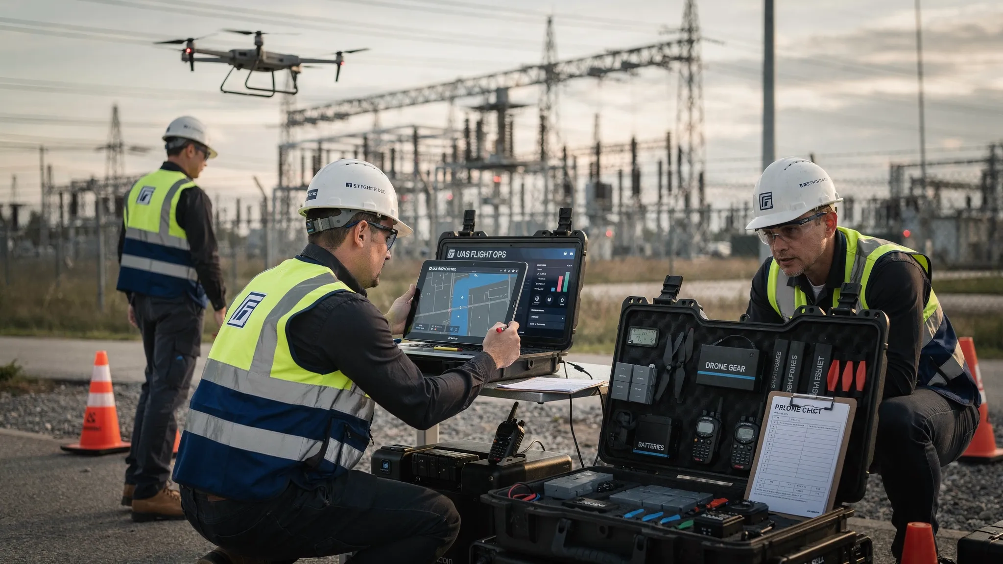 What Makes a Great Drone Platform for Commercial Teams →
 Your Guide to the Ultra Light Aircraft Licence in 2026 →
 UAVs for Sale: A Professional Buyer's Guide for 2026 →
 UAS Fleet Management Tips for Safer Multi-Pilot Operations →
 UAS Practice Exam: Your 2026 Part 107 Study Plan →
 How Survey Firms Use Drone Survey Software to Scale →
 Drone Logbook vs Flight Log: What Operators Should Keep →
 Mastering Digital Aeronautical Flight Information File →