
How to Start a Drone Mapping Business With a Clear Workflow
Starting a drone mapping business is less about buying a capable aircraft and more about building a repeatable operating system. Clients do not pay for flight time alone. They pay for reliable measurements, clear deliverables, defensible records and confidence that the job has been planned safely.
That is why the workflow matters from day one. A clear process helps you price work properly, avoid scope creep, capture usable data on site and hand over outputs that surveyors, asset managers, construction teams or emergency planners can actually use.
Below is a practical workflow for launching a drone mapping business in 2026, from choosing your niche to planning flights, managing risk, processing data and building a professional handover pack.
Choose a mapping niche before you choose more equipment
It is tempting to start with a broad offer such as aerial surveys, mapping and inspections. The problem is that different clients need different outputs, accuracy standards and evidence.
A construction contractor may want regular orthomosaics for progress tracking. A quarry operator may need stockpile volumes. A utility company may need corridor mapping to support asset inspection. An emergency service may need rapid situational awareness after flooding, fire or infrastructure damage.
A focused offer makes your marketing, equipment choices and standard operating procedures much easier. It also helps you decide what you will not do yet, which is just as useful when you are trying to stay profitable.
| Market | Typical client need | Common deliverables | Workflow consideration |
|---|---|---|---|
| Construction | Progress records, site context, measurements | Orthomosaic, 3D model, progress report | Repeatable flight plans and consistent dates |
| Surveying | Measured site data for design or validation | Georeferenced imagery, point cloud, contours | Accuracy specification and ground control |
| Aggregates and earthworks | Stockpile and cut or fill calculations | Volumetric report, DSM, annotated map | Safe site access and quality checks |
| Utilities | Asset corridor context and change detection | Corridor map, inspection imagery, GIS layers | Permissions, proximity hazards and repeatability |
| Emergency services | Fast overview of a changing incident | Situation map, annotated imagery | Speed, safety and data sharing protocols |
If you are new to commercial mapping, start with a niche where you can define the output clearly. The more specific your deliverable, the easier it is to build a workflow around it.
Get the compliance baseline right
In the UK, commercial drone work sits within the Civil Aviation Authority framework. Your exact requirements depend on the aircraft, operating environment and risk profile, so use the CAA drone guidance as your primary reference rather than relying on second-hand summaries.
At a minimum, a professional drone mapping business should document who is responsible for the flight, what permissions are required, how the site has been assessed and how the operation will remain within the relevant category or authorisation. If a job cannot be completed safely within your current permissions, it should not be squeezed into the diary just because the client wants a quick turnaround.
Insurance also needs to match the type of work you are doing. Mapping often involves third-party sites, repeat visits, expensive equipment and data that feeds into business decisions. Speak to an aviation insurance broker if you are unsure whether your policy fits the work.
Privacy is another practical issue. Mapping flights can capture people, vehicles, gardens, windows and neighbouring premises. If your imagery includes identifiable people or personal data, the UK GDPR and Data Protection Act 2018 may apply. The Information Commissioner’s Office is the right place to check data protection responsibilities.
Build your offer around the deliverable
A strong drone mapping business sells outcomes, not just aerial photos. Before you quote, define what the client will receive and how they will use it.
For example, a client asking for a map may actually need a georeferenced orthomosaic that can be loaded into GIS software. Another may ask for a 3D model when the real requirement is an earthworks volume calculation. A utility team may need inspection context rather than survey-grade coordinates.
Your enquiry form or discovery call should capture the essentials:
- Site location, size and access constraints
- Purpose of the survey and decisions the data will support
- Required deliverables and file formats
- Accuracy expectations, coordinate system and ground control needs
- Deadline, reporting format and any client-side approval process
- Site hazards, airspace constraints and nearby sensitive locations
This step protects both sides. You avoid underquoting a job that needs ground control, specialist processing or extra permissions. The client gets a proposal that reflects the real work involved.
Select your equipment and software stack
Do not build your stack around the most impressive specification sheet. Build it around the deliverables you intend to produce.
For many mapping jobs, a drone with a high-quality RGB camera, reliable mission planning support and good positional data is enough. RTK or PPK capability can improve georeferencing workflows, but it does not remove the need to understand accuracy, checkpoints or coordinate systems. For more demanding work, you may need ground control points, a GNSS receiver, multispectral sensors, thermal payloads or LiDAR.
Your software stack normally includes four categories. First, you need operations management for clients, aircraft, pilots, planning, checklists, risk assessments and logs. Second, you need mission planning for capture patterns, overlap, altitude and repeatable routes. Third, you need processing software for orthomosaics, point clouds, meshes, DSMs and reports. Fourth, you may need CAD or GIS tools for client-specific delivery.
If you are comparing processing platforms such as Pix4D, DroneDeploy, DJI Terra, OpenDroneMap or Agisoft Metashape, Dronedesk has a separate drone mapping software comparison guide that looks at those tools in more detail. The key point here is that processing software does not replace operational discipline. A beautiful model is not much use if the job was poorly scoped, badly logged or flown without a robust risk assessment.
Use a clear workflow from enquiry to archive
A simple workflow gives every job the same spine, even when the location, client or deliverable changes. It also gives you a checklist for quoting, planning and handover.
| Stage | What happens | Output |
|---|---|---|
| Enquiry | Qualify the client need, location, deadline and deliverable | Go or no-go decision |
| Scope | Confirm site boundary, accuracy expectations and file formats | Written scope of work |
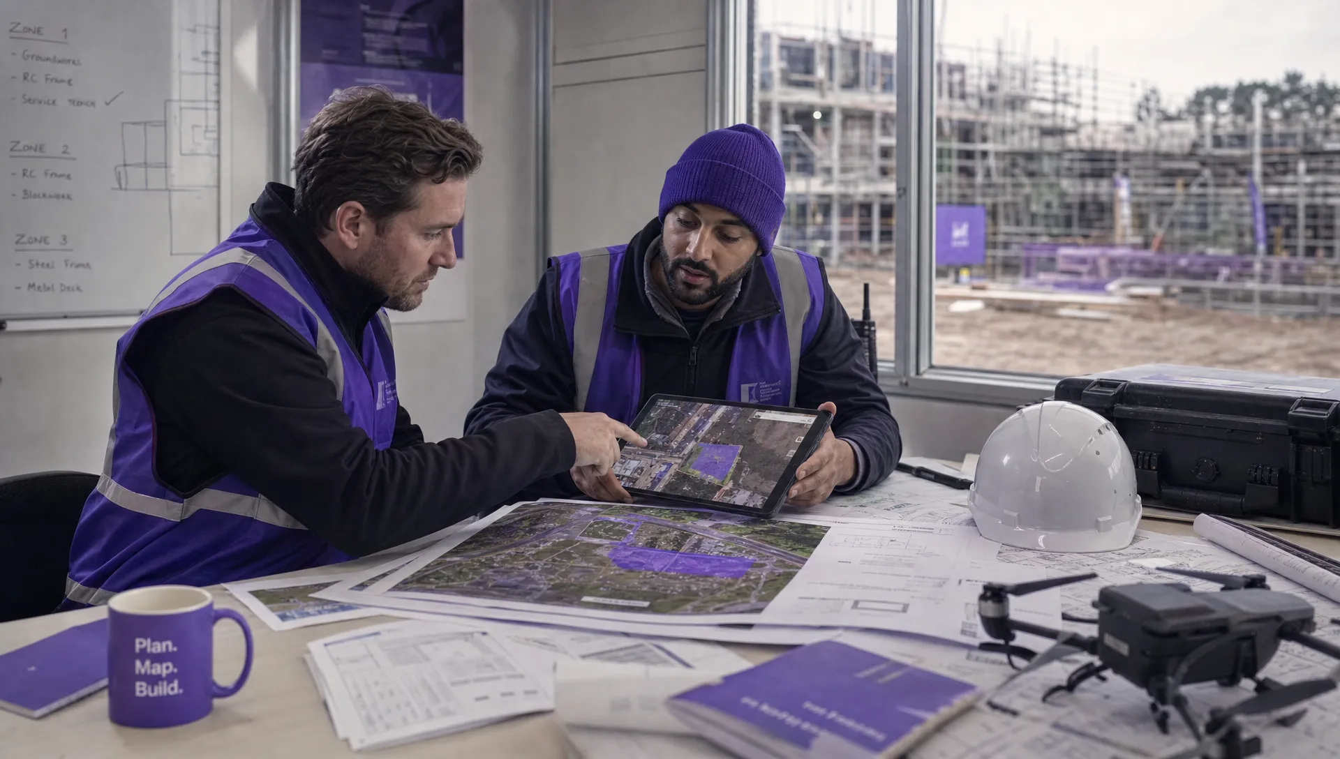
| Desktop planning | Review airspace, ground hazards, access and proximity risks | Initial flight plan and risk notes |
| Quote | Price capture, processing, reporting, travel and revisions | Proposal and terms |
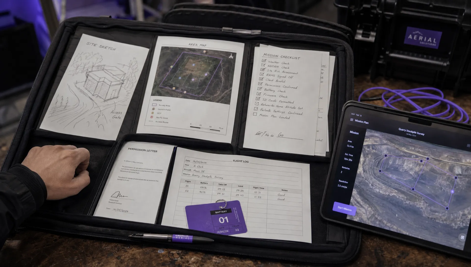
| Pre-flight pack | Prepare permissions, checklists, risk assessment and crew brief | Operation pack |
| Data capture | Fly the planned mission and record deviations | Image set and flight record |
| Processing | Generate outputs and run quality checks | Draft deliverables |
| Client handover | Deliver files, report assumptions and explain limitations | Signed-off deliverable |
| Archive | Store logs, imagery, reports and correspondence | Audit trail |
The workflow should be visible to everyone involved. If you work alone, it stops you forgetting steps when you are busy. If you work with a team, it stops jobs becoming dependent on one person’s memory.
Plan the flight for the data, not the drone
Flight planning should start with the output specification. Ground sampling distance, overlap, altitude, camera angle, lighting and flight speed all affect the quality of the data. A stockpile survey, facade model and large-area orthomosaic may need very different capture settings.
For photogrammetry, consistency matters. Sudden changes in light, reflective surfaces, moving vehicles, vegetation movement and poor image overlap can all reduce processing quality. For repeat mapping, such as monthly construction progress flights, using consistent routes and capture settings can make change detection much more useful.
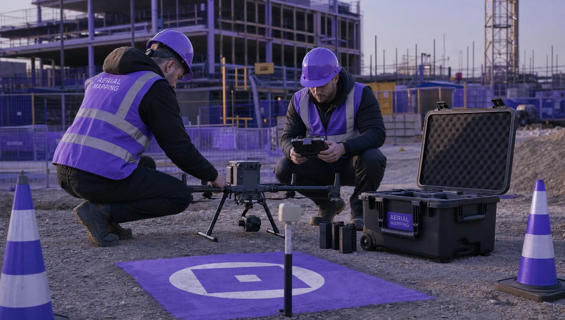
Your pre-flight workflow should cover more than the automated route. It should also cover launch and recovery points, emergency landing areas, communications, observer positions where needed, public separation, battery management, weather thresholds and site-specific briefings.
Mapping jobs often fail because the operator focuses on flying the grid and not on controlling the conditions around the grid. Build those conditions into the workflow.
Make quality assurance part of delivery
Quality assurance should not be a vague final glance at the map. It should be a defined step before any data leaves your business.
Start by separating relative quality from absolute accuracy. A 3D model may look internally consistent but still be shifted against real-world coordinates. If the client needs survey-grade outputs, you need a suitable method for ground control, checkpoints and coordinate reference management.
| QA item | Why it matters | Example check |
|---|---|---|
| Image coverage | Gaps can create holes or distortions | Confirm full site boundary coverage |
| Image sharpness | Blurred photos reduce model reliability | Remove motion-blurred images before processing |
| Ground control | Coordinates support accurate outputs | Check GCP marking and distribution |
| Checkpoints | Independent validation improves confidence | Compare processed results against known points |
| Coordinate system | Wrong CRS can make data unusable | Confirm client’s required CRS before export |
| Report assumptions | Clients need to know limits | Note weather, access limits and exclusions |
For non-survey clients, explain quality in plain English. A facilities manager may not know the difference between a DSM and DTM, but they will understand whether the data is suitable for planning, inspection context or measurement.
Price for the full job, not just the flight
Many new operators underprice mapping because they calculate the flying time and forget everything else. A one-hour flight may require enquiry handling, site research, access coordination, risk assessment, charging, travel, data backup, processing, QA, report writing, revisions and archiving.
A practical pricing model should account for:
- Setup and mobilisation
- Travel and site time
- Flight planning and operational admin
- Ground control or survey support
- Data processing and software costs
- Reporting, file formatting and client revisions
- Insurance, equipment depreciation and contingency
Some jobs are best priced per site. Others suit per hectare, per day, per deliverable or retained monthly programmes. Repeating work can be attractive because your workflow, flight routes and client expectations become more predictable, but only if your terms cover changes in site access, weather delays and added reporting.
If a prospect compares your quote with a cheaper operator, do not defend the price by talking about your drone. Explain the workflow, risk management, QA process and deliverables. Serious clients usually care more about usable data and reliable records than a low day rate.
Keep operations and mapping data connected
As soon as you run multiple jobs, it becomes difficult to track everything in spreadsheets and email threads. A drone mapping business needs clean records for clients, pilots, aircraft, planning decisions, risk assessments, checklists, flights and delivered reports.
Dronedesk is built for drone operations management and is designed to sit alongside the specialist tools you use for mapping and processing. Its features page lists client management, fleet management, team management, airspace intelligence, proximity intelligence, flight planning, flight logging, data reporting, configurable checklists and risk assessments.
That matters because mapping work creates a lot of operational evidence. You may need to show when a flight was planned, what hazards were reviewed, which aircraft and pilot were assigned, what checklist was followed and what was logged after the job. Keeping those records in one operational workflow makes it easier to stay consistent as work increases.
If your mapping service grows beyond one aircraft or one pilot, fleet management becomes a more serious issue. Maintenance records, pilot assignments, batteries, equipment status and operational availability all affect whether you can deliver reliably. Dronedesk’s drone fleet management guide is a useful next step if you are moving from solo operations to a larger team.
Write SOPs before you hire or subcontract
Standard operating procedures do not need to be heavy documents. They need to be practical enough that another competent pilot or processor can follow the same process and produce a consistent result.
Your first SOPs should cover enquiry qualification, site desktop assessment, ground control decisions, flight planning settings, image naming and storage, data backup, processing presets, QA checks, reporting templates and handover. Keep them short, test them on real jobs and revise them when a problem appears.
A useful rule is simple: if a mistake would cost you money, safety margin or client trust, turn the prevention step into an SOP. That includes mundane details such as memory card formatting, battery labelling and file naming. Mapping businesses depend on repeatability, and repeatability is built from small habits.
Avoid the common early mistakes
Most early problems in a drone mapping business come from unclear scope or weak data control rather than poor flying skills.
Watch for these issues in particular:
- Accepting a client’s requested deliverable without checking how they intend to use it
- Promising accuracy without a suitable control method or validation process
- Forgetting to price processing, QA, revisions and archiving
- Flying in poor light or weather because the site visit has already been booked
- Delivering large files without an agreed format, CRS or naming structure
- Keeping flight records, client messages and reports in separate places with no audit trail
- Buying specialist sensors before there is enough demand to justify them
The safest growth path is to offer fewer services well, document every step and add complexity only when the workflow can support it.
A practical 90-day launch plan
You do not need a huge client list to build momentum. You need proof that your workflow can produce reliable outputs.
| Period | Focus | Goal |
|---|---|---|
| Days 1 to 30 | Define niche, compliance baseline, insurance, templates and sample deliverables | A sellable offer with a repeatable process |
| Days 31 to 60 | Run test projects, refine flight plans, build QA checks and document SOPs | Evidence that your workflow works in the field |
| Days 61 to 90 | Approach target clients, quote small projects and collect feedback | First paid jobs and a stronger delivery process |
During those first 90 days, spend as much time on documentation as marketing. Good sample reports, clear scopes of work and a tidy operating record will make you look more professional than a vague promise to provide aerial maps.
Frequently Asked Questions
How much does it cost to start a drone mapping business? Costs vary widely depending on the aircraft, sensors, training, insurance, software and accuracy requirements. A basic RGB mapping service can start with a modest setup, but survey-grade work may require RTK or PPK workflows, ground control equipment and more specialist software.
Do I need RTK to offer drone mapping? Not always. RTK can improve georeferencing workflows, but the need depends on the deliverable and required accuracy. Some visual progress maps do not need survey-grade coordinates, while engineering or measurement work may need ground control and independent checkpoints.
What deliverables should a new mapping business offer first? Start with deliverables you can explain and validate confidently, such as orthomosaics, site progress maps, simple 3D models or visual inspection context. Add volumetrics, contour outputs or survey-grade products only when your workflow and QA process support them.
Which software do I need for drone mapping? You usually need operations management, flight or mission planning, photogrammetry processing and sometimes GIS or CAD software. The best mix depends on your market, aircraft and deliverables.
How do I win clients for a drone mapping business? Lead with the client’s problem, not the drone. Show sample deliverables, explain your workflow, be clear about accuracy and limitations, and target sectors where repeat mapping creates value, such as construction, utilities, aggregates and land management.
Run mapping jobs with a workflow you can trust
A profitable drone mapping business is built on repeatable planning, safe operations, clean records and consistent delivery. The aircraft matters, but the workflow is what turns flights into a professional service.
If you want to manage the operational side of mapping more clearly, explore Dronedesk and see how its drone operations management tools can support your client records, planning, checklists, risk assessments, logs and reporting in one place.
 How to Start a Drone Mapping Business With a Clear Workflow →
 Class C Airspace Drone Rules for Commercial Flights →
 How to Create a Drone Job Pack for Every Mission →
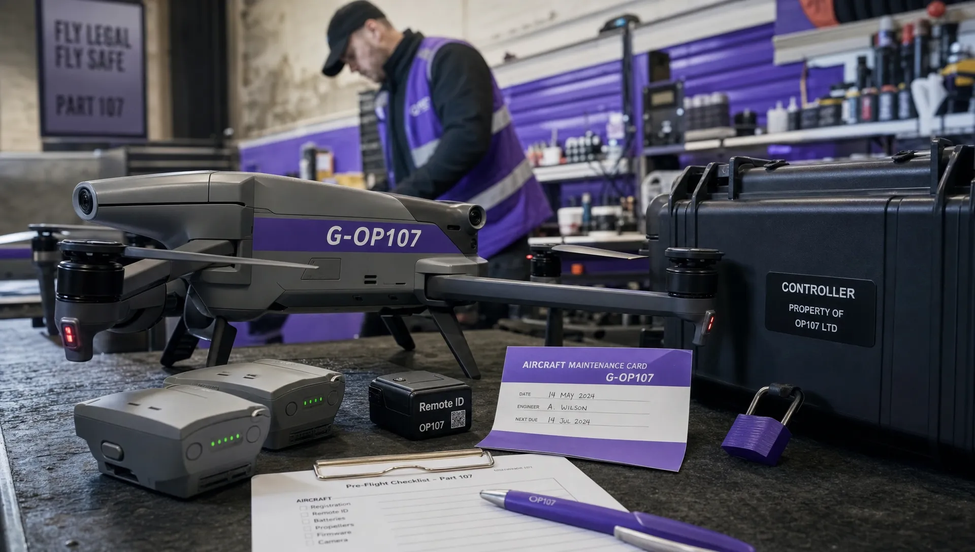 FAA Small UAS Rule: Key Requirements for Operators →
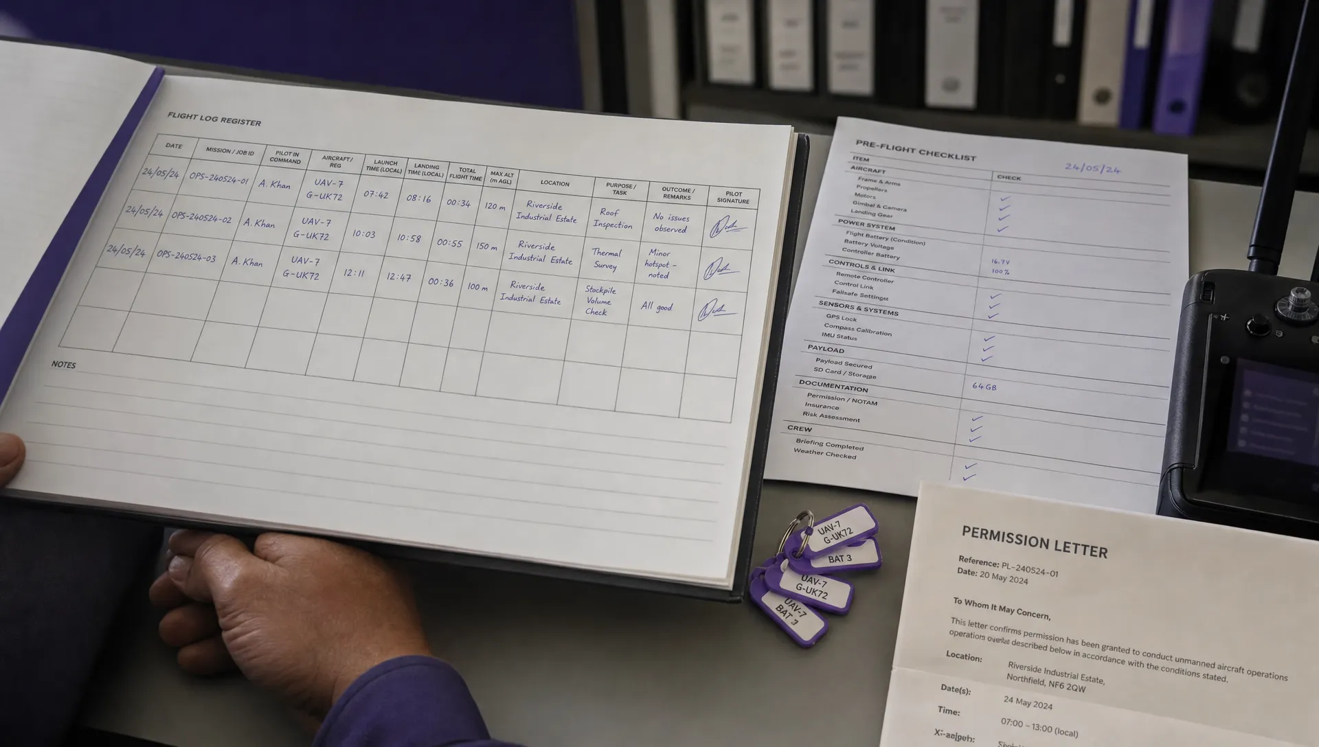 How to Build a Drone Pilot Flight Log That Is Audit Ready →
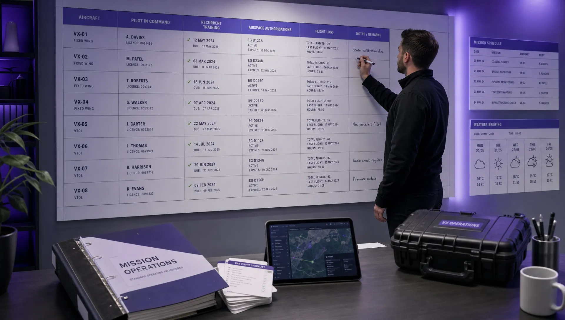 FAA Drone Licence Requirements for Commercial Pilots →
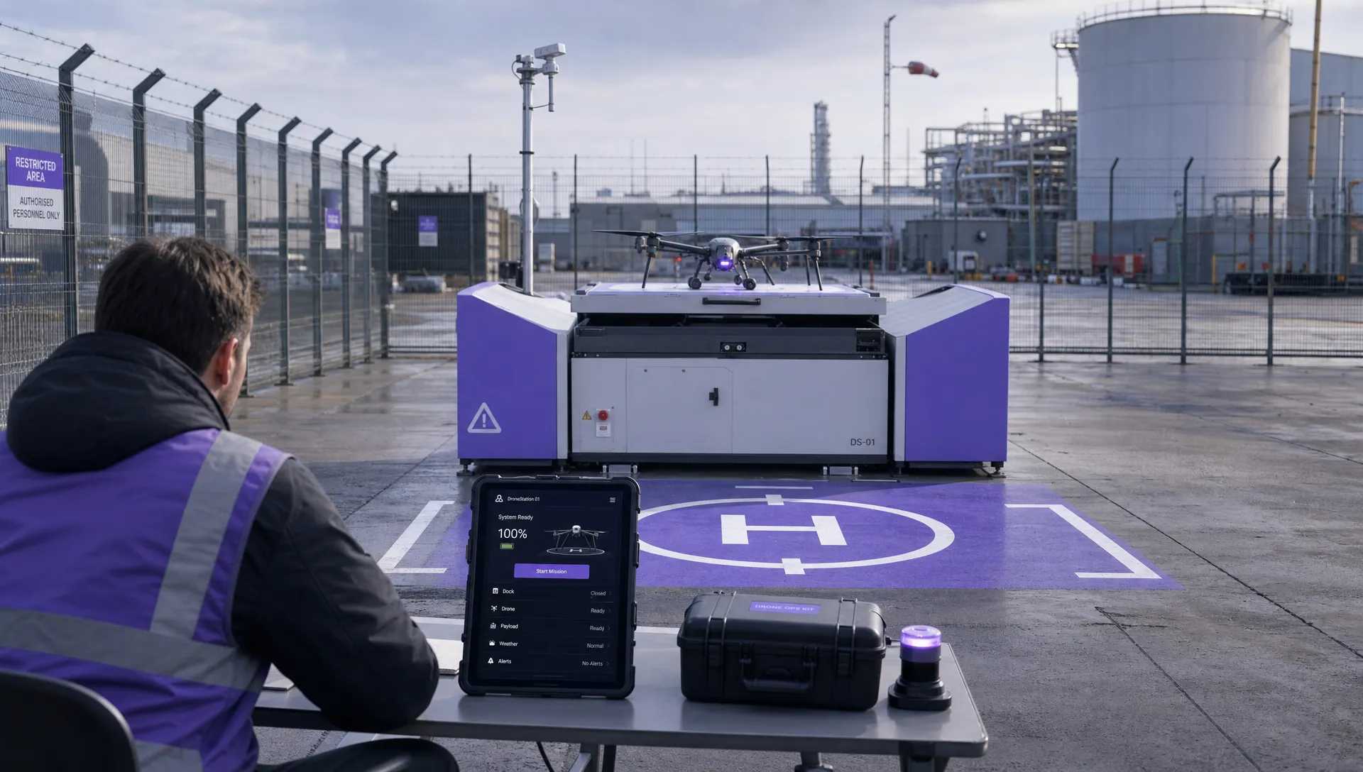 FAA BVLOS Waivers Granted: What Successful Cases Show →
 How to Export DJI Flight Logs for Incident Reviews →
 Drone Safety and Legal Duties for Business Operations →
 EASA Drone Regulations: Open, Specific and Certified Categories →