
How to Check a Drone NOTAM Before You Fly
A drone flight can look routine on paper, then become non-compliant or unsafe because of a temporary airspace change published that morning. That is why checking NOTAMs is not a box-ticking exercise. It is one of the fastest ways to catch short-notice restrictions, unusual aerial activity and hazards that may not appear on a chart or in yesterday’s planning pack.
For UK drone operators, survey teams, utilities and emergency services, the practical question is simple: where do you check, what do you look for, and how do you prove you made a sound go or no-go decision?
This guide walks through the process step by step, with a focus on professional drone operations in UK airspace.
What is a drone NOTAM?
A NOTAM is an official aviation notice used to alert airspace users to temporary or time-sensitive information. In drone operations, people often use the phrase “drone NOTAM” in two ways.
First, it can mean a NOTAM about unmanned aircraft activity, for example a planned UAS operation, model aircraft event or BVLOS trial. Second, it can mean any NOTAM that affects a drone flight, such as a temporary restriction, air display, parachute drop, obstacle, emergency incident or aerodrome activity.
The key point is that a NOTAM does not need to mention drones to matter to you. If it changes the availability, risk or coordination requirements of the airspace you plan to use, it belongs in your pre-flight decision-making.
Where to check NOTAMs before flying a drone
In the UK, the official source for NOTAM briefing is the NATS Aeronautical Information Service. Drone planning apps and digital airspace maps are useful for situational awareness, but professional operators should understand where the underlying information comes from and when to verify it at source.
The CAA Drone and Model Aircraft Code is also essential background reading because it explains the baseline rules for where and how drones can be flown. However, the Drone Code is not a substitute for checking current NOTAMs.
| Source | Best used for | Important note |
|---|---|---|
| NATS AIS | Official UK NOTAM briefing | Use it for formal pre-flight checks and save evidence where appropriate. |
| Drone planning apps | Visual screening and workflow support | Check how current the data is and verify critical items at source. |
| Aerodrome or ATC contacts | Clarifying local procedures or permissions | A NOTAM does not replace an authorisation where one is required. |
| CAA guidance | Understanding legal duties and airspace rules | Guidance sets the baseline, but it will not list every live temporary hazard. |
For operations outside the UK, use the official AIS, ANSP or aviation authority NOTAM service for that country. The same method applies: define the flight area, filter carefully, read the details, then record your decision.
Step 1: Define the drone flight accurately
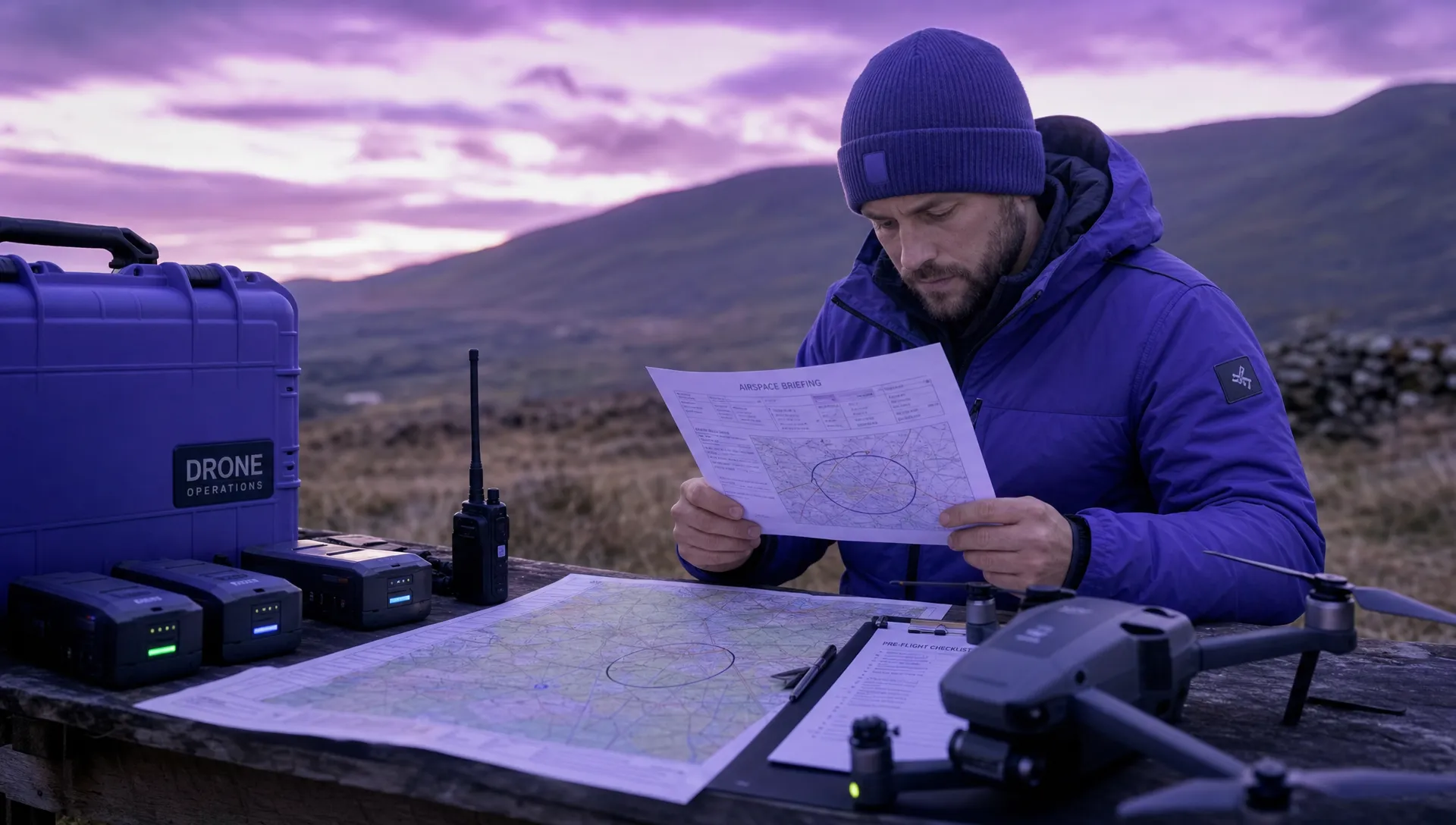
A useful NOTAM check starts before you open the briefing tool. If your search area, time window or altitude is vague, you risk missing something important or drowning in irrelevant notices.
Before searching, write down the operational basics:
- The take-off and landing location, ideally as coordinates.
- The full operating area, not just the launch point.
- The planned date, start time and end time.
- Your maximum operating height, including any contingency margin.
- Nearby aerodromes, heliports, prisons, critical infrastructure, event sites or congested areas.
For inspection and survey work, remember that the aircraft may move along a corridor rather than hover over a single point. For utilities, rail, highways or emergency response, the relevant search area might be a route, polygon or rapidly changing scene rather than a simple radius.
Step 2: Run an official NOTAM briefing
Once you have the details, run a briefing using an official source such as NATS AIS. For a local drone job, a narrow area or route-based briefing is usually more practical than pulling every NOTAM across an entire Flight Information Region.
Set your date and time window to cover the whole operation. If you are operating during British Summer Time, remember that NOTAM times are normally published in UTC, also known as Zulu time. A one-hour time zone mistake can easily make an active restriction look irrelevant.
Use a sensible radius around the operating area. Too small and you may miss nearby activity that affects approach, emergency manoeuvring or deconfliction. Too large and the briefing becomes cluttered. The right radius depends on the operation, but professional teams often apply a buffer that accounts for navigation error, fly-away contingency, nearby aviation activity and the risk profile of the location.
Step 3: Read the NOTAM, not just the map marker
A map symbol can tell you that something exists, but it does not always tell you whether it affects your exact flight. You need to read the NOTAM text and understand the key fields.
| NOTAM element | What to check | Why it matters |
|---|---|---|
| Location | Coordinates, radius, aerodrome reference or named area | Confirms whether the notice overlaps your actual operating area. |
| Effective dates | Start and end date | A future or expired NOTAM may not affect today’s flight. |
| Active schedule | Daily time windows or specific periods | Some NOTAMs are active only at certain times. |
| Lower and upper limits | SFC, AGL, AMSL or flight levels | Determines whether the vertical limits overlap your planned drone height. |
| NOTAM text | Plain-language description and instructions | Explains the hazard, restriction or contact requirement. |
| Contact details | Phone number, ATC unit or sponsor | Useful when coordination or clarification is needed. |
Vertical limits deserve special care. “SFC” means surface. “AGL” means above ground level. “AMSL” means above mean sea level. Flight levels are pressure-based altitudes used in aviation and are not the same as the height value shown in many drone controllers. If you are unsure whether a limit affects your flight, treat it as relevant until clarified.
Step 4: Look for NOTAM types that commonly affect drone flights
Some NOTAMs are obvious. A temporary restricted area directly over your site is hard to ignore. Others are easy to underestimate because they do not say “drone” in the first line.
Temporary restrictions are the highest priority. These may relate to major events, VIP movements, emergency incidents, security operations or airspace management. If a restriction overlaps your operating area, do not assume your Operational Authorisation or routine permission allows you to continue. Check the wording and obtain any required permission before flying.
Unusual aerial activity also matters. Air displays, parachuting, gliding competitions, aerobatics, military exercises and low flying activity can all increase the risk picture for a drone crew, even when your planned height is modest. The safest decision may be to delay, move, reduce the operating area or coordinate with the named contact.
Other UAS activity can appear in NOTAMs too. This does not always prohibit your own flight, but it may introduce deconfliction issues. If two operators are working near the same site, especially at similar heights or near critical infrastructure, coordination is a safety measure as much as a courtesy.
Obstacles and infrastructure notices can be relevant for low-altitude operations. Cranes, masts, lighting outages or temporary structures may not stop a drone flight, but they can affect route planning, emergency landing options and visual line of sight management.
Finally, pay attention to GNSS interference or communications notices. Drone operations can be highly dependent on satellite navigation, telemetry and command links. If a NOTAM warns of jamming, interference trials or degraded navigation performance, that belongs in your risk assessment.
Step 5: Decide what the NOTAM means for your flight
The aim is not simply to find NOTAMs. The aim is to make a defensible operational decision.
A NOTAM may lead to one of several outcomes. You may continue as planned because it is outside your area, outside your time window or above your operating height. You may continue with mitigations, such as a smaller operating area, lower maximum height, extra observer, shorter flight window or direct coordination with another airspace user. You may need to seek permission from an authority named in the NOTAM. Or you may need to postpone or cancel.
For professional drone teams, the reasoning matters. “Checked NOTAMs” is weaker than “Checked NOTAMs at 08:10 UTC, identified temporary activity 2.5 NM east, outside operating area and vertical profile, no change required.” The second version shows that the crew understood the information and applied it to the actual job.
This is where NOTAM checking connects directly to risk management. If a notice affects the likelihood or severity of an airspace conflict, it should be reflected in the flight risk assessment rather than treated as a separate admin task. If you are improving your process, Dronedesk’s guide on building a drone flight risk assessment that works is a useful next step.
Step 6: Save evidence of the check
For a casual Open Category flight, a formal record may not always be proportionate. For commercial work, emergency services, utilities, surveys and repeatable operations, recording the NOTAM check is good practice.
Save the briefing output, screenshot, PDF or reference details with the flight pack. Record who checked it, when they checked it and whether any NOTAMs affected the plan. If you contacted ATC, an aerodrome, event organiser or other authority, record the outcome and any conditions given.
Dronedesk can help bring this into a wider operational workflow. Its platform includes flight planning, airspace intelligence, proximity intelligence, configurable checklists, risk assessments, flight logging and data reporting, so a NOTAM review can sit alongside the rest of your operational record rather than being stored as a loose screenshot or forgotten message thread. You can explore the relevant capabilities on the Dronedesk features page.
Step 7: Re-check before launch
NOTAMs can change after the initial planning stage. A check done days before the job is useful for early feasibility, but it is not enough on its own.
For planned work, check during initial planning, again on the day of operation and once more close to launch if the risk profile justifies it. Emergency services and rapid-response teams may not have the luxury of extended planning, but they still need a quick current airspace check before committing to flight wherever operationally possible.
The closer the flight is to controlled airspace, temporary restrictions, sensitive sites or other aviation activity, the more important this final check becomes. If the NOTAM picture changes, pause and reassess rather than trying to force the original plan to fit new conditions.
Common mistakes when checking a drone NOTAM
One of the most common mistakes is relying only on manufacturer geofencing. DJI or other geozone systems can be helpful, but they are not an official aviation briefing and may not reflect every live NOTAM or local permission requirement.
Another mistake is checking only the take-off point. A drone may remain within visual line of sight while still covering a meaningful area. Your NOTAM search should include the whole operating volume, emergency landing areas and any route between work zones.
Time errors are also frequent. UK local time is not always UTC. If a NOTAM is active from 0900 to 1100 UTC, that is 1000 to 1200 local time during British Summer Time. Build this conversion into your checklist.
Over-filtering can be just as risky as under-filtering. If you set the radius too small or ignore notices above your planned height, you may miss activity that matters for crew situational awareness or emergency procedures. On the other hand, pulling in too much irrelevant information can lead to briefing fatigue. The skill is to filter intelligently, then read critically.
Finally, do not treat the absence of NOTAMs as proof that the flight is safe or authorised. NOTAMs are only one layer. You still need to consider airspace class, Flight Restriction Zones, land access, weather, people, property, privacy, aircraft performance, crew competence and any conditions in your Operational Authorisation.
A simple pre-flight NOTAM checklist
Use this as a practical prompt before each flight. Adapt it to your operations manual and risk level.
- Confirm the exact operating area, height, date and time.
- Check official NOTAM information for the relevant area and period.
- Read the full text for any NOTAM that overlaps horizontally, vertically or operationally.
- Convert UTC times to local time where needed.
- Check whether the NOTAM creates a restriction, hazard, coordination need or no impact.
- Record the outcome in the flight pack or operational system.
- Re-check close to launch if the operation is time-sensitive, high-risk or near complex airspace.
This simple discipline prevents many avoidable surprises. It also gives clients, managers and regulators confidence that airspace risk is being handled consistently.
Frequently Asked Questions
Do UK drone pilots have to check NOTAMs before flying? Drone pilots are expected to understand the airspace and restrictions that affect their flight. For professional operations, checking current NOTAMs is a standard part of safe and compliant pre-flight planning.
Is a drone NOTAM the same as a DJI geofence warning? No. A NOTAM is official aviation information. A geofence warning is a manufacturer or app-based alert, which may be useful but should not be treated as a complete NOTAM briefing.
How close to take-off should I check NOTAMs? Check during planning, then again on the day of flight. For higher-risk or time-sensitive work, re-check shortly before launch because temporary restrictions and hazards can be issued at short notice.
What should I do if a NOTAM overlaps my flight area? Read the active times, vertical limits and text carefully. You may need to delay, change the plan, add mitigations, contact the named authority or obtain permission. If in doubt, do not launch until clarified.
Can I rely on a drone planning app for NOTAMs? Apps are valuable for workflow and visual awareness, but for formal or safety-critical decisions you should know the official source and verify critical NOTAM information where necessary.
Make NOTAM checks part of the whole flight workflow
A good NOTAM check is quick, current and recorded. It should feed into the risk assessment, crew briefing, flight plan and final go or no-go decision, not sit separately in someone’s browser history.
If your team is moving beyond spreadsheets and scattered documents, Dronedesk gives drone operators a single platform for planning, airspace checks, risk assessments, checklists, flight logs and operational records. That makes it easier to run repeatable, auditable drone operations without losing sight of the simple question that matters before every launch: is the airspace safe and available right now?
 How to Build a Drone Pilot Flight Log That Is Audit Ready →
 FAA Drone Licence Requirements for Commercial Pilots →
 FAA BVLOS Waivers Granted: What Successful Cases Show →
 How to Export DJI Flight Logs for Incident Reviews →
 Drone Safety and Legal Duties for Business Operations →
 EASA Drone Regulations: Open, Specific and Certified Categories →
 What the BVLOS ARC Report Means for UAS Operators →
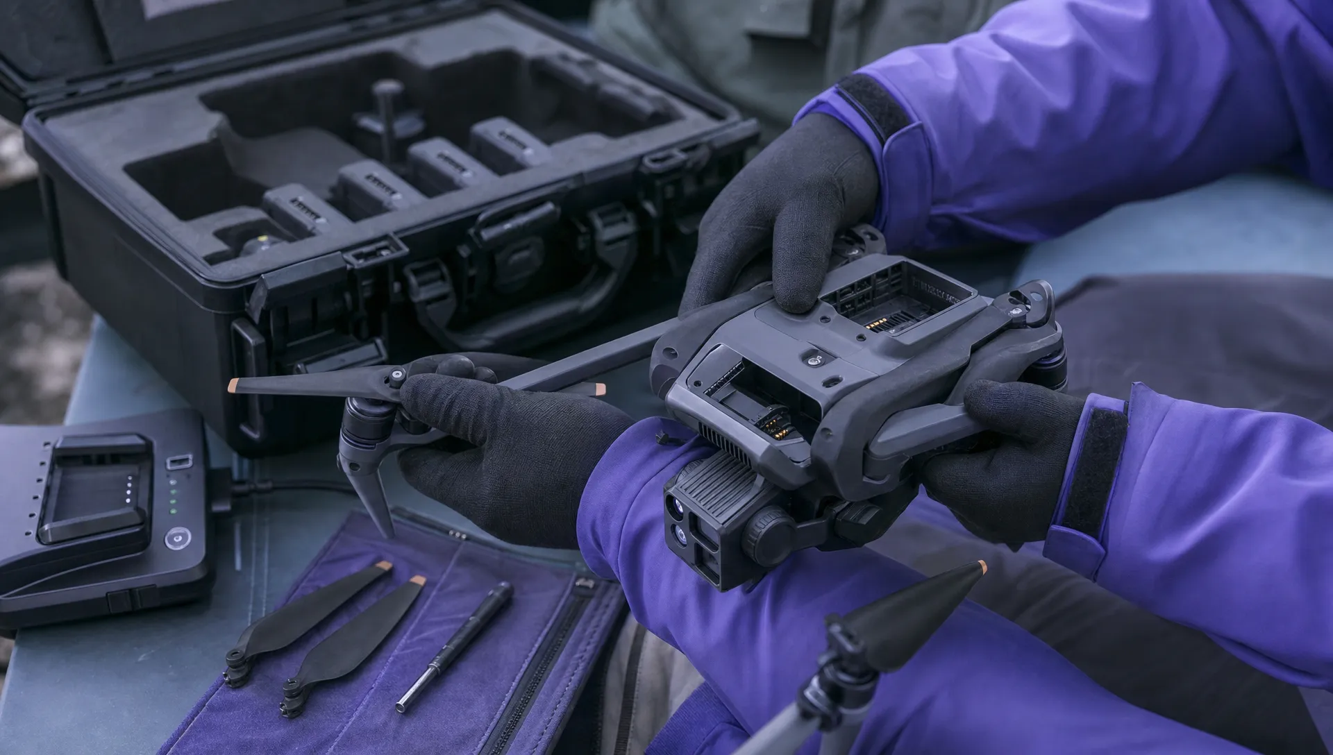 Free Drone Pre-Flight Checklist for Commercial Missions →
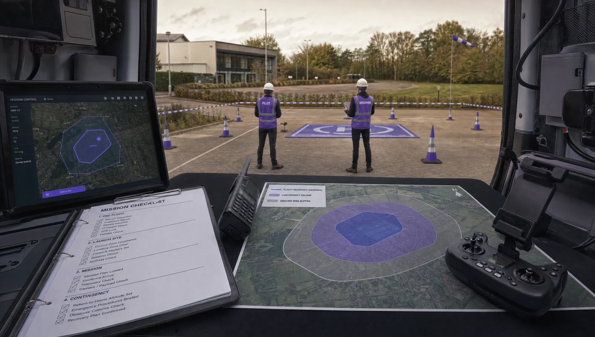 Contingency Volume and Flight Risk Buffer Explained →
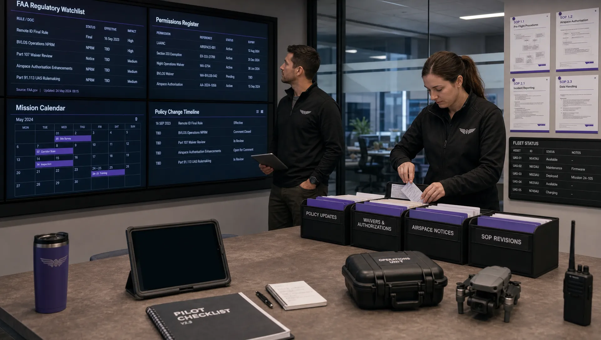 FAA Policy Changes That Commercial Drone Teams Should Track →