
Drone Videography Planning Tips for Professional Crews
Professional drone videography is won or lost before the aircraft leaves the case. On a busy commercial shoot, your crew may be balancing client expectations, changing light, airspace restrictions, public access, talent schedules, battery limits and safety obligations all at once. Good planning turns that pressure into a controlled workflow.
For professional crews, planning is not just about getting permission to fly. It is about making sure the creative brief is achievable, the flight can be conducted safely, the client knows what to expect and the operation can be evidenced afterwards if anyone asks how decisions were made.
The tips below are designed for drone operators, production teams, survey companies, utilities and emergency service media teams that need reliable aerial footage without improvising on site.
Start with the creative outcome, not the aircraft
A common mistake in drone videography planning is to start with the drone, lens or flight mode. Professional crews should start with the final deliverable.
Before you build the flight plan, clarify:
- The story or operational purpose of the footage
- The required aspect ratios, resolution and frame rates
- Whether the client needs cinematic movement, evidential clarity or both
- The must-have shots versus nice-to-have shots
- The intended use, such as broadcast, social, inspection record, stakeholder update or incident documentation
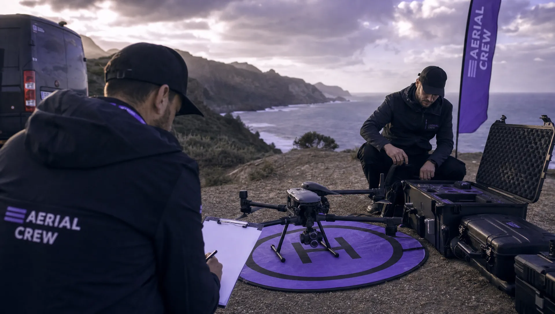
This matters because the same location can require very different planning depending on the output. A cinematic property reveal may prioritise golden-hour light and smooth parallax. A utility infrastructure film may prioritise repeatable angles, asset identification and safe separation from hazards. Emergency service footage may prioritise speed, clarity and command decision-making.
Write the creative brief in operational language. Instead of “get a dramatic approach shot”, define “slow forward reveal from south-west boundary, 50 metres AGL maximum, camera tilted from 20 degrees down to horizon, no overflight of public footpath”. That wording helps pilots, observers, camera operators and clients share the same picture.
Build the location picture early
Drone videography often involves visually attractive locations that are operationally awkward. City centres, coastlines, industrial sites, event venues, roads, railways, utilities, heritage buildings and emergency scenes all add planning complexity.
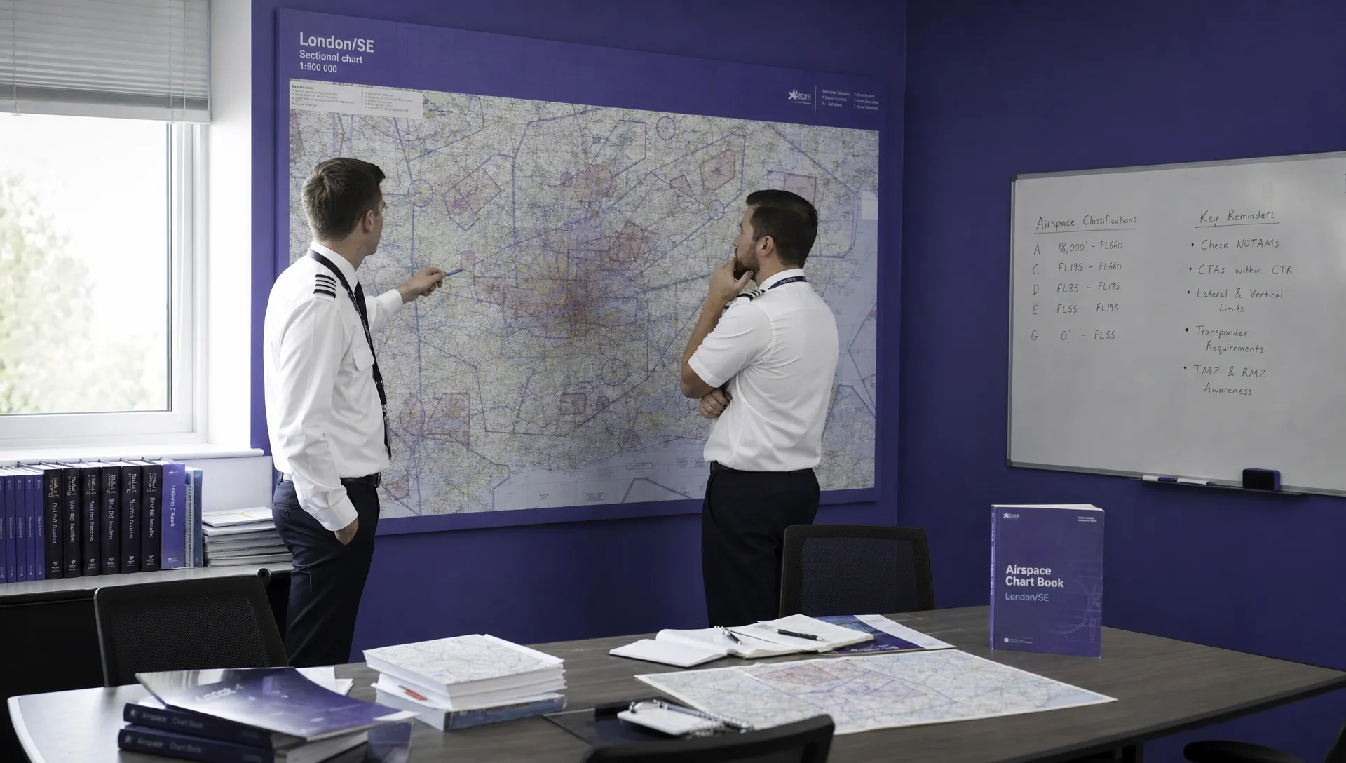
Start with a desktop survey, then refine it with local intelligence. Look for controlled or restricted airspace, nearby aerodromes, temporary restrictions, sensitive sites, schools, hospitals, prisons, congested areas, public rights of way, livestock, wildlife, overhead cables, cranes, masts, trees and likely sources of radio interference.
In the UK, operators should refer to current Civil Aviation Authority guidance and make sure their planning reflects the category and permissions relevant to the operation. The CAA drone guidance is a sensible starting point, but crews should always check the latest applicable requirements before flight.
For professional work, do not separate the creative recce from the safety recce. A beautiful tracking shot along a river may be unusable if the launch point has poor separation, the recovery area is narrow, or the route crosses uncontrolled public access. Equally, a technically safe location may not deliver the client’s visual objective.
A good location plan should answer three questions: can we legally fly here, can we safely fly here and will the footage meet the brief?
Convert the storyboard into a flyable shot plan
A storyboard is not a flight plan. It becomes useful for drone crews only when each shot is translated into operational detail.
For each planned shot, define the launch point, recovery point, flight path, intended height, subject distance, camera direction, likely obstacles, separation requirements, communications method and abort option. If you use FPV for dynamic work, include the spotter positions, pilot sightlines, penetration limits and emergency recovery choices.
The aim is not to remove creativity. It is to protect it. When everyone knows the operational boundaries, the pilot and camera team can focus on timing, framing and smooth execution.
| Creative requirement | Planning question | Risk check |
|---|---|---|
| Low reveal over foreground | Where is the safe minimum height and obstacle margin? | People, animals, wires, uneven ground |
| Orbit around a subject | Is there a clear 360 degree path and stable GNSS coverage? | Trees, structures, bystanders, loss of orientation |
| Tracking moving vehicles | Can separation and permissions be maintained throughout? | Roads, driver distraction, speed, abort route |
| Vertical top-down shot | Is the subject area controlled beneath the aircraft? | Overflight, privacy, downwash, emergency landing area |
| FPV interior or close-proximity move | Who controls access and where is the recovery zone? | Signal loss, property damage, crew positioning |
Prioritise the shots that are hardest to repeat. If a shot depends on a tide, road closure, talent availability or very specific light, plan it first. Shots that can be captured later with fewer constraints should not consume the best flying window.
Define crew roles before arriving on site
Professional drone videography is rarely a one-person task when the location is complex or the client brief is demanding. Even when one person is legally able to fly alone, a crew structure can improve safety and consistency.
Typical roles include the remote pilot, camera operator, visual observer, production lead, location manager, safety marshal and client contact. On smaller shoots, one person may hold more than one role, but the responsibilities still need to be explicit.
Before the shoot, agree who has authority to pause or stop the operation. This is especially important when a client is under time pressure or a director wants “one more pass” after conditions have changed. The remote pilot must not be put in a position where creative pressure overrides safe decision-making.
A short pre-flight briefing should cover the plan, weather, hazards, no-go areas, communication signals, emergency actions, take-off and landing points, public interaction and what will trigger a stop. Keep it concise, but make it specific to the site.
Treat risk assessment as a creative enabler
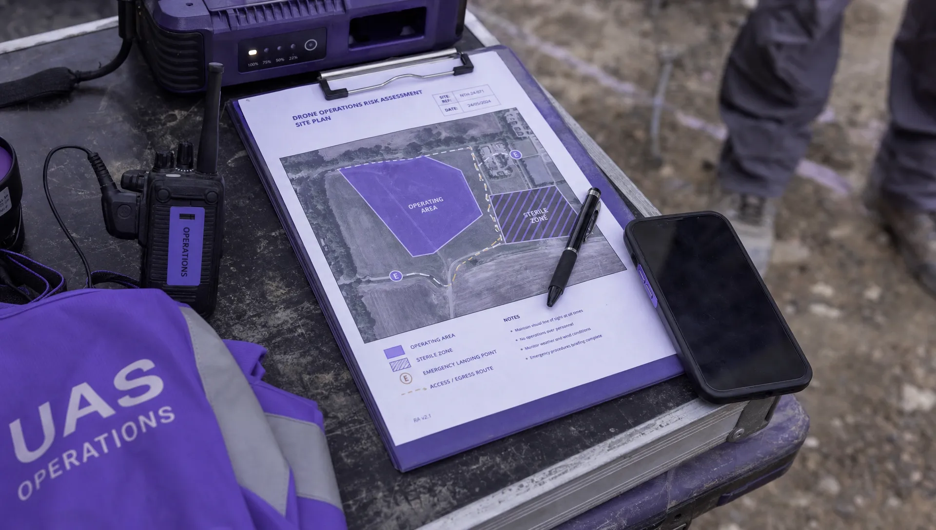
Risk assessment is sometimes seen as paperwork that slows production down. In reality, a practical risk assessment helps crews capture better footage because it identifies what is feasible before the team is standing in front of the client.
For drone videography, the risk assessment should connect directly to the shot plan. If the planned move is a low tracking shot past a building, the risk controls should address the actual hazards in that move, not just generic drone risks.
Key areas to assess include:
- Airspace and regulatory constraints
- Ground access and public interface
- Obstacles, cables, structures and terrain
- Weather, light and visibility
- People, vehicles, animals and property
- Lost link, flyaway, battery and emergency landing options
- Privacy, data protection and client site rules
If your current process is too generic, Dronedesk has a useful guide on building a drone flight risk assessment that works. The most effective assessments are specific enough to guide decisions, but simple enough that crews actually use them on site.
Plan for weather, light and timing as operational constraints
For videographers, weather is both a safety factor and a visual factor. Wind, precipitation, temperature, visibility, cloud base and solar position can all change the viability of a shot.
Wind is especially important near buildings, cliffs, trees and industrial structures, where turbulence can be much stronger than the general forecast suggests. A planned smooth lateral move may become unusable if gusts produce aircraft movement or gimbal compensation artefacts.
Light should be planned with the same discipline as airspace. Note sunrise, sunset, golden hour, blue hour, shadow direction and glare risk. If filming reflective surfaces, water, glass, solar panels or vehicles, check where the sun will be during each planned shot.
Build a weather decision point into the schedule. For example, agree when the go or no-go decision will be made, who will make it and whether there is a backup date. This avoids vague expectations and helps clients understand that postponement is a professional safety decision, not a lack of commitment.
Prepare the aircraft, payloads and data workflow
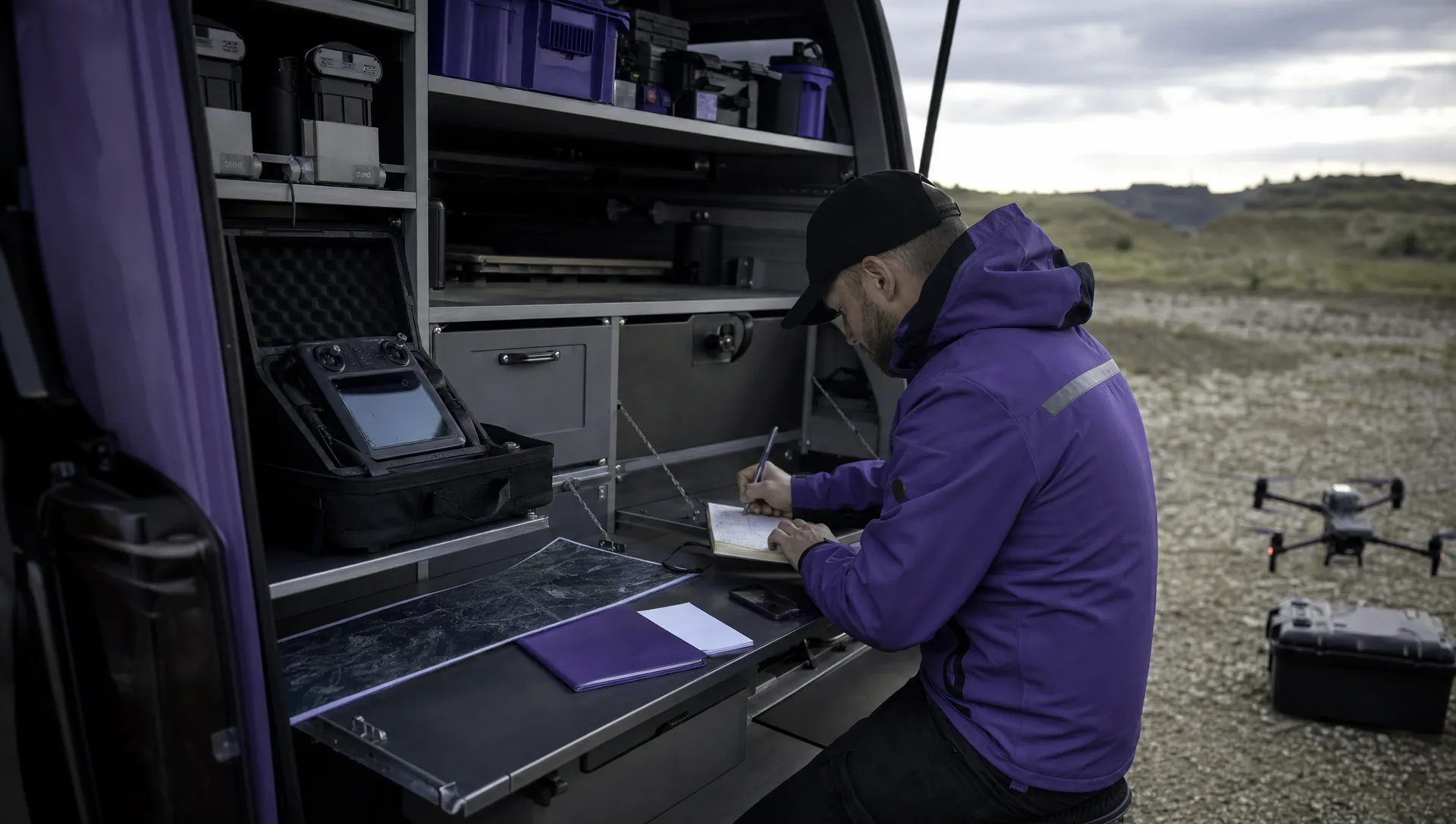
A professional drone videography plan should include the kit workflow from charging to file handover. Many shoot delays are caused by small avoidable issues: missing ND filters, outdated firmware, full memory cards, unlabelled batteries, incompatible cables or unclear file naming.
Before the shoot, confirm aircraft serviceability, controller status, firmware compatibility, propeller condition, battery health, charger availability, lens cleanliness, memory card capacity, payload settings and backup equipment. If you operate multiple aircraft, assign each one to a specific purpose rather than deciding on site.
Battery planning should be based on useful filming time, not theoretical flight time. A battery that offers 30 minutes in ideal conditions may provide far less usable time once you include setup, positioning, rehearsals, wind margin, reserve, landing and review. Plan batteries per shot block, and do not rely on using every pack to its minimum safe level.
Data planning is equally important. Decide who handles cards, where files are backed up, how folders are named, whether proxies are required and how footage is transferred to the editor or client. For sensitive work, such as utilities, emergency services or restricted sites, confirm data handling expectations before filming.
Manage client expectations before the day
Drone videography clients often understand the visual value of aerial footage, but not the operational constraints. A professional crew should educate without overwhelming.
Before the shoot, explain what can affect the plan: airspace approvals, landowner permission, public access, weather, safety separation, privacy, site hazards and changing operational conditions. Make sure the client understands that a planned shot is subject to final on-site assessment.
It is also worth agreeing what success looks like if conditions change. For example, if high wind prevents a high reveal, would a lower tracking shot still satisfy the brief? If a public area is busier than expected, can the crew film from a controlled private area instead? These conversations reduce friction on the day.
For clients in infrastructure, utilities or emergency services, planning should also cover site induction, PPE, escort requirements, radio procedures and exclusion zones. These details may seem separate from videography, but they directly affect whether the crew can operate efficiently.
Use digital operations management to keep the crew aligned
As drone videography teams grow, scattered spreadsheets, email threads, paper checklists and separate flight logs become harder to manage. A structured operations platform helps keep planning, execution and records connected.
Dronedesk is an all-in-one web platform for drone operators that brings together areas such as client management, fleet management, team management, airspace intelligence, proximity intelligence, flight planning, flight logging, data reporting, configurable checklists and risk assessments. You can review the current capabilities on the Dronedesk features page.
For creative operators, the value is consistency. Each job can follow a repeatable process while still allowing the shot plan to be tailored to the brief. For larger organisations, including utilities and emergency services, having flight planning, risk assessment and logging in a shared system can also support oversight across multiple pilots and sites.
If you want to see how this applies in a creative setting, the Dronedesk FPV pilot case study is a useful example of how an aerial cinematography business approaches operational planning alongside demanding visuals.
Run the shoot with a live decision-making rhythm
Even the best plan will meet reality on site. The difference between amateur and professional execution is how the crew handles change.
Use a simple rhythm: brief, fly, review, adjust, brief again. After each flight, confirm whether the shot is usable before moving on. Check focus, exposure, movement, horizon, subject position, unwanted reflections, people entering frame and any vibration or gimbal issue.
If the director or client requests a new shot, treat it as a new mini-operation. Ask whether it changes the flight path, height, separation, overflight, battery plan, crew positions or emergency options. If it does, update the plan rather than casually adding it.
Keep communication short and standardised during flight. Long discussions on the radio or shouted instructions can distract the pilot. Agree plain phrases for hold, abort, land, people entering area, vehicle entering area and lost visual contact.
Close the loop with flight logging and review
Post-flight work is part of professional drone videography planning because it improves the next job. Log what was flown, what changed, what worked and what should be amended in future plans.
A good post-flight review should capture:
- Actual flight times and battery performance
- Weather compared with the forecast
- Any safety issues, near misses or public interactions
- Shots completed, missed or changed
- Equipment faults or data issues
- Lessons for similar locations or clients
This record is useful for compliance, client confidence and internal improvement. It also helps crews build a knowledge base. If you regularly film similar assets, sites or events, previous logs can make future planning more accurate.
Frequently Asked Questions
What is the most important part of drone videography planning? The most important part is aligning the creative brief with operational reality. A shot is only useful if it can be flown safely, legally and repeatably while still meeting the client’s visual objective.
How far ahead should professional crews plan a drone video shoot? Plan as early as possible, especially if the location may involve airspace permissions, landowner approval, site inductions, road access, public areas or specialist crew. Simple shoots may need days, while complex commercial or infrastructure work may need weeks.
Should drone videography crews use a shot list or a full flight plan? Use both. The shot list defines the creative requirement, while the flight plan translates each shot into safe operational detail, including launch points, routes, heights, hazards, crew roles and abort options.
How can crews handle last-minute client shot requests? Treat each new request as a change to the operation. Check whether it affects permissions, risk, battery reserves, crew positions, public access or emergency procedures before agreeing to fly it.
What records should be kept after a drone videography job? Keep flight logs, risk assessments, checklists, crew notes, battery records where relevant, incident notes and any client-specific documentation. Good records support compliance, repeatability and continuous improvement.
Plan better aerial shoots with Dronedesk
Professional drone videography needs more than creative instinct. It needs a repeatable planning process that connects clients, crew, aircraft, airspace, risk assessments, checklists and flight logs.
Dronedesk helps drone operators manage those workflows in one place, so crews can spend less time chasing paperwork and more time delivering safe, well-planned aerial work. If your team is ready to make flight planning more consistent, explore how Dronedesk can support your next operation.
 How to Evaluate a Free Drone Logbook Before Using It →
 FAA Part 107 Test: How to Master Airspace Questions →
 Drone Risk Assessment Controls That Work in the Field →
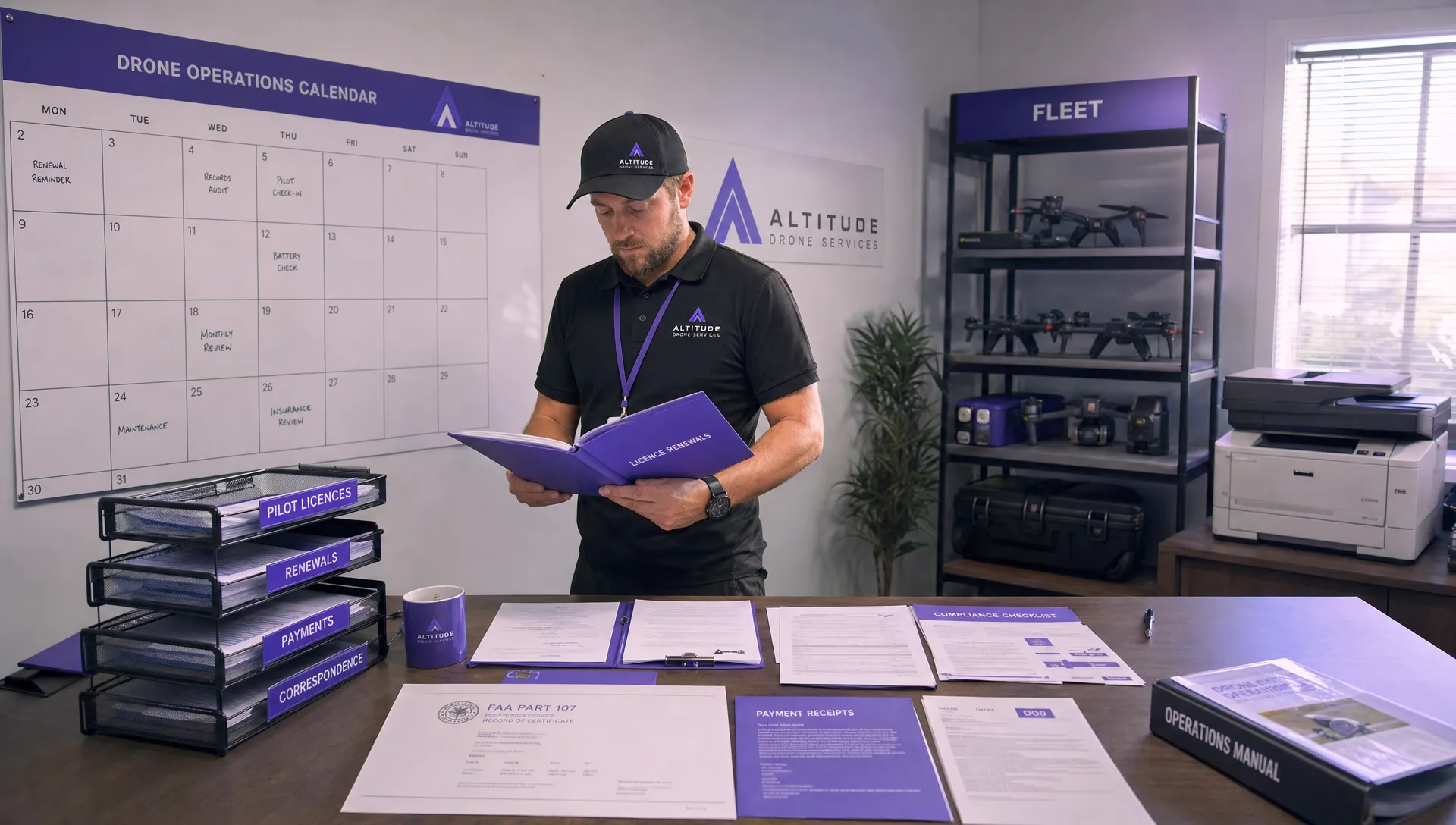 FAA Drone License Costs Beyond the Knowledge Test →
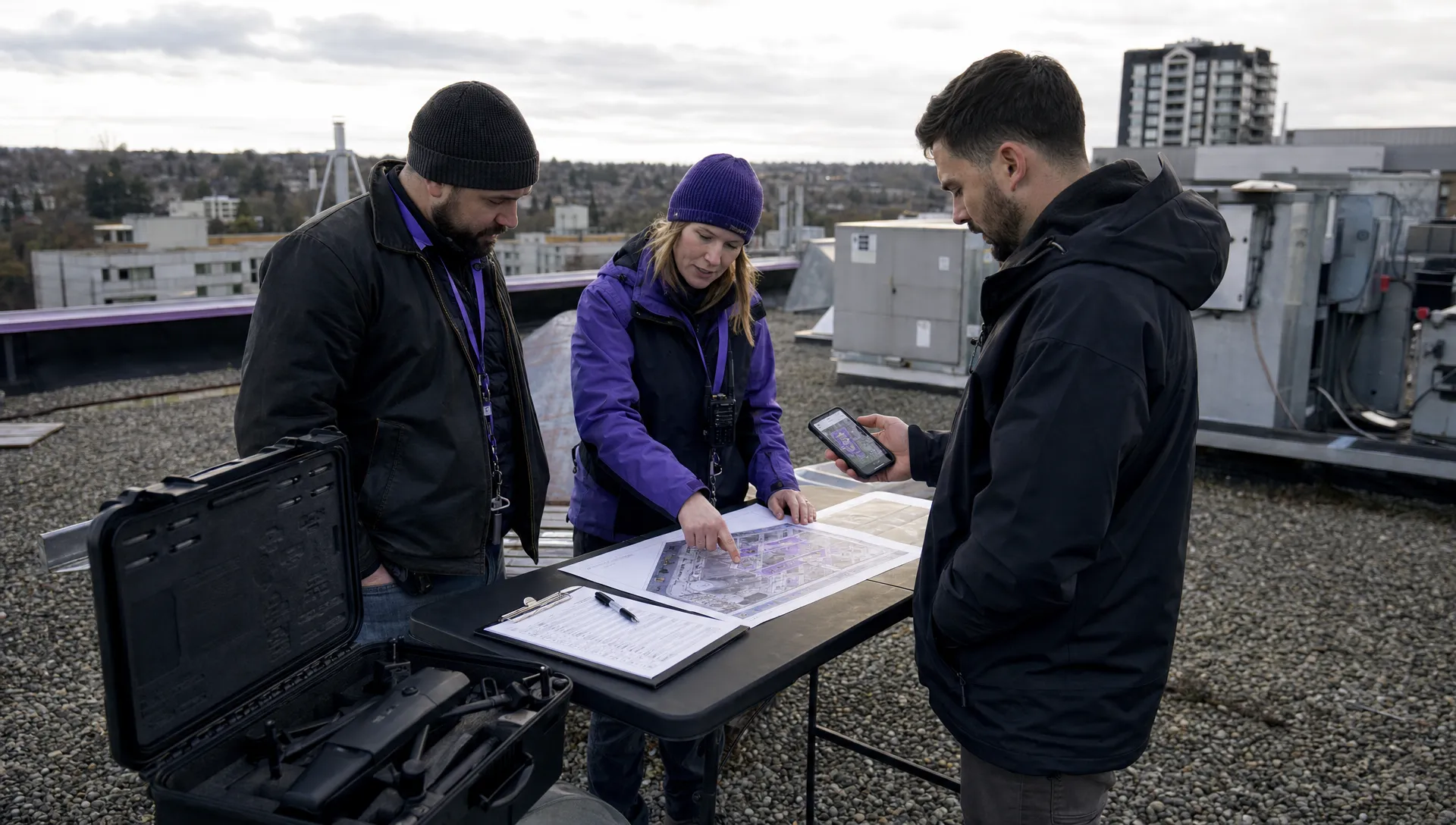 Drone Part 107 Operations: When a Waiver May Be Needed →
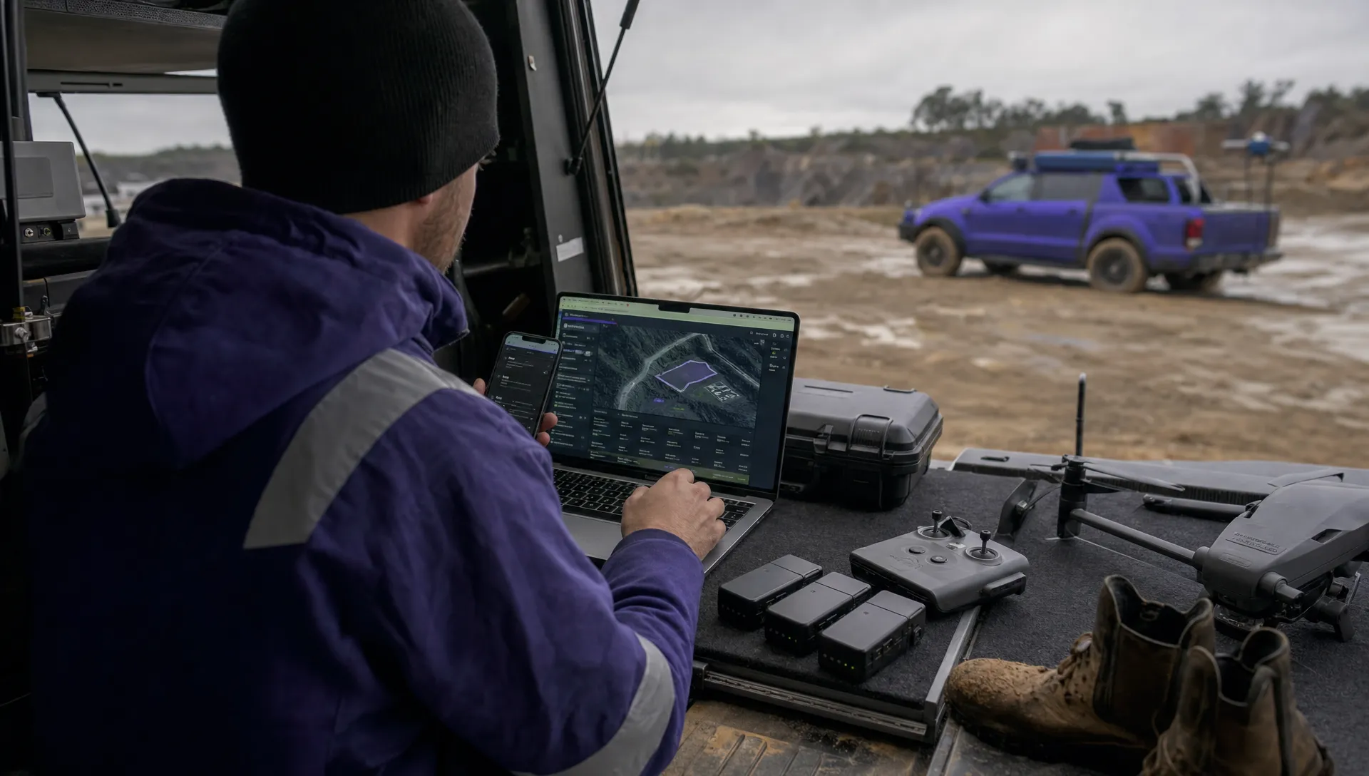 Drone Operating Rules for Managing Contractors and Employees →
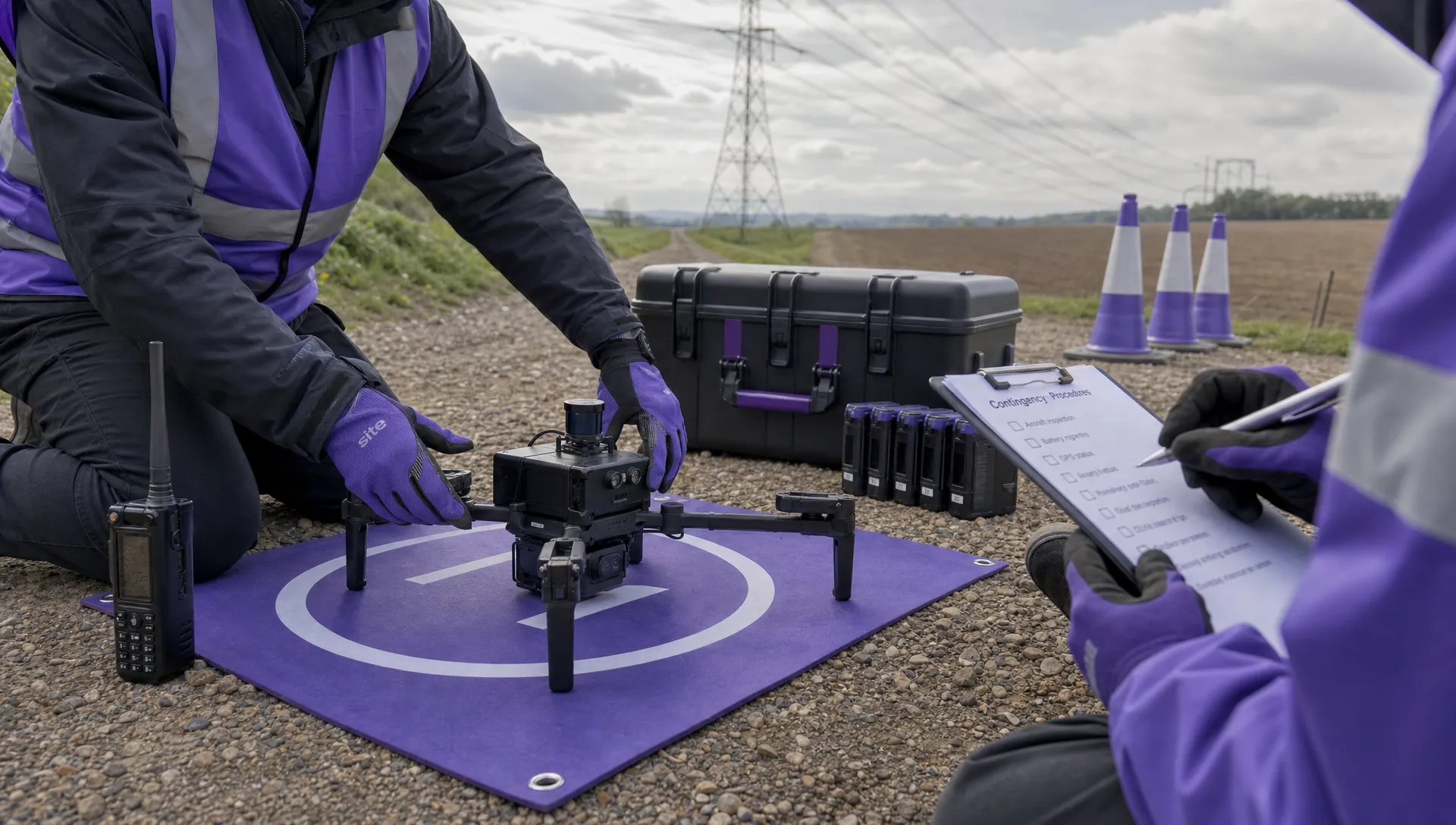 BVLOS Drone Requirements for Building a Safety Case →
 Drone Pilot Test Mistakes That Cost Candidates Marks →
 FAA 107 License vs Part 107 Certificate: What’s the Difference? →
 Drone Airport Rules: A Field Checklist for Site Assessments →