
FAA Part 107 Test: How to Master Airspace Questions
The FAA Part 107 test can feel most unforgiving when it moves from common-sense safety into airspace. The good news is that most airspace questions follow a repeatable pattern: identify the class of airspace, read the sectional chart correctly, compare the proposed drone altitude with the airspace floor and choose the answer that keeps the operation legal.
Airspace knowledge also matters after the exam. The FAA states that Part 107 covers the operating rules for small unmanned aircraft used for non-recreational purposes, and its official overview is the best starting point for checking the current rule set: FAA Part 107 small UAS regulations. Treat this guide as test preparation, then verify live operational decisions against official FAA sources before flying.
What the FAA Part 107 test really asks about airspace
Airspace questions are not there to make you memorise every line on a chart. They test whether you can decide if a remote pilot needs authorisation, whether the proposed flight sits below or inside controlled airspace and whether nearby airports or special-use areas change the risk picture.
The exam often gives you a sectional chart extract, a proposed location and a flight altitude. Your job is to work from the outside in: find the location, identify the airspace boundary, read any altitude labels, then apply Part 107 logic.
Controlled and uncontrolled airspace
On the FAA Part 107 test, the key split is controlled versus uncontrolled airspace. Class B, C and D airspace are controlled. Class E can be controlled from the surface, from 700 feet AGL, from 1,200 feet AGL or from other charted floors. Class G is uncontrolled.
For drone pilots, that distinction has a practical consequence. Under Part 107, operations in Class B, C, D or the surface area of Class E airspace designated for an airport require airspace authorisation. Class G does not require FAA airspace authorisation solely because it is Class G, but all other Part 107 limits still apply.
Do not reduce the answer to whether an airport is nearby. A small airport can sit in Class G. A larger airport may be surrounded by controlled airspace from the surface. The chart decides.
Airspace classes at a glance
Use this table as a revision aid, not as a substitute for the current FAA chart legend. The FAA Aeronautical Chart User’s Guide is the authoritative reference for VFR chart symbols.
| Airspace type | Common sectional chart clue | What it usually means for Part 107 |
|---|---|---|
| Class B | Solid blue boundaries with altitude shelves | Authorisation is required if your drone flight enters the controlled shelf |
| Class C | Solid magenta boundaries with altitude shelves | Authorisation is required if your drone flight enters the controlled shelf |
| Class D | Dashed blue boundary, usually from the surface to a charted ceiling | Authorisation is required within the lateral boundary |
| Class E at surface | Dashed magenta boundary | Authorisation is required when it is a surface area designated for an airport |
| Class E above surface | Shaded magenta or blue transition areas | A drone below the Class E floor may still be in Class G |
| Class G | Not labelled as G on the chart | Uncontrolled airspace, but Part 107 rules and other restrictions still apply |
Sectional chart clues that decide the answer
Many FAA Part 107 test airspace questions are lost because the candidate reads the right symbol in the wrong way. A sectional chart is dense, so use a fixed scan instead of jumping between symbols.
Start with the airport colour. On sectional charts, blue airport symbols generally indicate airports with control towers. Magenta airport symbols generally indicate airports without control towers. That clue matters, but it is not the whole answer. You still need to read the airspace boundary and any altitude information around it.
Airport data blocks and frequencies
Airport data blocks can include the airport name, elevation, lighting, runway length and communication frequencies. For test purposes, pay attention to field elevation because altitude questions often mix MSL and AGL.
A communication frequency near an airport is not the same as permission to operate a drone in controlled airspace. For modern Part 107 operations, airspace authorisation is normally handled through FAA-approved systems such as LAANC, where available, or through the FAA DroneZone process. The FAA’s LAANC page explains how near real-time airspace authorisations work for approved areas.
Altitude labels and shelf floors
For the FAA Part 107 test, altitude is often the trap. Manned aviation charts usually express airspace shelves in MSL, while small UAS operating limits and scenario altitudes are often written in AGL. Convert before answering.
| Chart notation | How to read it | Why it matters |
|---|---|---|
| 100/40 on a Class B or C shelf | Ceiling 10,000 feet MSL, floor 4,000 feet MSL | A drone below the floor may not be inside that shelf |
| SFC | Begins at the surface | A drone inside the lateral boundary is in controlled airspace |
| A Class D ceiling such as 25 | Ceiling normally 2,500 feet MSL | The surface area still matters for low-altitude UAS flights |
| 700 feet AGL Class E transition area | Class E begins above the surface | A 400 feet AGL drone may remain below controlled Class E |
| Field elevation | Airport height above mean sea level | Needed when converting between MSL and AGL |
A practical scan pattern for every airspace question
A strong FAA Part 107 test habit is to answer airspace questions in the same order every time. First, locate the proposed operating area. Second, identify the airspace boundary. Third, read the floor and ceiling. Fourth, decide whether the drone flight enters controlled airspace or another restricted area.
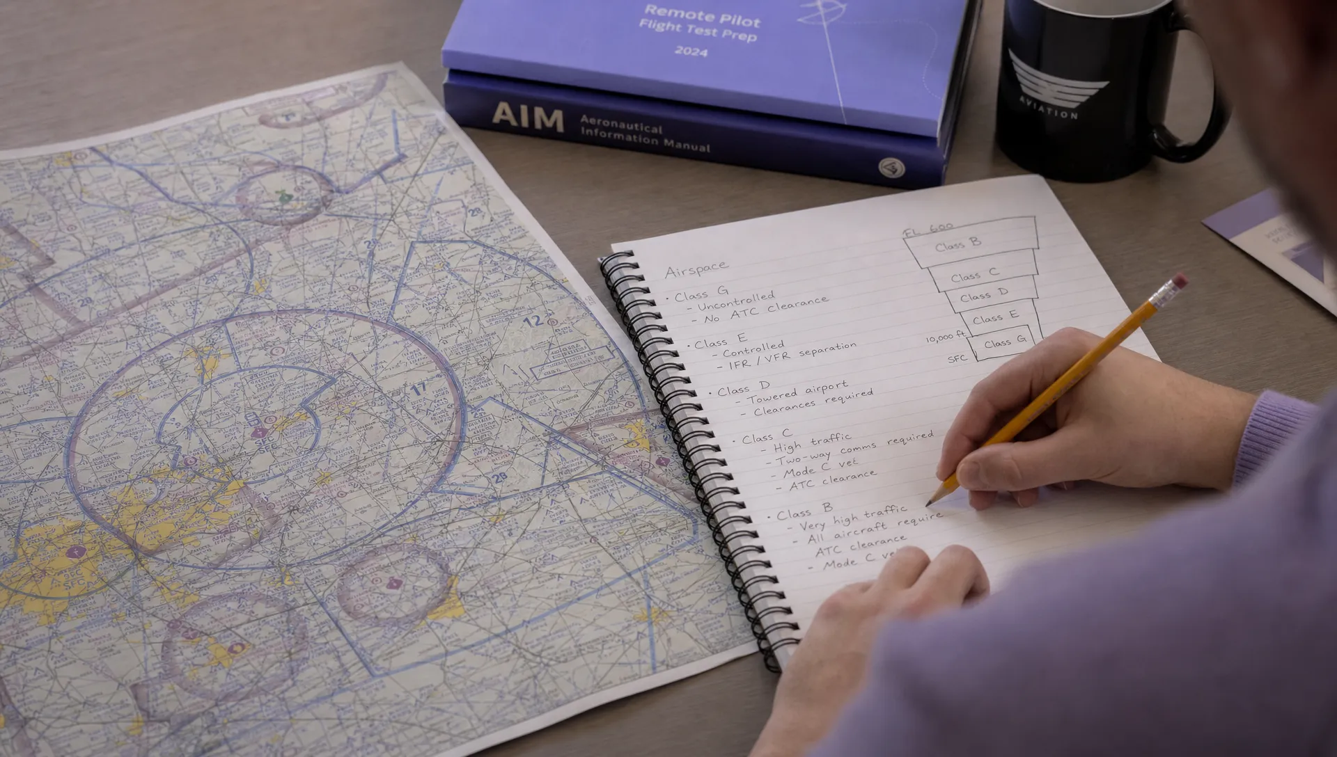
Step 1: Find the exact location
Use rivers, roads, railways, towns and airport identifiers to orient yourself before you answer. Candidates sometimes see a nearby airport and assume the whole area is controlled. Slow down and place the aircraft on the correct side of the airspace boundary.
If the question gives coordinates, practise plotting latitude and longitude until it feels routine. In the exam, coordinates are not usually difficult, but they punish rushing.
Step 2: Identify the controlling boundary
Look for blue or magenta lines, then decide whether they are solid, dashed or shaded. Solid blue or magenta lines often indicate Class B or C shelves. Dashed blue points to Class D. Dashed magenta points to Class E beginning at the surface.
Shaded Class E transition areas need extra care. If the Class E floor is 700 feet AGL and the proposed UAS flight is at 300 feet AGL, the aircraft may still be operating in Class G underneath that controlled airspace.
Step 3: Compare the flight altitude with the shelf
Some FAA Part 107 test answers are wrong because they compare AGL directly with MSL. If a Class C shelf begins at 1,200 feet MSL and the airport elevation is 600 feet MSL, a 400 feet AGL drone would be around 1,000 feet MSL near that elevation. That can change whether it enters the shelf.
This is why the field elevation is not background information. When the question gives it, use it.
Step 4: Check special-use airspace and temporary restrictions
Special-use airspace includes areas such as prohibited areas, restricted areas, military operations areas, warning areas and alert areas. The chart label and boundary tell you what type you are dealing with, but live operations require current checks because activity can vary.
Temporary Flight Restrictions are another operational concern. They may not be visible on a static study chart, but the exam expects you to understand that TFRs can override what would otherwise look like a straightforward area.
Common FAA Part 107 test traps in airspace questions
The common traps are predictable, which means you can train them out. When reviewing practice questions, do not only mark whether you were right. Write down why each wrong option was tempting.
Assuming every airport creates controlled airspace
A nearby airport does not automatically mean controlled airspace. Many non-towered airports sit in Class G or under Class E that starts above the surface. The safest test habit is to identify the airport, then prove the airspace class from the boundary and shading.
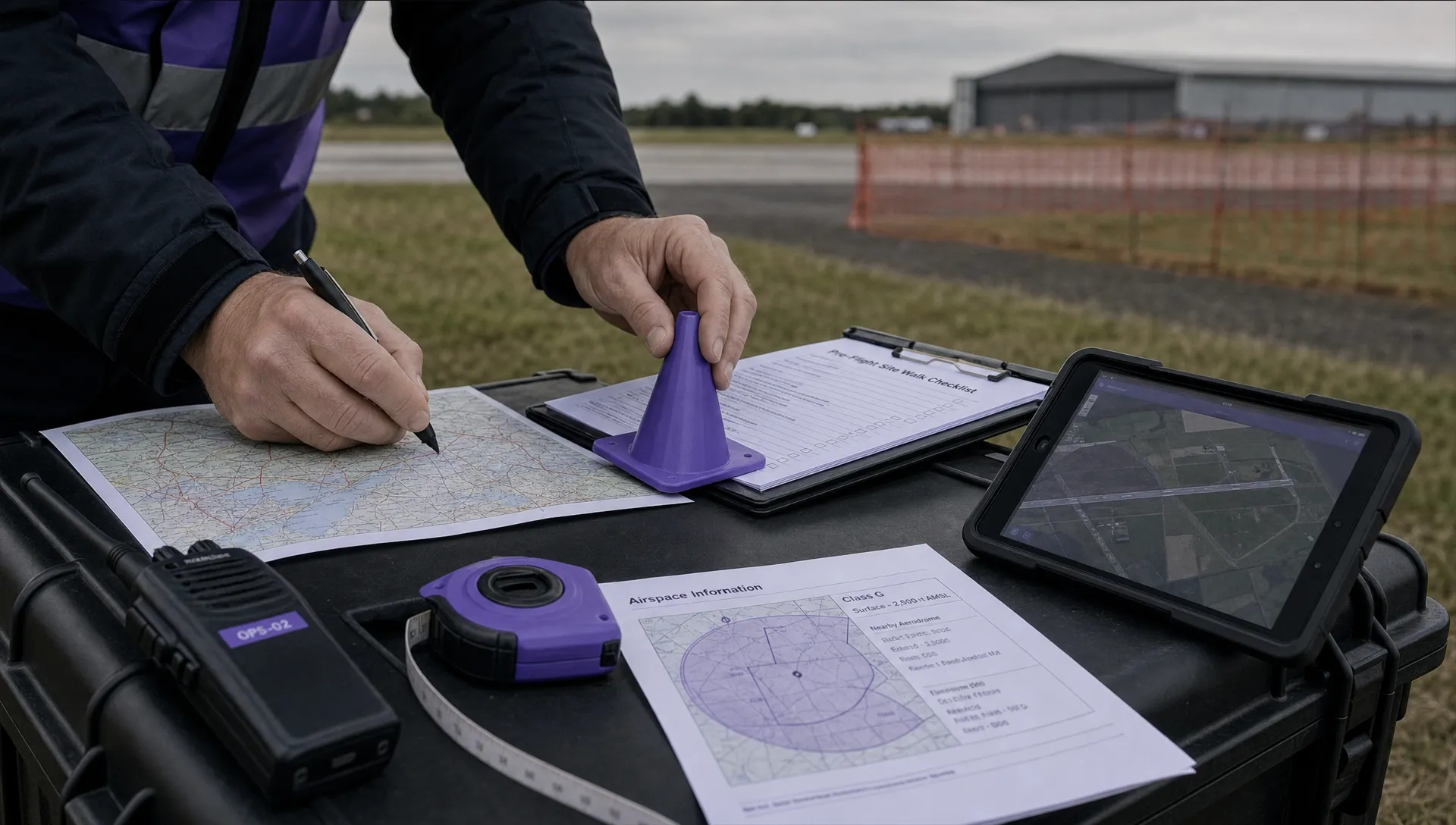
For real-world planning, airport proximity still deserves care because traffic patterns, local procedures, people and property all affect operational risk. Dronedesk has a separate guide on airport drone rules and planning flights without surprises that connects the chart work to practical flight planning.
Forgetting that authorisation is not a phone call
The exam may present answer choices that sound practical, such as contacting a control tower. Under Part 107, the correct concept is FAA airspace authorisation for controlled airspace operations. LAANC is the common route where it is available, with FAA DroneZone used for other requests.
Read the wording carefully. If an answer suggests casual permission rather than the required authorisation process, it is probably not the best answer.
Treating the chart as the whole risk assessment
Passing the FAA Part 107 test proves knowledge, not operational judgement. A legal airspace answer does not automatically make a flight safe. Once you are operating commercially, the airspace decision should feed into a wider pre-flight process that considers people, property, crew roles, weather, emergency procedures and site hazards.
That is where structured operations management helps. Dronedesk supports drone operators with flight planning, airspace intelligence, proximity intelligence, configurable checklists, risk assessments and flight logging, as described on the Dronedesk features page.
How to practise airspace questions efficiently
The fastest FAA Part 107 test improvement usually comes from focused chart practice rather than rereading notes. Take ten sectional chart questions at a time and review them by error type: boundary mistake, altitude conversion mistake, symbol mistake or rule mistake.
Build a short routine before every practice question. Say the airspace class out loud, identify the floor, state whether the proposed drone altitude enters it, then choose the answer. This forces you to reason instead of guessing from pattern recognition.
Use official FAA material wherever possible, especially the current chart legend and testing supplement. Third-party videos and flashcards can help, but they should not replace official references.
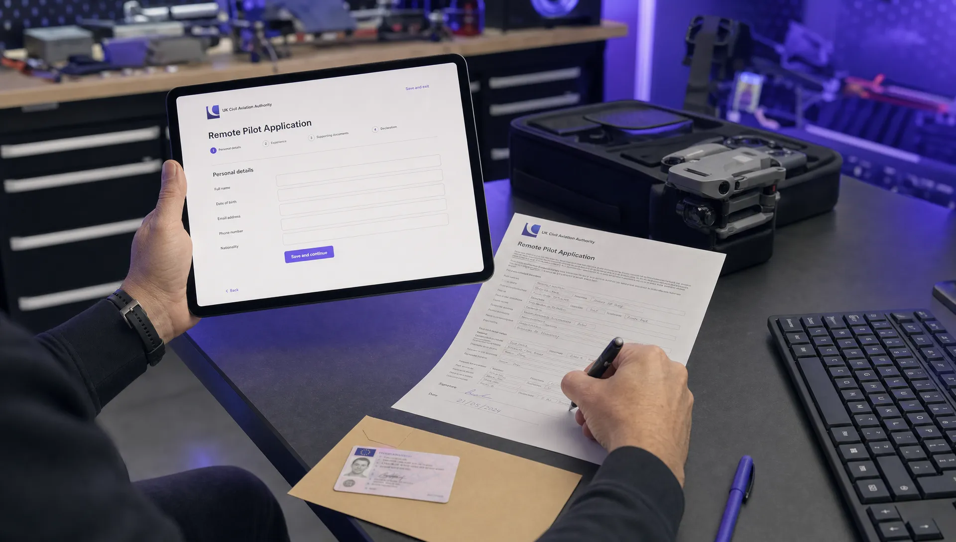
If you are still working through the certification process itself, the Dronedesk step-by-step Part 107 application guide can help you connect study preparation with the wider path to becoming a certificated remote pilot.
Frequently Asked Questions
How hard are airspace questions on the FAA Part 107 test? They are manageable if you learn a repeatable chart-reading process. Most questions test airspace class, chart symbols, altitude floors and whether authorisation is required.
Do I need to memorise every sectional chart symbol? No, but you should know the common airspace boundaries, airport colours, altitude notations and special-use airspace labels. You should also know how to use the FAA chart legend.
Does Class E always require authorisation for drones? No. Part 107 authorisation is required for Class E surface areas designated for an airport. If Class E begins at 700 feet or 1,200 feet AGL and your drone remains below that floor, you may be in Class G, subject to other rules and restrictions.
Is LAANC part of the exam? You should understand that controlled airspace operations require FAA authorisation and that LAANC is a common FAA-approved way to request it where available. Always check current FAA guidance before operating.
Bring test knowledge into real operations
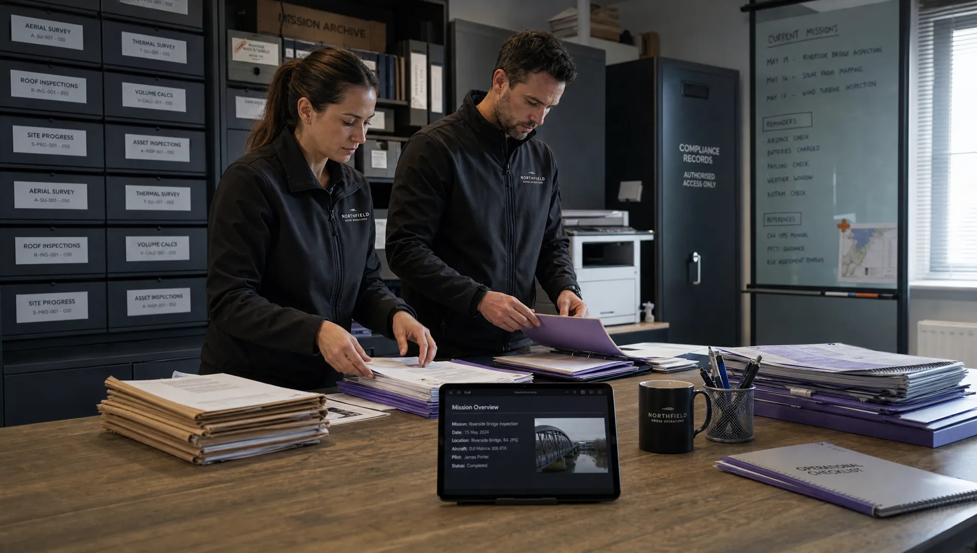
Mastering airspace questions is not only about passing an exam. For survey teams, utilities, emergency services and commercial drone operators, the same discipline supports safer planning and cleaner compliance records.
Once the FAA Part 107 test is behind you, keep the airspace habit alive in every job: read the chart, verify current restrictions, document your planning decision and brief the team. If you want one place to manage the operational admin around that process, explore Dronedesk and see how its planning, risk assessment and logging tools fit into your workflow.
 FAA Part 107 Test: How to Master Airspace Questions →
 Drone Risk Assessment Controls That Work in the Field →
 FAA Drone License Costs Beyond the Knowledge Test →
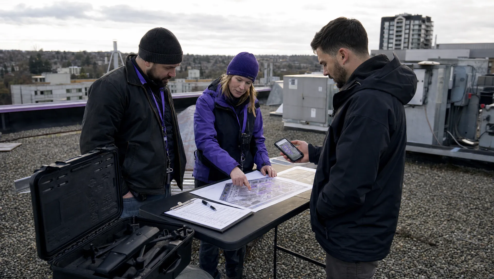 Drone Part 107 Operations: When a Waiver May Be Needed →
 Drone Operating Rules for Managing Contractors and Employees →
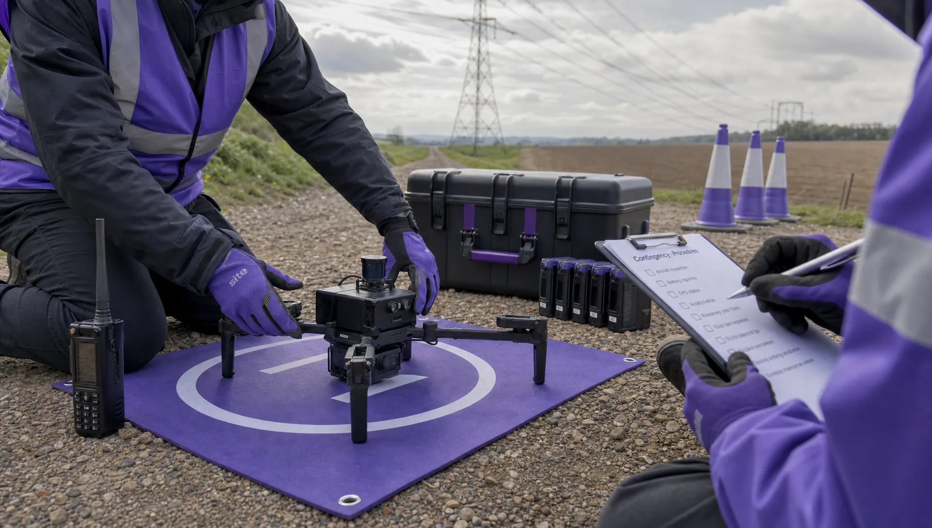 BVLOS Drone Requirements for Building a Safety Case →
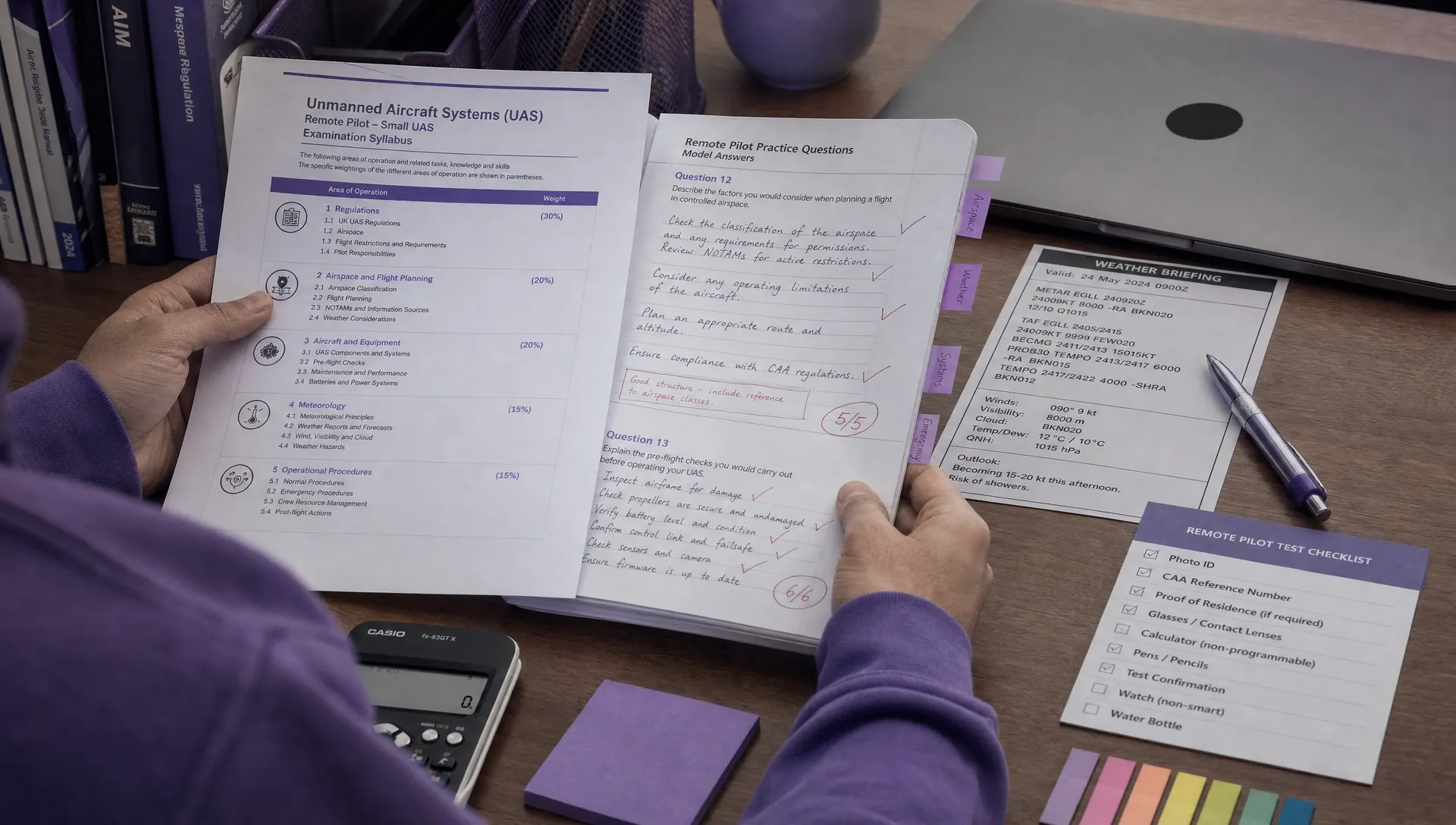 Drone Pilot Test Mistakes That Cost Candidates Marks →
 FAA 107 License vs Part 107 Certificate: What’s the Difference? →
 Drone Airport Rules: A Field Checklist for Site Assessments →
 FAA Part 107 Record-Keeping Rules for Commercial Teams →