
Drone Risk Assessment Controls That Work in the Field
A drone risk assessment only protects the operation if its controls can be applied under real field pressure: changing weather, moving people, impatient clients, poor mobile signal and unexpected obstacles. The best controls are specific enough for the crew to follow, simple enough to brief quickly and measurable enough to prove later.
For commercial operators, survey firms, utility teams and emergency services, the aim is not to create a bigger document. It is to stop foreseeable harm without making the mission unworkable. If you need the wider assessment structure before choosing controls, Dronedesk has a separate guide on how to build a drone flight risk assessment that works. This article focuses on the controls that actually stand up on site.
What makes a drone risk assessment control field-ready?
A field-ready control has three qualities. It reduces a real risk, it can be executed by the people present and it leaves evidence that the control was considered or applied. If one of those is missing, the control is probably just a sentence in a form.
A good control is also tied to a trigger. “Maintain separation from uninvolved people” is too vague on its own. “Use a cordoned operating area, hold take-off until pedestrians have cleared the path and assign a visual observer when the footpath is active” gives the crew a method and a decision point.
In practical terms, a drone risk assessment should name the hazard, describe the control, assign responsibility and state when the flight must pause or stop. That last part matters. Crews need permission, written in the plan, to call a halt when assumptions change.
Controls should follow a hierarchy where possible. Removing the hazard is stronger than warning people about it. Changing the flight profile is stronger than relying on a pilot to react perfectly. Personal judgement still matters, but it should not be the only thing standing between a routine task and a serious incident.
Start with hazards that change on site
Many weak assessments fail because they treat the site as static. A quiet industrial estate at 08:00 can become a congested delivery yard by 10:00. A field used for a mapping survey can gain walkers, livestock or vehicles during the sortie. An emergency response scene can change minute by minute as cordons move and other agencies arrive.
Your pre-flight planning should identify known hazards, but the field brief should challenge every assumption before launch. Has the take-off area changed? Are new people present? Has the wind direction altered the safest emergency landing option? Is the crew still able to maintain visual line of sight in the intended sector?
A drone risk assessment becomes useful when it treats change as normal rather than exceptional. Build in “stop and reassess” triggers for weather limits, people entering the operating area, lost communications, aircraft activity, GNSS degradation, battery performance concerns and client pressure to fly outside the agreed envelope.
Regulatory context also affects your controls. UK operators should check current Civil Aviation Authority drone guidance, EU operators should check EASA drone regulations and US operators should check FAA Part 107 information. For higher risk specific operations, formal methodologies such as UK SORA.htm) or JARUS publications may be relevant, depending on jurisdiction and authorisation.
Ground risk controls that crews can actually use
Ground risk is often the most immediate practical problem: people, vehicles, property, livestock, highways, railways, security staff and members of the public who do not know a flight is taking place. The control needs to work without assuming perfect cooperation from everyone nearby.
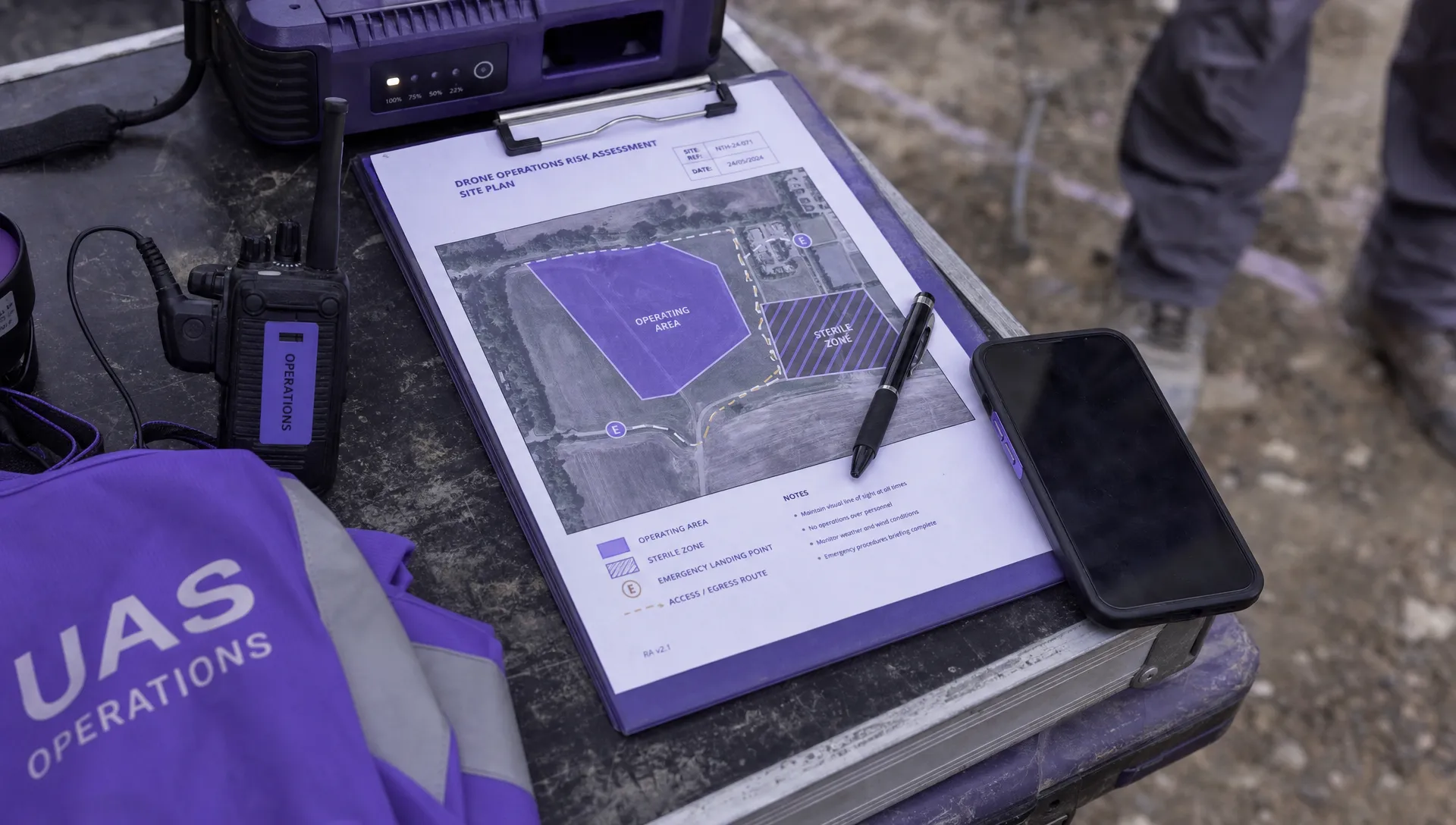
The strongest ground controls are physical or procedural. Cones, signs, barriers, spotters, agreed access points, client briefings and timed flight windows all reduce reliance on the remote pilot noticing every movement. When people are likely to enter the area, the plan should say who challenges them, who pauses the flight and where the aircraft goes if the approach continues.
| Field hazard | Control that works | Evidence to capture |
|---|---|---|
| Pedestrians near the take-off point | Mark a sterile area and assign one crew member to monitor access | Site photo, crew role in brief, note in flight log |
| Vehicles entering the work area | Agree vehicle hold points with the site contact before launch | Client briefing record, map annotation |
| Uninvolved people below flight path | Alter route, height or timing to avoid overflight where required | Updated mission plan, risk note |
| Emergency landing uncertainty | Identify primary and secondary landing zones before take-off | Marked map, pilot brief confirmation |
| Public interest in the aircraft | Use a crew member for public liaison, away from the remote pilot | Crew assignment, post-flight note if engaged |
The point is to make the control visible. If a drone risk assessment says “maintain a safe operating area”, the crew should be able to show what that meant on the day, not just what it meant in theory.
Airspace and proximity controls for busy environments
Airspace control starts before the crew arrives, but it does not end there. Temporary restrictions, emergency helicopter activity, nearby aerodromes, NOTAMs, low flying aircraft and local site activity can all affect the go or no-go decision. Utilities, infrastructure inspections and emergency service tasks often occur in places where aviation risk is not obvious from ground level.
A practical control is to combine pre-flight airspace checks with an on-site airspace scan and a clear listening brief. If the team uses observers, they should know what sector they are watching, what language to use and what instruction immediately pauses the mission. “Aircraft, north-west, low level” is more useful than a general warning shouted at the pilot.
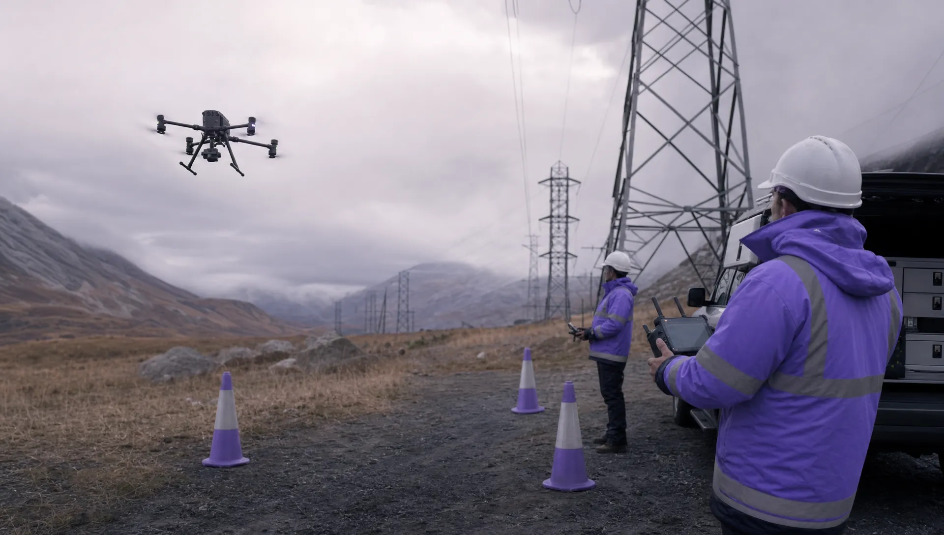
Proximity controls should cover more than aircraft. Power lines, masts, cranes, temporary structures, trees, water, reflective surfaces, magnetic interference and radio obstructions can affect the aircraft or the pilot’s situational awareness. For inspection work, a lateral stand-off distance and abort route should be planned before the aircraft gets close to the asset.
A drone risk assessment should not simply list these features. It should convert them into operating limits, such as maximum wind at height, minimum clearance from the structure, required observer positions, return-to-home settings and criteria for switching from automated capture to manual control.
Controls by operation type
Different sectors tend to see different control failures. A mapping crew may struggle with site access and ground movement. A utility inspection team may face electromagnetic interference, difficult terrain and pressure to capture a specific defect. An emergency services team may need to operate around rapidly changing cordons and other aircraft.
Survey and mapping operations
For surveys, the main field risk is often routine repetition. Crews fly similar sites so often that the task begins to feel automatic. Controls should force a fresh check of today’s version of the site: crop height, public access, livestock, machinery, temporary structures, weather at altitude and landing options.
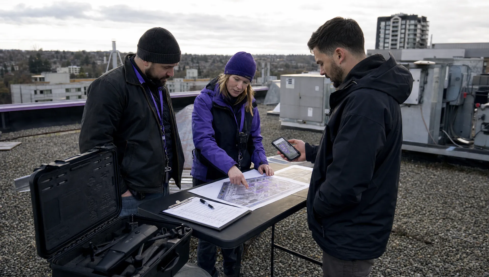
A sensible control is a short “delta brief” before each launch. The pilot states what has changed since planning, the observer confirms access and airspace conditions and the mission proceeds only if both agree the plan still fits.
Utility and infrastructure inspections
Utility work benefits from conservative approach controls. Decide stand-off distances, approach angles, emergency climb routes and no-fly sectors before take-off. Where the asset is sensitive, the plan should define who can request a closer look and who has authority to refuse it.
A drone risk assessment for utility work should also consider site-specific hazards such as substations, overhead conductors, confined access routes, uneven ground, security requirements and third-party contractors working nearby. Dronedesk’s utility company case study gives useful context on the planning burden faced by large infrastructure operators.
Emergency services and public safety tasks
Emergency service operations often have dynamic benefits and dynamic risks. The aircraft may provide valuable situational awareness, but the scene may include smoke, crowds, helicopters, moving cordons, blue-light vehicles and pressure to launch quickly.
Controls should be command-friendly. Keep the brief short, define the pilot’s reporting line, nominate one person to coordinate with incident command and set clear limits on where the drone will not fly. If manned aircraft arrive, the crew must have a pre-agreed action rather than debating it in the moment.
Human factors are controls, not soft extras
Most incident chains include human factors: fatigue, distraction, confirmation bias, unclear authority, client pressure or task fixation. Treating these as vague “soft” issues is a mistake. They can be controlled in the same way as other risks if the procedure is clear enough.
Use role separation when the task requires it. The remote pilot should not also be managing the client, checking public access, responding to phone calls and adjusting camera settings during a high workload flight. For larger jobs, a visual observer, payload operator or site liaison can reduce task saturation.
A drone risk assessment should include workload controls for complex missions. Examples include maximum sortie duration, mandatory breaks, a sterile cockpit rule during take-off and landing, defined handover language, a rule that client requests go through the flight lead and a clear process for stopping when any crew member is uncomfortable.
Briefings are strongest when they are short and repeatable. A two-minute crew brief that covers today’s hazards, roles, abort words, emergency landing zones and communication method is more valuable than a long document nobody revisits once the aircraft is powered on.
Turn controls into records and learning
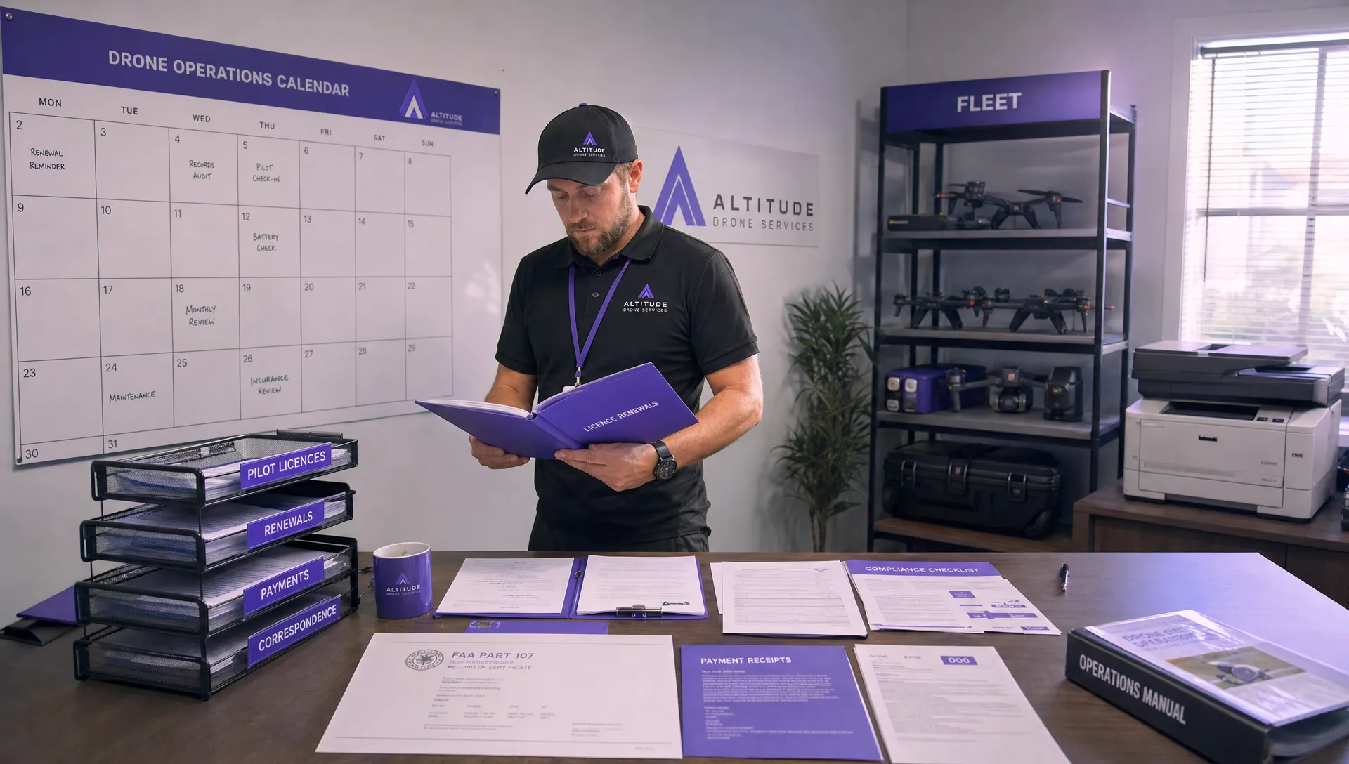
A control that is not recorded may still reduce risk, but it is harder to defend, audit or improve. Commercial operators need evidence that the right checks were performed, especially when working for utilities, survey clients, public sector bodies or emergency service partners.
The record does not need to be burdensome. Capture the final site map, the crew brief, weather decision, airspace check, battery issue, public interaction, aborted launch or change to the mission plan. Small notes made at the right time are more useful than a polished report written from memory a week later.
Dronedesk brings risk assessments together with flight planning, airspace and proximity intelligence, configurable checklists, flight logging, fleet management, team management, client management and reporting in one platform, as described on the Dronedesk features page. That matters because controls are easier to apply consistently when they sit inside the same workflow as the job, aircraft, crew and flight record.
Post-flight review closes the loop. If the crew had to change the plan, record why. If the return-to-home height was unsuitable, update the standard setting. If a member of the public entered the cordon, improve the access control for similar sites. Flight data can also support review, and DJI operators can inspect logs with the Dronedesk DJI flight log analysis tool.
A quick field check before take-off
Before every launch, the crew should be able to answer a small set of practical questions. This is not a replacement for the full assessment, but it catches the gap between office planning and field reality.
- Has anything changed since the original plan was approved?
- Are the take-off, landing and emergency landing areas still suitable?
- Are uninvolved people, vehicles or animals likely to enter the operating area?
- Have airspace, NOTAM, weather and local site activity checks been refreshed?
- Does every crew member know their role and the abort instruction?
- Are return-to-home, failsafe and battery limits appropriate for this site?
- Is the client clear that safety decisions sit with the flight team?
- Is the evidence trail good enough to explain the decision later?
A drone risk assessment is strongest when the field check is allowed to change the answer. If conditions no longer match the plan, the professional decision is to amend, delay or cancel, not to keep flying because the paperwork was already completed.
Common control mistakes to avoid
The most common mistake is writing controls that cannot be observed. “Pilot to remain vigilant” may be true, but it is weak unless supported by something visible, such as an observer, defined scan sectors, reduced workload or a lower complexity flight path.
Another mistake is copying controls from previous jobs without checking whether the site is genuinely comparable. A quarry, substation, railway embankment and urban roof survey may all involve inspection work, but their ground risk, emergency landing options and communications challenges can be completely different.
The third mistake is failing to give the crew authority to stop. If the culture rewards completing the task at all costs, the written control will lose to operational pressure. A good control makes the safe decision easy to make and easy to justify.
For that reason, the owner of the drone risk assessment should review rejected flights as well as completed flights. Cancellations often contain the best evidence that the system is working.
Frequently asked questions
What is a control in a drone risk assessment? A control is a practical measure that reduces the likelihood or severity of a hazard. Examples include changing the flight route, using a visual observer, cordoning the take-off area, delaying for weather or setting a clear abort procedure.
How often should field controls be reviewed? Review them before every launch, whenever site conditions change and after any unusual event. For repeated work, review patterns across several jobs so that common issues can be built into standard procedures.
Who should approve changes to controls on site? The remote pilot or nominated flight lead should have clear authority to amend, delay or stop the operation. For complex work, the process for client or incident command input should be agreed before take-off.
Do simple operations still need documented controls? Yes. Even low complexity work benefits from a clear record of hazards, decisions and limits. The documentation can be proportionate, but it should still show how the crew reached a safe operating decision.
Make safer controls easier to repeat
Field-ready controls are specific, visible and easy to brief. They help crews make good decisions under pressure and give managers a reliable evidence trail after the job.
If your operation is growing beyond spreadsheets, disconnected checklists and copied documents, Dronedesk can help bring planning, risk assessments, checklists, airspace intelligence and flight records into one operational workflow. The goal is simple: safer decisions, less duplicated admin and more consistent drone operations in the field.
 Drone Risk Assessment Controls That Work in the Field →
 FAA Drone License Costs Beyond the Knowledge Test →
 Drone Part 107 Operations: When a Waiver May Be Needed →
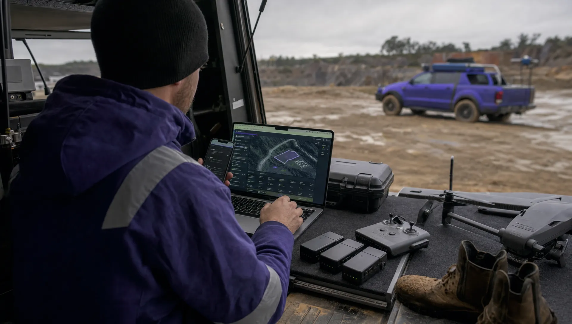 Drone Operating Rules for Managing Contractors and Employees →
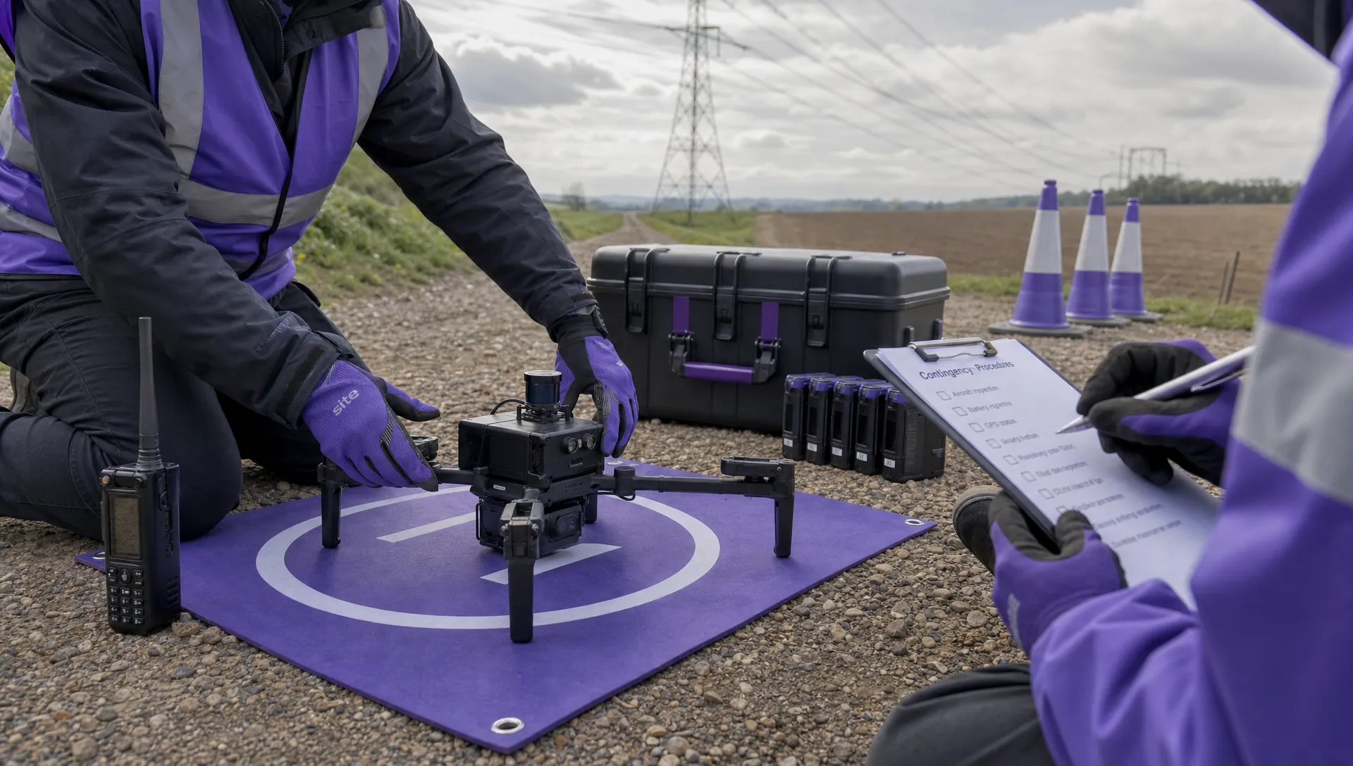 BVLOS Drone Requirements for Building a Safety Case →
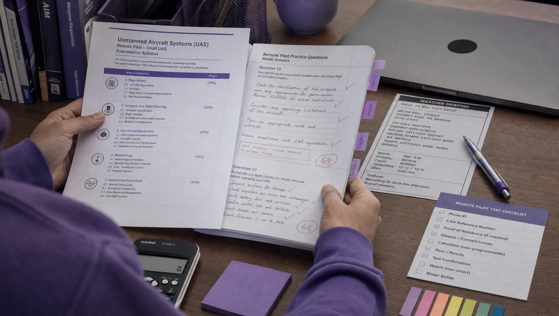 Drone Pilot Test Mistakes That Cost Candidates Marks →
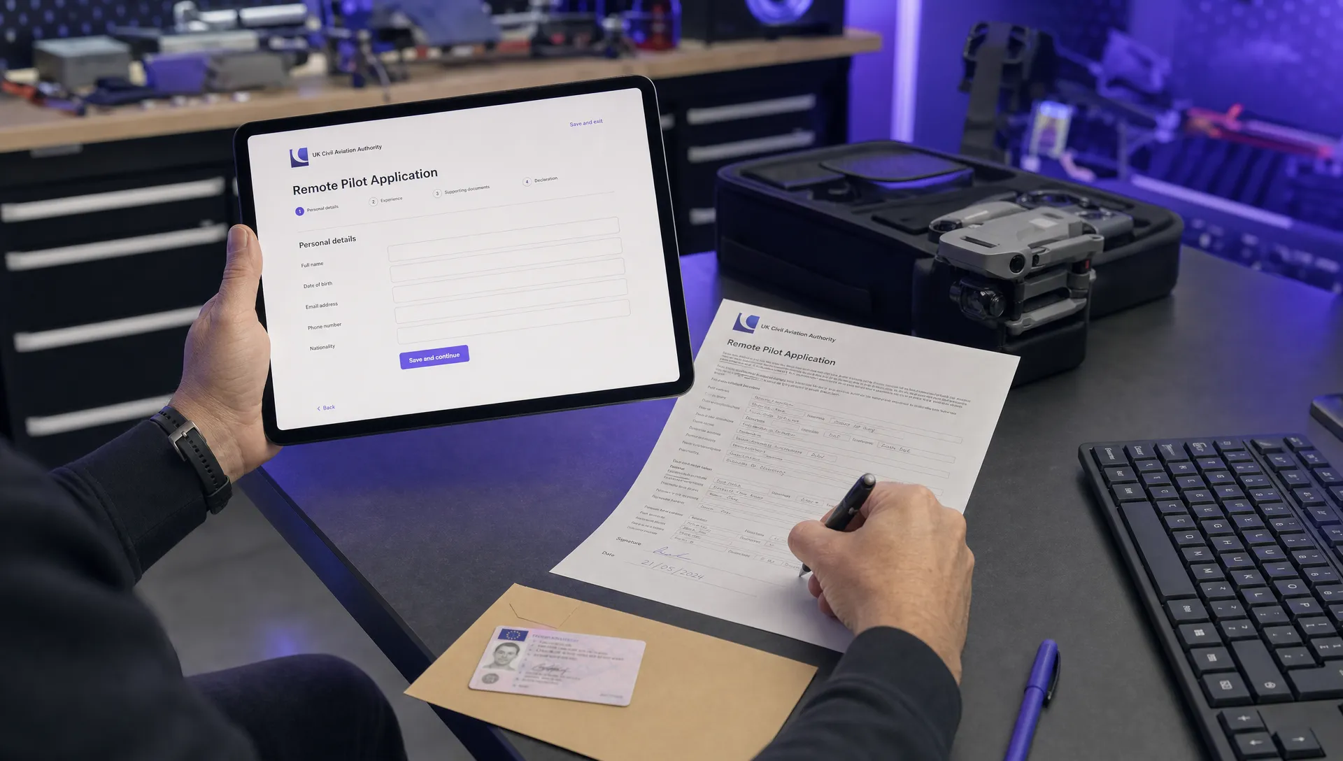 FAA 107 License vs Part 107 Certificate: What’s the Difference? →
 Drone Airport Rules: A Field Checklist for Site Assessments →
 FAA Part 107 Record-Keeping Rules for Commercial Teams →
 How to Review a DJI Flight Log After an Unexpected Event →