
Drone Airport Rules: A Field Checklist for Site Assessments
Applying drone airport rules can look simple on a map, but a safe site assessment needs more than drawing a circle around the nearest runway. For commercial operators, survey companies, utilities and emergency services, the real job is to prove that the planned operating area, contingency area and recovery options are compatible with nearby aviation activity before anyone powers up an aircraft.
Use this checklist as a field guide, not as legal advice. Airport restrictions, controlled airspace boundaries and local procedures can change, so always verify the current position against the relevant official source, the airspace data you use operationally and any conditions attached to your authorisation.
How to apply drone airport rules during a site assessment
A good airport site assessment answers three questions: where exactly will the aircraft fly, who else uses the airspace nearby and what will the crew do if the operation stops being normal? That means looking beyond the take-off point. You need to assess the operating volume, route to and from the work area, possible flyaway direction, emergency landing areas and any people or property that could be affected.
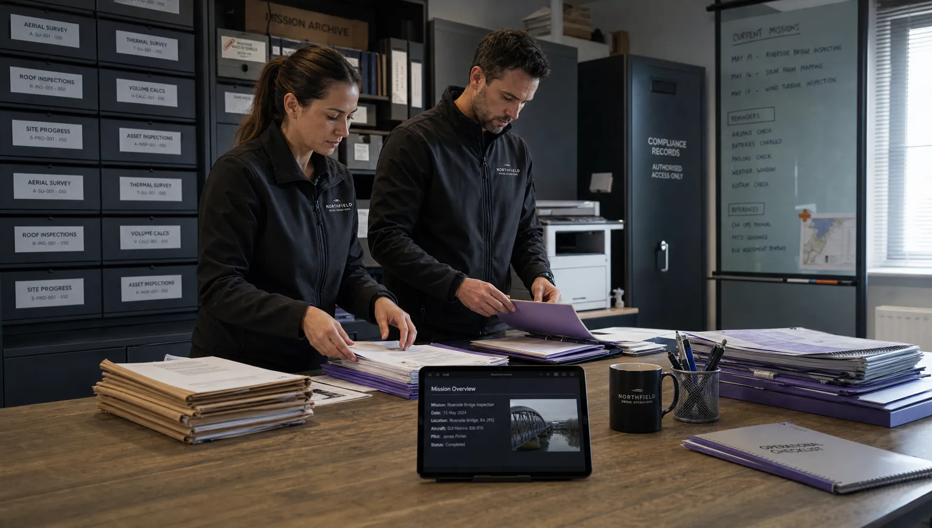
The strongest assessments are evidence-led. Record what you checked, where the information came from, who you contacted, what decision you made and what limits the crew must observe. If a regulator, client or airport asks how you reached your decision, your site pack should tell the story without relying on memory.
Start with official aviation sources
For teams working across regions, drone airport rules should be recorded by jurisdiction, not copied from a generic company template. The terms may sound similar, but the authorising body, map source and operating conditions can differ significantly between the UK, the EU and the United States.
| Region | Official source to check | Site assessment implication |
|---|---|---|
| United Kingdom | CAA drone guidance | Check airspace status, aerodrome Flight Restriction Zones and any requirement to obtain permission from air traffic control or the aerodrome operator. |
| United States | FAA Part 107 summary | Under Part 107, operations in controlled airspace need FAA authorisation, commonly through LAANC where available or through FAA DroneZone. |
| European Union | EASA drone regulatory overview | Check the relevant Member State’s UAS geographical zones, controlled airspace conditions and any national procedures for flights near aerodromes. |
Do not rely on a single app screenshot if the site is sensitive. Cross-check the airspace layer, aerodrome information, NOTAMs where applicable and any local airport procedure that your authorisation requires you to follow.
Build a pre-visit site pack
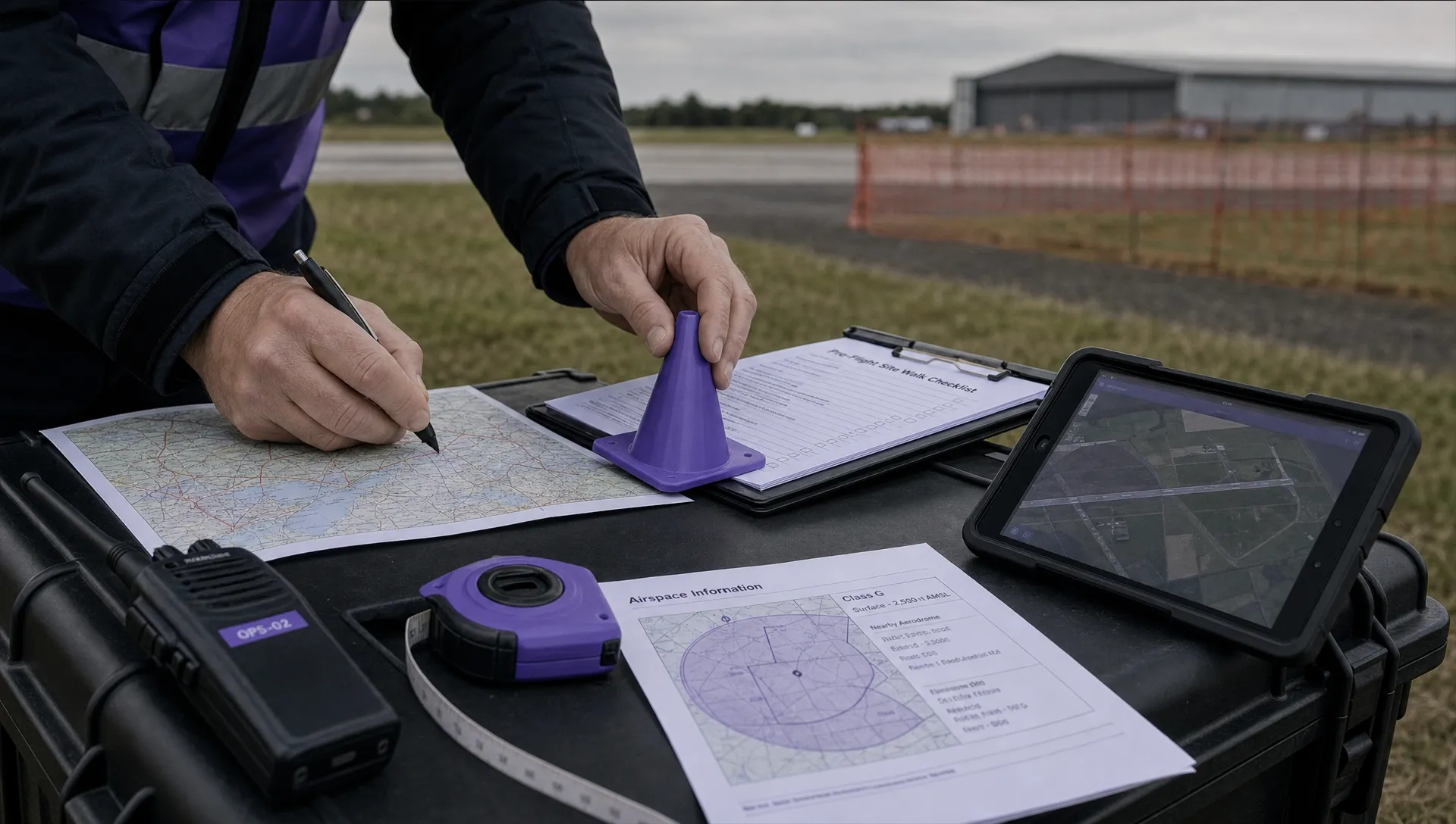
Before travelling, prepare a short pack that the crew can validate on arrival. This keeps the field visit focused and reduces the chance of discovering a major restriction after people and equipment are already on site.
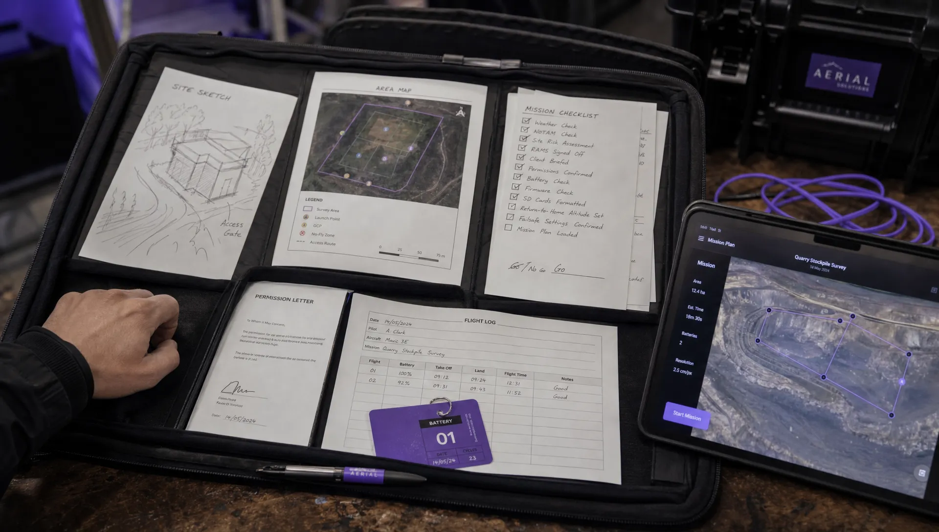
A useful pre-visit pack normally includes:
- The proposed take-off and landing point, mapped with coordinates
- The maximum planned altitude and operating radius
- Nearby aerodromes, heliports, hospital helipads and private strips where relevant
- Controlled airspace boundaries and any UAS geographical zones
- Contact details for required airport, ATC or site stakeholders
- Draft emergency procedures, including lost link and forced landing options
- Evidence of client permission or landowner access where needed
This pack is not the assessment itself. Treat it as a hypothesis that the remote pilot and observer, if used, must confirm against the real site.
Assess the airspace, not just the distance to the runway
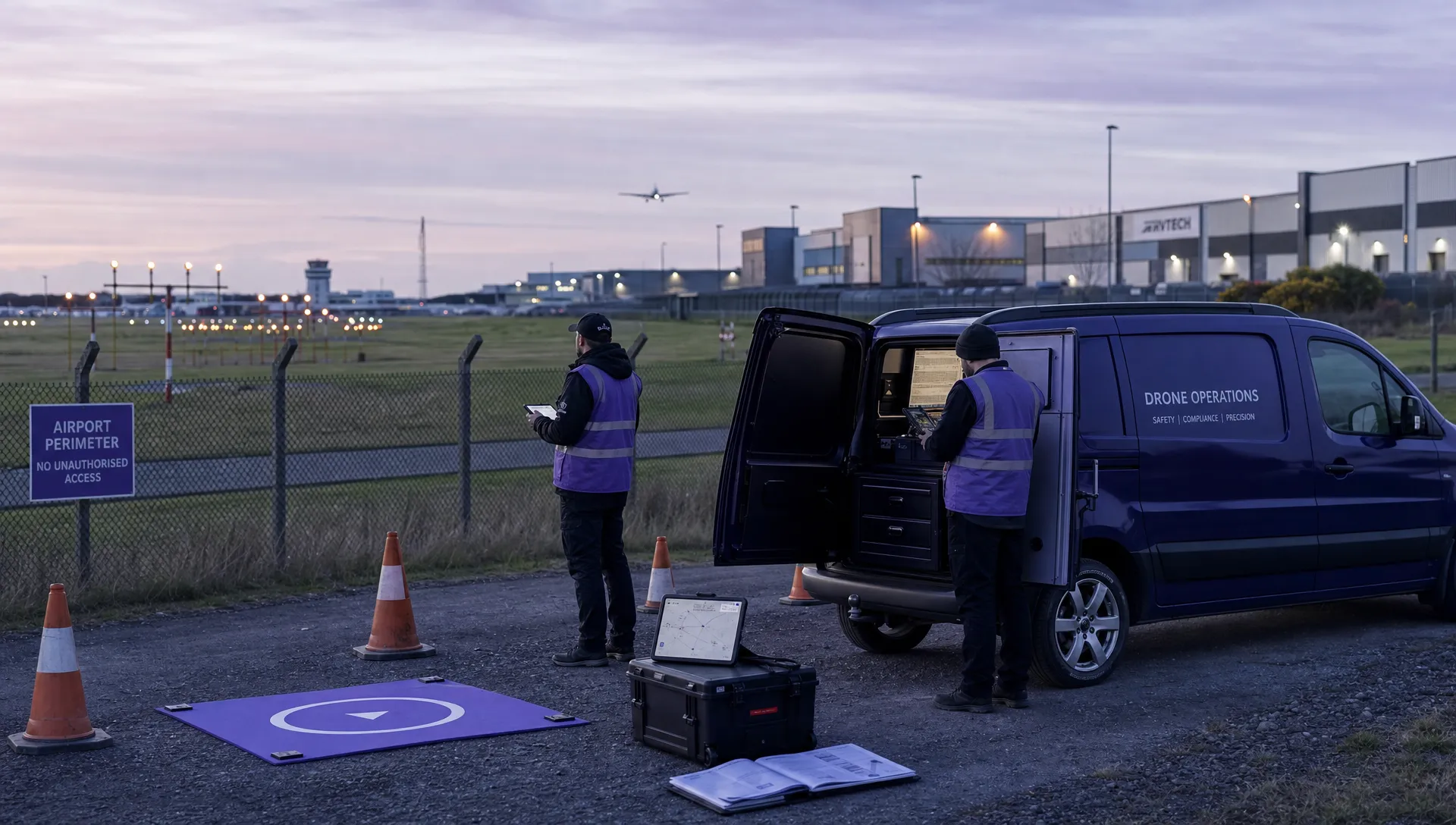
On site, drone airport rules should be checked against the actual operating volume, not just the nearest point on a runway. A small job beside a hangar, a survey underneath an approach path and an inspection near a hospital helicopter route can all present different risk profiles even if the map distance looks similar.
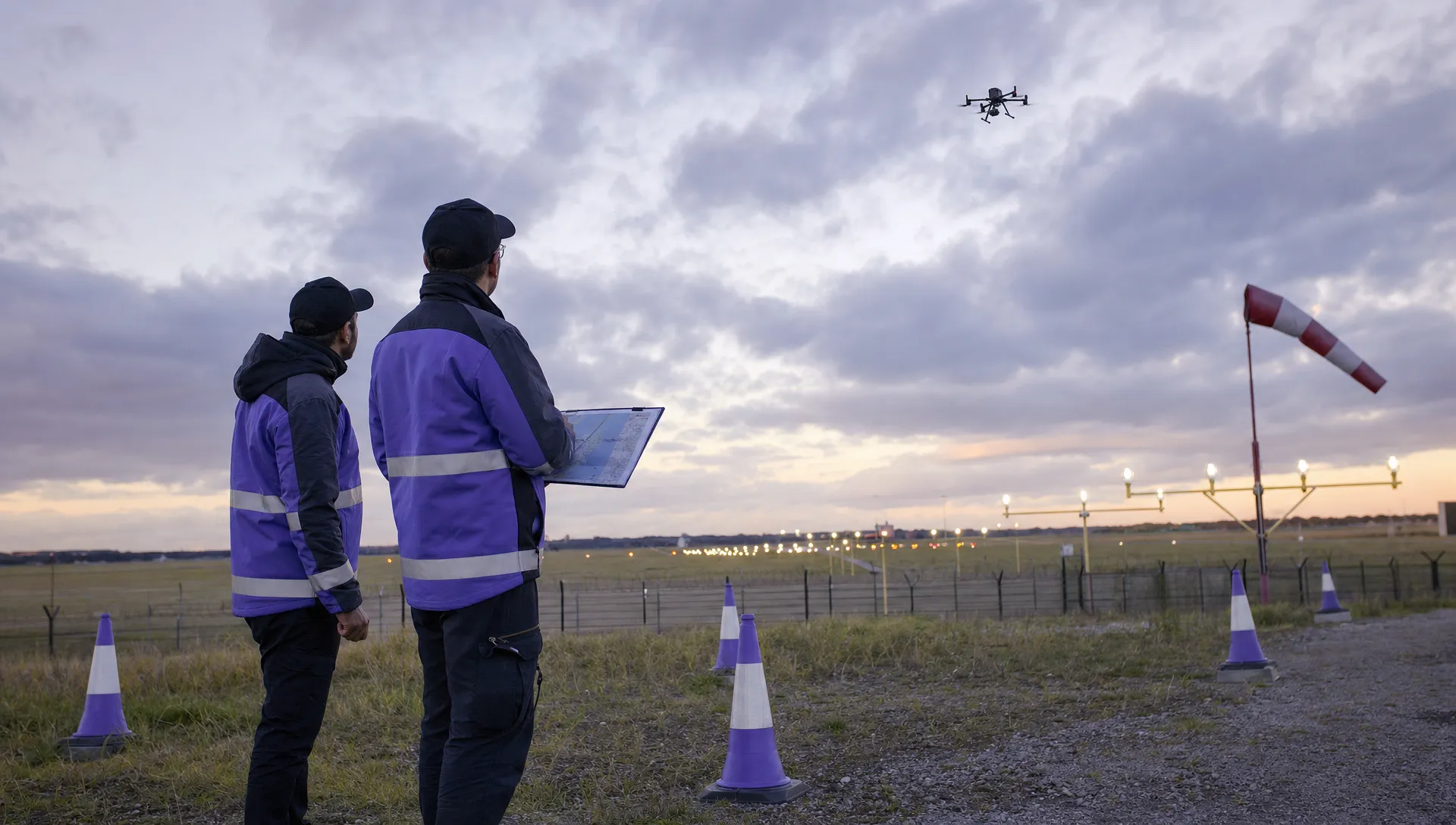
Look for visual cues that may not be obvious from the desk: approach lights, windsocks, aircraft noise patterns, helicopter landing sites, model aircraft activity, cranes, temporary masts and emergency service movements. If the airport is active, note runway direction in use if you can determine it lawfully and safely, but do not attempt to infer clearance from observation alone.
Distance is a trigger for further investigation, not a permission decision. In the UK, for example, aerodrome Flight Restriction Zones are defined in law and CAA guidance should be checked for the current detail. In the US, controlled airspace authorisation is a separate requirement under FAA rules. In EASA Member States, UAS geographical zones may add local conditions around aerodromes.
Field checklist for airport-adjacent sites
Use drone airport rules as one part of a wider safety assessment. The table below is designed for the field, where the crew needs clear prompts and evidence that can be captured quickly.
| Checkpoint | What to verify on site | Evidence to keep |
|---|---|---|
| Site position | Confirm the take-off point, landing point and work area match the desktop coordinates. | Map pin, coordinates and timestamped site photo. |
| Airspace boundary | Confirm whether the operation enters controlled airspace, an aerodrome zone or a published UAS geographical zone. | Airspace screenshot or system record showing date and source. |
| Airport activity | Identify visible aircraft activity, approach paths, helipads and signs of local aviation use. | Notes, photos where lawful and observer comments. |
| Operating volume | Confirm the planned altitude, lateral limits and buffer from runways, taxiways, people and property. | Marked map or flight planning record. |
| Emergency options | Identify safe landing or termination areas that do not create greater risk to aviation or the public. | Annotated site sketch and emergency brief. |
| Communications | Confirm who must be contactable before and during the flight, if required by permission or procedure. | Contact log, approval reference and call times. |
| Stop criteria | Define when the crew will pause or cancel, such as unexpected aircraft activity, loss of comms or weather change. | Crew briefing record and checklist sign-off. |
Confirm who needs to be contacted
A common failure point in applying drone airport rules is assuming that one approval covers every stakeholder. Depending on the location and jurisdiction, you may need to deal with an air traffic control unit, airport operations, an aerodrome operator, the landowner, the client, a local authority or an emergency control room.
The site assessment should record who is responsible for each contact and when it must happen. If an airport requires a phone call immediately before launch, write that into the task briefing. If an authorisation states a maximum altitude, operating window or communication condition, put that limit somewhere the pilot will see during the job, not only in an email attachment.
For emergency services, the same discipline matters even when operations are time critical. Pre-agreed procedures, standing permissions and clear command structures can help, but the field crew still needs to confirm that the live situation matches the conditions under which they are allowed to operate.
Feed the findings into the risk assessment
The field assessment should not sit in a separate folder from the operational risk assessment. If drone airport rules introduce a new hazard, such as proximity to an approach path or a need for live ATC coordination, the risk controls must be visible in the risk assessment and crew briefing.
For complex or higher-risk operations, especially those requiring an operational authorisation, structured methodologies may be relevant. JARUS publishes the SORA documentation and the UK CAA maintains material for UK SORA.htm). Use the current version that applies to your operation and jurisdiction.
If your team is improving its process, Dronedesk’s guide on building a drone flight risk assessment that works is a useful companion to this field checklist. The key principle is simple: every site finding that changes the operational risk should either change the plan, add a control or stop the job.
Document the decision and keep it easy to audit
After the site visit, drone airport rules should be reflected in the final flight plan, risk assessment, checklist and operational notes. The decision should be clear enough that another competent person can understand why the flight was approved, delayed, changed or cancelled.
Dronedesk supports this type of record keeping through features such as flight planning, airspace intelligence, proximity intelligence, configurable checklists, risk assessments, fleet management, team management, client management, flight logging and data reporting. You can review the platform’s current capabilities on the Dronedesk features page.
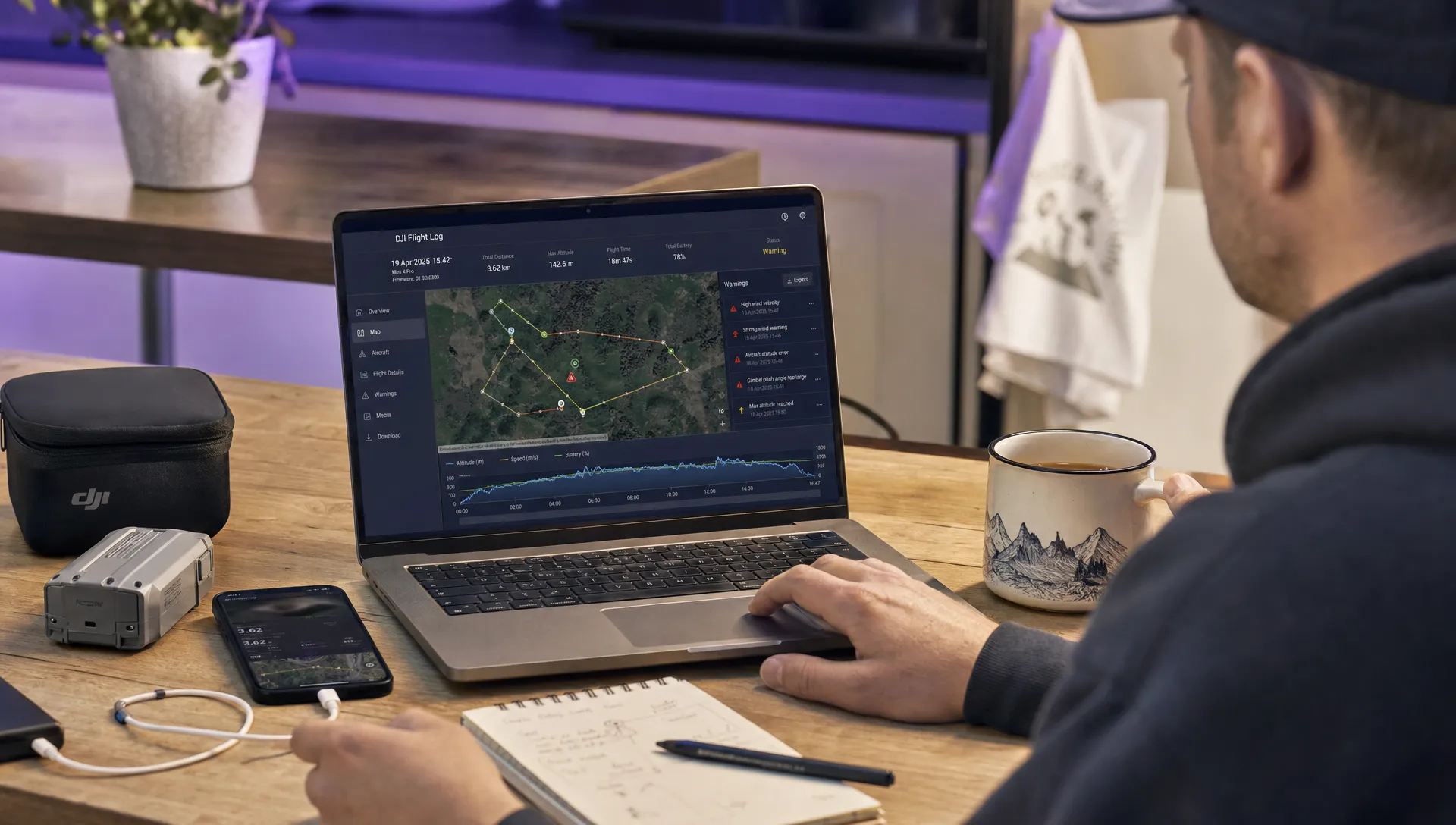
For DJI missions where post-flight review is part of your process, the DJI flight log analysis tool can help you inspect flight records after the operation. That does not replace pre-flight authorisation or site assessment, but it can support a more complete operational record.
Frequently asked questions
Can I fly near an airport if I stay below 120 metres or 400 feet? Not necessarily. Your drone airport rules check must consider controlled airspace, aerodrome zones, UAS geographical zones, local permissions and any conditions attached to your authorisation. Altitude alone does not make an airport-adjacent flight lawful or safe.
Is distance from the airport enough to decide whether a site is acceptable? No. Distance is only one factor. You also need to consider approach and departure paths, helicopter activity, controlled airspace, temporary restrictions, emergency landing options and communication requirements.
Who gives permission for a drone flight near an airport? It depends on the country, airspace and exact location. In some cases it may involve the FAA, an air traffic control unit, an aerodrome operator, airport operations or another designated authority. Check the official source for the jurisdiction before committing to the flight.
Should airport checks be repeated for repeat client sites? Yes. A repeat site can still be affected by temporary restrictions, airport procedure changes, construction hazards, crane activity or different runway use. Revalidate the critical checks before each operation.
Make airport site assessments easier to evidence
Airport-adjacent work rewards disciplined preparation. A practical field checklist helps your crew move from “the map looks fine” to a documented decision based on airspace, stakeholders, hazards and operational controls.
If your team wants to standardise that workflow, Dronedesk brings the core planning, checklist, risk assessment and operational management tools into one platform for drone operators who need clear evidence and repeatable processes.
 FAA 107 License vs Part 107 Certificate: What’s the Difference? →
 Drone Airport Rules: A Field Checklist for Site Assessments →
 FAA Part 107 Record-Keeping Rules for Commercial Teams →
 How to Review a DJI Flight Log After an Unexpected Event →
 Drone Laws Around the World: A Pre-Flight Research Framework →
 How to Compare Drone Survey Services for Complex Sites →
 How to Start a Drone Mapping Business With a Clear Workflow →
 Class C Airspace Drone Rules for Commercial Flights →
 How to Create a Drone Job Pack for Every Mission →
 FAA Small UAS Rule: Key Requirements for Operators →