
Drone Near Airport Rules Explained for Safer Planning
For a drone operator, flying close to an airport is never just a map check. It is a legal, operational and safety decision that has to account for controlled airspace, low-level aircraft, local airport procedures, temporary restrictions and the practical realities of the job.
The most important starting point is simple: in the UK, you must not fly inside an airport Flight Restriction Zone, commonly shortened to FRZ, unless you have the correct permission. That rule applies whether the mission is a paid survey, a utility inspection, a police or fire service deployment, or a short flight with a sub-250g drone.
The safer question is not how close can I get to the airport. It is: what zone am I in, who can authorise the flight, what could enter my operating area, and what controls prove the mission can be conducted safely?
What near an airport means in drone planning
Airport-adjacent planning starts by separating three ideas that are often confused: legal restriction, airspace complexity and operational risk.
A legal restriction is the hard boundary. If your planned flight falls inside a protected aerodrome FRZ, you need permission before flying. The CAA Drone and Model Aircraft Code makes this clear and should be treated as the baseline reference for UK drone operations.
Airspace complexity is broader. A site can sit outside the FRZ but still be close to arrival and departure routes, within controlled airspace, near a heliport, under a temporary restriction, or close to a sensitive facility. In those cases the flight may be legal in principle, but still require careful planning, a stronger risk assessment and sometimes additional coordination.
Operational risk is the real-world picture on the day. Airports generate unpredictable low-level traffic: helicopters, training aircraft, emergency service aircraft, business aviation, maintenance flights and aircraft using non-standard routings. A flight that looks straightforward on a planning map can become unsafe if the pilot has poor lookout, weak communications, no abort point, or an unrealistic flight area.
| Planning situation | What it usually means | Safer planning response |
|---|---|---|
| Inside an airport FRZ | Permission is required before flight | Contact the correct aerodrome authority and keep written evidence of approval |
| Outside the FRZ but close to approach or departure paths | The flight may still interact with low-level traffic | Reduce height where possible, use observers if appropriate and define immediate landing triggers |
| In controlled airspace but outside the FRZ | Controlled airspace alone is not always a ban for compliant low-level drone flight | Check current CAA guidance, local restrictions and the exact operating area |
| Near a hospital helipad, police base or private airstrip | There may be no standard airport FRZ, but aircraft risk can be high | Identify likely traffic, consider direct coordination and strengthen the risk assessment |
| During an event, incident or security operation | A temporary restriction may override normal assumptions | Check NOTAMs and official updates before launch |
The core drone near airport rule in the UK
The core drone near airport rule is that you must not fly within the Flight Restriction Zone of a protected aerodrome without permission. This applies to all drones and model aircraft, including those below 250g. Being a competent remote pilot, having an Operational Authorisation, or having landowner permission does not automatically authorise FRZ entry.
A UK airport FRZ is not just a simple circle around a runway. The exact shape depends on the aerodrome, but it commonly combines an Aerodrome Traffic Zone, runway protection zones and an additional boundary around the aerodrome. That means the restricted area can extend well beyond the fence line, especially in the direction of runway approaches and departures.
The CAA explains airspace restrictions for unmanned aircraft on its airspace and restrictions guidance. Before relying on any single app view, check the current authoritative data for the site and date of operation.
| FRZ element | Typical purpose | What it means for drone operators |
|---|---|---|
| Aerodrome Traffic Zone | Protects aircraft operating close to the aerodrome | If your drone flight falls within this zone, permission is required |
| Runway protection zones | Extend from runway ends to protect approach and departure areas | A site several kilometres from the terminal can still be inside the FRZ |
| Aerodrome boundary extension | Captures areas around the airport boundary | Flights near hangars, maintenance areas or perimeter land may still need permission |
Permission usually comes from the airport air traffic control unit, flight information service unit, air-ground radio operator, or aerodrome operator, depending on the aerodrome and its procedures. Larger airports may require an online application or a non-standard flight request. Some airports publish dedicated drone application processes, notice periods and documentation requirements.
If permission is granted, read the conditions carefully. Approval may be limited by time, height, location, weather, communication requirements, pilot competency, aircraft type, observer use or the airport operating schedule. A permission is not a general licence to fly wherever you like inside the FRZ.
Outside the FRZ is not automatically low risk
A common planning mistake is assuming that once the drone icon is outside a red airport zone, the job is routine. That is not a safe assumption.
Aircraft do not only fly inside FRZ boundaries. Training aircraft, helicopters and emergency service aircraft can operate at low level away from a runway. Helicopters may approach hospitals, temporary landing sites, police facilities, offshore support locations or private estates. Utility companies and survey teams often work near industrial sites, rail corridors, coastlines and infrastructure that attract low-level aviation activity.
You also need to check for overlapping restrictions. These may include temporary restricted areas, danger areas, prohibited areas, military activity, prisons, major events, emergency incidents and local security restrictions. NOTAMs are particularly important because they can introduce short-term airspace changes that are not obvious from a static map.
For commercial operators, the airport rule should sit inside a wider risk assessment, not outside it. If the task is near air traffic, the risk assessment should consider airspace, people on the ground, nearby roads, radio or phone coverage, terrain, emergency landing options, client site hazards and the experience level of the remote pilot. Dronedesk has a dedicated guide on how to build a drone flight risk assessment that works if you want a more structured approach.
A safer workflow for planning airport-adjacent drone flights
The best operators treat airport-adjacent flights as a workflow, not a last-minute permission check. That workflow should start before quoting the job, because airport coordination can affect cost, timing and feasibility.
| Planning stage | What to confirm | Evidence to keep |
|---|---|---|
| Initial enquiry | Exact site location, required height, date window and deliverables | Client brief, map extract and proposed operating area |
| Airspace review | FRZ status, controlled airspace, NOTAMs, nearby heliports and other restrictions | Airspace screenshots or exported planning records with date and time |
| Permission decision | Whether airport, ATC or another authority approval is required | Application, correspondence and approval conditions |
| Risk assessment | Aircraft conflict risk, ground risk, privacy, security and emergency procedures | Signed risk assessment and method statement |
| Crew briefing | Roles, boundaries, lost link actions, abort triggers and communication plan | Briefing record or checklist completion |
| Post-flight record | Actual flight time, location, incidents and deviations from plan | Flight log, notes and any required report to the client or authority |
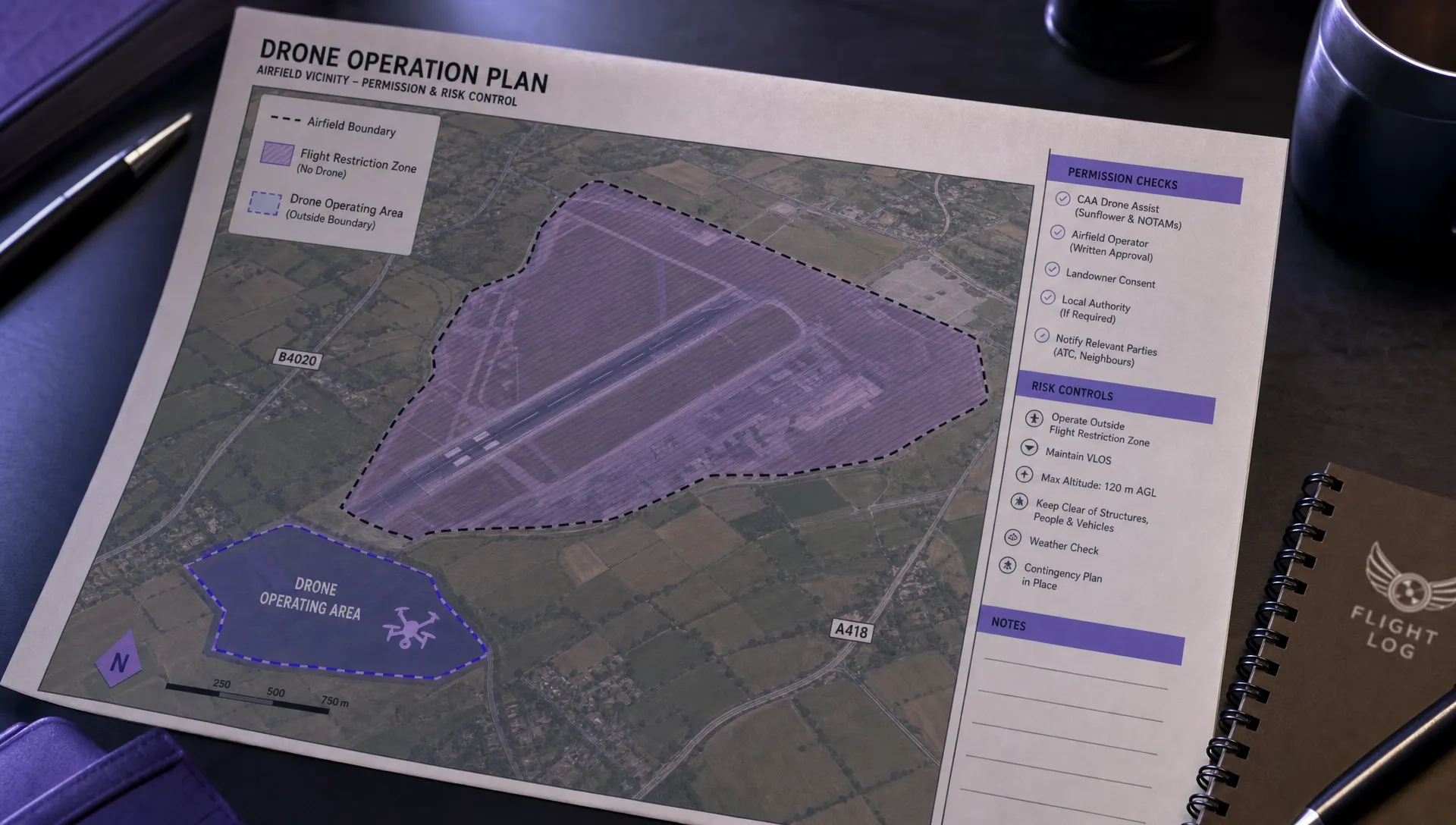
This workflow matters because permissions are often conditional. For example, an airport may approve a flight only below a certain height, within a precise time window, with a named pilot and with a requirement to telephone before launch and after landing. If those conditions are not carried into the site briefing and flight log, the operation can drift away from the approval that made it lawful in the first place.
What to include in an airport permission request
Airports and air traffic teams need enough information to understand the risk your drone creates. A vague request is more likely to be delayed, queried or rejected.
A strong permission request normally includes:
- Operator name, CAA registration details and a named point of contact.
- Remote pilot details, competency and relevant operational authorisation if applicable.
- Aircraft type, weight, registration or fleet identifier and fail-safe behaviour.
- Exact operating area shown on a map, with coordinates where helpful.
- Maximum requested height, planned flight duration and time window.
- Purpose of the flight, such as roof survey, emergency assessment, utility inspection or mapping.
- Control measures, including observers, communications, geofencing, cordons and emergency landing areas.
- Confirmation of how the crew will contact the airport before, during and after the flight if required.
Do not assume the airport will redesign your plan for you. Submit a plan that is already operationally realistic. If you only need 40 metres to complete a roof inspection, do not request 120 metres by default. If the work can be completed from outside the FRZ, make that part of the plan. Lower height, smaller area and shorter duration can all reduce coordination burden when they still meet the mission objective.
Practical risk controls when flying close to airport activity
Risk controls should be proportionate to the mission. A small roof inspection outside an FRZ may not need the same controls as a linear infrastructure inspection that runs parallel to an approach path. Still, certain controls are common in safer airport-adjacent operations.
| Risk | Practical control |
|---|---|
| Crewed aircraft enters the area | Maintain visual lookout, brief immediate descent or landing actions and use observers when the workload justifies it |
| Pilot loses orientation near complex airspace | Use a clearly defined operating box, map references and pre-briefed boundaries |
| Permission conditions are misunderstood | Convert approval conditions into the site checklist and pilot briefing |
| Client pressures the crew to extend the flight | Set the authorised area, time and height in writing before arrival |
| Emergency landing area is unsuitable | Identify primary and secondary landing areas before take-off |
| Multiple pilots or aircraft are involved | Assign one person to operational control and document handover points |
The most important in-flight rule is to give way to crewed aircraft. If an aircraft is nearby and there is any doubt about separation, descend or land immediately. Continuing the shot, finishing the mapping line, or saving a few minutes of battery is never worth a conflict with crewed aviation.
For repeat work near airports, such as utility inspections, construction monitoring or estate surveys, create a standard local operating pack. This can include airport contacts, pre-approved map templates, known hazards, preferred take-off locations, local emergency landing sites and previous permission conditions. Review it regularly, because airport procedures and airspace restrictions can change.
Special considerations for survey, utility and emergency teams
Survey companies often encounter airport rules when a client site sits on an industrial estate near a runway or below an approach path. The client may not realise that a simple aerial survey needs aviation coordination. Build that possibility into the quotation stage, and avoid promising a date until the airspace position is confirmed.
Utility companies face a different challenge: linear assets. A power line, pipeline, rail corridor or waterway can pass in and out of different airspace environments across a single job. In those cases, divide the project into segments. Some sections may be outside the FRZ and straightforward, while others require airport permission, additional observers or a different method of capture.
Emergency services may have urgent operational needs, but urgency does not remove the need to manage airspace risk. Where possible, emergency service drone teams should establish coordination routes with local airports before an incident happens. Pre-planned contacts, agreed terminology and clear escalation paths are far safer than trying to solve airport access during a live deployment.
For organisations managing multiple aircraft and pilots, airport-adjacent work also becomes a fleet management issue. You need to know which aircraft is assigned, whether it is serviceable, which pilot is current, what permissions apply and where the records are stored. Dronedesk covers this wider operational challenge in its drone fleet management guide.
How Dronedesk supports safer airport-adjacent planning
Airport rules create paperwork as well as operational decisions. A safe plan needs client details, site data, airspace checks, proximity checks, risk assessments, checklists, team information, fleet records and flight logs to stay connected.
Dronedesk is built as an all-in-one web platform for drone operations management, bringing together features such as client management, fleet management, team management, airspace intelligence, proximity intelligence, flight planning, configurable checklists, risk assessments, flight logging and data reporting. You can review the current capabilities on the Dronedesk features page.
The key benefit for airport-adjacent work is consistency. Instead of leaving permission emails in one inbox, risk assessments in another folder and flight logs in a spreadsheet, operators can keep the planning and evidence around a mission in one operational workflow. That does not replace the pilot’s legal responsibilities, but it helps reduce the chance that a critical airport condition is missed during planning or briefing.
Frequently Asked Questions
Can I fly a drone near an airport in the UK? Yes, but only if the flight is outside restricted areas or you have the required permission. If the flight is inside an airport Flight Restriction Zone, you must get permission from the appropriate aerodrome authority before flying.
Do drone near airport rules apply to drones under 250g? Yes. The FRZ restriction applies to all drones and model aircraft, including sub-250g drones. A lighter drone may have different rules around people, but it does not give you automatic permission to fly inside an airport FRZ.
How far from an airport can I legally fly a drone? There is no single distance that covers every airport. In the UK, you need to check the exact FRZ shape for the aerodrome, plus any other restrictions affecting the site. Some runway protection zones extend several kilometres from runway ends.
Who gives permission to fly a drone inside an airport FRZ? Permission usually comes from the airport air traffic control unit, flight information service unit, air-ground radio operator, or aerodrome operator, depending on the aerodrome. Always follow the specific process published by the airport.
Does an Operational Authorisation allow me to fly inside an FRZ? Not by itself. An Operational Authorisation may allow certain higher-risk drone operations, but it does not automatically grant permission to enter an airport Flight Restriction Zone. FRZ approval is a separate requirement.
What should I do if I see or hear an aircraft while flying near an airport? Give way immediately. If there is any uncertainty about separation, descend or land as soon as it is safe to do so. Crewed aircraft always take priority.
Plan airport-adjacent drone work with fewer loose ends
Drone near airport rules are manageable when they are treated as part of a disciplined planning process. Confirm the airspace, secure the right permission, brief the crew, document the conditions and log what actually happened.
If your team regularly plans flights near airports, heliports, utilities or complex sites, Dronedesk can help you keep flight planning, risk assessments, checklists, fleet records and flight logs connected in one place, so safer planning becomes part of every mission rather than a last-minute scramble.
 Drone Risk Assessment Controls That Work in the Field →
 FAA Drone License Costs Beyond the Knowledge Test →
 Drone Part 107 Operations: When a Waiver May Be Needed →
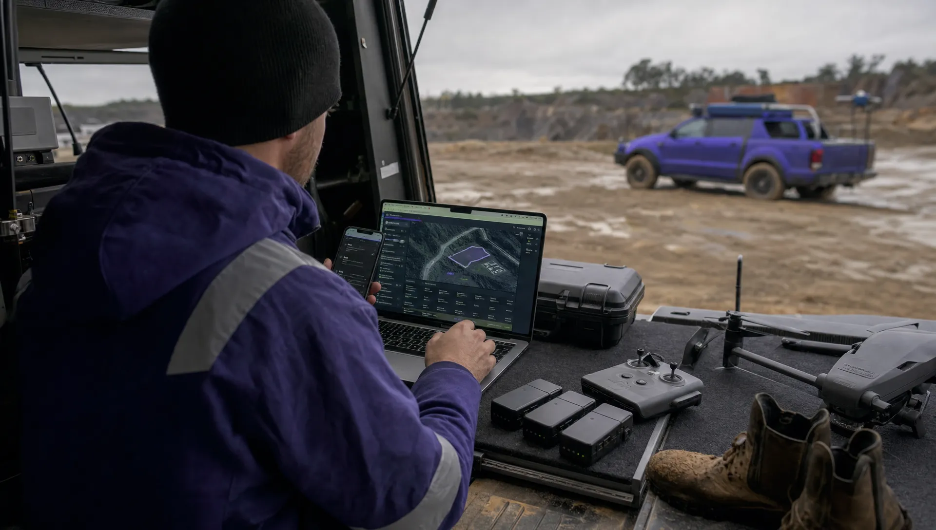 Drone Operating Rules for Managing Contractors and Employees →
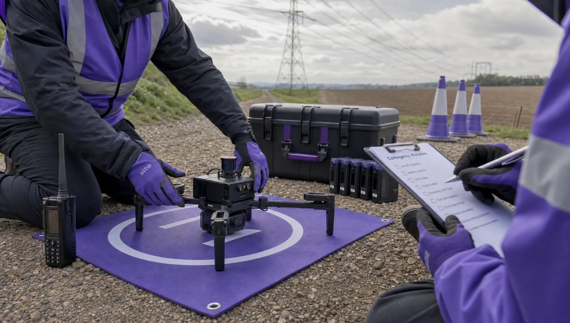 BVLOS Drone Requirements for Building a Safety Case →
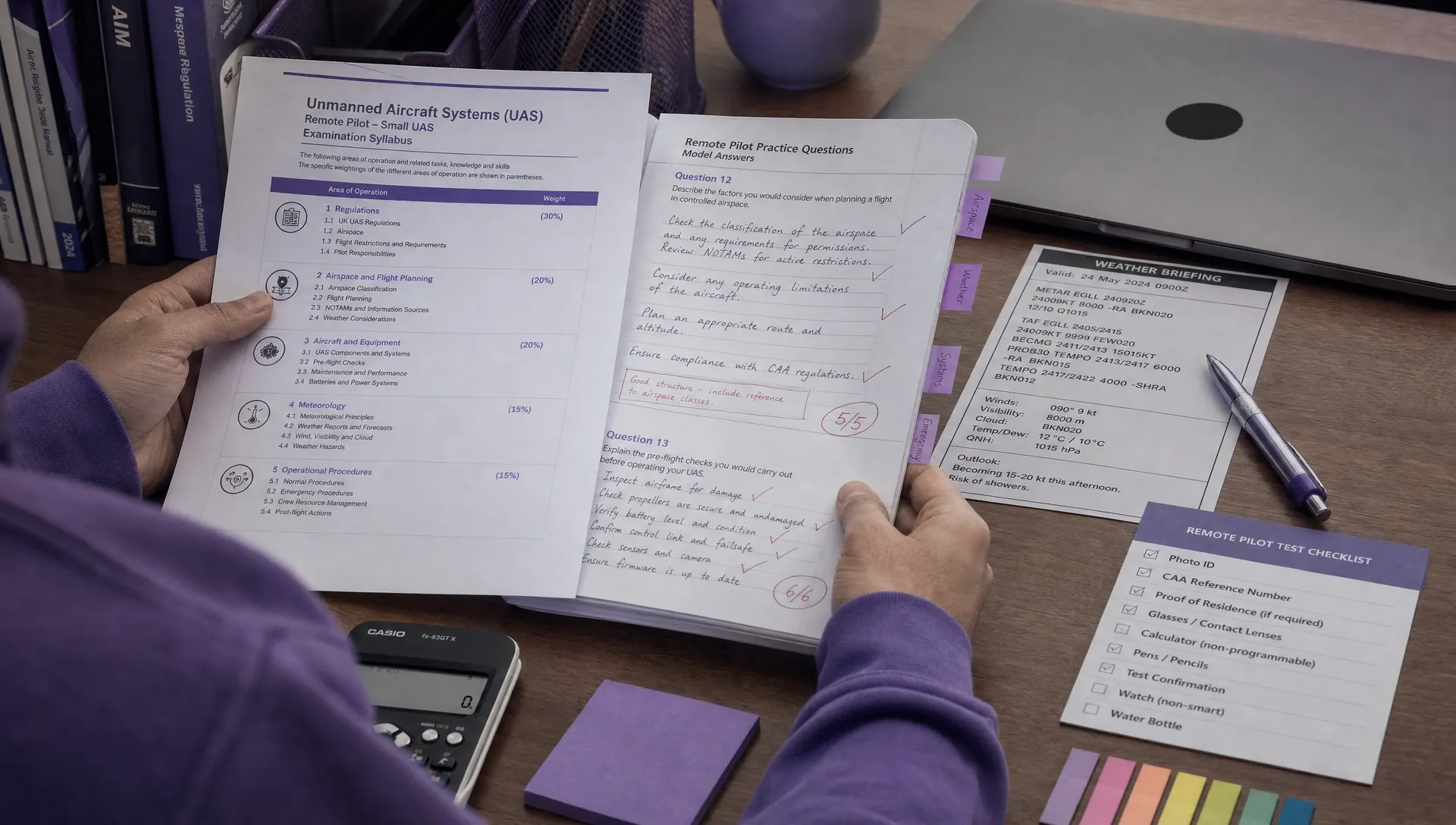 Drone Pilot Test Mistakes That Cost Candidates Marks →
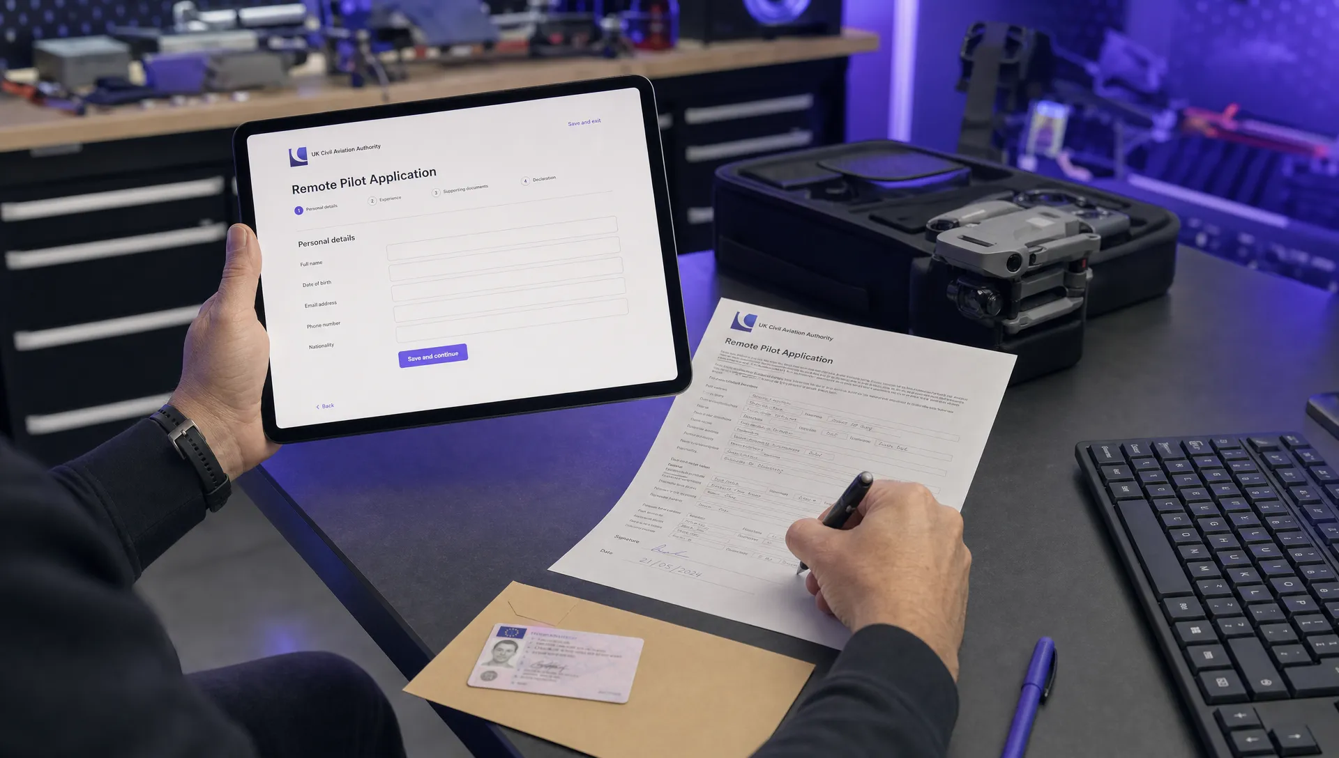 FAA 107 License vs Part 107 Certificate: What’s the Difference? →
 Drone Airport Rules: A Field Checklist for Site Assessments →
 FAA Part 107 Record-Keeping Rules for Commercial Teams →
 How to Review a DJI Flight Log After an Unexpected Event →