
Airport Drone Rules: How to Plan Flights Without Surprises
Airport drone rules are easiest to manage when you stop treating an airport as a dot on a map. For a drone operator, survey company, utility inspection team or emergency service unit, the real planning question is not simply whether the site is close to the terminal. It is whether the intended operation could conflict with crewed aviation, controlled airspace, a protected zone or a temporary restriction at the time you intend to fly.
That distinction matters. A job can look simple on the client brief, such as a roof survey, substation inspection, mapping task or incident response, then become complicated once you check approach paths, heli routes, NOTAMs, local permissions and the conditions attached to your operational authorisation.
This guide is not legal advice and it does not replace your regulator, aerodrome authority or operations manual. It gives you a practical workflow for planning flights near airports without last minute surprises.
What Counts as an Airport Risk?
An airport risk is not limited to the perimeter fence. Drone restrictions can apply around civil airports, military airfields, licensed aerodromes, hospital heliports, emergency service bases, gliding sites and temporary aviation activity. The names and legal mechanisms differ by country, but the planning principle is consistent: if crewed aircraft may be operating at low level, or if the airspace is controlled or restricted, your drone flight needs extra scrutiny.
In the UK, the Civil Aviation Authority Drone and Model Aircraft Code makes clear that you must not fly in an airport Flight Restriction Zone unless you have permission. In the United States, the FAA uses mechanisms such as controlled airspace authorisations and LAANC for many near-airport drone operations. In EASA member states, National Aviation Authorities publish UAS geographical zones, with EASA directing operators to national sources because local implementation varies.
The details change by jurisdiction, but a good planning process should always distinguish between these concepts.
| Concept | What it means for planning | Surprise it helps prevent |
|---|---|---|
| Aerodrome or airport | A place where aircraft operate, which may include small airfields as well as major airports | Missing a low traffic but legally protected site |
| Controlled airspace | Airspace where air traffic control services apply | Assuming a low altitude drone flight is automatically allowed |
| Flight restriction or geographical zone | A defined area where drone flying may be prohibited, restricted or permission based | Arriving on site without the approval needed to launch |
| Approach and departure path | The areas aircraft use when arriving or leaving a runway | Underestimating risk several kilometres from the runway |
| NOTAM or temporary restriction | A time limited aviation notice or restriction | Planning from yesterday's map and missing today's change |
| Heliport or emergency landing site | A low level crewed aircraft operating area | Failing to account for helicopters that may not follow airline style routes |
For commercial teams, the most common mistake is relying on a single visual map check. Map layers are useful, but they should not be treated as the whole planning process. Airport drone rules often involve a mix of airspace, land access, site safety, client requirements, privacy, security and operational authorisations.
How Airport Drone Rules Differ by Region
A UK operator working near a protected aerodrome will not follow exactly the same approval route as a US Part 107 remote pilot using LAANC or an EU operator checking UAS geographical zones. If your organisation works across borders, do not copy procedures from one country into another without checking the legal basis.
The table below is a high level comparison, not a substitute for current official guidance.
| Region | Common near-airport trigger | Typical planning route | Key caution |
|---|---|---|---|
| UK | Flight Restriction Zones, controlled airspace, military or protected aerodromes | Check CAA guidance, official airspace data, NOTAMs and obtain required permission from the relevant authority | FRZ boundaries depend on the protected aerodrome and runway layout, so do not estimate from the terminal building |
| United States | Controlled airspace around airports, UAS facility map limits, temporary flight restrictions | Check FAA rules, B4UFLY resources, LAANC where available or DroneZone where needed | LAANC approval is not landowner permission and does not remove other operational duties |
| EASA states | UAS geographical zones, controlled airspace, local restrictions | Check the National Aviation Authority and national map or U-space service where applicable | Rules are not identical across EASA countries |
| Any jurisdiction | Temporary restrictions, emergency activity, security sites, special events | Re-check before flight, brief crew and document the decision trail | A permission obtained early in planning may not reflect conditions on the day |
This is why airport flight planning should be treated as a repeatable workflow rather than a quick yes or no check.
A Practical Workflow for Airport-Adjacent Flights
Define the Operation Precisely
Start with the exact operating volume, not just the client address. Record the take-off and landing point, maximum height, lateral boundaries, expected flight tracks, emergency landing options and time window. If the client asks for a roof inspection near an airport, a 15 metre hover in one courtyard creates a very different risk picture from a 120 metre mapping grid over a wider site.
For survey companies and utilities, this step should also identify whether the job is linear, static or multi-site. A rail, road, power line or pipeline inspection may pass near more than one aerodrome environment, even if each individual segment looks straightforward.
Screen Official Airspace and Local Sources
Next, check current airspace information using the official source of truth for the jurisdiction. Use your planning tools, but validate anything critical against official data, particularly for controlled airspace, restriction zones, NOTAMs and temporary flight restrictions.
A sensible pre-planning screen should answer these questions:
- Does the operating area intersect a Flight Restriction Zone, UAS geographical zone or controlled airspace?
- Is there an active NOTAM, temporary restriction, emergency restriction or special event nearby?
- Are there heliports, hospitals, police air support bases, military sites or gliding sites in the surrounding area?
- Are there published altitude limits or conditions for the exact grid square or zone?
- Is the site near infrastructure with its own security, safety or access rules?
Do not stop once you find one relevant rule. Near airports, restrictions can overlap. A utility inspection could involve airport proximity, controlled airspace, critical infrastructure security and landowner access conditions at the same time.
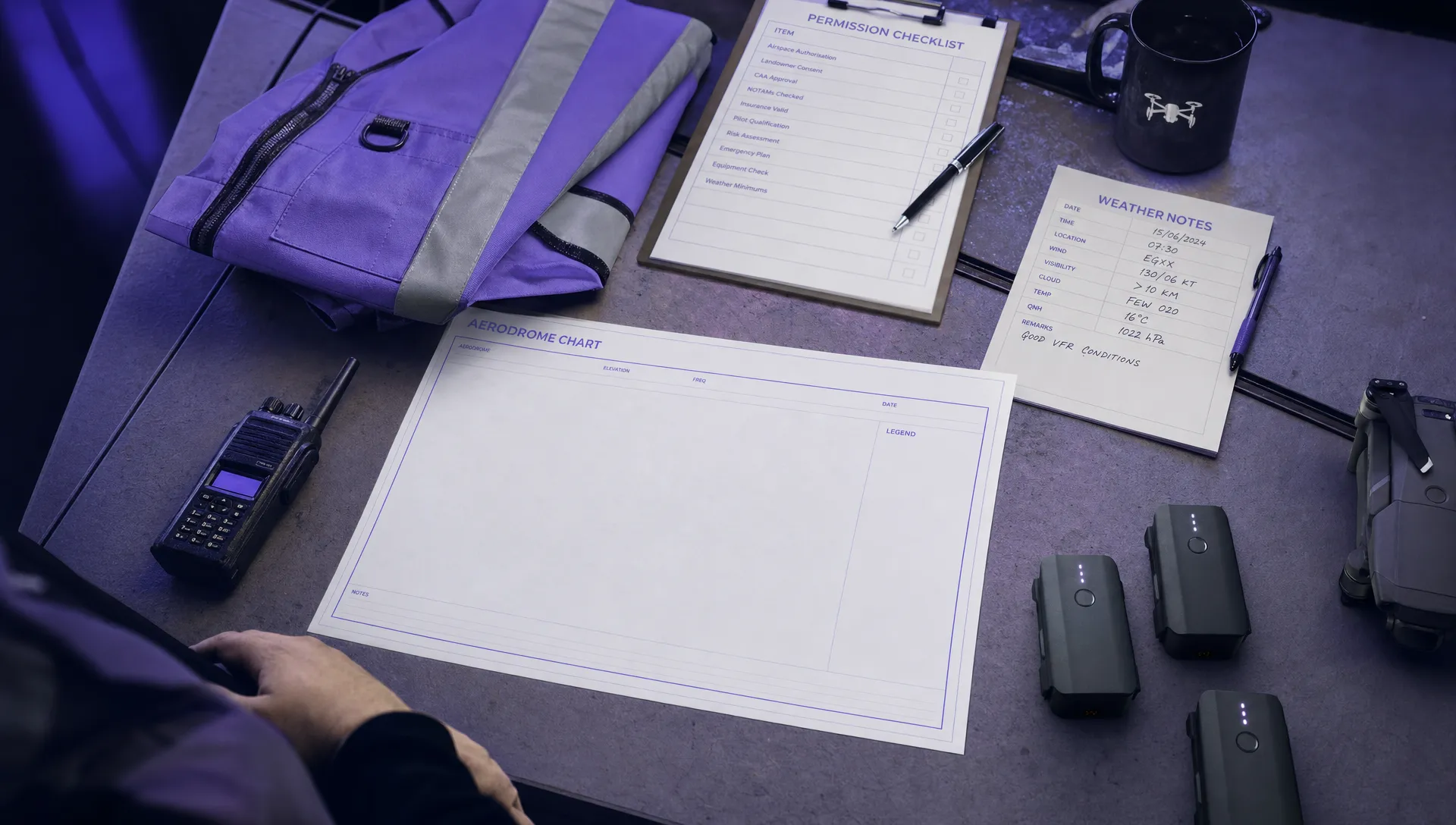
Build a Permission Matrix
Many near-airport surprises come from mixing up different forms of permission. Air traffic permission is not the same as landowner permission. Client approval is not the same as regulatory authorisation. A police notification may be helpful for a sensitive site, but it does not normally replace aviation approval.
Create a simple permission matrix for every airport-adjacent job.
| Permission or coordination point | Why it may be needed | Evidence to keep |
|---|---|---|
| Landowner or site operator | You need lawful and safe access to launch, recover and operate on site | Email approval, site permit, access instructions |
| Client or principal contractor | The work may need to align with site rules, inductions and safety plans | Work order, RAMS, site contact details |
| Aerodrome, ATC or flight information service | Required where local airport restrictions or procedures apply | Written permission, reference number, conditions |
| Aviation regulator or digital authorisation service | Required for controlled airspace, certain categories or specific operational approvals | Authorisation record, LAANC or equivalent approval |
| Local authority, police or event organiser | Relevant for public events, congested areas or sensitive locations | Notification record, event coordination notes |
| Infrastructure owner | Relevant for utilities, rail, energy, ports, prisons or security sensitive assets | Site authorisation, security conditions |
The matrix does not need to be complex. Its value is that it forces the planner to separate aviation, site and stakeholder approvals before anyone travels.
Design Mitigations Before Requesting Approval
When you ask an airport or air traffic service provider for permission, a vague request can slow the process down. A clear request shows the operating area, height, time window, aircraft type, pilot details, contact number and safety mitigations.
Useful mitigations near airports can include reduced maximum height, a smaller operating area, a dedicated visual observer, a direct phone contact with the aerodrome, a defined lost link procedure, geo-awareness checks, an abort trigger if crewed aircraft are seen or heard and a plan to remain clear of approach or departure paths.
For more depth on structuring the safety case, Dronedesk has a practical guide to building a drone flight risk assessment that works. Near-airport work should never rely on a generic risk assessment copied from a normal rural flight. The hazards are different and the evidence trail matters.
Re-check the Day Before and the Day of Flight
Airport drone rules are not static. A job can be compliant when planned, then affected by a temporary restriction, runway change, emergency response, weather shift or client site change.
Use a staged check. First, re-check the day before to catch major changes and avoid wasted travel. Then perform a final day-of-flight check before launch. If your permission includes a condition to call ATC, the aerodrome operator or another contact before take-off, build that call into the operational timeline rather than treating it as an afterthought.
For emergency services, the timing pressure is different, but the same principle applies. Pre-agreed procedures, contact pathways and documented standing permissions can make response faster without skipping airspace safety.
Common Airport Drone Surprises and How to Avoid Them
The Job Is Outside the Airport Fence but Inside a Protected Zone
This is one of the most frequent traps. Operators sometimes estimate distance from the terminal or runway and assume they are clear. Protected zones are based on defined airspace structures and runway geometry, not how far the site feels from airport buildings.
Avoid the surprise by checking the exact boundary on a current aviation map or approved planning source. If the flight is close to a boundary, document how you confirmed the position and what buffer you used.
The Runway Direction Changes
Airports use runways based on wind, operational needs and traffic. A site that appears to sit away from activity during initial planning may become more relevant if the runway direction changes on the day.
You cannot control runway use, but you can plan conservative operating volumes, maintain awareness, use observers where proportionate and follow any aerodrome coordination conditions. If the operation depends on a specific runway configuration, record that dependency as a go/no-go condition.
A Helicopter Route Is Overlooked
Helicopters can operate into hospitals, police bases, offshore support facilities, industrial sites and private landing areas. They may fly lower than fixed wing traffic and may be operating in response to urgent tasks.
For survey and utility teams, this matters because infrastructure assets often sit near roads, hospitals, industrial estates and emergency access routes. Check more than the main airport symbol. Look for heliports, known landing sites and local air activity that could affect the task.
Permission Conditions Are Missed by the Field Crew
A planner may obtain approval with clear conditions, but those conditions must reach the remote pilot and crew. Height caps, time slots, call-in requirements, transponder or conspicuity expectations, observer requirements and emergency contacts need to be part of the field briefing.
This is where structured documentation helps. Dronedesk is an all-in-one web platform for drone operations management, and its features include client management, fleet management, team management, airspace intelligence, proximity intelligence, flight planning, flight logging, data reporting, configurable checklists and risk assessments. Those tools support planning and recordkeeping, but they do not replace the permissions required by your regulator, airspace authority or aerodrome.
The Client Expands the Scope on Site
Near airports, scope creep is not harmless. A request to capture one more building, fly a little higher or extend the mapping area may move the operation outside the approved volume.
Set this expectation before arriving. The approved operating area and height limit should be treated as a hard boundary unless the pilot in command completes a fresh check and obtains any additional permission required.
The Airport Flight Planning Pack
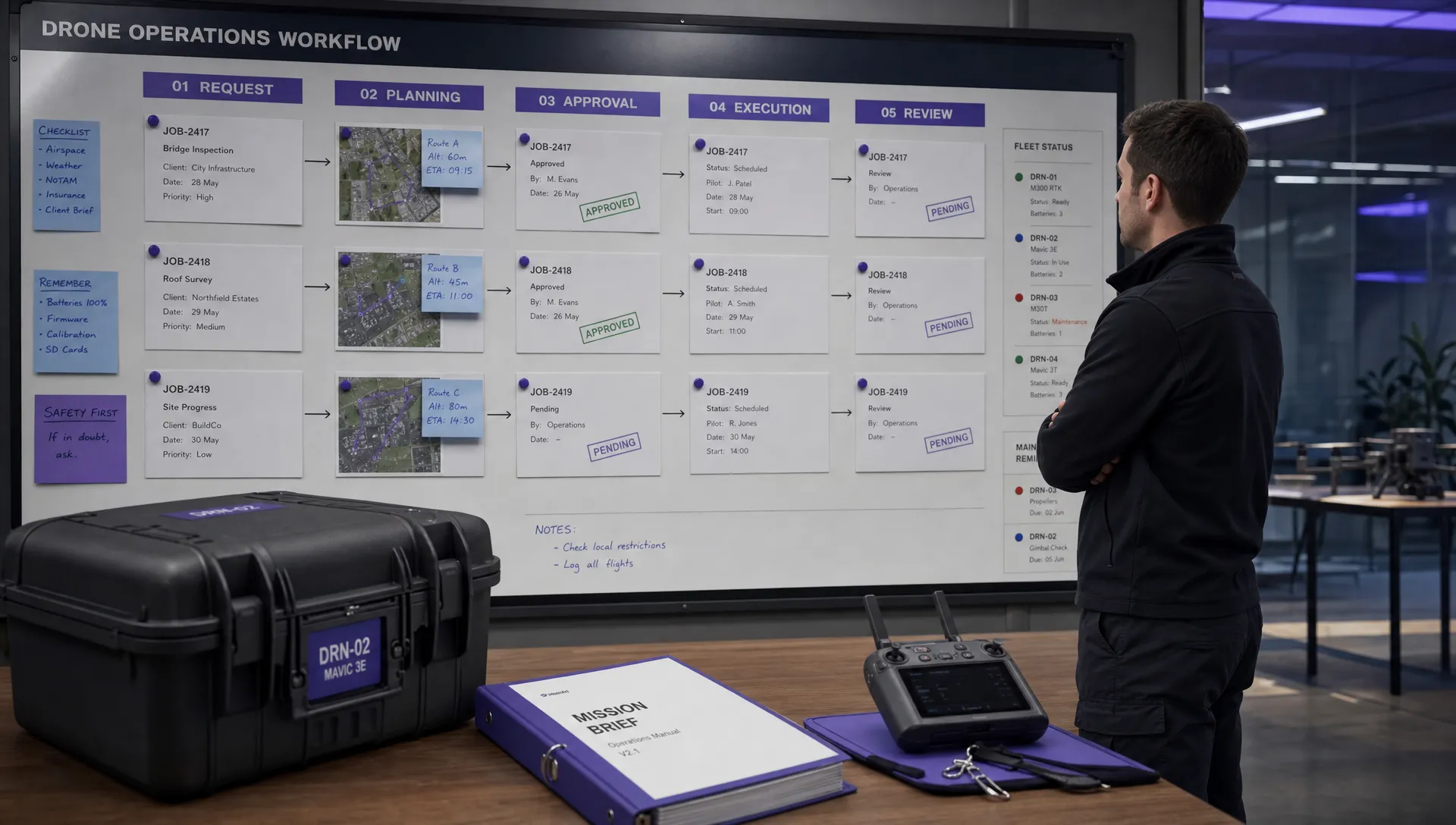
For airport-adjacent operations, your flight pack should allow someone else in your organisation to understand why the flight was considered safe and compliant. It should also help the field crew make the same decisions that the planner intended.
A strong flight pack usually includes the following evidence.
| Document or record | Purpose | Practical note |
|---|---|---|
| Site map and operating volume | Shows where the drone will fly and the maximum height | Include buffers and emergency landing areas |
| Airspace check | Records FRZ, controlled airspace, geographical zones and nearby aerodromes | Save the date and time of the check |
| NOTAM or temporary restriction check | Confirms short term aviation changes | Re-check close to launch |
| Permission records | Proves who approved what and under which conditions | Keep reference numbers and named contacts |
| Site risk assessment | Captures ground hazards, people, property and operational controls | Make it specific to the airport environment |
| Crew brief | Ensures conditions reach the pilot, observer and support staff | Include abort triggers and emergency contacts |
| Flight log | Records what actually happened | Note deviations, cancellations and lessons learned |
The goal is not paperwork for its own sake. The goal is to reduce ambiguity. If the pilot is challenged by a site manager, aerodrome contact, regulator or member of the public, the crew should be able to explain what permission they have, what limits apply and how they will stop if conditions change.
A Simple No-Surprises Checklist
Use this as a final sense check before committing people and equipment to a near-airport job.
- Confirm exact coordinates, maximum height, flight boundary and time window.
- Check current official airspace data, not just a saved planning screenshot.
- Identify all nearby airports, aerodromes, heliports and relevant low level aviation activity.
- Check NOTAMs, temporary restrictions, emergency restrictions and special events.
- Separate aviation permission from land access, client approval and site safety approval.
- Record permission conditions in the crew brief, not only in an email thread.
- Define abort triggers for crewed aircraft, weather, loss of communication or scope change.
- Re-check the day before and immediately before flight where required.
- Log the flight outcome, including any cancellation or change caused by airport activity.
If any of these items are uncertain, pause the operation until the uncertainty is resolved. A delayed flight is far easier to explain than an avoidable airspace incident.
Frequently Asked Questions
Can I fly a drone near an airport if I stay below 120 m? Not automatically. Altitude limits do not override airport restriction zones, controlled airspace requirements or local permission conditions. You must check the rules for the exact location and time of flight.
How far do airport drone rules extend? There is no universal distance that works everywhere. Some rules are based on defined zones, airspace classes, runway layouts or local UAS geographical zones. Always check current official maps and regulator guidance.
Who gives permission to fly in an airport restriction zone? It depends on the jurisdiction and the aerodrome. Permission may involve an air traffic control unit, flight information service, aerodrome operator, aviation regulator or digital authorisation service. Landowner permission is usually a separate requirement.
Do emergency services get automatic permission to fly near airports? Not always. Emergency services may have specific procedures, exemptions or standing arrangements, but those need to be understood before deployment. Airport coordination can still be essential, especially near active runways or heli routes.
Can software guarantee that a near-airport drone flight is legal? No. Software can support planning, checks, records and workflow, but the operator remains responsible for complying with current regulations, permissions and operational authorisations.
Plan Airport-Aware Operations With Better Records
Airport drone rules do not have to create last minute chaos. The safest operators build a repeatable process: define the operating volume, check official sources, separate permissions, brief the crew, re-check before launch and keep a clear record of what happened.
If your team needs a more structured way to manage flight planning, checklists, risk assessments, fleet records and flight logs, Dronedesk brings core drone operations management tasks into one platform. Use it to support better planning discipline, then pair that discipline with the official permissions and local procedures every airport-adjacent flight requires.
 How to Start a Drone Mapping Business With a Clear Workflow →
 Class C Airspace Drone Rules for Commercial Flights →
 How to Create a Drone Job Pack for Every Mission →
 FAA Small UAS Rule: Key Requirements for Operators →
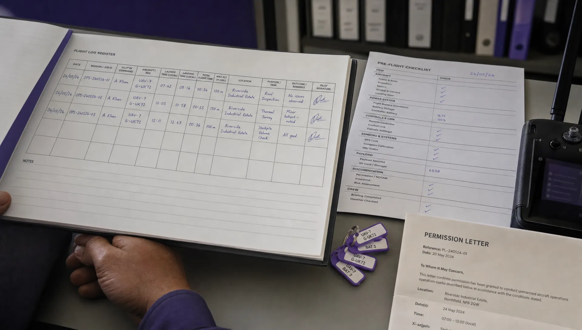 How to Build a Drone Pilot Flight Log That Is Audit Ready →
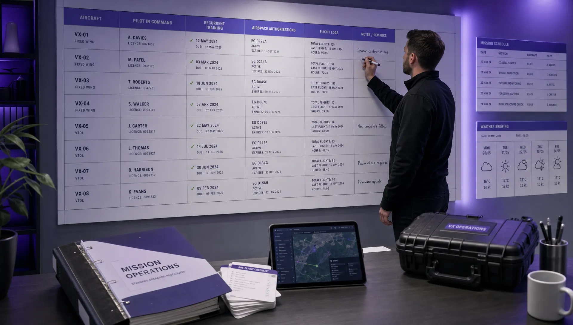 FAA Drone Licence Requirements for Commercial Pilots →
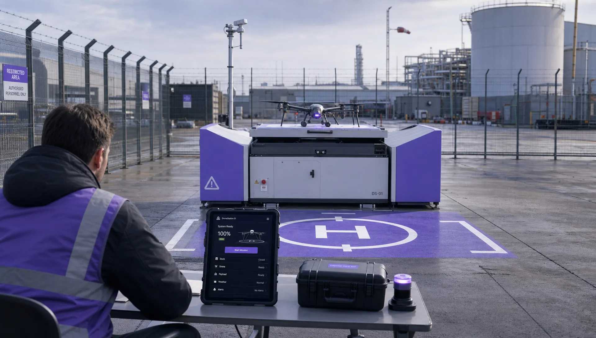 FAA BVLOS Waivers Granted: What Successful Cases Show →
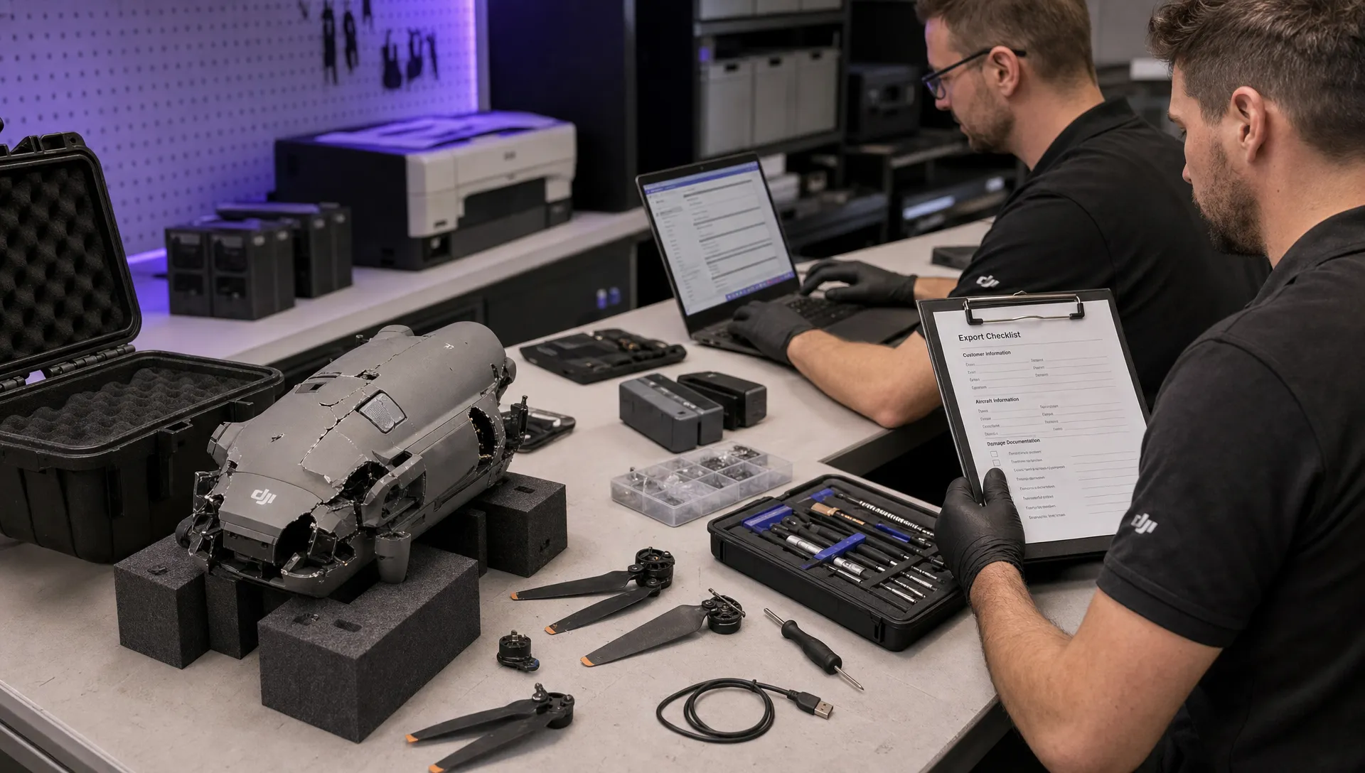 How to Export DJI Flight Logs for Incident Reviews →
 Drone Safety and Legal Duties for Business Operations →
 EASA Drone Regulations: Open, Specific and Certified Categories →