How to Build a Drone Flight Risk Assessment That Works
A drone flight risk assessment is only useful if it changes decisions on the day. It should help the remote pilot, observer, operations manager and client understand what could go wrong, what has been done to reduce the risk and when the flight must be delayed, redesigned or cancelled.
For professional operators, this is not just a compliance exercise. Survey companies may be working close to roads, railways, roofs and construction sites. Utility teams may be flying near power infrastructure, water assets or remote terrain. Emergency services may need to make rapid decisions in uncertain conditions. In each case, the assessment needs to be structured enough to stand up to scrutiny, but practical enough to use under real operational pressure.
This guide explains how to build a drone flight risk assessment that works in the field, not just in a folder.
What a drone flight risk assessment is meant to achieve
At its simplest, a risk assessment identifies hazards, evaluates who or what could be harmed, puts controls in place and records the remaining risk. That structure mirrors the general risk management principles set out by the Health and Safety Executive, but drone operations add aviation-specific factors such as airspace, aircraft performance, lost-link behaviour, battery limits and interactions with other air users.
In the UK, drone operators should also plan in line with the Civil Aviation Authority's drone guidance and the Drone and Model Aircraft Code. If your operation sits under an operational authorisation, operating safety case, PDRA or any other prescribed methodology, your job risk assessment must align with those requirements. A generic site form cannot replace the controls, limitations and procedures in your authorisation or operations manual.
A good drone flight risk assessment should answer five questions:
- What exactly are we trying to do?
- What could realistically go wrong at this site, with this aircraft, on this day?
- What controls will reduce the likelihood or severity of those outcomes?
- What residual risk remains after controls are applied?
- Who has authority to approve, pause or stop the flight?
If the assessment cannot support a clear go/no-go decision, it is probably too vague.
Start by defining the operation, not the paperwork
Many weak assessments fail because they begin with a template rather than the task. Before scoring anything, define the operation in plain language. A roof inspection in a quiet industrial estate, a bridge survey over a public road and a missing-person search at night have completely different risk profiles, even if the same drone is used.
Your assessment should capture the job objective, location, date and time window, aircraft, payload, crew roles, maximum planned altitude, launch and recovery area, expected flight duration, site access arrangements and any client or stakeholder constraints. It should also state whether the operation is visual line of sight or conducted under a specific authorisation that permits something else.
Be precise about boundaries. Mark the working area, contingency area and emergency landing options. Define what is outside the scope of the operation too. For example, if the client asks for additional imagery of a nearby structure after you arrive, that change may require a new assessment rather than a quick extra flight.
This early clarity prevents the most common problem in drone risk assessment: controlling the risks for the job you expected, while actually flying the job that unfolded on site.
Gather site intelligence before you score risk
Risk scoring is only as good as the information behind it. Before assigning likelihood and severity, collect evidence about the operating environment. Desktop planning should be followed by an on-site check because conditions change.
For drone work, site intelligence normally includes airspace restrictions, nearby aerodromes, flight restriction zones, NOTAMs, temporary restrictions, obstacles, terrain, public access, roads, railways, water, livestock, overhead lines, telecoms infrastructure and emergency service activity. Weather should be considered in detail, not reduced to a single tick box. Wind at roof height, gusts, precipitation, visibility, temperature and low sun can all affect safe operation.

For utility and infrastructure work, pay particular attention to electromagnetic interference, asset criticality, access control and emergency procedures. For survey companies, consider the interaction between data capture requirements and flight safety. If the shot requires flying closer, lower or longer than planned, that requirement belongs in the risk assessment.
This is where operational management software can support consistency. Dronedesk includes airspace intelligence, proximity intelligence and flight planning features, helping operators bring planning information into the same workflow as job administration and compliance documentation. You can review the platform's current capabilities on the Dronedesk features page.
Identify hazards by category
A useful drone flight risk assessment groups hazards so that important areas are not missed. Categories also make the assessment easier to review across repeat jobs, clients and teams.
| Hazard category | Examples to consider | Typical evidence source |
|---|---|---|
| Airspace | Controlled airspace, FRZs, NOTAMs, nearby aerodromes, low-flying aircraft, emergency aviation | CAA guidance, NOTAM checks, airspace tools, local procedures |
| Ground environment | Uninvolved people, roads, railways, schools, public rights of way, vehicles, livestock | Maps, site visit, client information, local authority information |
| Obstacles | Trees, cranes, masts, overhead cables, buildings, bridges, wind turbines | Site survey, imagery, asset drawings, visual inspection |
| Weather | Wind, gusts, rain, fog, temperature, low sun, turbulence around structures | Forecasts, local observation, aircraft manual limits |
| Aircraft and payload | Battery health, propellers, firmware, payload security, lost-link behaviour, return-to-home settings | Fleet records, pre-flight checks, maintenance logs |
| Crew and human factors | Competence, fatigue, workload, communications, lone working, role clarity | Training records, rota, briefing, team management records |
| Emergency response | Flyaway, crash, fire, public incident, data loss, injury, escalation routes | Emergency plan, client procedures, contact list |
| Security and privacy | Sensitive sites, personal data, public concern, hostile interference | Client brief, data policy, signage, stakeholder engagement |
Do not treat this table as a fixed checklist. The point is to prompt thinking. A mountain rescue deployment, a coastal erosion survey and a substation inspection may share some hazards, but the controls and residual risks will differ.
Use a risk matrix, but do not worship the numbers
Most operators use a simple likelihood and severity matrix. That is fine, provided everyone understands what the scores mean. A 5 x 5 matrix is common, with likelihood scored from 1 to 5 and severity scored from 1 to 5. The risk rating is usually the two scores multiplied together.
| Score | Likelihood guide | Severity guide |
|---|---|---|
| 1 | Rare in normal conditions | Negligible impact, no injury, minimal disruption |
| 2 | Unlikely but possible | Minor damage, minor first aid, limited delay |
| 3 | Possible during this task | Injury requiring treatment, reportable disruption, asset damage |
| 4 | Likely unless controlled | Serious injury, significant property damage, major operational impact |
| 5 | Expected or already present | Fatality, multiple serious injuries, aircraft conflict, critical incident |
You can then define bands for action. For example, low risks may be acceptable with standard controls, medium risks may require documented mitigation and operational approval, high risks may require redesign or senior sign-off and unacceptable risks should stop the operation until the plan changes.
The exact thresholds should match your organisation, authorisation and safety management system. What matters is consistency. If one pilot scores an overhead cable hazard as 4 and another scores the same situation as 12, your team does not have a shared risk language.
The matrix should support judgement, not replace it. A low numerical score does not make a poor plan safe, and a high initial score does not automatically cancel a job if robust controls can reduce the residual risk to an acceptable level.
Choose controls that genuinely reduce risk
Controls should be specific, realistic and under someone’s ownership. Weak controls often sound reassuring but do not change the operation. “Pilot to be careful” is not a control. “Establish a coned launch area 30 metres from the public footpath, brief a visual observer to manage pedestrian approaches and pause flight if the area becomes uncontrolled” is much stronger.
Think in terms of a control hierarchy. First, remove the hazard if you can. If not, redesign the task, create separation, add technical safeguards, improve procedures and brief the crew. PPE and signage may help, but they should not be your only line of defence.
| Risk scenario | Weak control | Stronger control |
|---|---|---|
| Public footpath crosses the operating area | Watch for pedestrians | Reposition launch area, use barriers or marshals where permitted, brief observer, suspend flight when uninvolved people enter the defined area |
| Survey requires flying close to overhead lines | Keep a lookout | Use standoff distance, zoom payload where possible, define hard flight boundaries, assign observer to cables, include emergency landing direction |
| Gusty wind around buildings | Check the forecast | Set aircraft-specific wind limits, assess local turbulence on arrival, reduce flight height or postpone if gusts exceed limits |
| Nearby helicopter activity is possible | Listen for aircraft | Check airspace and NOTAMs, maintain visual scanning, define immediate descent or land procedure, coordinate where required |
| Battery performance may be reduced by cold weather | Use full batteries | Warm and manage batteries correctly, set conservative return thresholds, monitor voltage behaviour, limit flight duration |
Controls should be written so that another competent pilot could understand and apply them. If the control relies on local knowledge, write that local knowledge down. If it relies on a client action, such as securing a car park or notifying site staff, confirm who is responsible and what happens if the action is not completed.
Record residual risk and the go/no-go criteria
Initial risk is the level before additional controls. Residual risk is what remains after controls are applied. The residual score is the more important decision point because it tells you whether the planned flight is acceptable.
For every significant hazard, record the control measures, residual score, responsible person and decision trigger. This is especially important for teams because it prevents assumptions. The operations manager may think a site will be closed to the public, while the remote pilot arrives to find vehicles moving through the area.
Clear go/no-go criteria remove ambiguity. They should cover weather limits, aircraft status, crew readiness, airspace constraints, ground control, communications and emergency arrangements. Avoid vague phrases such as “weather suitable” or “area safe”. Instead, refer to measurable limits from your aircraft manual, operational authorisation, company procedures or site-specific plan.
Useful decision triggers include exceeded wind or gust limits, loss of visual line of sight, unexpected aircraft activity, uncontrolled public access, GNSS instability, battery warnings, crew fatigue, client pressure to operate outside the brief or any change that invalidates the original plan.
The remote pilot must have clear authority to stop the operation. A risk assessment that can be overruled by schedule pressure is not a working safety tool.
Make the assessment dynamic on site
A desktop assessment is a plan. The on-site dynamic risk assessment is the reality check. This does not need to be a long process, but it does need to be deliberate and recorded where appropriate.
On arrival, confirm that the launch area, operating area, emergency landing options and public access points match the plan. Check for temporary hazards such as cranes, scaffolding, parked vehicles, livestock, contractors, roadworks or event traffic. Reassess wind direction and turbulence. Confirm mobile signal or other communications where they are part of your procedure.
During the flight, continue reassessing. The environment is not static. A safe launch can become an unsafe recovery if people gather, vehicles enter the area or the weather changes. Build in clear pause points, especially for complex survey patterns or multi-battery operations.
After the flight, capture lessons learned. If a hazard was missed, a control was ineffective or a near miss occurred, update the template or site record. Over time, this creates a practical knowledge base for repeat clients and recurring assets.
Example: risk assessment extract for an infrastructure inspection
The following simplified extract shows how a practical assessment might look for a utility inspection near overhead infrastructure. It is not a template for direct use, but it demonstrates the level of specificity that makes a risk assessment useful.
| Hazard | Initial risk | Controls | Residual risk | Owner |
|---|---|---|---|---|
| Overhead cables close to inspection asset | 20 | Maintain defined standoff distance, use zoom payload, mark hard boundary on flight plan, observer assigned to cable monitoring | 8 | Remote pilot |
| Unauthorised personnel entering work area | 12 | Client to brief site staff, launch area coned, observer to pause operation if access is not controlled | 6 | Client contact and observer |
| Gusts around structures | 15 | Check forecast and on-site wind, apply aircraft manual limits, reduce flight envelope or postpone if gusts exceed limit | 6 | Remote pilot |
| Loss of command link | 10 | Confirm return-to-home settings, check home point, set safe return height for local obstacles, brief emergency procedure | 5 | Remote pilot |
| Battery depletion during repeated inspection passes | 12 | Use conservative return threshold, track battery condition, limit each sortie, record battery anomalies | 4 | Remote pilot |
Notice that each control is observable. A reviewer can tell whether it happened. That is what separates an operational risk assessment from a generic safety statement.
Common mistakes that weaken drone risk assessments
The most common mistake is copying a previous assessment without challenging whether the site, aircraft, crew or conditions have changed. Repeat work should become more efficient, but not automatic. A familiar site can still present new hazards.
Another mistake is scoring everything as medium risk. This may feel safe, but it hides priorities. High-consequence hazards, such as airspace conflict, loss of control near people or collision with critical infrastructure, need to stand out.
Operators also underestimate human factors. Fatigue, distraction, client pressure, poor communication and unclear crew roles can increase risk even when the technical plan looks sound. For emergency services, the urgency of the mission can create additional pressure. For survey teams, the pressure may come from tight access windows or weather delays. For utility work, it may come from asset downtime or the need to coordinate with other contractors.
Finally, many assessments fail to connect with the rest of the operation. The risk assessment, flight plan, checklist, crew briefing, maintenance record and flight log should tell the same story. If they live in separate spreadsheets, email threads and paper forms, gaps are easier to miss.
How Dronedesk supports a more consistent process
Software cannot make safety decisions for you, but it can make the process more consistent and easier to manage across jobs, pilots and clients. Dronedesk is an all-in-one web platform for drone operations management, with features including client management, fleet management, team management, airspace intelligence, proximity intelligence, flight planning, flight logging, data reporting, configurable checklists and risk assessments.
For operators managing multiple aircraft, pilots, clients or repeat sites, keeping these elements connected matters. A risk assessment is stronger when it sits alongside the job details, aircraft information, crew assignments, planning data, checklists and logs that support it.
This is particularly valuable for organisations that need auditable processes, such as survey companies, utilities and emergency services. The aim is not to add paperwork. It is to make sure the right information is available before, during and after the flight.
You can explore the platform's current capabilities on the Dronedesk features page.
A practical drone flight risk assessment checklist
Before approving a flight, make sure your assessment has covered the essentials:
- The task, location, aircraft, payload, crew and operating limits are clearly defined.
- Airspace, NOTAMs, nearby aerodromes and aviation constraints have been checked.
- Ground risks to uninvolved people, vehicles, property and critical assets are identified.
- Weather limits are specific and linked to aircraft, authorisation and company procedures.
- Aircraft status, battery condition, firmware, payload security and lost-link behaviour are considered.
- Crew roles, communications, fatigue and competence are addressed.
- Emergency procedures, landing options and escalation contacts are recorded.
- Control measures are specific, owned and realistic.
- Residual risk is recorded and accepted by the right person.
- On-site dynamic reassessment is completed before launch.
If any of these points are missing, the assessment may still look complete, but it is unlikely to work well under pressure.
Frequently asked questions
Is a drone flight risk assessment legally required in the UK? The exact requirements depend on the type of operation, operating category and any authorisation you hold. However, professional operators are expected to plan safely, comply with CAA requirements and manage risks to people, property and other airspace users. If you operate under an operational authorisation, your risk assessment process should align with that authorisation and your operations manual.
Can I reuse a drone flight risk assessment for repeat jobs? Yes, but only as a baseline. You should review it for changes in airspace, site access, weather, aircraft, crew, client requirements and temporary hazards. A repeat site does not automatically mean repeat risk.
What is the difference between a risk assessment and a pre-flight checklist? A risk assessment identifies hazards, controls and residual risk for the operation. A pre-flight checklist confirms that required actions and conditions are in place before flight. They should work together, but they are not the same document.
Who should approve the residual risk? This depends on your organisation. For simple operations, the remote pilot may approve the residual risk. For higher-risk or unusual work, an operations manager, accountable manager or other competent person may need to review and authorise the plan. Define this in your procedures before the job.
How detailed should a drone risk assessment be? It should be proportionate to the operation. A straightforward flight in a controlled rural location may need a concise assessment. A flight near people, infrastructure, controlled airspace or emergency activity needs more detail, clearer controls and stronger evidence.
Build assessments your pilots will actually use
The best drone flight risk assessment is not the longest document. It is the one that helps a competent team make safer, clearer decisions before and during the operation.
Start with the task. Gather reliable site intelligence. Identify hazards by category. Score risk consistently. Apply controls that change the operation, not just the wording. Record residual risk and give the remote pilot clear authority to stop.
If you want to manage risk assessments as part of a wider drone operations workflow, Dronedesk brings planning, checklists, risk assessments, fleet, team, client and logging tools into one platform. Visit Dronedesk to see how it can support safer, more organised drone operations.
 Drone Flying Laws: A Practical Guide for Operators →
 CAA UAV Regulations Explained for UK Operators →
 UK SORA Explained for Drone Operators →
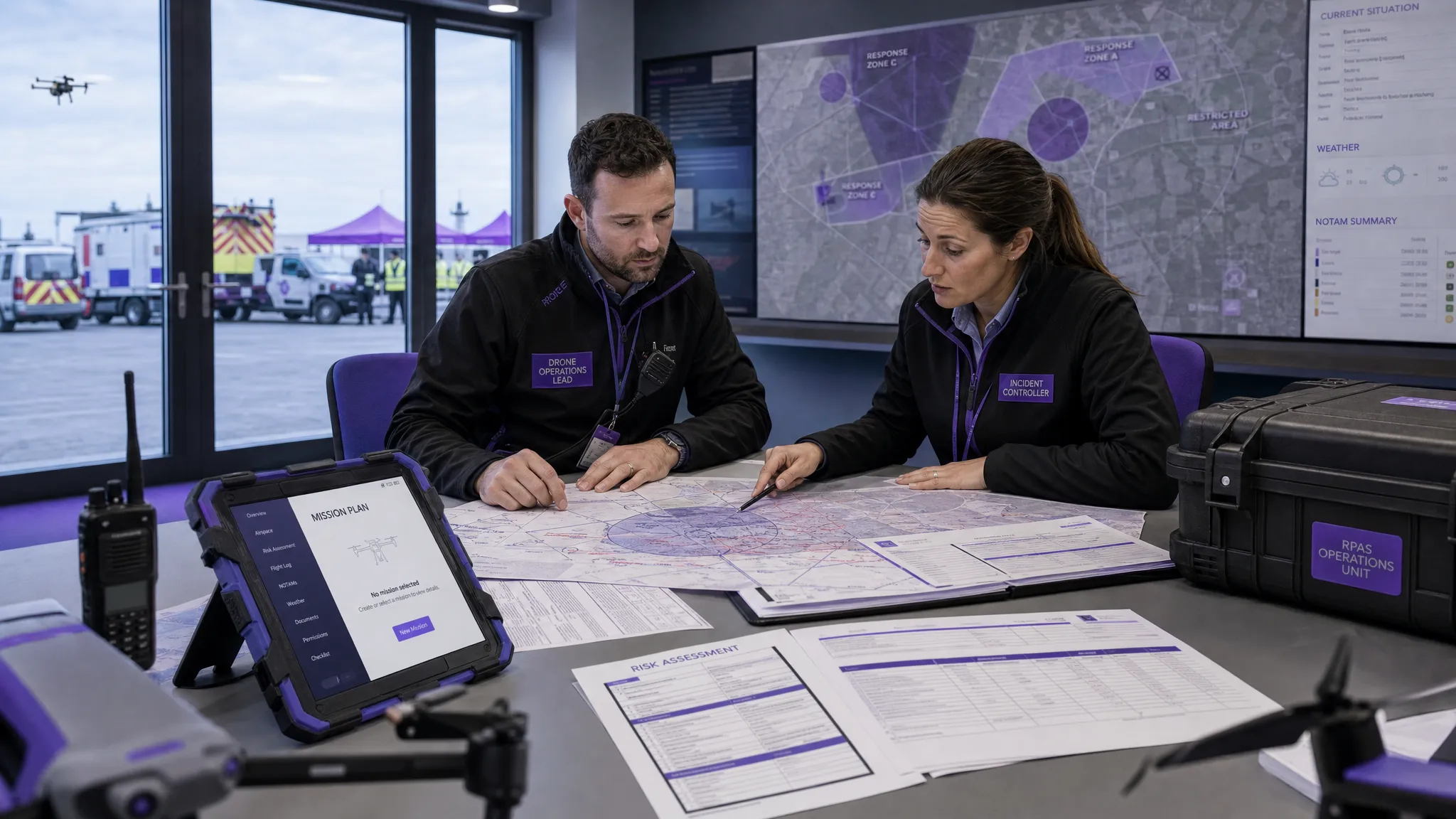 AUS Drone Laws Explained for Commercial Operators →
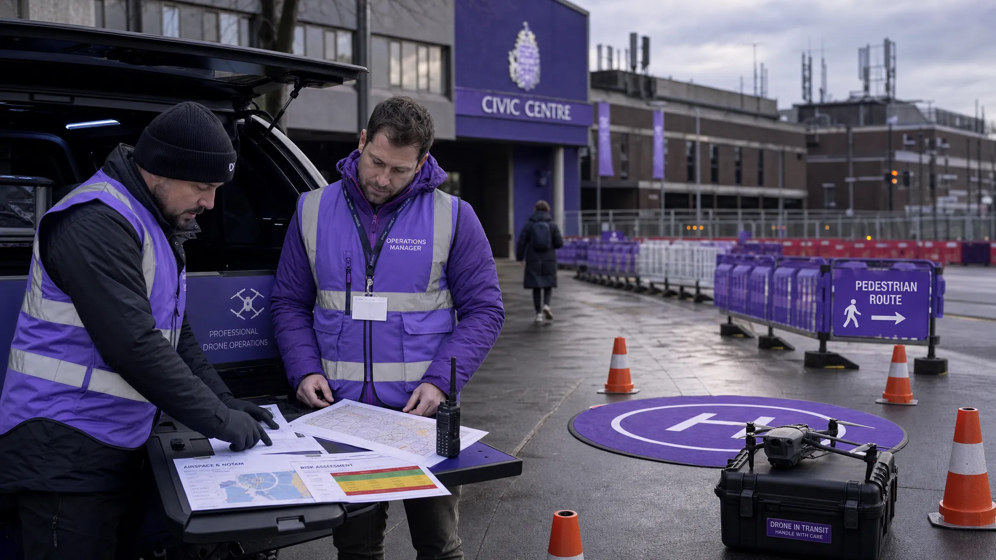 Drone Flying Rules Explained for Business Use →
 How to Choose an Aerial Survey Drone for Accurate Data →
 What Makes a Great Drone Operator in 2026? →
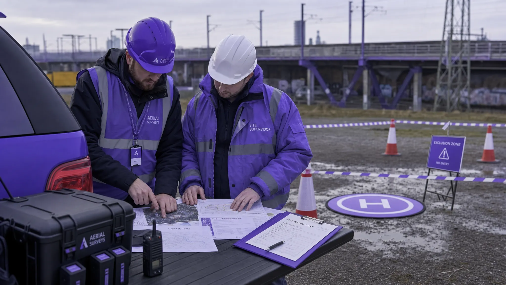 Drone Rules Every Commercial Operator Should Know →
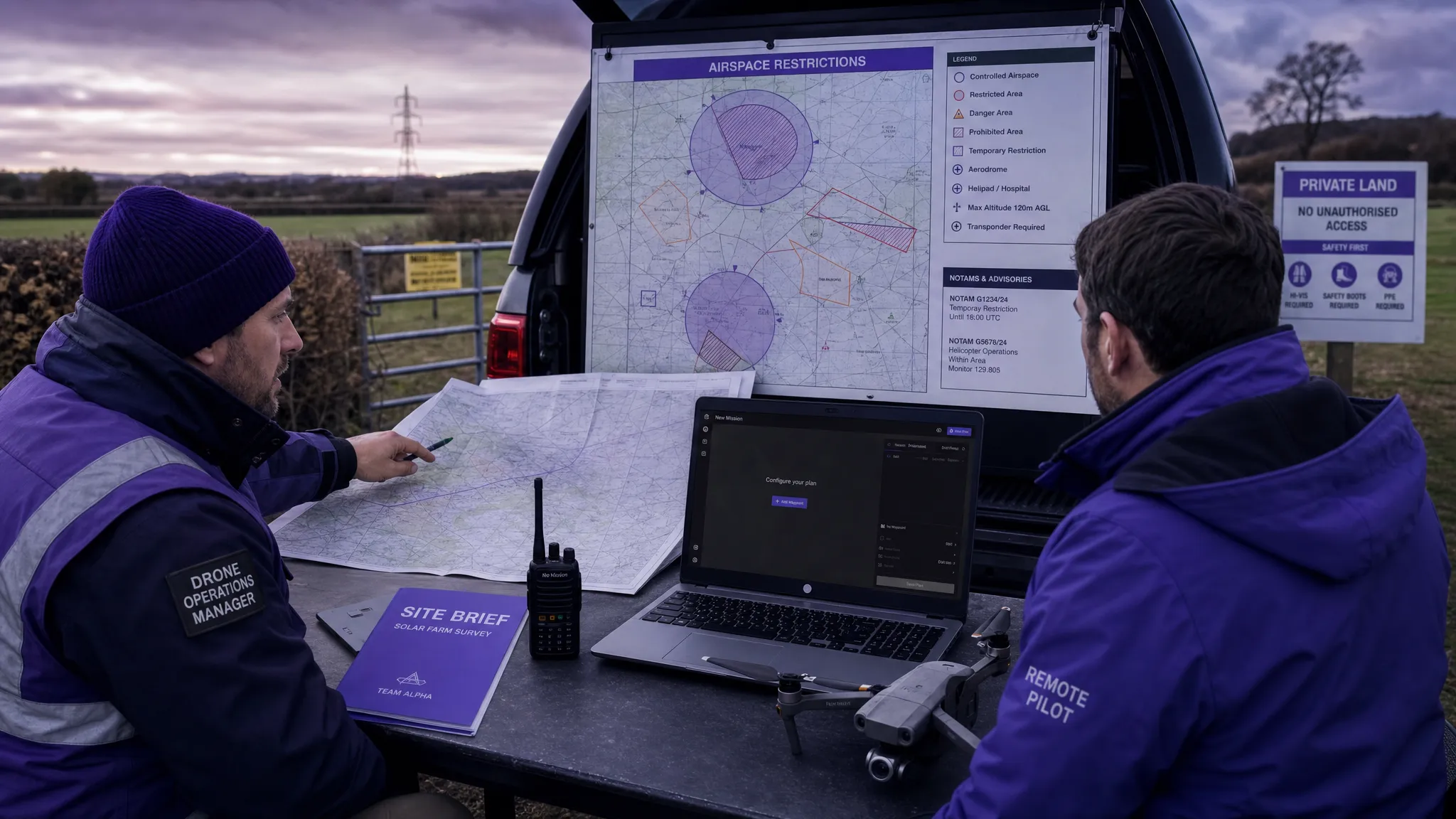 How to Use a Drone Flight Restrictions Map Safely →
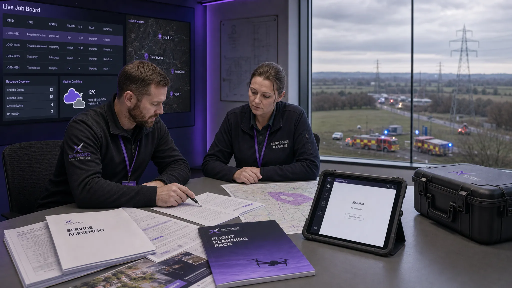 Drone as a Service: Is DaaS Right for Your Business? →