Drone Mapping Companies: How to Choose the Right Partner
Choosing between drone mapping companies is rarely as simple as comparing day rates. The right partner can help you turn aerial data into decisions, whether you are measuring stockpiles, inspecting utility corridors, documenting a construction site or supporting a public safety operation. The wrong partner can leave you with attractive images that are difficult to trust, hard to integrate and weak from a compliance perspective.
A good selection process looks beyond the drone itself. It tests the provider’s regulatory discipline, survey competence, data workflow, operational resilience and ability to communicate clearly with your team. This guide explains how to assess drone mapping companies before you commit budget, site access or operational responsibility.
What drone mapping companies actually provide
Drone mapping companies typically use unmanned aircraft to capture overlapping imagery, LiDAR, thermal data or other sensor outputs, then process that data into geospatial deliverables. Depending on the provider, this may include orthomosaics, 3D models, point clouds, digital surface models, digital terrain models, contours, volumetric calculations, asset inspection maps or GIS-ready datasets.
Not every company covers the full workflow. Some are excellent pilots but outsource processing. Some specialise in survey-grade outputs. Others focus on visual inspection, construction progress, emergency response or asset management. Before you compare proposals, clarify which parts of the workflow you expect the supplier to own.
A typical drone mapping engagement may include data capture, flight planning, survey control, image processing, quality assurance, reporting and repeat monitoring. If any one of those stages is weak, the final map may be less useful than it first appears.
Start with the decision the data needs to support
The best way to shortlist drone mapping companies is to define the decision you need to make from the data. A survey company may need measurement-grade outputs for design work. A utility company may need reliable evidence of vegetation encroachment or asset condition. Emergency services may need rapid situational awareness that can be shared with command teams. A construction client may need repeatable progress records across multiple phases.
Write a short project brief before requesting quotes. It should state the site location, purpose of the survey, required outputs, coordinate system, accuracy expectations, delivery deadline, access constraints, safety concerns and who will use the final data. This helps serious suppliers respond accurately and makes weak proposals easier to spot.
| Use case | Typical deliverables | What to check carefully | Red flag |
|---|---|---|---|
| Land and engineering survey | Orthomosaic, point cloud, contours, digital terrain model, CAD or GIS export | Survey control, coordinate reference system, accuracy report and professional competence | Supplier talks only about photo resolution |
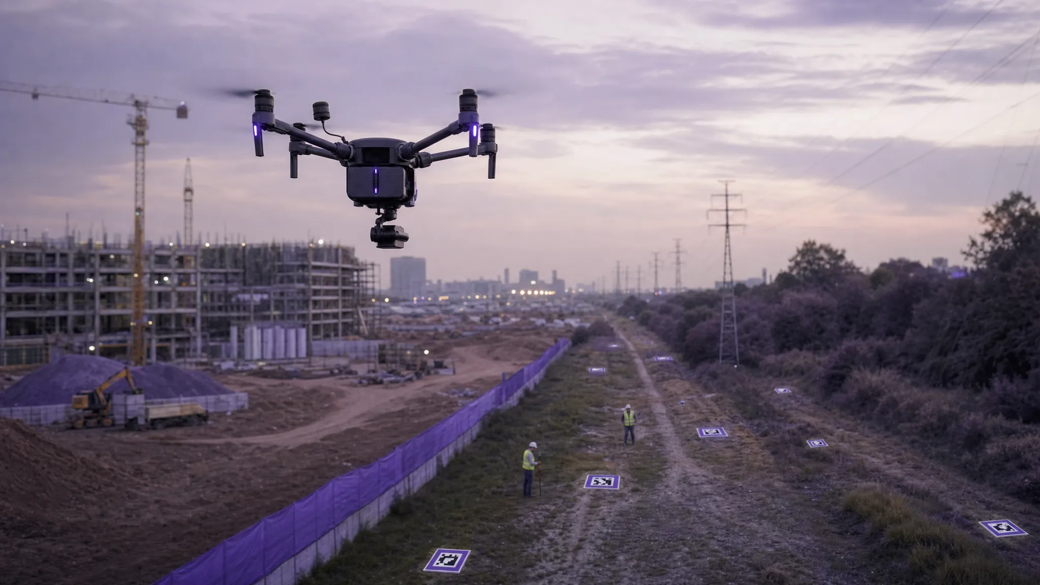
| Construction monitoring | Progress orthomosaics, 3D models, volumetrics, visual records | Repeatable flight paths, consistent dates, change comparison and stakeholder access | No plan for consistent repeat surveys |
| Utilities and infrastructure | Corridor maps, asset condition imagery, thermal outputs, vegetation analysis | Site access, critical infrastructure data handling, proximity risks and outage planning | Weak data security or no proximity risk process |
| Emergency services | Rapid aerial mapping, search area documentation, incident records | Deployment speed, command structure, evidence handling and privacy controls | No incident protocol or unclear authorisations |
| Environmental and land management | Habitat maps, erosion monitoring, flood extent mapping, multispectral data | Sensor suitability, seasonal timing, ground truthing and repeatability | Claims of analysis without validation method |
If the supplier cannot explain how their deliverables support your use case, keep looking. The strongest drone mapping companies sell outcomes, not just flight time.
Check compliance, safety and airspace competence
Professional drone mapping starts with safe and legal operations. In the UK, the Civil Aviation Authority uses a risk-based framework for drone operations, including Open, Specific and Certified categories. A mapping provider should be able to explain which category applies to your job, what authorisations are required and how they will manage site-specific risks.
Ask for evidence, not reassurance. A professional operator should be comfortable sharing relevant documentation, such as pilot competency, insurance, operating procedures, risk assessments, emergency procedures and method statements. For complex sites, they should also demonstrate how they assess airspace, nearby aerodromes, controlled airspace, people, roads, railways, power lines, livestock, sensitive property and communications with stakeholders.
This is especially important for utilities, emergency services and sites near critical infrastructure. A provider that can produce a map but cannot evidence its operational discipline may create unacceptable exposure for your organisation.
Good safety questions include:
- What operating category will this project fall under and why?
- What permissions, authorisations or landowner approvals are needed?
- How will you assess airspace, nearby hazards and proximity risks?
- What happens if weather, GPS, communications or aircraft performance changes on site?
- How are flights logged, incidents recorded and documents retained?
The answers should be specific to your site. Generic safety statements are not enough.
Test technical accuracy, not just image quality
High-resolution imagery is useful, but mapping value depends on accuracy, consistency and traceability. A visually impressive orthomosaic can still be unsuitable for measurement if it lacks ground control, calibration, a clear coordinate system or a quality assurance process.
Make sure you understand the difference between relative accuracy and absolute accuracy. Relative accuracy describes how well features align within the model. Absolute accuracy describes how well the dataset fits real-world coordinates. For many survey, engineering and utility applications, absolute accuracy matters.
Ask whether the supplier uses ground control points, checkpoints, RTK or PPK workflows, and how they validate results. For measurement-grade work, published standards such as the ASPRS Positional Accuracy Standards for Digital Geospatial Data can provide a useful reference point, even if your project uses a different local specification.
| Requirement | What a strong answer should include |
|---|---|
| Accuracy | A clear statement of expected horizontal and vertical accuracy, plus how it will be verified |
| Ground control | Explanation of GCPs, checkpoints or RTK/PPK use, including who sets and measures them |
| Coordinate system | Confirmation of the required CRS, datum and export formats |
| Quality assurance | A report showing processing settings, residuals, checkpoints and known limitations |
| Deliverables | File types, resolution, metadata, legends, layers and naming conventions |
| Limitations | Honest discussion of vegetation, reflective surfaces, shadows, wind, access and sensor constraints |
For survey companies, one extra point matters: drone mapping may support survey work, but it does not automatically replace professional surveying judgement. If the output will be used for design, boundary evidence, setting out, legal disputes or safety-critical engineering, check qualifications, professional indemnity and accountability carefully.
Review operational maturity
The most reliable drone mapping companies operate with repeatable processes. They do not rely on one pilot, one aircraft, one laptop and a vague plan. They can explain how they manage people, equipment, maintenance, batteries, data, weather windows, access permissions, client communication and contingency planning.
This matters because mapping projects often fail in practical ways. A battery issue delays a flight. A site contact is unavailable. A road closure changes the safe operating area. A processing error is found after delivery. A repeat survey is flown at a different altitude or angle, making comparison difficult.
Operational maturity is not glamorous, but it is what keeps projects on schedule and defensible. Look for signs that the provider has a documented workflow for planning, pre-flight checks, site briefings, flight logging, maintenance records, data backup and post-flight review.
For multi-site programmes, ask how the company standardises work across locations and pilots. This is particularly important for utilities, national survey firms, property portfolios and public sector organisations where consistency matters more than a one-off impressive dataset.
Confirm data governance, ownership and integration
Drone maps often contain sensitive information. They may show people, vehicles, security arrangements, infrastructure layouts, private land, incident scenes or commercially sensitive assets. Your supplier should be able to explain how data is stored, transferred, accessed, retained and deleted.
Clarify ownership before the flight. Do you own the raw imagery, processed outputs and derived data, or only the final report? Can you share the files with consultants, insurers, regulators, contractors or internal teams? Will the provider use your data for marketing or training unless you opt out?
Also check integration. A beautiful web map is useful, but many organisations need deliverables that fit existing workflows. Survey teams may need CAD or GIS exports. Utility teams may need data aligned to asset registers. Construction clients may need files that work with BIM or project management processes. Emergency services may need rapid outputs that can be shared securely with incident commanders.
The quote should specify formats, naming conventions, delivery method, access permissions and retention period. If the supplier is vague about data handling, treat that as a procurement risk.
Understand pricing beyond the day rate
Drone mapping costs vary because projects vary. Site size, location, airspace complexity, accuracy requirements, ground control, sensor type, processing time, reporting depth, travel, urgency and repeat frequency all affect the quote. A low day rate may not include the work required to produce reliable deliverables.
A transparent proposal should separate the main cost drivers. This helps you compare like for like and avoid surprise charges later.
| Cost element | Why it matters |
|---|---|
| Mobilisation and planning | Covers permissions, access, risk assessment, airspace checks and logistics |
| Flight operations | Includes pilots, aircraft, sensors, batteries, safety support and on-site time |
| Ground control | May require survey equipment, additional staff or coordination with your survey team |
| Processing | Photogrammetry, LiDAR processing, classification, modelling and QA can be substantial |
| Reporting and analysis | Interpretation, annotations, measurements and recommendations add value beyond raw data |
| Revisions and support | Clarifies what happens if stakeholders request changes or extra exports |
| Repeat surveys | Ensures consistent methodology across monitoring cycles |
Be cautious with quotes that are unusually cheap, especially if they do not mention ground control, QA, insurance, risk assessment or deliverable specifications. In mapping, the cheapest supplier can become expensive if the data has to be reflown.
Decide whether to outsource or build capability in-house
Hiring a mapping company makes sense when you need specialist equipment, qualified survey support, fast mobilisation in an unfamiliar location or occasional project work. It can also be the safer option when your organisation does not yet have the competence, governance or operational processes to run drone missions internally.
Building in-house capability can make sense when mapping is frequent, strategically important or closely tied to your operational knowledge. Survey firms, utilities and emergency services often reach a point where internal drone teams can respond faster, capture context better and create repeatable datasets across sites.
The decision is not always either-or. Many organisations use a hybrid model. They keep routine flights in-house while using specialist drone mapping companies for LiDAR, large-scale survey control, complex airspace, thermal work or peak demand.
If you are comparing software as part of that decision, remember that mapping software and operations management software solve different problems. Processing tools create maps and models. Operations platforms help manage the jobs, pilots, aircraft, planning, checks, risk assessments and records around those flights. For a deeper look at processing tools, see Dronedesk’s drone mapping software comparison guide.
Use a simple scorecard before you choose
A scorecard keeps the decision objective, especially when multiple stakeholders are involved. Rate each supplier against the criteria below, then weight the categories according to your risk level and use case.
| Evaluation area | What to look for |
|---|---|
| Relevant experience | Similar sites, sectors, outputs and operating constraints |
| Compliance and safety | Clear documentation, risk assessments, insurance and CAA awareness |
| Technical quality | Defined accuracy, survey control, QA process and sample deliverables |
| Operational reliability | Repeatable workflows, contingency planning and flight logging |
| Data governance | Ownership, security, retention, access and sharing controls |
| Communication | Clear proposal, realistic timelines and named points of contact |
| Commercial fit | Transparent pricing, scope boundaries and support after delivery |
The best partner is not always the largest or most expensive. It is the company whose competence matches the risk and value of the job.
Frequently Asked Questions
What is a drone mapping company? A drone mapping company captures aerial data with drones and converts it into maps, models, measurements or geospatial datasets. Services may include flight planning, data capture, photogrammetry, LiDAR, thermal mapping, survey control, analysis and reporting.
How do I compare drone mapping companies? Compare them on regulatory competence, safety processes, relevant experience, accuracy methodology, data deliverables, quality assurance, insurance, data governance, communication and pricing transparency. Ask for sample outputs from similar projects.
Do I need drone mapping software or a drone mapping company? You may need both, depending on your capability. A mapping company can provide the service and expertise. Mapping software helps process drone data. If you run flights internally, you will also need operational processes for planning, logging, risk assessments and compliance records.
What accuracy should I expect from drone mapping? Accuracy depends on altitude, camera or sensor quality, ground sampling distance, ground control, RTK or PPK workflows, processing settings, terrain, vegetation and validation methods. Always ask the provider to state expected accuracy and how it will be checked.
What should a drone mapping quote include? A good quote should define the scope, site assumptions, operating constraints, deliverables, file formats, accuracy expectations, ground control approach, timeline, data ownership, revision policy, exclusions and total cost structure.
Are drone maps suitable for legal or engineering decisions? They can support legal and engineering decisions when captured, controlled and validated correctly, but not every drone map is suitable. For high-stakes work, verify the supplier’s survey qualifications, professional indemnity, QA process and accountability.
Plan and manage drone mapping work with confidence
Whether you outsource to drone mapping companies or build capability in-house, the operational layer matters. Flights need to be planned, checked, documented, logged and reviewed in a consistent way, especially when teams, assets and sites multiply.
Dronedesk is an all-in-one web platform for drone operations management and flight planning. The Dronedesk features page lists tools for client management, fleet management, team management, airspace intelligence, proximity intelligence, flight planning, flight logging, data reporting, configurable checklists and risk assessments.
If your organisation manages drone mapping work, inspection flights or public safety operations, Dronedesk can help you bring the operational admin together in one place. Explore the platform at dronedesk.io.
 CAA UAV Regulations Explained for UK Operators →
 UK SORA Explained for Drone Operators →
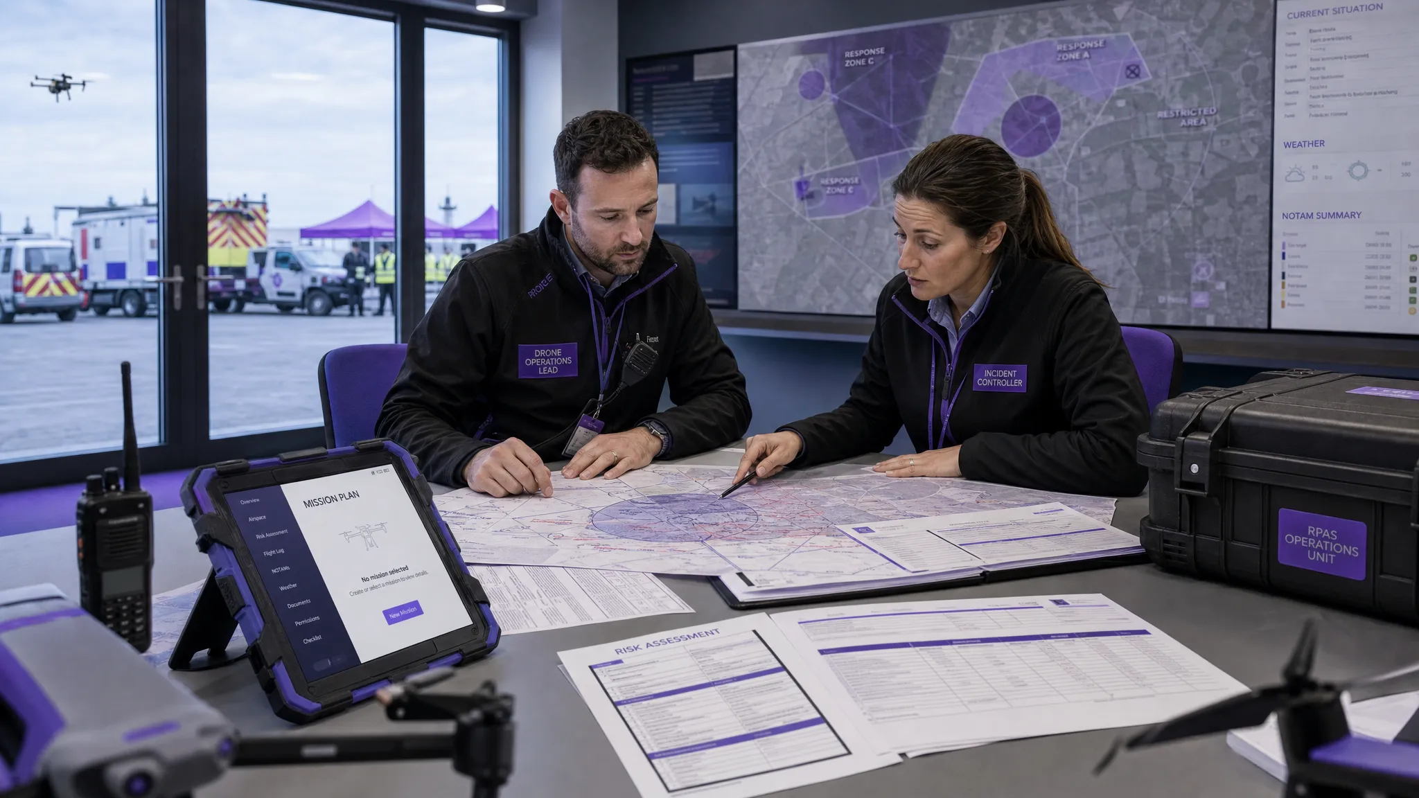 AUS Drone Laws Explained for Commercial Operators →
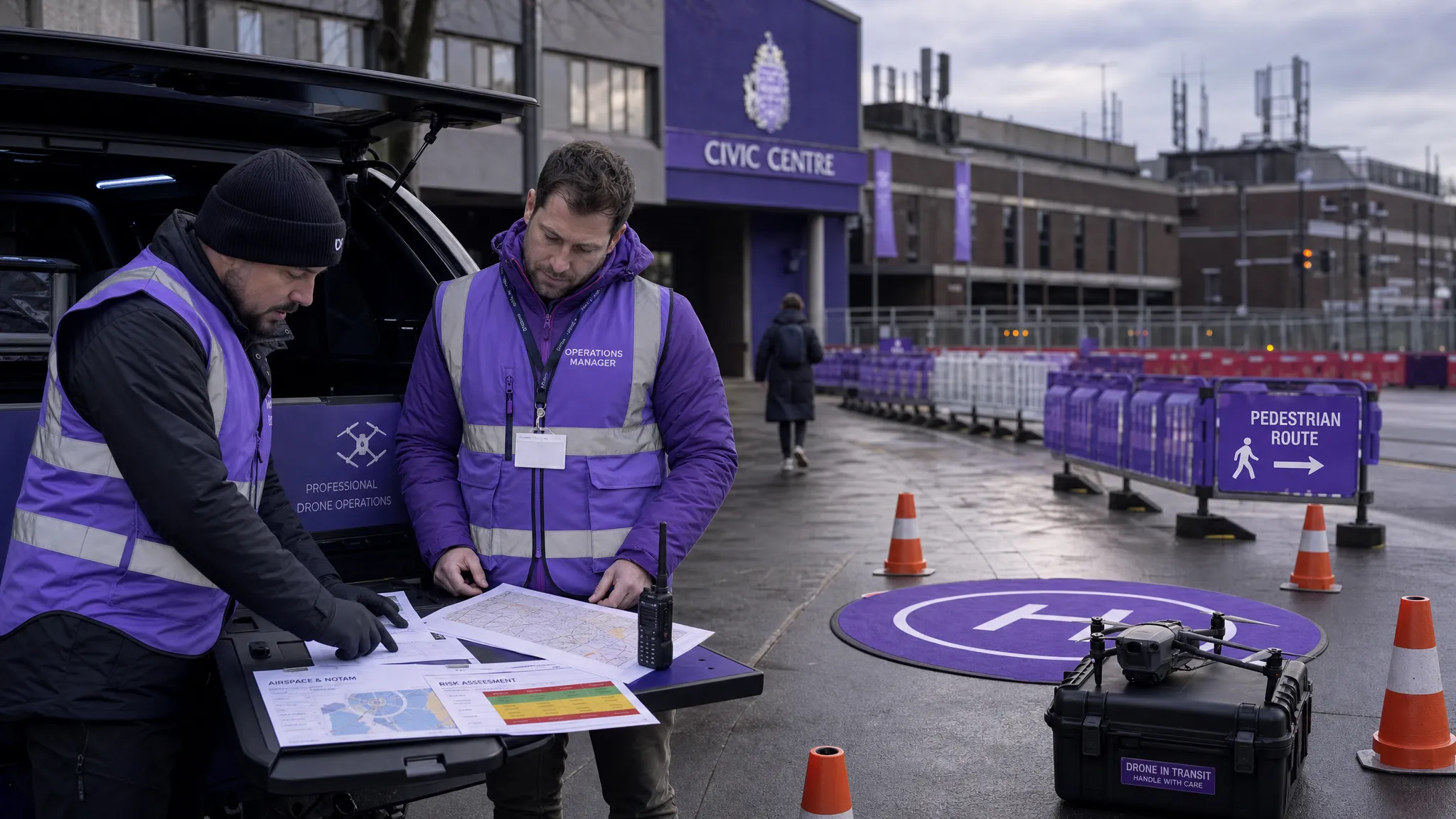 Drone Flying Rules Explained for Business Use →
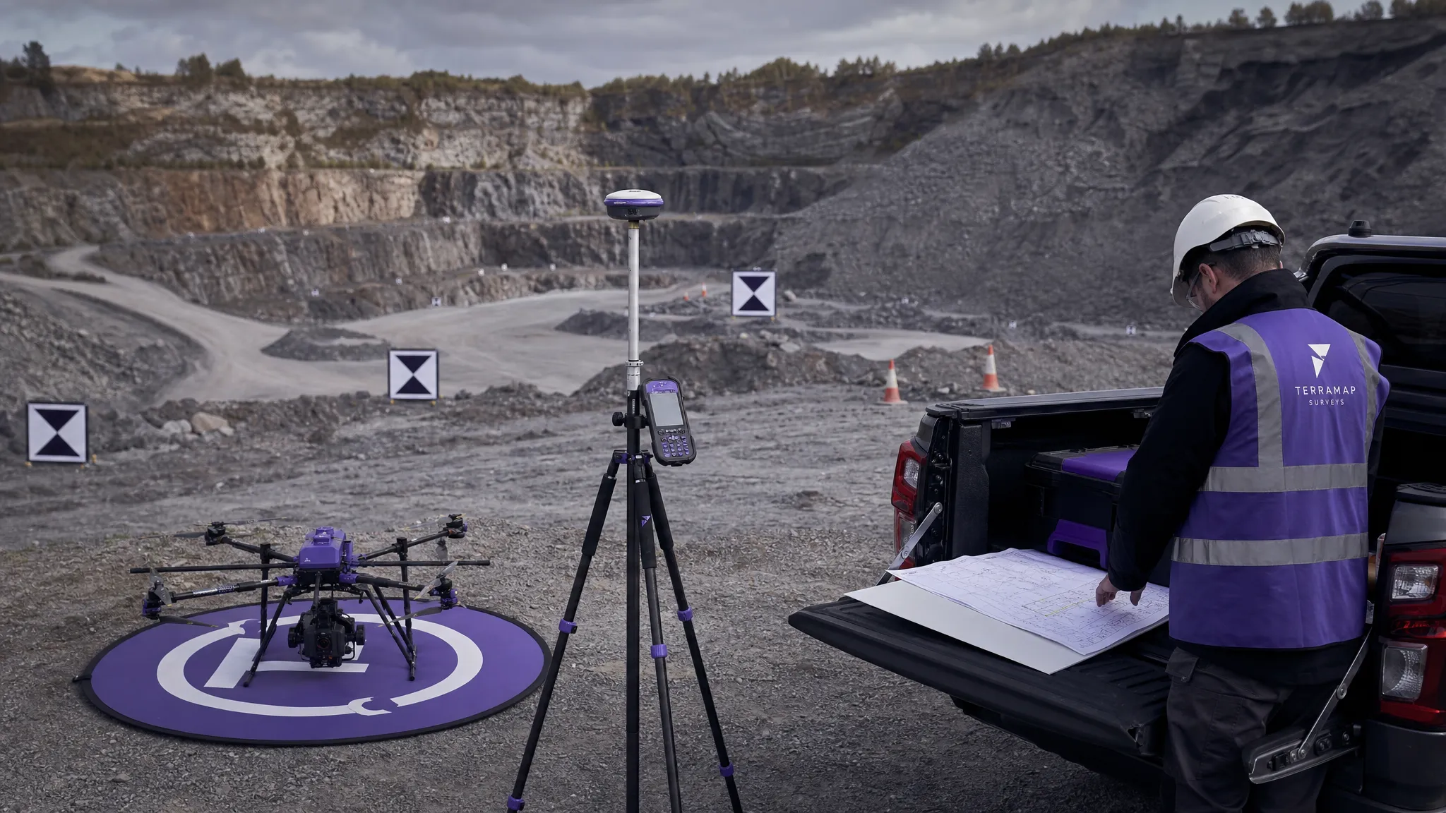 How to Choose an Aerial Survey Drone for Accurate Data →
 What Makes a Great Drone Operator in 2026? →
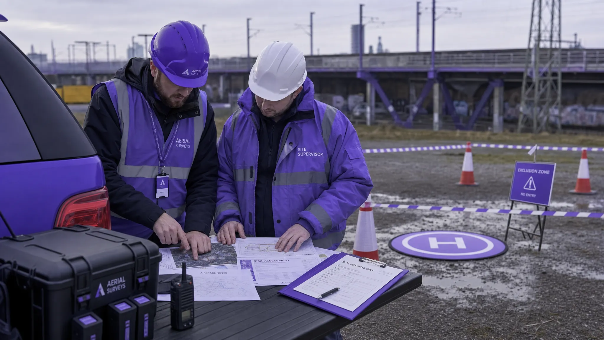 Drone Rules Every Commercial Operator Should Know →
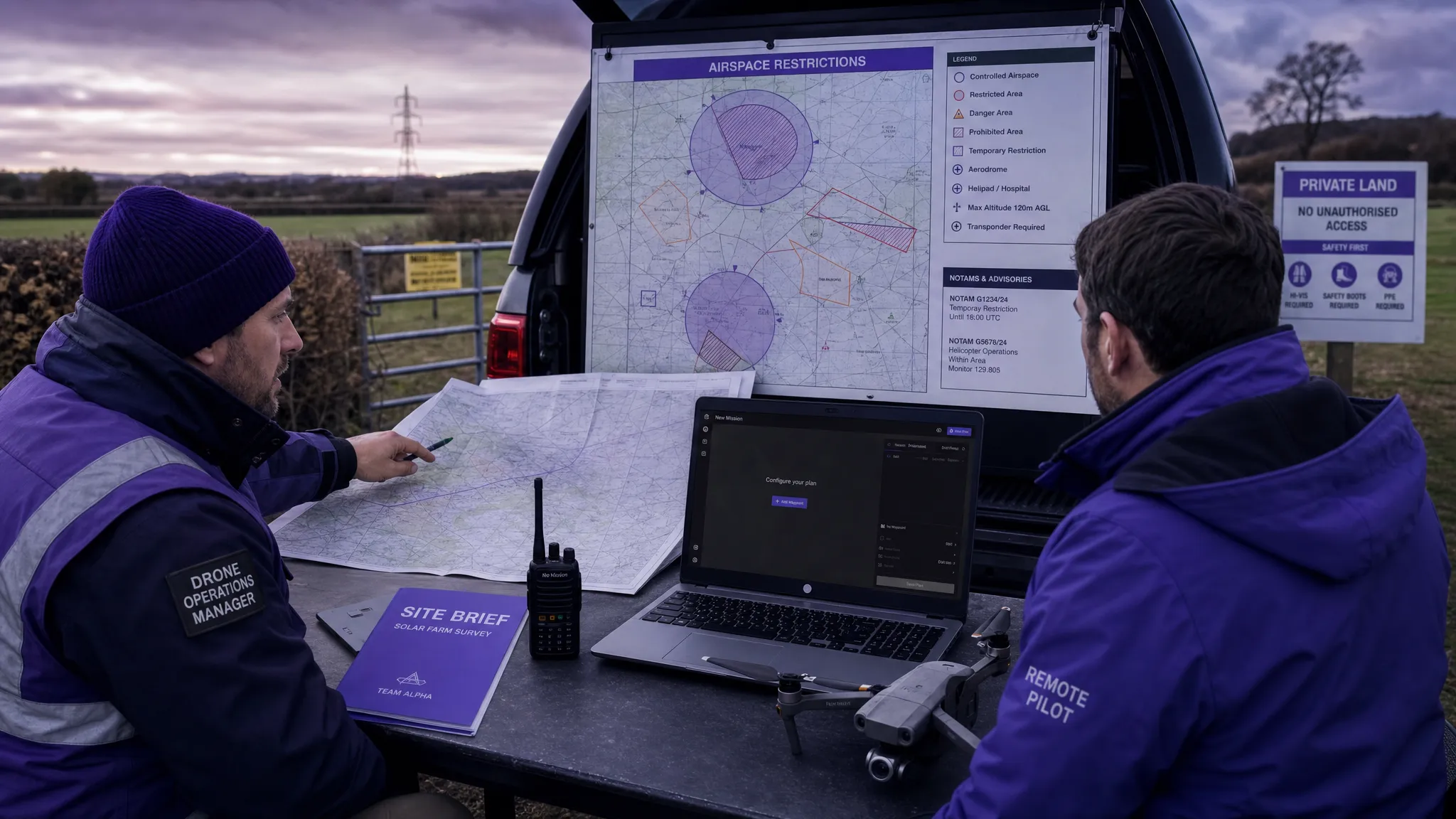 How to Use a Drone Flight Restrictions Map Safely →
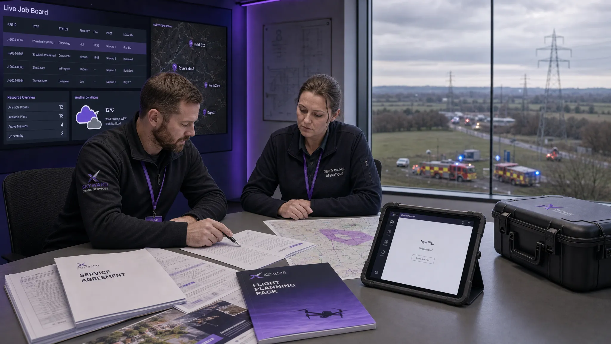 Drone as a Service: Is DaaS Right for Your Business? →
 BVLOS Explained for Commercial Drone Teams →