Drone Airspace Map Guide for Safer UK Flight Planning
For a UK drone operator, a drone airspace map is not just a pre-flight box to tick. It is the starting point for deciding whether a job is feasible, what permissions are needed, which hazards must be controlled and how much operational margin you need before take-off.
That matters because UK airspace is busy, layered and changeable. A rural mapping job can sit close to a military danger area. A roof survey can be just inside an airport Flight Restriction Zone. A utility inspection route can cross several local restrictions in a single morning. Emergency services may need to launch quickly, but still need a reliable way to understand airspace constraints and record the decision-making process.
This guide explains how to read a drone airspace map for UK flight planning, which layers deserve the most attention and how to turn map findings into a safer, more defensible operating plan.
What a drone airspace map actually tells you
A good drone airspace map combines aviation airspace data with drone-relevant operational context. It should help you answer four practical questions before you fly:
- Can we legally operate at this location and altitude?
- Do we need permission, coordination or notification?
- What air and ground hazards could affect safety?
- What evidence should we keep in the job record?
The map is not the whole risk assessment. It is one input into flight planning, alongside your operating category, aircraft, crew competence, site survey, landowner permission, weather, task complexity and emergency procedures.
The key UK airspace layers to check
Different map providers label layers differently, but the underlying planning logic is the same. Start with the layers that can stop or restrict the flight, then move to layers that influence risk controls.
| Map layer | What it means for drone planning | Action before flight |
|---|---|---|
| Flight Restriction Zones | Protected zones around aerodromes where drone flights require permission | Identify the relevant aerodrome or air traffic unit and obtain permission before operating |
| Controlled airspace | Airspace with defined classes and vertical limits, often around airports or busy routes | Check whether your planned operating volume enters it and whether coordination or permission is needed |
| Restricted, prohibited and danger areas | Areas where flight may be banned, restricted or hazardous, sometimes only when active | Check active times, vertical limits and controlling authority details |
| NOTAMs and temporary restrictions | Short-term changes such as air displays, emergency restrictions, VIP movements or temporary hazards | Recheck close to the flight, not only at quotation or planning stage |
| UAS restrictions and local constraints | Drone-specific restrictions, local policies or sensitive sites shown by some tools | Verify the source and include relevant controls in the plan |
| Ground and proximity hazards | Roads, railways, schools, built-up areas, infrastructure, people and property | Feed into take-off site choice, cordons, observers, emergency landing options and risk assessment |
| Radio or electrical hazards | Masts, high-intensity radio areas or power infrastructure | Consider command-and-control link reliability, compass interference and safe separation |
The important point is that not every visible layer has the same legal weight. A Flight Restriction Zone is different from a ground hazard marker. A danger area that is inactive may be very different from one that is active. Always read the layer details, not only the colour on the map.
UK rules that should sit behind your map reading
The UK Civil Aviation Authority sets the framework for drone operations. The CAA Drone and Model Aircraft Code is the best starting point for baseline responsibilities, including keeping safe distances, staying within the rules for your category of operation and understanding where you can fly.
For commercial and more complex operations, the CAA guidance in CAP 722 is the deeper reference point. Operators working under an Operational Authorisation in the Specific category should also follow the conditions and limitations in their own authorisation and operations manual.
A drone airspace map does not override those requirements. If your map looks clear but your planned flight would breach your authorisation, exceed your maximum height, involve unsafe proximity to people or need landowner consent you do not have, the map has not made the operation acceptable.
Flight Restriction Zones need special attention
FRZs are among the most common airspace issues for UK drone operators. If your planned operating volume falls within an aerodrome FRZ, you must obtain the appropriate permission before flying. This applies even if the flight is low, brief or for a routine commercial job.
Do not rely on visual judgement near an FRZ boundary. Use accurate coordinates, set a sensible buffer and record who granted permission, when it was granted and any conditions attached.
NOTAMs can change the picture at short notice
A site that looked straightforward a week ago may be affected by a temporary restriction on the day. NOTAMs can cover events, hazards, airspace activity and temporary restrictions that may not be obvious from a static map view.
For UK operations, check official aeronautical information through the NATS Aeronautical Information Service or a trusted planning tool using current data. Build a final NOTAM check into your day-of-flight workflow, especially for survey companies booking work in advance and emergency services operating under time pressure.
A practical workflow for safer UK flight planning
1. Define the operating volume first
Before opening the map, define exactly where the drone may go. Include the take-off and landing point, planned route or survey grid, maximum height, lateral buffers, emergency landing areas and any contingency manoeuvres.
This matters because permissions and risks apply to the operating volume, not just the central point of the job. A roof survey may be outside an FRZ at the customer address but inside it once you account for launch position, drift margins or a wider inspection orbit.
2. Check strategic airspace early
At quotation or tasking stage, check the major constraints. Look for FRZs, restricted areas, danger areas, controlled airspace, prisons, military sites and other sensitive locations flagged by your mapping tool.
Early checking helps you avoid promising a launch time you cannot meet. It also gives you time to request permissions, speak to air traffic units, brief the client and choose an alternative site if needed.
3. Read vertical limits carefully
Many airspace mistakes come from reading the horizontal boundary but ignoring the vertical dimension. Some controlled airspace begins at the surface. Other airspace may start above your planned drone height. Danger and restricted areas can have defined upper and lower limits.
Compare the map layer limits with your planned maximum height above ground level. If your flight profile includes climbing terrain, buildings or masts, consider the actual relationship between the aircraft and the ground throughout the operation.
4. Check active times and conditions
Some areas are only active at certain times, by NOTAM or during published operating hours. Others may be permanently active. A safe planning process should capture the date and time of the flight, the source checked and whether the restriction was active.
For repeated work, such as utility corridor inspections or construction progress surveys, do not assume last month’s airspace status still applies. Treat each deployment as a fresh check.
5. Identify who can grant permission
If the map shows a permission requirement, identify the correct authority. For an aerodrome FRZ, this is normally the relevant air traffic control unit, flight information service unit or aerodrome operator, depending on the aerodrome.
Record the permission route clearly. Include contact details, reference numbers if provided, operating limitations, time windows, altitude limits and any communications requirements. If you cannot identify the permission route confidently, pause and verify before flying.
6. Convert map findings into risk controls
Airspace intelligence only improves safety when it changes the plan. If the map reveals a busy road, nearby school, railway, helipad, power line or congested area, translate that into specific controls.
Controls might include changing the launch point, reducing the operating height, using a visual observer, creating a sterile area, delaying the flight, changing the aircraft, adding a lost-link procedure or briefing the client about exclusion zones.
7. Brief the team using the map
For multi-person operations, the airspace map should form part of the crew briefing. Everyone should understand the boundaries, maximum height, abort triggers and nearby airspace or ground hazards.
This is especially important for emergency services and utility operators where crews may work in dynamic environments. A shared map view reduces ambiguity when conditions change.
8. Save evidence in the job record
If something is not recorded, it is hard to prove later. Keep a record of the map source, date and time checked, restrictions identified, permissions obtained and final go or no-go decision.
Screenshots can be useful, but they should not be your only evidence. Record the reasoning too. For example, note that a nearby danger area was checked, inactive at the time of flight and outside the planned operating volume.
How to interpret a map without overreacting
A common problem with drone airspace maps is information overload. Operators see coloured shapes and either avoid safe work unnecessarily or miss the restriction that actually matters.
Use this simple decision table when you click a map layer.
| Question to ask | Why it matters |
|---|---|
| Does this layer apply at ground level or at my planned height? | Some airspace is above the drone operating volume, while some starts at the surface |
| Is it active at the date and time of flight? | Temporary or time-limited restrictions may not apply continuously |
| Is permission mandatory, recommended or simply advisory? | Different layers require different responses |
| Who owns or controls the restriction? | You need the correct authority for permissions and coordination |
| What is my margin from the boundary? | GPS error, wind drift and operational contingency can put you closer than planned |
| Does this affect my risk assessment? | Even non-airspace hazards can change launch location, crew roles and emergency planning |
When in doubt, build in more margin or seek clarification. For commercial operators, the cost of a delayed flight is usually lower than the cost of an unsafe or non-compliant one.
Scenario guidance for different UK operators
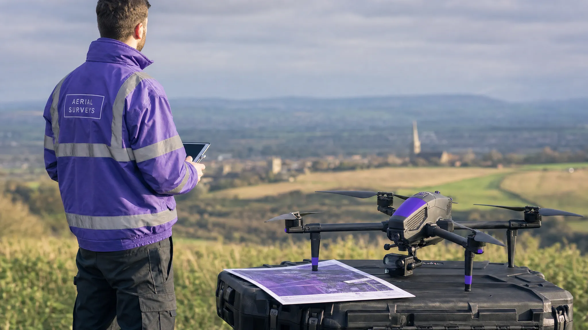
Survey companies
Survey flights often involve grids, repeated passes and consistent altitude. That makes the operating volume predictable, but it can also make the aircraft spend longer near a boundary or sensitive site.
For mapping and inspection work, check the full survey polygon rather than the centre point. If the job is near an FRZ, danger area, heliport or temporary restriction, adjust the grid and margins before the crew arrives on site. Record any client-driven constraints, such as access times or restricted take-off areas, because they can affect your ability to remain clear of airspace boundaries.
Utility companies
Utilities work often follows linear assets such as power lines, pipelines, rail corridors, water networks or telecoms infrastructure. A single route can cross multiple airspace environments.
Break the route into segments and assess each one separately. Look for changes in airspace class, nearby aerodromes, temporary restrictions, built-up areas and safe emergency landing options. Segment-based planning makes it easier to brief crews and pause operations before entering a more complex area.
Emergency services
Emergency services may have urgent operational needs, but speed should not mean guesswork. The best approach is preparation before the incident: known launch sites, pre-identified local airspace constraints, clear escalation routes and team members trained to interpret maps quickly.
During an incident, recheck NOTAMs and temporary restrictions where time allows, coordinate with relevant authorities and record the decision path. If your organisation operates under specific legal powers or exemptions, make sure crews understand exactly when those apply and what internal procedures must be followed.
Common drone airspace map mistakes to avoid
Even experienced operators can get caught out by avoidable planning errors. The most common issues are rarely about not having a map at all. They are about using it too casually.
- Relying on an old screenshot instead of current airspace data.
- Checking the client’s postcode but not the actual take-off point and operating volume.
- Ignoring vertical limits and active times.
- Assuming a clear-looking map means the flight is automatically legal.
- Forgetting to check NOTAMs close to the flight.
- Missing ground hazards because the focus is only on controlled airspace.
- Failing to record permissions, map checks and final decisions.
A robust process should make these mistakes difficult to make. The goal is not just to find problems, but to create a repeatable planning habit that works under pressure.
Where Dronedesk fits into airspace-led flight planning
Airspace checks become more valuable when they are connected to the rest of the operation. A map finding should flow into the flight plan, risk assessment, checklist, crew briefing and flight log, rather than living in a separate app or screenshot folder.
Dronedesk is built for drone operations management and, as shown on the Dronedesk features page, includes airspace intelligence, proximity intelligence, flight planning, configurable checklists, risk assessments, flight logging, client management, fleet management, team management and data reporting.
For operators managing multiple jobs, pilots or assets, that combination helps keep planning information in the same operational workflow. Instead of treating the drone airspace map as an isolated check, you can make it part of the job record and the wider safety process.
Frequently Asked Questions
What is a drone airspace map? A drone airspace map is a planning tool that shows airspace restrictions, aerodrome zones, temporary notices and other hazards relevant to drone flights. In the UK, it should be used alongside CAA rules, your operating category and your own risk assessment.
Can I fly a drone inside a UK Flight Restriction Zone? You can only fly inside an aerodrome Flight Restriction Zone if you have the appropriate permission from the relevant authority. Always check the exact FRZ boundary, your operating volume and any permission conditions before flying.
Do I need to check NOTAMs if my drone app shows no restrictions? Yes. NOTAMs can introduce temporary restrictions or hazards that affect your flight. A final NOTAM check close to the operation is a sensible part of UK drone flight planning.
Does controlled airspace automatically ban drone flights? Not always. The key questions are whether the controlled airspace applies at your planned location and height, and whether permission or coordination is required. Read the vertical limits and conditions carefully.
How far ahead should I check a drone airspace map? Check early when scoping the job, then check again before travelling and on the day of flight. For higher-risk or permission-dependent work, start early enough to contact the relevant authority.
Is a drone airspace map enough for compliance? No. It is only one part of compliance. You also need to consider CAA rules, your authorisation if applicable, aircraft suitability, pilot competence, site hazards, privacy, land access, weather and emergency procedures.
Make every airspace check part of safer operations
A drone airspace map is most powerful when it drives action. It should help you identify restrictions, request permissions, choose safer launch points, brief your team and create a clear record of your decisions.
If your operation is growing beyond ad hoc checks and scattered paperwork, Dronedesk can help bring flight planning, airspace intelligence, risk assessments, checklists and logs into a single workflow. Explore the platform at Dronedesk and make safer UK flight planning easier to manage from the first enquiry to the final flight record.
 Drone Regulations Checklist for Commercial Flights →
 Drone Flying Laws: A Practical Guide for Operators →
 CAA UAV Regulations Explained for UK Operators →
 UK SORA Explained for Drone Operators →
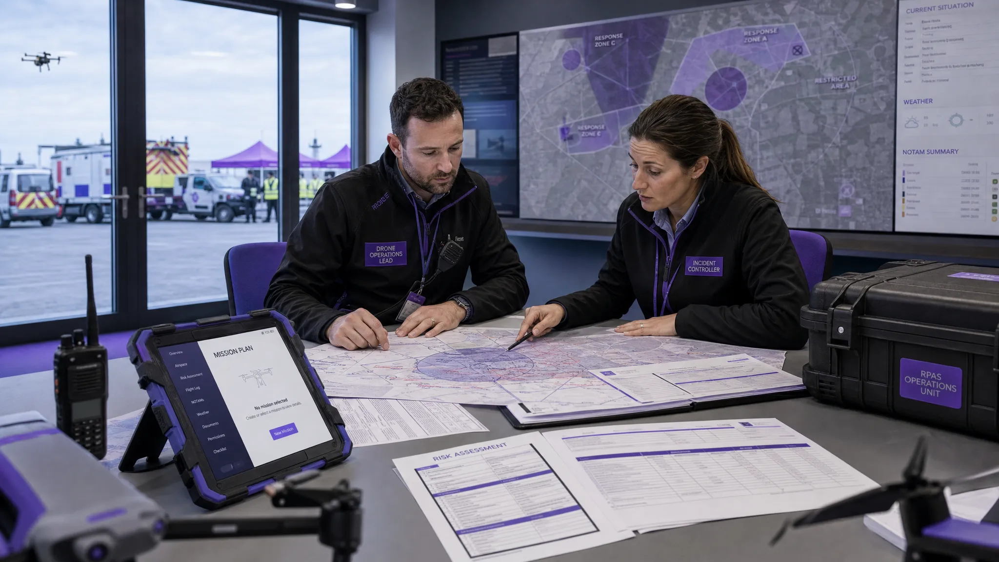 AUS Drone Laws Explained for Commercial Operators →
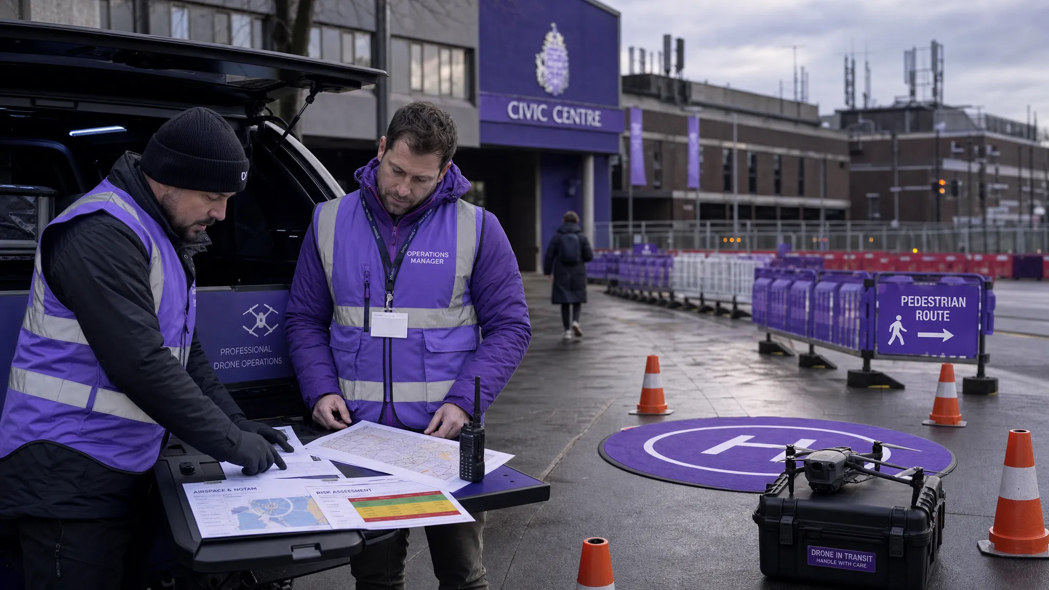 Drone Flying Rules Explained for Business Use →
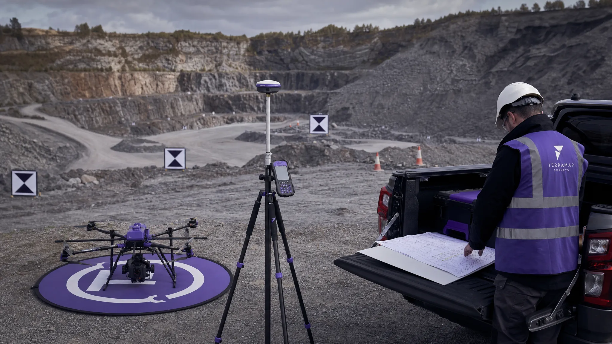 How to Choose an Aerial Survey Drone for Accurate Data →
 What Makes a Great Drone Operator in 2026? →
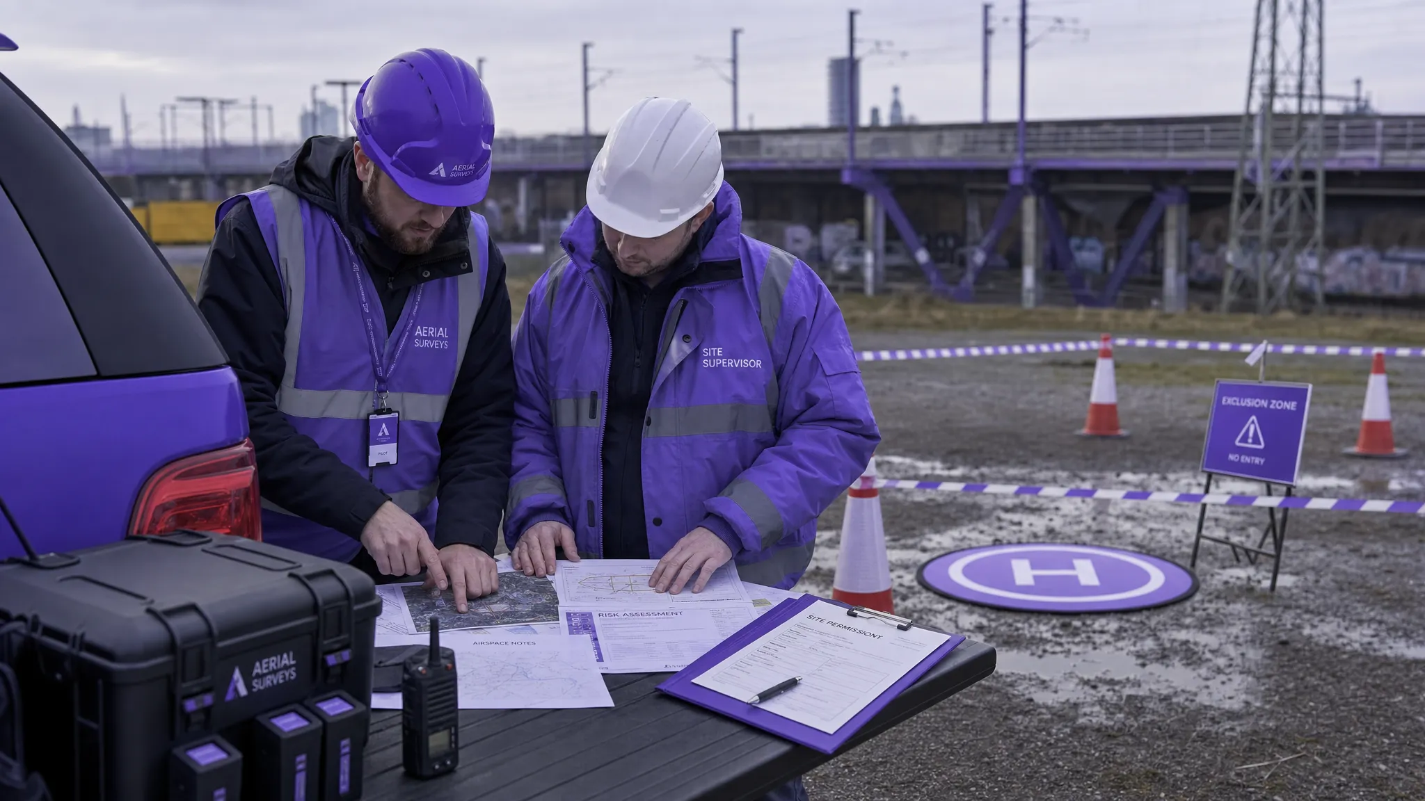 Drone Rules Every Commercial Operator Should Know →
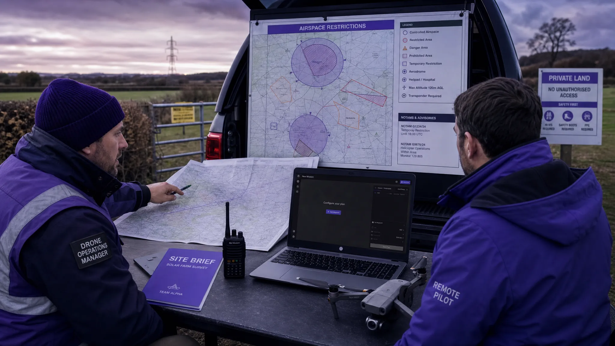 How to Use a Drone Flight Restrictions Map Safely →